The Counties Bigger Than Some Countries
In the United States, local government lines can sometimes swallow entire nations. Several local municipal districts in the U.S. (principally, counties) are geographically larger than sovereign, globally recognized nations. While Alaska holds the absolute records, that state does not technically use the term "counties." Instead, Alaska favors the terms, "boroughs" and "census areas." In this article, for the sake of true "county-to-country" comparison, we will acknowledge the top census area in Alaska and pull the other nine counties from the 48 contiguous U.S. states. Here are the top 10 U.S. counties that are larger than some countries.
Yukon-Koyukuk Census Area, Alaska

At 147,842 square miles, the Yukon-Koyukuk Census Area in Alaska is the largest county-equivalent in the U.S. This census area is greater than the state of Montana and bigger than entire countries such as Germany, Japan, and Vietnam. It could fit Greece (at 50,949 sq. mi.) and Portugal (measuring 35,556 sq. mi.) simultaneously.
San Bernardino County, California
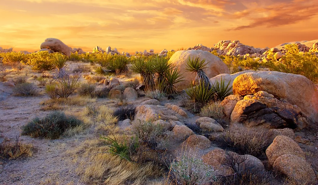
Measuring 20,105 sq. mi., San Bernardino County, California is the largest county in the contiguous U.S. It includes the Mojave Desert. This county is about equal in size to the country of Bosnia and Herzegovina, though somewhat smaller than the state of West Virginia. San Bernardino County is larger than many countries, including Kuwait, Montenegro, Timor-Leste, The Gambia, and Vanuatu.
Coconino County, Arizona

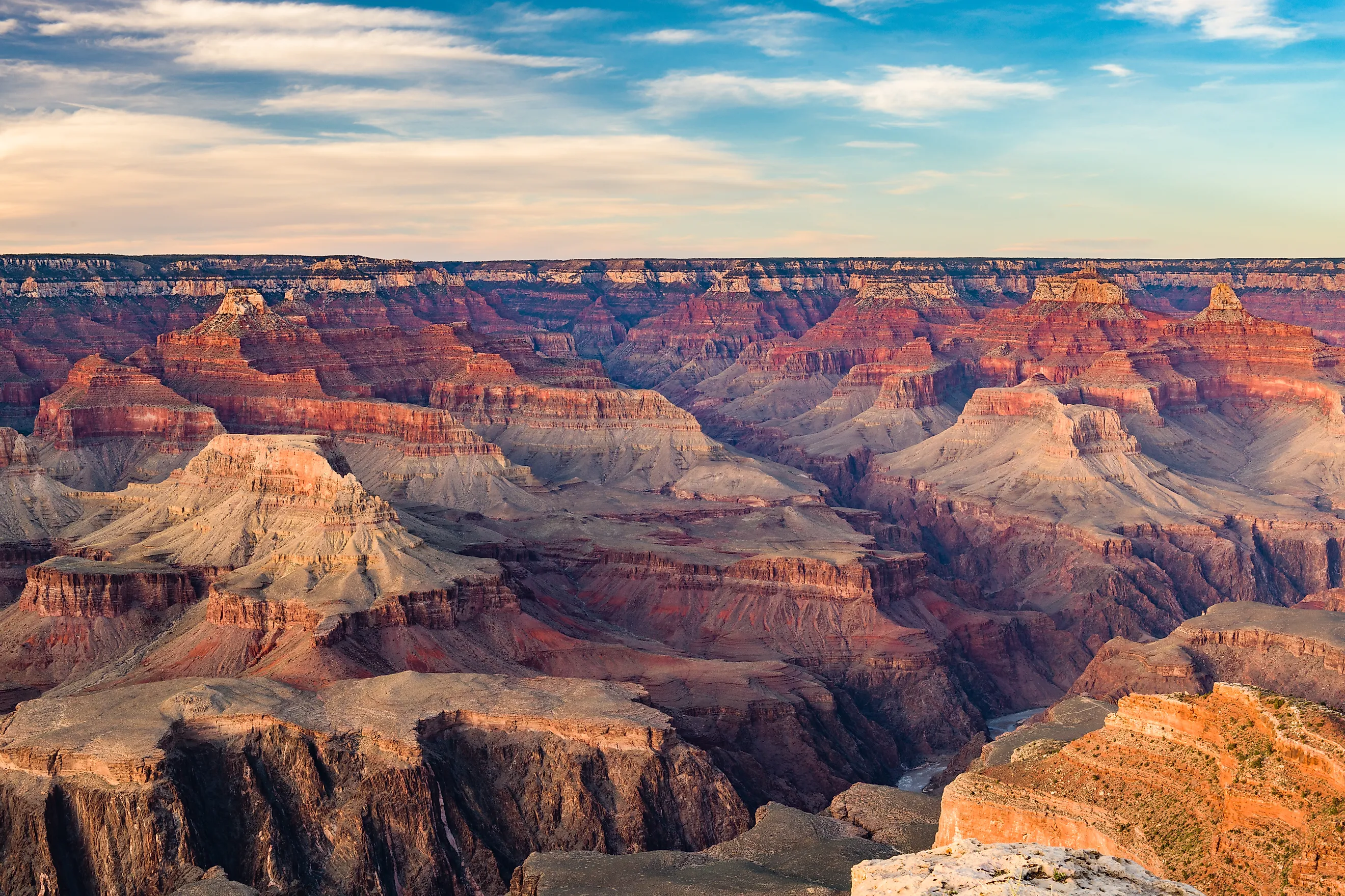
Home to the Grand Canyon, Coconino County, Arizona measures 18,661 sq. mi., and is the second-largest county in the lower 48 U.S. states. This county is bigger than nine individual states: Maryland, Vermont, Rhode Island, Delaware, New Jersey, Connecticut, New Hampshire, Hawaii, and Massachusetts. Coconino County's area is also greater than countries like Estonia, Qatar, and Lebanon.
Nye County, Nevada

Nye County, at 18,159 sq. mi., is the largest county in Nevada and the third-largest county in the contiguous U.S. Including the Nevada Test Site, it is similar in size to the countries of the Dominican Republic and Estonia, and is larger than The Gambia and Jamaica. The countries of El Salvador (8,124 sq. mi.) and Fiji (7,056 sq. mi.) could both fit inside Nye County at the same time.
Elko County, Nevada

At 17,203 sq. mi., Elko County, Nevada is the fourth-largest county in the contiguous U.S. The county is so large that it spans two time zones, Pacific and Mountain. It has a greater area than the countries of Denmark, Switzerland, and the Netherlands. Elko County could fit the countries of Israel (8,019 sq. mi.) and Kuwait (6,880 sq. mi.) inside its borders at the same time.
Mohave County, Arizona

Mohave County, Arizona, at 13,470 sq. mi., is larger than the countries of Moldova, Belgium, Lesotho, and Armenia. Israel and Montenegro (5,333 sq. mi.) could both fit inside of this county simultaneously.
Apache County, Arizona

Measuring 11,218 sq. mi., much of it being Navajo Nation land, Apache County, Arizona is bigger than the nations of Albania, Solomon Islands, Burundi, and Haiti. It could fit the countries of El Salvador (8,124 sq. mi.) and Luxembourg (998 sq. mi.) within its borders at the same time.
Lincoln County, Nevada
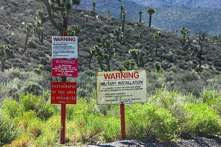
Lincoln County, Nevada, at 10,637 sq. mi., contains parts of the infamous Area 51. This county is larger than the nations of Rwanda and North Macedonia. The nations of Belize (8,867 sq. mi.) and Cape Verde (1,557 sq. mi.) could both fit inside of Lincoln County at the same time.
Sweetwater County, Wyoming

The largest county in Wyoming, Sweetwater County measures 10,491 sq. mi. It is bigger than the countries of Djibouti and Belize. This county could fit both the countries of Montenegro (5,333 sq. mi.) and Cyprus (3,572 sq. mi.) combined.
Inyo County, California

Inyo County, California, at 10,227 sq. mi., is home to Death Valley and Mount Whitney. This county is larger than the nations of El Salvador and Israel. It could fit both Israel and Luxembourg inside its borders simultaneously.
Counties that are Behemoths
The phenomenon of massive counties exists primarily due to the vast, federally managed public lands and historical land-grant layouts of the American West. The history of American westward expansion, including the Homestead Act of 1862 and the Forest Reserve Act of 1891, helps to explain why counties out west were drawn so large. This was often done to encompass huge, sparsely populated desert and mountain ranges under one, single, administrative umbrella. These boundaries were not drawn by accident, but rather, out of necessity to govern millions of acres of rugged wilderness, creating administrative districts that are larger than entire international countries. The fact that a single government entity in places like California, Nevada, or Arizona can completely swallow European nations highlights just how uniquely immense the American landscape truly is.
County sizes come from the US Census Bureau. Country sizes come from the United Nations Statistics Division (UNSD) Demographic Yearbook (2024) and the World Bank.