Maps of West Virginia

West Virginia, located in the southeastern region of the United States, shares its borders with Virginia to the southeast, Kentucky to the southwest, Ohio to the northwest, Pennsylvania to the north, and Maryland to the northeast. The state encompasses a total area of 24,230 mi2 (62,755 km2), making it the 41st largest US state.
West Virginia, from west to east, is divisible into three primary geographic regions:
Appalachian Plateau Province: This region, lying within the southern Appalachian range, occupies the western part of West Virginia and is known for its rugged landscape, formed primarily of sedimentary rocks. The Allegheny Mountain Section, a notable part of this province, features rolling hills and deep valleys. The Allegheny Front, serving as a boundary of the plateau, presents a remarkable escarpment marking the transition from the high plateau to the lower lying areas. This region is characterized by its deeply dissected and irregular topography, which has shaped the flow of numerous small rivers and streams.
Valley and Ridge Province: East of the Appalachian Plateau lies the Valley and Ridge Province, a region distinguished by its long, parallel ridges and valleys, a result of eroded folded and faulted sedimentary rocks. The Great Valley subprovince is a notable feature in this area, offering a contrast to the surrounding higher ridges with its fertile valleys. This region's geological history is evident in its alternating series of ridges and valleys, which have been shaped over time by both erosion and tectonic activity.
Blue Ridge Province: The easternmost region of West Virginia, the Blue Ridge Province, is characterized by its high, rugged mountains, which are part of the larger Blue Ridge Mountain range. This province is defined by its old, crystalline rocks, which differ significantly from the sedimentary formations of the other regions. The highest point in West Virginia, Spruce Knob, with an elevation of 4,863 feet (1,482 meters), is located in the Blue Ridge Province. This peak represents the culmination of the state's mountainous topography and serves as a significant landmark within the province.
Major Bodies of Water: The Ohio River, forming part of the state's western boundary, is a significant waterway, alongside the Kanawha and Monongahela Rivers, which play crucial roles in the state's hydrology. These rivers, along with their numerous tributaries, have been instrumental in sculpting the state's terrain, creating fertile valleys and contributing to the region's overall topography. Lakes in West Virginia, though not as prominent as the rivers, add to the state's aquatic landscape, with Summersville Lake being one of the largest.
Counties Map
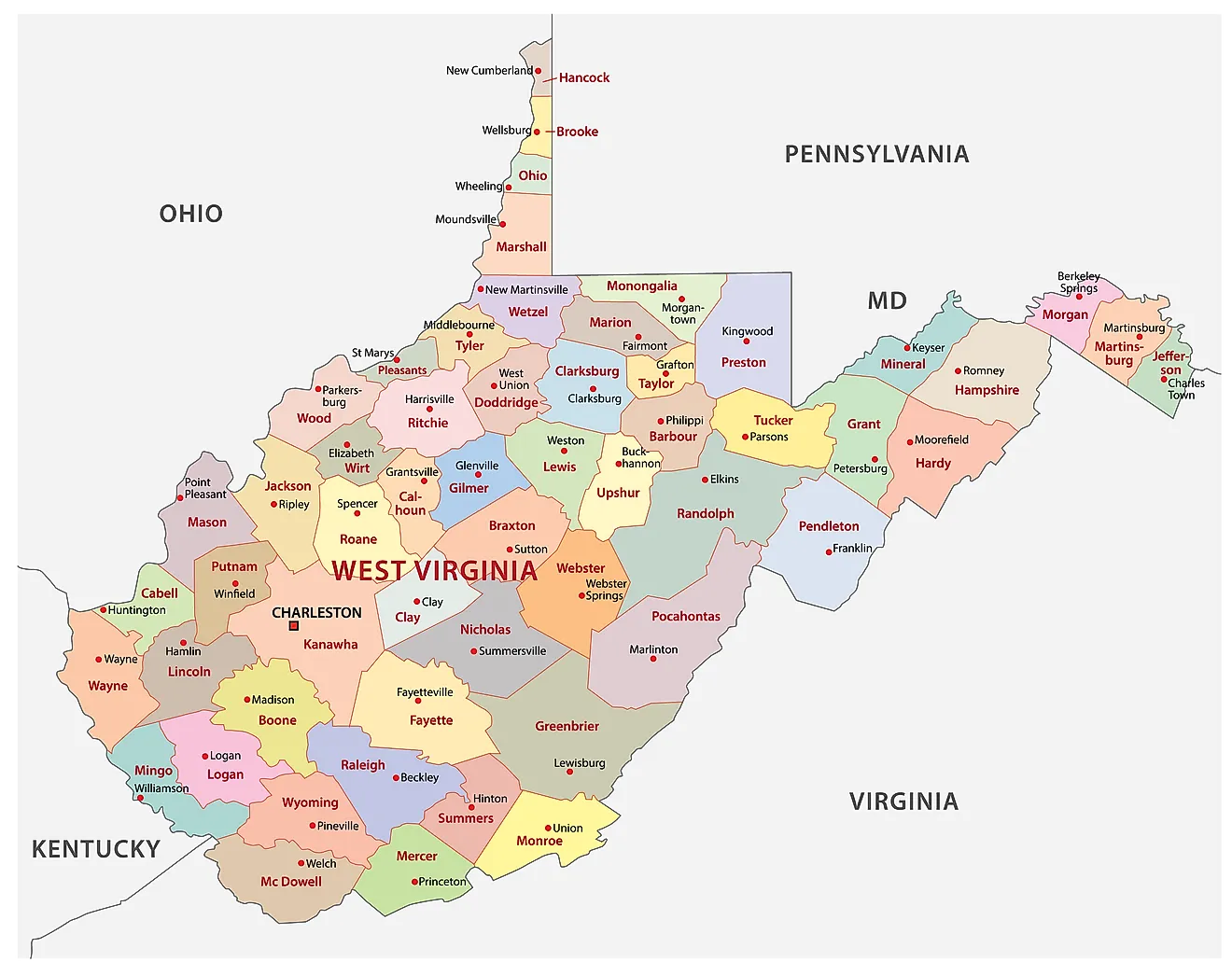
The State of West Virginia is divided into 55 counties. In alphabetical order, these counties are: Barbour, Berkeley, Boone, Braxton, Brooke, Cabell, Calhoun, Clay, Doddridge, Fayette, Gilmer, Grant, Greenbrier, Hampshire, Hancock, Hardy, Harrison, Jackson, Jefferson, Kanawha, Lewis, Lincoln, Logan, Marion, Marshall, Mason, McDowell, Mercer, Mineral, Mingo, Monongalia, Monroe, Morgan, Nicholas, Ohio, Pendleton, Pleasants, Pocahontas, Preston, Putnam, Raleigh, Randolph, Ritchie, Roane, Summers, Taylor, Tucker, Tyler, Upshur, Wayne, Webster, Wetzel, Wirt, Wood, and Wyoming.
With an area of 62,754.8 sq. km, West Virginia is the 41st largest and the 38th most populous state in the USA. Located in the south-central part of the state, at the confluence of Elk and Kanawha Rivers in the Allegheny Mountains is Charleston – the capital, the largest and the most populous city of West Virginia. It serves as an administrative, cultural, economic, and industrial center for the state.
Where is West Virginia?
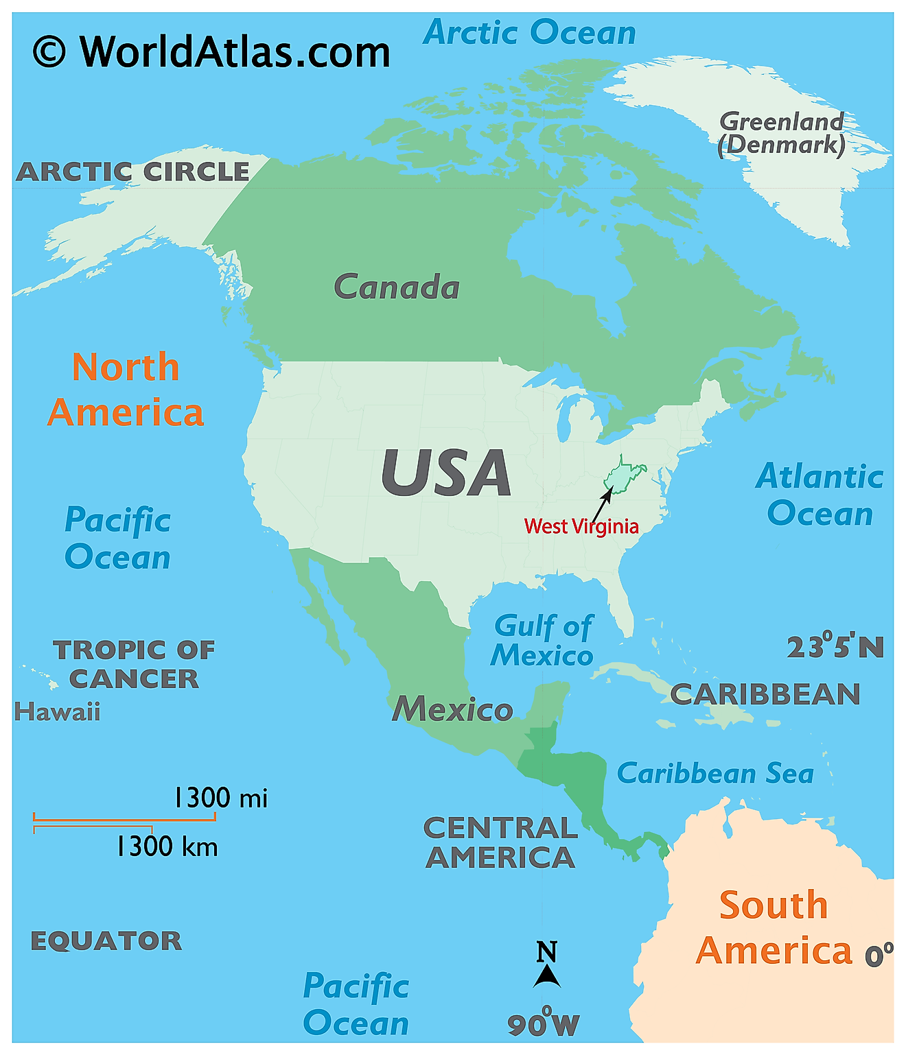
The State of West Virginia is located in the South Atlantic Region of the United States. West Virginia is landlocked and shares its land borders with 5 states. It is bordered by Virginia in the southeast; by Kentucky in the southwest; by Ohio in the northwest; by Pennsylvania in the northeast and by Maryland in the east and northeast.
Regional Maps: Map of North America
Outline Map of West Virginia
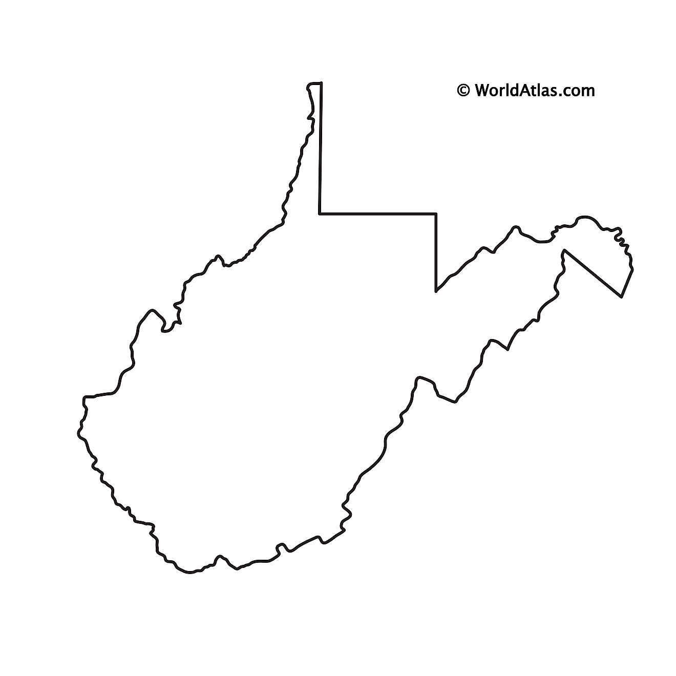
The above blank map represents the State of West Virginia, located in the South Atlantic Region of the United States. The above map can be downloaded, printed and used for geography education purposes like map-pointing and coloring activities.
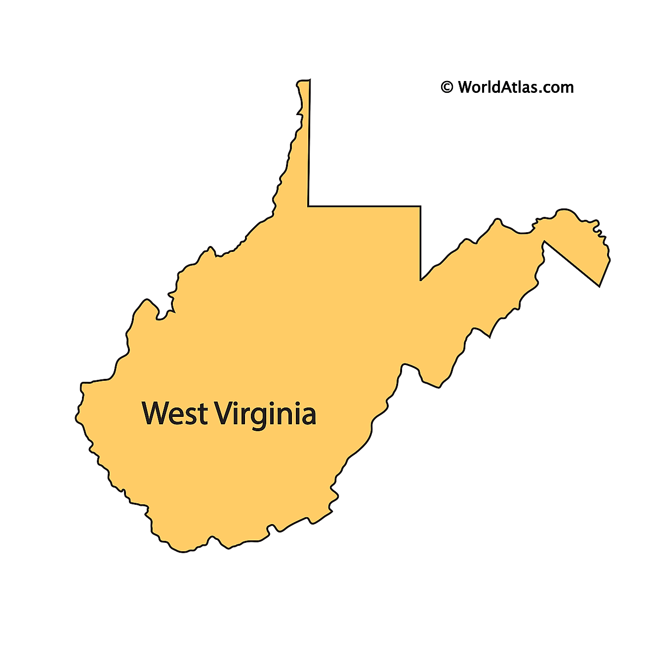
The above outline map represents the State of West Virginia, located in the South Atlantic Region of the United States. It has been nicknamed as "Mountain State" due to its location at an elevation of 1,500ft (460m), which is the highest among all states of the nation, that are situated to the east of the Mississippi River.
Key Facts
| Legal Name | State of West Virginia |
|---|---|
| ISO 3166 Code | US-WV |
| Capital City | Charleston |
This page was last updated on January 18, 2024


