Maps of Delaware
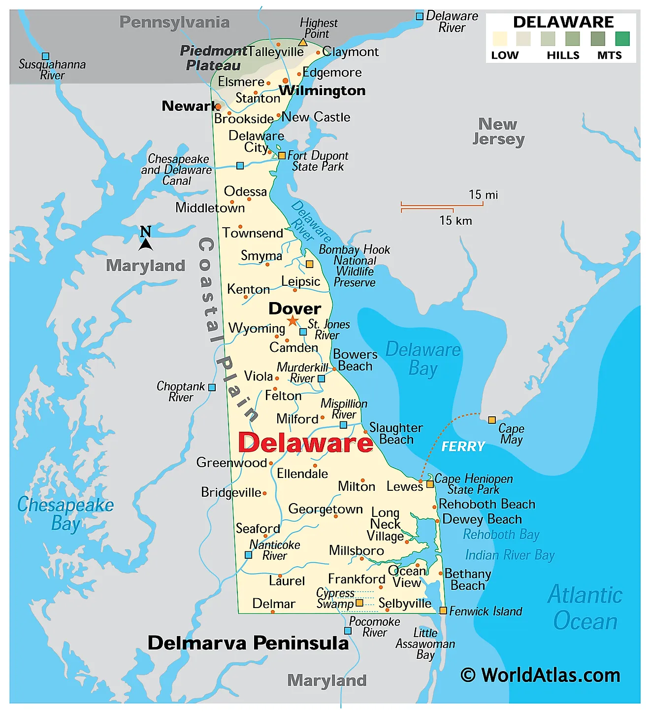
Delaware, one of the Mid-Atlantic states, is situated in the northeastern United States, in the northeastern part of the Delmarva Peninsula. It shares its eastern border, divided by the Delaware River, with New Jersey; its northern border with Pennsylvania; and its southern and western borders with Maryland. The state's eastern coastline runs along the Delaware Bay and the Atlantic Ocean.
The capital of Delaware is Dover, whereas Wilmington, with a population of approximately 71,000, is the state's most populous city.
Delaware, known as "The First State," was the first colony to ratify the United States Constitution on December 7, 1787, making it the first state of the Union. The state's name honors Thomas West, 3rd Baron De La Warr, an English nobleman and the first governor of the Colony of Virginia.
Area
Delaware has a total land area of 2,489 square miles (6,446 square kilometers) making it the second smallest state in the country. It is twice the size of Luxembourg and eight times smaller than Switzerland. Compared to U.S. states, it is roughly five times smaller than Massachusetts and 134 times smaller than Texas.
Bodies of Water
Delaware's largest lakes are Lums Pond, Silver Lake, and Trap Pond. The longest river in the state, the Delaware River, flows along the northeastern border before emptying into the Delaware Bay. In addition to Delaware Bay, Little Assawoman Bay and Rehoboth Bay are inland bays located along the southeastern coastline.
Geographical Regions
Generally speaking, Delaware is flat, with one of the lowest average elevations in the country. The state comprises two distinct geographical regions: the Atlantic Coastal Plain and the Appalachian Piedmont.
Atlantic Coastal Plain
The Atlantic Coastal Plain encompasses nearly the entire state of Delaware, rising just 100 feet above sea level. Slow-moving streams drain into the Delaware River and Delaware Bay. Near these streams, saltwater, brackish, and freshwater marshes are found. In the northern part of this region, woodlands are covered with maples, oaks, gums, and American holly trees, while loblolly and Virginia pines become more prevalent moving south.
Appalachian Piedmont
Although most of Delaware is flat, the northernmost tip of the state features rolling hills, forming the Appalachian Piedmont region. These hills, rising over 400 feet above sea level, are part of the Appalachian Mountain foothills. The superficial rocks of this area are primarily old, metamorphic rocks. The region is characterized by rocky, fast-moving streams and deciduous forests with hickories, oaks, tulip trees, and American beech. Some marshes and vernal pools are also found within the floodplains of the streams.
Counties Map
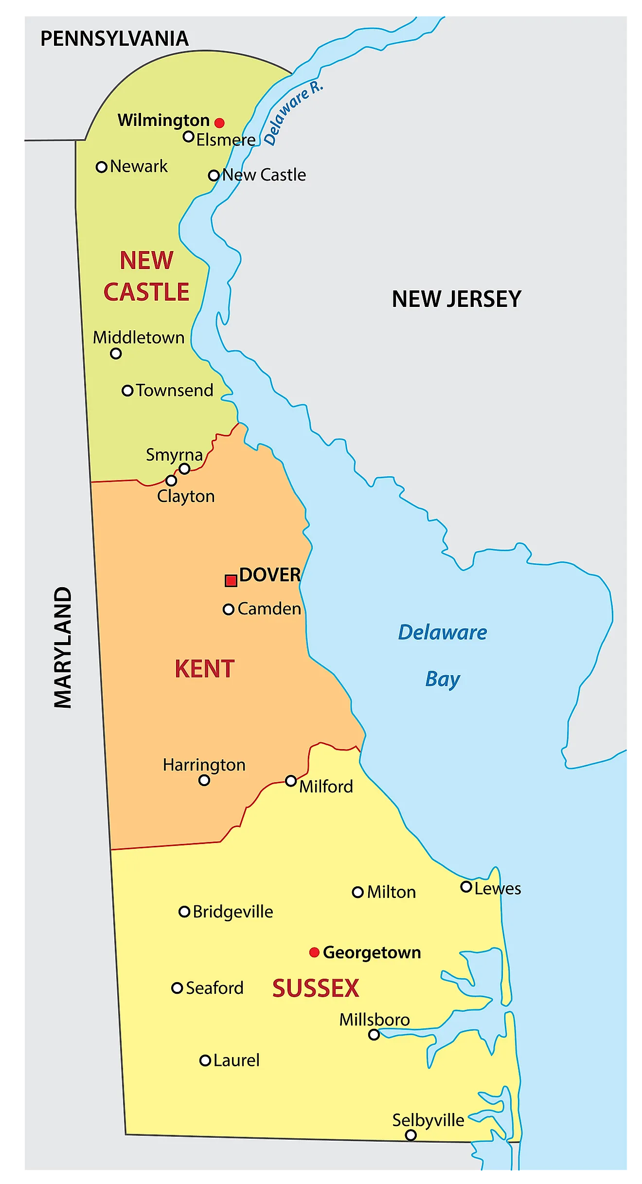
The State of Delaware is divided into 3 counties. In alphabetical order, these counties are: Kent, New Castle, Sussex.
With an area of 5,060 sq. km, the State of Delaware is the 2nd smallest state amongst all the 50 states of the USA. Located in Kent County, along the St. Jones River, in the east-central part of the state is Dover – the capital city of Delaware. Situated in the New Castle County, along the confluence of the Christina River and the Delaware River is Wilmington – the largest and the most populous city in Delaware. It also serves as the chief port and the industrial, financial, and commercial center of Delaware.
Where is Delaware?
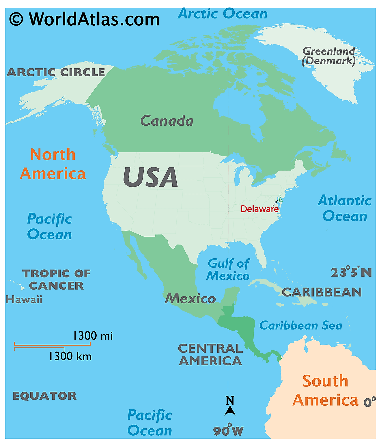
The State of Delaware is located in the Mid-Atlantic region of the United States. Delaware is bordered by the state of Maryland in the west and south; by Pennsylvania in the north, and by New Jersey in the east. It is also bordered by the Atlantic Ocean, Delaware Bay, and Delaware River in the southeast.
Regional Maps: Map of North America
Outline Map of Delaware
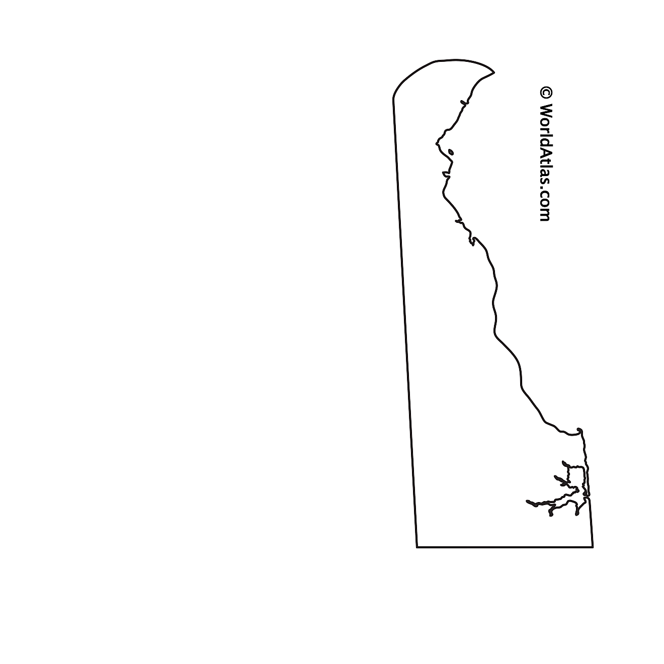
The above blank map represents the State of Delaware, located in the Mid-Atlantic region of the United States. The above map can be downloaded, printed and used for geography education purposes like map-pointing and coloring activities.
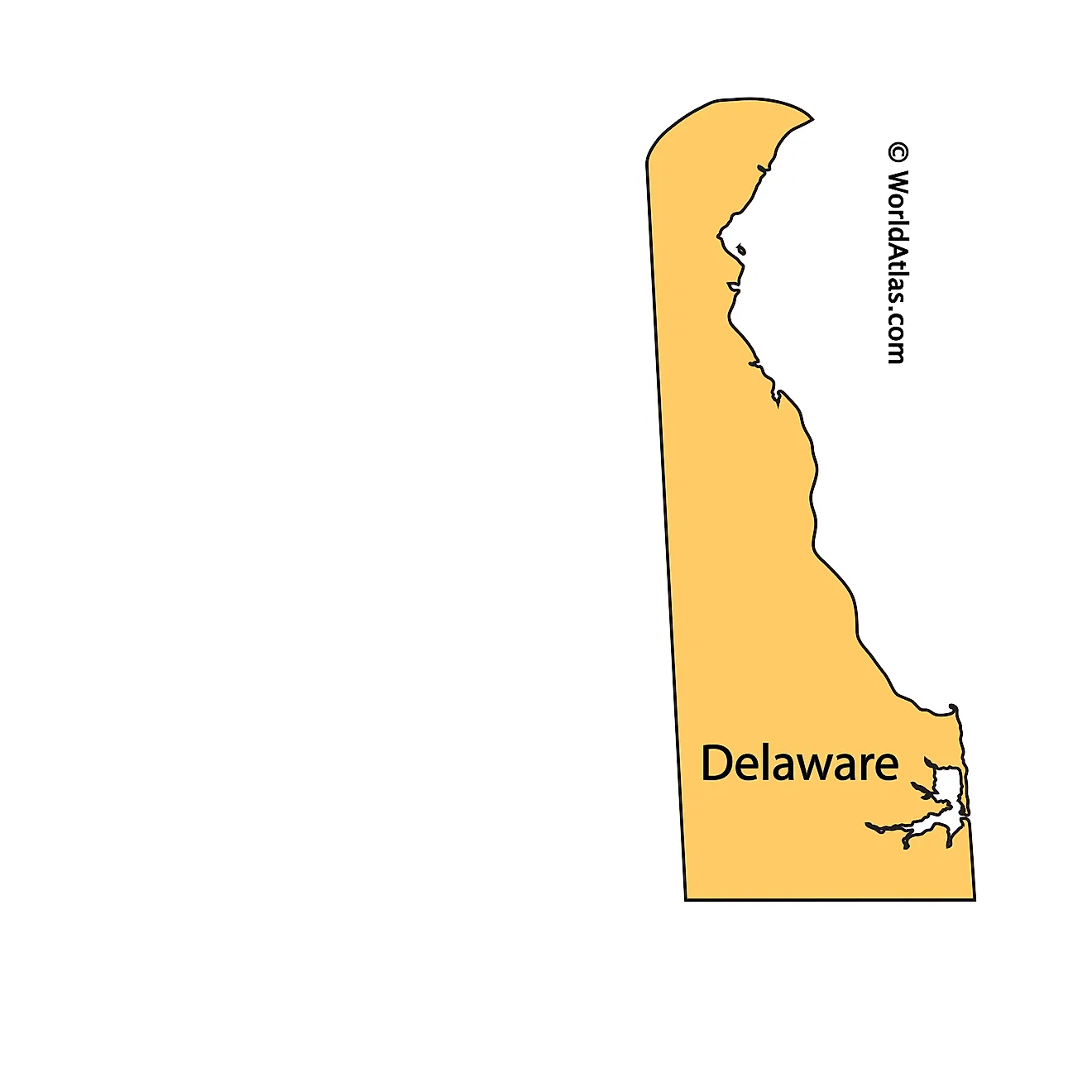
The above outline map represents the State of Delaware, located in the Mid-Atlantic region of the United States.
Key Facts
| Legal Name | State of Delaware |
|---|---|
| ISO 3166 Code | US-DE |
| Capital City | Dover |
This page was last updated on July 29, 2024


