Maps of California

California, nicknamed the Golden State, sits on the United States Western coast. It borders the states of Arizona, Nevada, and Oregon. Additionally, it extends southward to Mexico and is bordered by the Pacific Ocean to the west.
In 1848, the United States acquired California from Mexico, marking the end of the Mexican-American War. It officially became the 31st state in the Union two years later in 1850.
Population and Cities
With a population of approximately 39 million people, California is the most populous state in the country. The capital of California, Sacramento, is situated in the northern part of the state, while Los Angeles, California’s most populated city, sprawls along the southern Pacific coast. San Francisco, San Jose, San Diego, and Long Beach are also major cities.
Area
With a land area of 163,696 mi² (423,971 km²), California is the third largest state in the US, surpassed by only Alaska and Texas. It is roughly the same size as Sweden and four times larger than South Korea. Compared to other US States, West Virginia would fit into California nearly seven times.
Regions of California
Generally speaking, California can be divided into four natural regions: The Mountain Region, Coastal Region, Desert Region, and Central Valley Region.
Mountain Region
California boasts an abundance of mountains, with the Sierra Nevada Range spanning the California-Nevada border for 400 miles (600 kilometers). This mountain range is also home to the tallest peak in the continental United States, Mount Whitney, reaching an altitude of 14,494 ft (4,418 mt) above sea level. Additionally, Mount Lassen and Mount Shasta are notable landmarks, both of which are extinct volcanoes. Lake Tahoe, the largest alpine lake in North America, is nestled in Northern Sierra Nevada. Sequoias and Bristlecone Pines are two prominent tree species found in this region, Bristlecone Pines sometimes living to be over 4,000 years old.
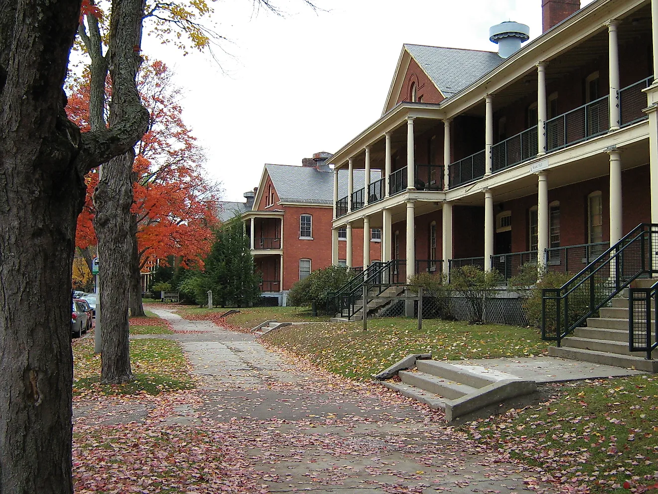
Coastal Region
The coast is the most populated region in the state, home to approximately 68% of all Californian residents. The coastal region consists of sandy beaches, wetlands, and plains originating from various major rivers. The climate is fairly moderate, although the northern coast is slightly cooler, foggier, and rainier. Due to these higher amounts of rain, Coastal Redwoods, California’s iconic conifer, flourish in this region. Sea lions, seals, otters, humpback whales, and blue whales are a few of this region’s notable species.
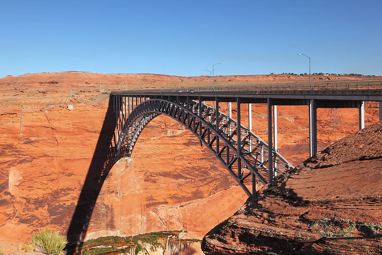
Desert Region
In Southeast California, lies the desert region, comprised of three deserts: The Great Basin, Colorado, and Mojave. The landscape features parallel mountain ranges, wide valleys, canyons, plateaus, and gorges scattered throughout. Naturally, this region is extremely hot and arid, receiving a mere four to ten inches of rain each year. Temperatures soar to extraordinary heights, often surpassing 120 ℉ (49 ℃), particularly in destinations such as Death Valley, renowned as the hottest spot on the planet. Despite the inhospitable climate, the Joshua Tree, Mojave Yucca, Prickly Pear Cactus, and Creosote Plant thrive in this region.
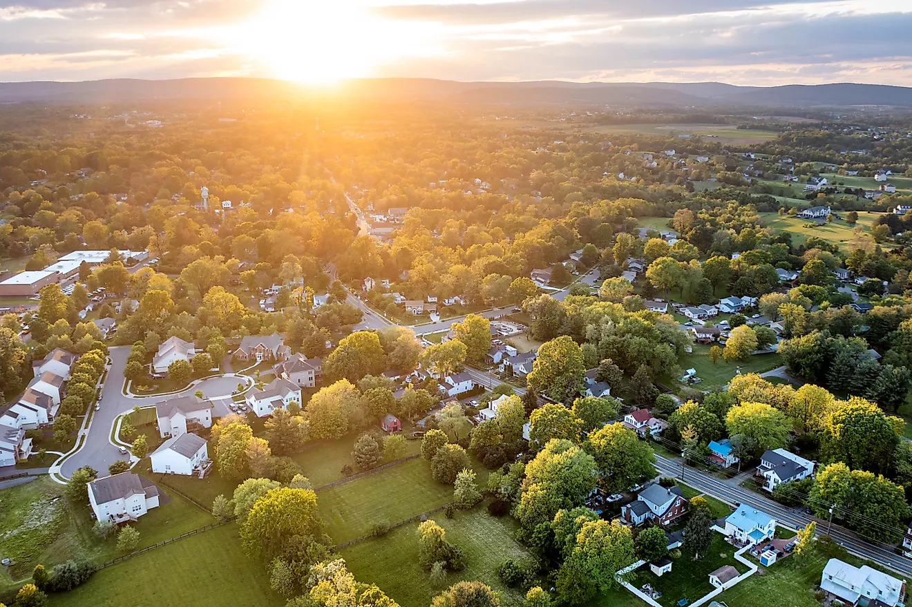
Central Valley Region
The Central Valley stretches over 400 miles, ranging from Bakersfield to Redding, with mountains bordering it on either side. The Sacramento and San Joaquin Rivers drain water from the low-lying areas, dumping it into the San Francisco Bay, which ultimately prevents the valley from developing swamp-like conditions. As a result, this land is extremely fertile and the climate mild, producing one-fourth of the country’s food. The central valley’s notable crops include tomatoes, cereals, citrus, tree fruits, nuts, and grapes.
Counties Map

The State of California is divided into 58 counties. In alphabetical order, these counties are: Alameda, Alpine, Amador, Butte, Calaveras, Colusa, Contra Costa, Del Norte, El Dorado, Fresno, Glenn, Humboldt, Imperial, Inyo, Kern, Kings, Lake, Lassen, Los Angeles, Madera, Marin, Mariposa, Mendocino, Merced, Modoc, Mono, Monterey, Napa, Nevada, Orange, Placer, Plumas, Riverside, Sacramento, San Benito, San Bernardino, San Diego, San Francisco, San Joaquin, San Luis Obispo, San Mateo, Santa Barbara, Santa Clara, Santa Cruz, Shasta, Sierra, Siskiyou, Solano, Sonoma, Stanislaus, Sutter, Tehama, Trinity, Tulare, Tuolumne, Ventura, Yolo, and Yuba.
With an area of 163,696 mi², California is the 3rd largest and the most populous state in the USA. Located in the north-central part of the state in the Sacramento Valley is Sacramento – the capital and the 6th largest city of California. It serves as the administrative, political, financial, educational, health-care, and tourism center of the state. It is also the cultural, and economic hub of the larger Sacramento Metropolitan Area. Situated in Southern California is Los Angeles – the largest and the most populous city in California. It is also the 2nd most populous city in the United States. The city of Los Angeles has been designated as a global city and is considered to be a leader in the technology, science, entertainment, and medicine industry. Los Angeles County is also the most populous county in the United States.
Where is California?

The State of California is located in the western (Pacific) region of the United States. California is bordered by the state of Oregon in the north, by Nevada and Arizona in the east, and by the Mexican state of Baja California in the south. It is also bounded by the Pacific Ocean in the west.
Regional Maps: Map of North America
Outline Map of California

The above blank map represents the State of California, located in the western (Pacific) region of the United States. The map can be downloaded, printed and used for geography education purposes like map-pointing and coloring activities.

The above outline map represents the State of California, located in the western (Pacific) region of the United States.
Key Facts
| Legal Name | State of California |
|---|---|
| ISO 3166 Code | US-CA |
| Capital City | Sacramento |
| Major Cities |
|
This page was last updated on May 16, 2024