How Many Lakes Does The United States Share With Canada?
The United States and Canada share at least 57 lakes and reservoirs along the border of the contiguous United States. This documented minimum combines the International Boundary Commission's count of 32 lakes between Lake Superior and Rainy River with 25 additional shared water bodies identified by government and intergovernmental sources. It includes four of the five Great Lakes, smaller boundary lakes, and reservoirs that extend into both countries.
The two countries share the longest international border in the world. According to the International Boundary Commission (IBC), it stretches 5,525 miles (8,891 km), including the Alaska boundary. Much of that boundary follows water, but shared lakes are especially concentrated along the Ontario-Minnesota border. The table below explains the 57-water-body tally, with each lake counted only once.
Shared Lakes And Reservoirs Along The Lower 48 Border
| Border section or region | Number counted | What the count includes |
|---|---|---|
| Between Lake Superior and Rainy River | 32 | The IBC's published regional count, including lakes such as Rainy, Namakan, Lac La Croix, and Basswood. It excludes Lake Superior and Lake of the Woods. |
| Shared Great Lakes and Lake St. Clair | 5 | Superior, Huron, Erie, Ontario, and St. Clair. |
| Lake of the Woods | 1 | Lake of the Woods, shared by Minnesota, Ontario, and Manitoba. |
| New York/Vermont and Quebec | 2 | Lake Champlain and Lake Memphremagog. |
| Maine and Quebec/New Brunswick | 7 | East Grand, North, Mud, Spednic, Glazier, and Beau lakes, plus Grand Falls Flowage. |
| Western contiguous U.S.-Canada border | 8 | Boundary Lake, Lake Metigoshe, Upper Waterton Lake, Cameron Lake, Crypt Lake, Lake Koocanusa, Osoyoos Lake, and Ross Lake. |
| St. Lawrence River | 2 | Lake St. Lawrence and Lake Saint Francis. |
| Documented Minimum | 57 | Includes natural lakes, named river lakes, and reservoirs. Ross Lake extends into Canada seasonally at higher reservoir levels. |
How The Lakes Are Counted
A shared lake qualifies for this tally when its waters extend into both countries. A lake whose watershed crosses the border does not qualify unless the lake itself also crosses it. Reservoirs are included, as are named lakes formed by wider sections of rivers. This allows Grand Falls Flowage and Lake St. Lawrence to be counted alongside natural lakes.
The largest subtotal comes directly from the IBC's description of the boundary. It identifies 32 lakes after Lake Superior and before Rainy River, which then leads to Lake of the Woods. Those two endpoint lakes are therefore counted separately. The remaining 25 water bodies appear by name in the table. The tally does not attempt a complete inventory of small or unnamed waters, or of lakes along the Alaska-Canada boundary.
The Great Lakes

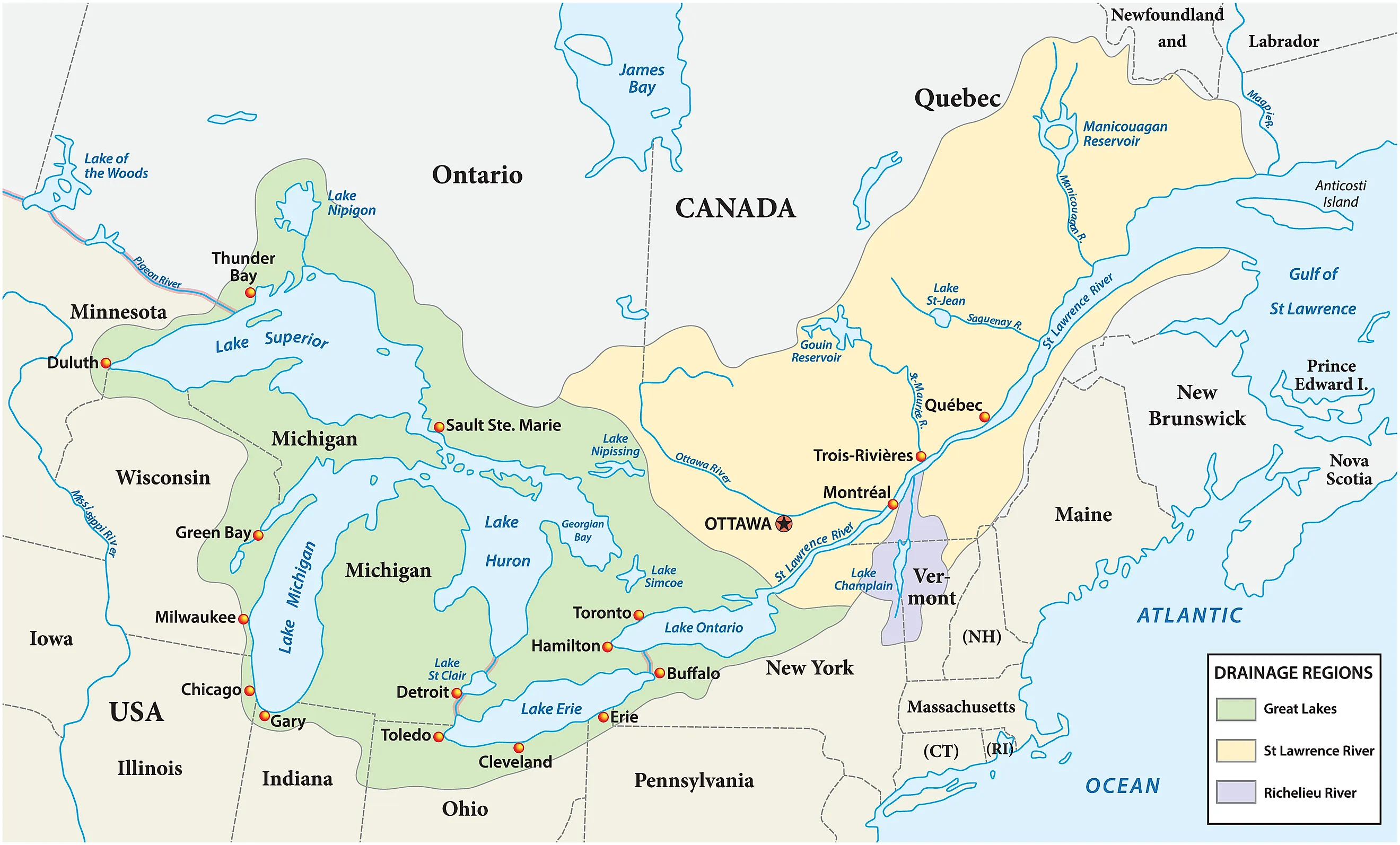
Four of the five Great Lakes are divided by the international boundary: Lake Superior, Lake Huron, Lake Erie, and Lake Ontario. Lake Michigan lies entirely within the United States. Together, the five form the world's largest group of freshwater lakes by surface area. Their connecting waterways also carry the border through the St. Marys River, St. Clair River, Detroit River, and Niagara River.
Six U.S. states have shores on the four shared Great Lakes. Lake Ontario borders New York and Ontario. Lake Erie borders Michigan, Ohio, Pennsylvania, New York, and Ontario, while Lake Huron lies between Michigan and Ontario. Lake Superior has shores in Minnesota, Wisconsin, Michigan, and Ontario. These shoreline relationships do not mean that every state has a direct international boundary with Canada.
Lake St. Clair adds a fifth shared lake to this part of the count. Although it is not one of the five Great Lakes, it belongs to their connected water system. The St. Clair Region Conservation Authority confirms that the international boundary divides it. Water enters through the St. Clair River and leaves through the Detroit River on its way to Lake Erie.
The Lake Chain Between Superior And Lake Of The Woods

Near Lake Superior's northwestern shore, the border enters the Pigeon River and continues through a long chain of lakes and connecting waterways. The IBC counts 32 lakes along the route before it reaches Rainy River. Basswood Lake, Lac La Croix, Namakan Lake, and Rainy Lake are among the larger shared waters in this section. The boundary also crosses portages and other short stretches of land, so it is not an uninterrupted water route.
Rainy River then carries the boundary to Lake of the Woods, which spans Minnesota, Ontario, and Manitoba. Counting that lake and Lake Superior alongside the IBC's 32 produces 34 lakes across this broader stretch. In the table, Superior appears with the Great Lakes, while Lake of the Woods has its own row.
The boundary's course through Lake of the Woods also creates Minnesota's Northwest Angle, the northernmost part of the contiguous United States. Its unusual position stems from the boundary described in the 1783 Treaty of Paris and the incomplete geographical knowledge available to its negotiators. Driving there from the rest of Minnesota requires passing through Canada; travel across the lake or by air provides other access.
Lake Champlain And Lake Memphremagog

Lake Champlain lies mainly between New York and Vermont, with its northern end extending into Quebec. It drains north through the Richelieu River into the St. Lawrence River. Its watershed covers approximately 8,234 square miles (21,326 square kilometers). According to the Lake Champlain Basin Program, about 56% of the basin is in Vermont, 37% in New York, and 7% in Quebec. Those percentages describe the drainage basin, not the lake's water surface.
Farther east, Lake Memphremagog crosses the Vermont-Quebec boundary, with most of its surface in Canada. The World Lake Database gives its surface area as approximately 39 square miles (102 square kilometers). The much larger figure of roughly 686 square miles refers to its watershed, rather than the lake itself.
Maine's Shared Lakes And Reservoir

Six named lakes in this tally lie along Maine's boundary with Canada. Maine's statutory definition of boundary waters explicitly identifies East Grand, North, Mud, Spednic, and Glazier lakes on the New Brunswick border. East Grand, North, Mud, and Spednic belong to the upper St. Croix River system. Glazier Lake lies farther north along the St. Francis River.
Beau Lake, also known as Le Beau Lac, supplies the sixth entry. A Maine fisheries survey places it along the Maine-Quebec boundary on the St. Francis River. Its waters connect downstream with Glazier Lake.
Including reservoirs raises the regional subtotal to seven. Grand Falls Flowage formed after construction of Grand Falls Dam in 1912. Maine's fisheries survey identifies it as shared U.S.-Canadian water, with boat access on both sides. Its inclusion follows the same rule used for the western reservoirs.
Eight Documented Lakes Along The Western Border

West of Lake of the Woods, the boundary largely follows the 49th parallel. Eight named lakes and reservoirs along this stretch are included in the tally. Boundary Lake crosses the Manitoba-North Dakota line, as recorded in Manitoba's geographical-name records. Nearby Lake Metigoshe also occupies both countries, although most of its surface lies in North Dakota.
In the Rocky Mountains, three lakes cross between Waterton Lakes National Park in Canada and Glacier National Park in Montana. Parks Canada identifies each one: Upper Waterton Lake, Cameron Lake, and Crypt Lake. The parks became the Waterton-Glacier International Peace Park in 1932.
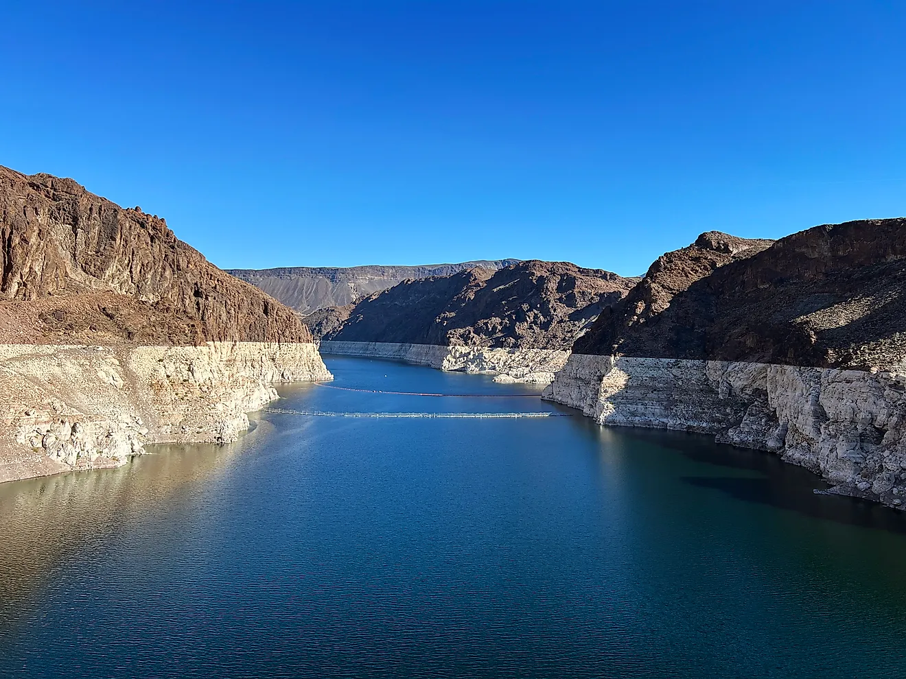
Lake Koocanusa contributes another large shared water body. Created by Libby Dam in Montana, the reservoir extends north into British Columbia. The U.S. Army Corps of Engineers describes it as approximately 90 miles long, with 42 miles in Canada. Farther west, Osoyoos Lake straddles the boundary between Osoyoos, British Columbia, and Oroville, Washington.
Ross Lake, another reservoir, completes this eight-water-body subtotal. Its inclusion requires a seasonal qualification. BC Parks explains that the reservoir reaches its Canadian portion at higher summer levels. During lower-water periods, the lake retreats south of the international boundary. The count therefore includes Ross Lake at its full operating extent.
Two More Lakes On The St. Lawrence River

The St. Lawrence River contains two additional named lakes shared by the countries. Lake St. Lawrence is the reservoir upstream of the Moses-Saunders Power Dam near Cornwall, Ontario, and Massena, New York. According to the International Joint Commission, flooding began in 1958, creating an artificial widening of the river that extends approximately 29 miles (46 kilometers) upstream.
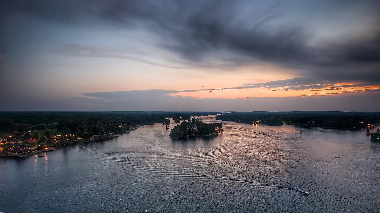
Downstream, Lake Saint Francis, also called Lac Saint-François, occupies a broader reach of the river adjoining Ontario, Quebec, and New York. Canada's Lake Ontario Nearshore Assessment identifies its Canadian portion and cross-border setting. Both lakes belong in a count that includes reservoirs and named river lakes.
Managing Water Across The Border

Sharing a lake also means coordinating decisions about its water. At Osoyoos Lake, an international board oversees compliance with orders governing Zosel Dam, which influences lake levels on both sides. At Lake St. Lawrence, changes in releases through the Moses-Saunders Power Dam can quickly affect the upstream reservoir.
Water quality creates another shared responsibility. On Lake of the Woods, excess phosphorus contributes to harmful algae blooms, prompting work on nutrient inputs across the basin. A political boundary divides jurisdiction over the lake, but water and pollutants continue moving through the connected watershed.