The US Dams With Unexpected New Uses
Many American dams have outlived the reason they were built. A city finds a new water supply or a shipping channel gets deepened, and the concrete stays where it was. Removing a dam is slow and expensive, so the structure usually gets a second job. Lake Roland, where kayakers launch just north of Baltimore, exists because the city stopped drinking from it in 1915 and kept the dam anyway. On the Mississippi, a dam that quit making electricity decades ago now does a job nobody needed when it was built. The five dams below show how that handoff works, and what happens when the lake behind one of them starts to disappear.
Coon Rapids Dam, Minnesota

A power plant once occupied part of the Mississippi crossing between Brooklyn Park and Coon Rapids. The dam began generating electricity in 1914, but production ended in 1966. Three years later, the power company transferred the dam and surrounding property to the park district. A walkway eventually connected the public spaces on both banks.
Then invasive carp gave Minnesota another reason to maintain the barrier. Fish trying to move upstream encounter the dam between the Twin Cities and the river farther north. During a reconstruction completed in 2015, crews installed new gates and built a stilling basin below the dam. The work improved its effectiveness as a fish barrier. The Minnesota Department of Natural Resources now sets the pool's operating levels and manages that protective function.
The walkway links Coon Rapids Dam Regional Park with Mississippi Gateway Regional Park in Brooklyn Park. An accessible fishing platform stands near the dam on the Brooklyn Park bank. A proposed hydropower installation would bring electricity generation back to the site.
Englebright Dam, California

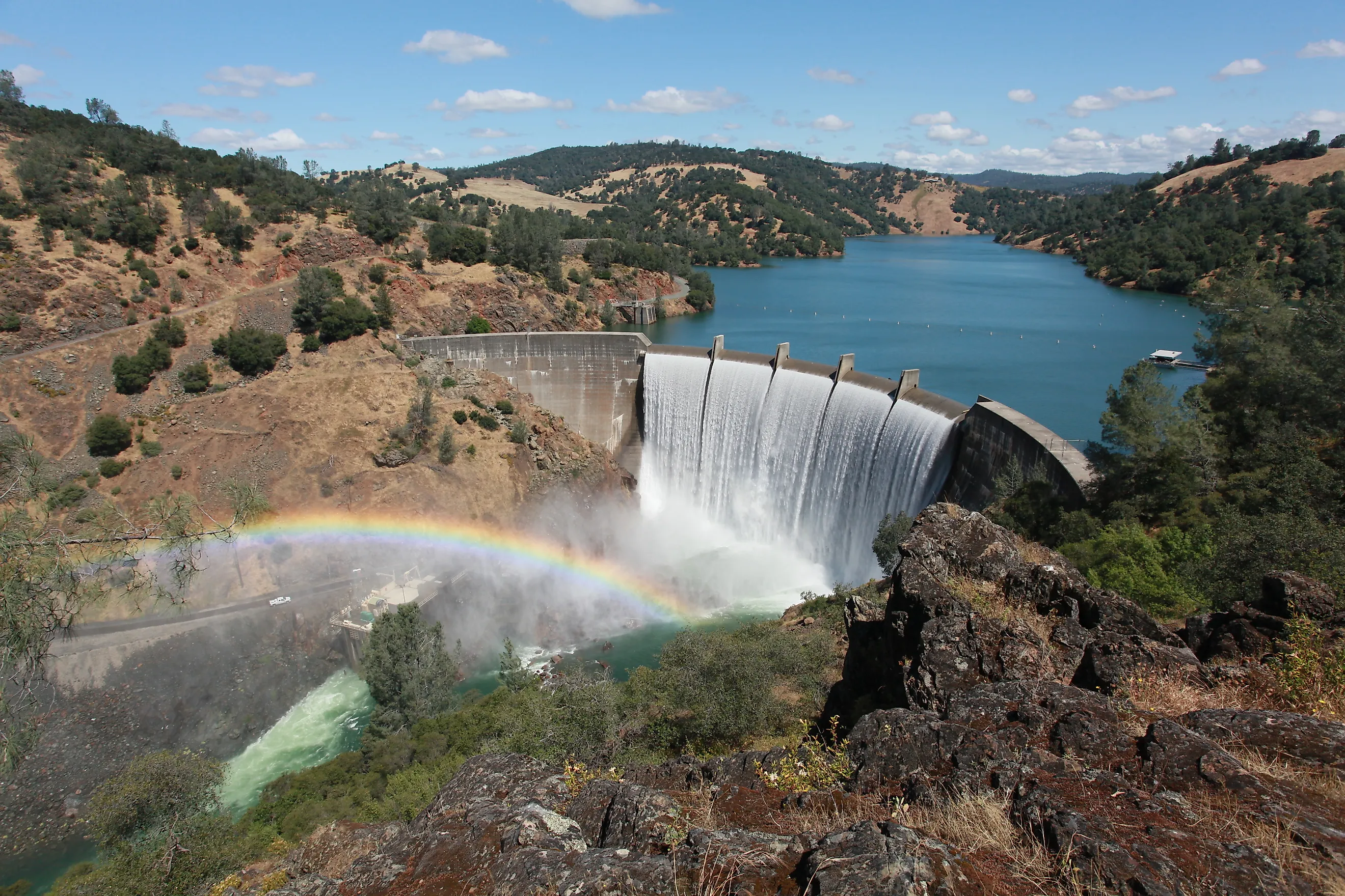
Englebright's concrete arch was completed in 1941 across the Narrows, a steep gorge on California's Yuba River. The aim was to catch debris from an expected revival of hydraulic gold mining, which blasted apart gold-bearing ground with water. That revival never happened upstream, although sediment continued washing out of old mine sites.
By 1942, the Narrows 1 power plant was operating below the dam. Water held in the reservoir passes through an intake and tunnel to reach its generating equipment. The old debris barrier supplies the height difference needed to produce electricity, while the Army Corps of Engineers retains responsibility for containing sediment.
Boaters use the backed-up river above it. Englebright Lake extends into the canyon, with campsites scattered along 24 miles of shoreline. During camping season, every campsite is reached by boat. Picnic tables and fire grills sit beside level spaces for tents.
Winnibigoshish Lake Dam, Minnesota

Walleye spawning helps determine how much water stays behind Winnibigoshish Lake Dam. Its operating plan includes a late-April water-level target to promote spawning, followed by a goal of stable summer levels when possible. That seasonal attention to fish and recreation developed after the dam's original navigation assignment lost much of its importance.
When the first timber dam opened in 1884, the Army Corps of Engineers stored water here for boats hundreds of miles downstream. Releases during dry periods helped deepen the Mississippi for navigation. A concrete replacement followed in 1899 and 1900. Demand for those releases fell sharply after the 1930s, when locks and dams maintained a deeper shipping channel downstream.
Near Deer River, the campground stands beside the Mississippi at the lake's outlet. Anglers staying beside the river have a fish-cleaning station close to the dam.
Lake Roland Dam, Maryland

A pedestrian bridge beside the dam connects Lakeside Drive with the park's main peninsula. The stone valve house remains above the rocky gorge through which Jones Falls continues toward Baltimore.
The city began drawing water from this reservoir in 1861. Silting troubled the lake, and its drinking-water service ended when Baltimore changed its supply system in 1915. The dam remained in place, preserving open water that now forms part of a 503-acre nature park. Canoes and kayaks launch beside the Lakeside Drive parking lot; anglers also use a refurbished fishing pier. Baltimore County manages the park under a long-term lease from the city. A raised boardwalk connects it to the Falls Road light rail station, allowing visitors to reach the former water-supply site by train.
Lake Accotink Dam, Virginia
Keeping a former supply reservoir open for recreation has become a harder task at Lake Accotink. Sediment washing into this Fairfax County lake has repeatedly reduced the space available for water. Dredging in 1985 and again in 2008 removed accumulated material, but more continued arriving from the developed watershed.
The dam now holding the lake dates to 1943, when the Army rebuilt an earlier barrier to provide a potential water supply for Fort Belvoir. The first dam had been dismantled over concerns about a railroad trestle. Fairfax County began leasing the property in 1960 and bought the leased land five years later. Families in the growing Springfield and Annandale neighborhoods gained a lake for fishing, with wooded trails around it.
Englebright's dam continues to trap sediment washed down the Yuba River, carrying out the job its original builders intended. At Accotink, keeping a recreational lake requires finding somewhere for the accumulating material to go. As of August 2026, the county was examining a smaller lake of 20 to 40 acres, with depths of 4 to 8 feet. The dam also needs work: an assessment called for substantially greater spillway capacity to pass floodwater safely, alongside repairs to localized damage. Plans for the smaller lake include continued dredging. Some excavated material could remain within the park, where planners are also considering new wetland and grassland areas.