Maps of Ohio

Ohio, situated in the Midwestern United States, shares its borders with Pennsylvania to the east, Michigan to the northwest, Indiana to the west, Kentucky to the south, and West Virginia to the southeast. Ohio's northern border runs along Lake Erie. The state encompasses a total area of 44,825 mi2 (116,096 km2).
Ohio, from northwest to southeast, is divisible into two primary geographic regions:
The Central Lowland is the geographical region that covers most of the northern part of Ohio. Within this region, the Huron-Erie Lake Plains stretch along the Lake Erie shoreline, providing Ohio with approximately 312 miles (502 kilometers) of coastline, which is the state's only direct access to major bodies of water. The Till Plains characterize the interior of the Central Lowland, featuring gently rolling terrain created by glacial till deposits. This region is known for its fertile soils.
One notable area within this region is the Great Black Swamp, a former extensive wetland located in northwest Ohio and northeast Indiana. This swamp, a remnant of the Wisconsin glaciation, covered about 1,500 mi2 (4,000 km2) of land. It was characterized by marshes, grasslands, and deciduous swamp forests with species like ash, elm, and sycamore. In higher, drier areas, species such as beech, maple, and oak were predominant. The Great Black Swamp played a significant role in the state's history and ecology before its drainage in the 19th century for agricultural development. This transformation, however, has led to ecological challenges, including agricultural runoff contributing to toxic algal blooms in Lake Erie.
The Appalachian Plateau covers the eastern and southeastern parts of Ohio. This region is divided into two distinct areas: the Glaciated Allegheny Plateaus and the Unglaciated Allegheny Plateaus. The Glaciated Allegheny Plateaus are marked by their rugged terrain, with the effects of glacial activity evident in the landscape's features. In contrast, the Unglaciated Allegheny Plateaus do not bear the marks of glaciation and thus have a different topography, dominated by sharper ridges and valleys. Within this region stands the highest point in Ohio, Campbell Hill, at 1,549 feet (472 meters) above sea level, offering a stark contrast to the otherwise low-lying state.
Last is the Interior Low Plateau (The Bluegrass Region), though not prominent in Ohio, is a small subsection of the Appalachian Plateaus that extends into the state. This Bluegrass Region is also known as the Inner Bluegrass due to its well-draining soils, which are very suitable for growing grass and trees. This region is characterized by rolling hills and meadows dotted with large farms and small towns and villages.
Major Bodies of Water in Ohio include Lake Erie, one of the Great Lakes, which forms Ohio’s northern boundary and is pivotal for the state's climate and transportation. Additionally, the Ohio River defines much of the state's southern boundary, providing vital waterways for commerce and recreation. Other significant rivers in Ohio are the Cuyahoga River in the northeast, the Great Miami River in the southwest, and the Scioto River which flows through the central part of the state.
Counties Map

The State of Ohio is divided into 88 counties. In alphabetical order, these counties are: Adams, Allen, Ashland, Ashtabula, Athens, Auglaize, Belmont, Brown, Butler, Carroll, Champaign, Clark, Clermont, Clinton, Columbiana, Coshocton, Crawford, Cuyahoga, Darke, Defiance, Delaware, Erie, Fairfield, Fayette, Franklin, Fulton, Gallia, Geauga, Greene, Guernsey, Hamilton, Hancock, Hardin, Harrison, Henry, Highland, Hocking, Holmes, Huron, Jackson, Jefferson, Knox, Lake, Lawrence, Licking, Logan, Lorain, Lucas, Madison, Mahoning, Marion, Medina, Meigs, Mercer, Miami, Monroe, Montgomery, Morgan, Morrow, Muskingum, Noble, Ottawa, Paulding, Perry, Pickaway, Pike, Portage, Preble, Putnam, Richland, Ross, Sandusky, Scioto, Seneca, Shelby, Stark, Summit, Trumbull, Tuscarawas, Union, Van Wert, Vinton, Warren, Washington, Wayne, Williams, Wood, and Wyandot.
With an area of 116,096 sq. km, Ohio is the 34th largest and the 7th most populous state in the USA. Located in the central part of the state is Columbus – the capital, the largest and the most populous city in Ohio. It is the 14th biggest city in the United States and the 2nd biggest city in the Mid-West region. It is also the nation’s 3rd most populated state capital. The capital city also boasts of a diverse and robust economy based on education, health care, insurance, food, medical research, defense, fashion, aviation, and technology.
Where is Ohio?
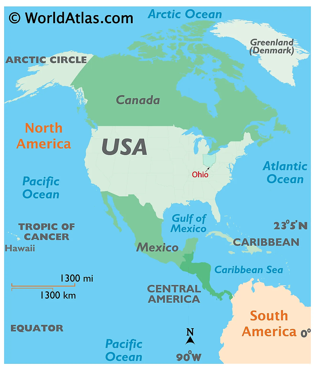
The State of Ohio is located on the northeastern corner of the Midwest region of the United States. Due to its strategic location, Ohio is also known as the "Gateway to the Midwest". Ohio is bordered by the state of Pennsylvania in the east; by the Ohio River and the states of West Virginia in the southeast and Kentucky in the southwest; by Indiana in the west, and by Michigan in the northwest. It is also bounded by Lake Erie in the north.
Regional Maps: Map of North America
Outline Map of Ohio
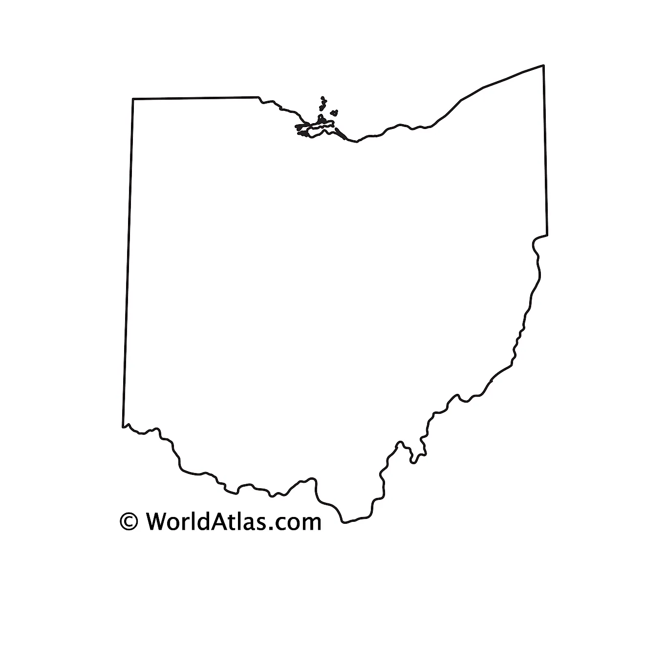
The above blank map represents the State of Ohio, located on the northeastern corner of the Midwest region of United States. The above map can be downloaded, printed and used for geography education purposes like map-pointing and coloring activities.
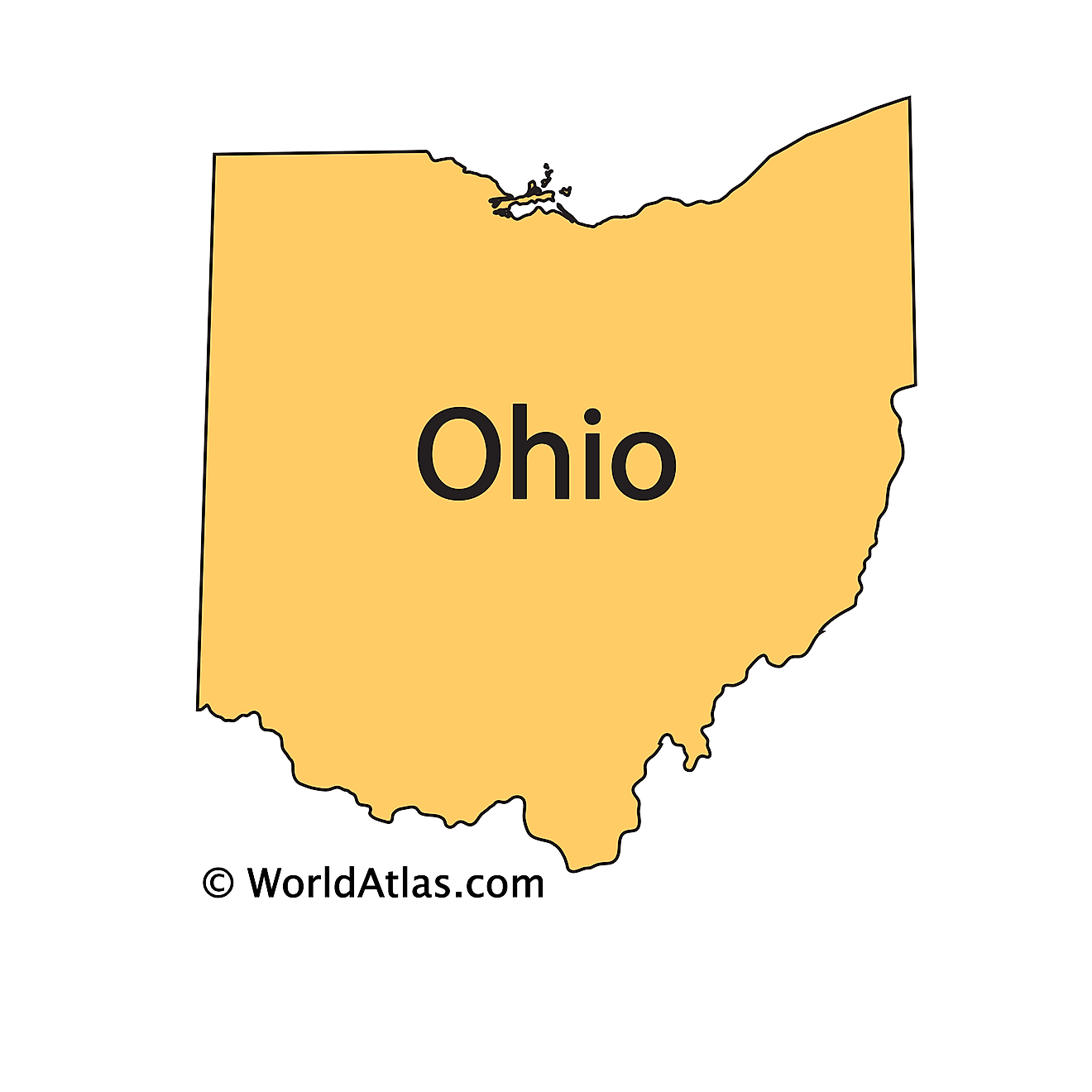
The above outline map represents the State of Ohio, located on the northeastern corner of the Midwest region of United States. Ohio has been nicknamed as the "Buckeye State", for the prevalence of Ohio Buckeye trees (Aesculus glabra) within the state's borders.
Key Facts
| Legal Name | State of Ohio |
|---|---|
| ISO 3166 Code | US-OH |
| Capital City | Columbus |
| Major Cities |
|
This page was last updated on January 22, 2024
