Maps of Maine

Maine, the northeasternmost New England state in the United States, is bordered by the Canadian provinces of Quebec to the northwest and New Brunswick to the northeast, the Atlantic Ocean to the southeast, and the state of New Hampshire to the southwest. It covers a total area of 35,385 mi2 (91,646 km2). Maine's coastline stretches for about 3,478 miles (5,597 kilometers) due to a high frequency of inlets, bays, and estuaries.
Maine, counterclockwise from north to northeast, is divisible into eight primary geographic regions:
Aroostook County: This northernmost region of Maine is characterized by its rolling hills and fertile valleys. A significant feature is the Aroostook River, which meanders through the area before flowing into the Saint John River in New Brunswick, Canada. The region is also home to Mars Hill, standing at 1,748 feet (533 meters), which is the highest point in the county.
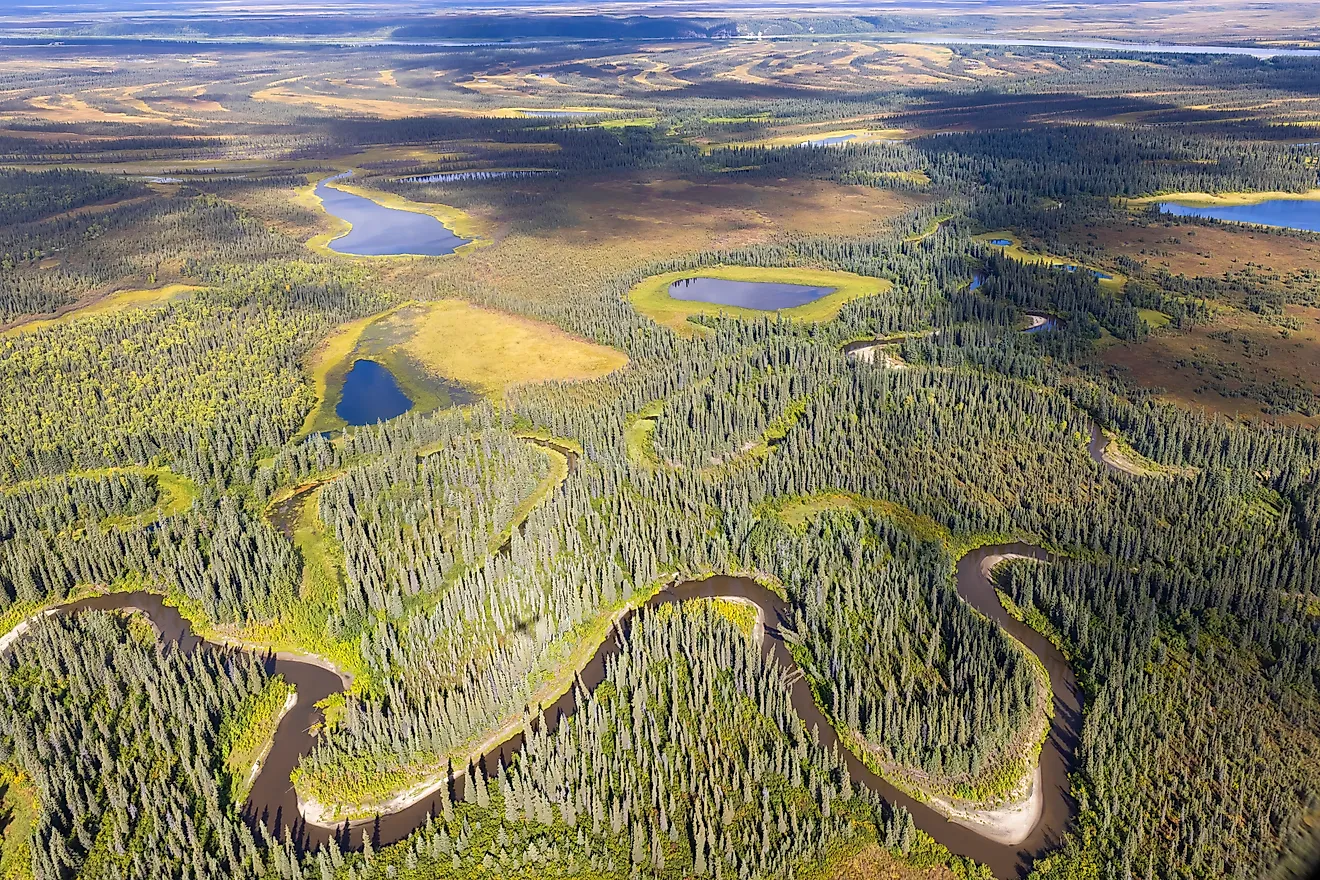
The Maine Highlands: This central region includes the vast, rugged terrain of the Appalachian Mountains, extending into the interior of the state. Baxter State Park, located here, is home to Mount Katahdin, the highest point in Maine at 5,269 feet (1,606 meters). This region also encompasses the Penobscot and Piscataquis rivers, which are prominent for their role in the state's geography.
Kennebec & Moose River Valley: This area is distinguished by the Kennebec and Moose rivers, which provide vital waterways for the region. The Kennebec River flows south to the Atlantic Ocean, passing through several significant population centers. This valley is also noted for its rolling hills that gradually descend from the highlands.
Maine Lakes & Mountains: Featuring a terrain filled with numerous lakes and mountains, this region includes Sebago Lake, the deepest and second-largest lake in Maine. The area is punctuated by the White Mountains to the west and the rolling foothills that lead to the central highlands.
The Maine Beaches: Situated along the state's southern edge, this coastal region has a low-lying, sandy coastline that stretches for miles. The beaches here are interrupted occasionally by rocky outcrops and tidal inlets. The Saco River flows into the Atlantic Ocean in this region, providing a mix of freshwater and tidal marsh environments.
Counties Map

The State of Maine is divided into 16 counties. In alphabetical order, these counties are: Androscoggin, Aroostook, Cumberland, Franklin, Hancock, Kennebec, Knox, Lincoln, Oxford, Penobscot, Piscataquis, Sagadahoc, Somerset, Waldo, Washington, York.
With an area of 91,646 sq. km, Maine is the 12th smallest and the 9th least populous state in the USA. Located in Kennebec County is Augusta - the capital city of Maine. It is also the third least populated state capital in the US. Situated in Cumberland County is Portland - the largest and the most populous city in Maine. It also serves as an important economic center of the state and the Port of Portland is the New England region’s biggest tonnage seaport.
Where is Maine?

The State of Maine is located in the north-eastern (New England) region of the United States. Maine is bordered by the state of New Hampshire in the west; by the Atlantic Ocean in the southeast and by the Canadian provinces of New Brunswick in the northeast and by Quebec in the northwest.
Regional Maps: Map of North America
Outline Map of Maine

The above blank map represents the State of Maine, located in the north-eastern (New England) region of the United States. The above map can be downloaded, printed and used for geography education purposes like map-pointing and coloring activities.

The above outline map represents the State of Maine, located in the north-eastern (New England) region of the United States. It is colloquially known as the "Pine Tree State", as about 90% of the state's total land area is covered by forests.
Key Facts
| Legal Name | State of Maine |
|---|---|
| ISO 3166 Code | US-ME |
| Capital City | Augusta |
This page was last updated on January 18, 2024