Maps of New Brunswick

New Brunswick, situated in eastern Canada, occupies a total area of 28,150 square miles. It shares its borders with the province of Quebec to the north, the state of Maine in the United States to the west, and the Canadian provinces of Prince Edward Island and Nova Scotia to the east and south, respectively.
The topography of New Brunswick consists mainly of rolling hills, with the Appalachian Mountains dominating the landscape. These mountains extend from the southeastern United States to the Gaspe Peninsula in Quebec, cutting through the western and northern portions of New Brunswick. The highest peak in the province, Mount Carleton, rises to 2690 feet above sea level in the northwestern region.
New Brunswick's eastern and southern regions boast extensive coastal plains, which include the Acadian Peninsula, Chaleur Bay, and the Northumberland Strait. The Bay of Fundy, renowned for its high tides and unique ecosystems, defines the province's southern coast. The tides create dynamic environments like Hopewell Rocks and the Reversing Falls Rapids in Saint John.
The province's climate varies due to its diverse geography. New Brunswick experiences a humid continental climate characterized by warm summers, cold winters, and ample precipitation. Coastal regions often have milder winters and cooler summers compared to inland areas.
Forests, predominantly mixed-wood and softwood forests, cover approximately 85% of New Brunswick's landmass. The Acadian forest, a unique blend of northern hardwoods and boreal species, thrives in the province, providing habitats for various flora and fauna.New Brunswick hosts a vast network of rivers and lakes, with the Saint John River being the most prominent. This river traverses nearly 673 kilometers from its origin in Maine, flowing southward and eastward through the province before emptying into the Bay of Fundy. Other significant rivers include the Miramichi, the Restigouche, and the Petitcodiac. Lakes such as Grand Lake, Oromocto Lake, and the Chiputneticook Lakes contribute to the abundant freshwater resources of the province.
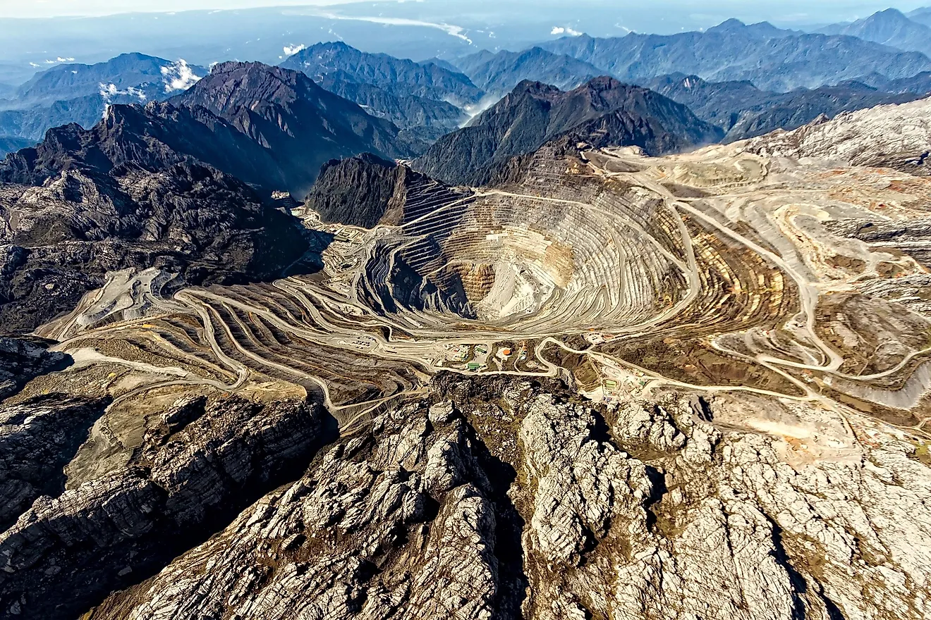
The province's geological history includes rich deposits of base metals, potash, and natural gas. The mining industry, therefore, plays a significant role in New Brunswick's economy.
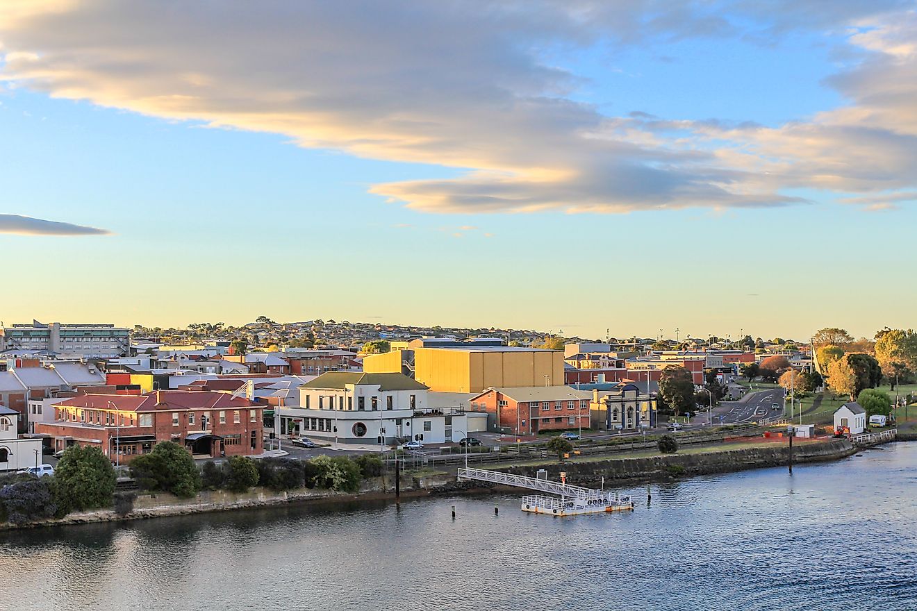
New Brunswick's geographical location provides the province easy access to North American and European markets through seaports, airports, and railways. The city of Saint John, a major industrial center, operates the most extensive port facilities in the region. In addition, the province's transportation infrastructure connects seamlessly with neighboring provinces and states, enhancing economic opportunities and fostering cultural exchange.
Provinces Map

The Canadian Province of New Brunswick is administratively divided into a total of 236 Local Service Districts (LSD), 104 municipalities, and 12 Regional Service Commissions. Of these 104 municipalities in New Brunswick, there are 8 cities, 61 villages, 26 towns, 8 rural communities, and 1 regional municipality.
Historically, New Brunswick was divided into counties and parishes. However, these administrative divisions were abolished in 1966. Today, they continue to be used by Statistics Canada as an organizational unit and also serve as a sense of identity for many residents of the province.
With an area of 72,908 sq. km, New Brunswick is the 3rd smallest and the 8th most populous Canadian province. Located along the Saint John River in the west-central part of the province is Fredericton – the provincial capital and the 3rd largest city of New Brunswick. It serves as the administrative, cultural, educational, and commercial center of the province of New Brunswick. Situated in the valley of the Petitcodiac River, at the geographic center of Canada’s Maritime provinces is Moncton – the largest and the most populous city of New Brunswick. It serves as a major transportation hub and has been nicknamed “Hub City”.
Where is New Brunswick?

The Province of New Brunswick is located in the Canadian Maritimes region, in the eastern part of Canada, in the continent of North America. It is bordered by the Canadian provinces of Nova Scotia in the east, by Quebec in the north; and by the US State of Maine in the west. The province is also bounded by the Bay of Fundy in the south, the Gulf of Saint Lawrence, and the Northumberland Strait in the east. The southeastern edge of the New Brunswick province is connected by the Chignecto Isthmus to the province of Nova Scotia.
Regional Maps: Map of North America
Outline Map of New Brunswick

The above blank map represents the Province of New Brunswick, located in the Canadian Maritimes region, in the eastern part of Canada. The above map can be downloaded, printed, and used for geography education purposes like map-pointing and coloring activities.

The above outline map represents the Province of New Brunswick, located in the Canadian Maritimes region, in the eastern part of Canada.
Key Facts
| Legal Name | Province of New Brunswick |
|---|---|
| ISO 3166 Code | CA-nbz |
| Capital City | Fredericton |
This page was last updated on March 21, 2023