The US Dams Where Water Travels Through A Mountain To Get Out
At Watauga Dam in Tennessee, water used for power generation passes through Iron Mountain before reaching turbines farther down the valley. The mountain itself contains part of the plumbing.
Across the United States, dams use similar tunnels to send water beneath ridges, sometimes delivering it to an entirely different river system. Colorado's Dillon Reservoir supplies Denver through a tunnel under the Continental Divide. In the southern Appalachians, underground routes bypass miles of river where people now raft and fish. These passages carry water used for electricity or public supply, alongside separate releases into the original riverbeds. At Apalachia, the dam is in North Carolina, and the powerhouse is across the state line in Tennessee.
Watauga Dam, Tennessee

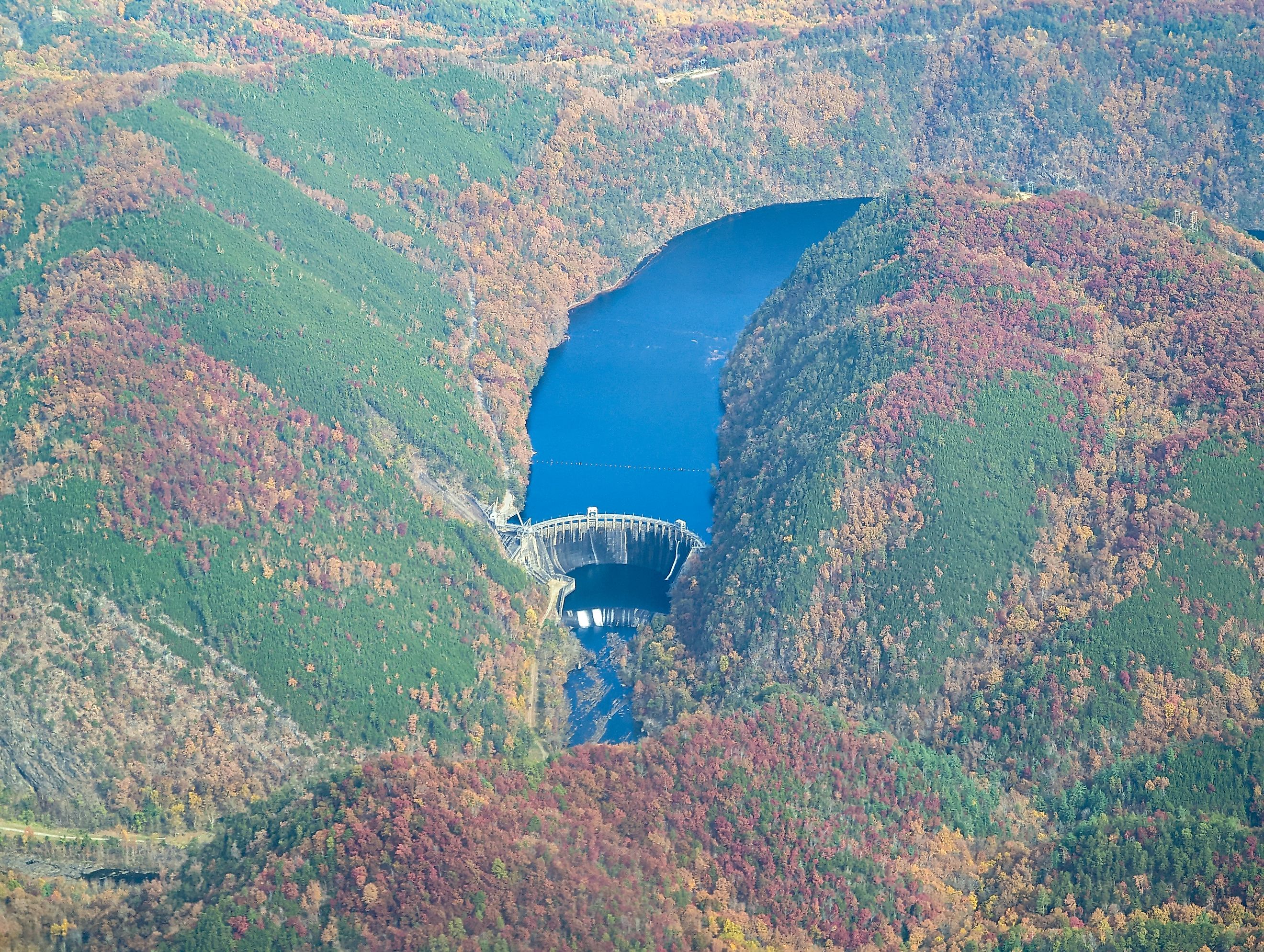
Iron Mountain rises beside a gorge where rocky bluffs reach more than 700 feet above the Watauga River. Inside it, an 18-foot-wide passage carries reservoir water about 3,700 feet toward the powerhouse. Near the turbines, the passage narrows and divides into two pipes, each controlled by a large valve. Water gains pressure as it descends, supplying the force that turns the generating equipment.
The Appalachian Trail crosses the top of Watauga Dam. Hikers can reach it by a connecting path from TVA's Overlook Trail. TVA crews inspect the passage after it has been drained, using drones to examine its interior. During the 2026 refurbishment, workers were replacing the two 11-foot butterfly valves that control water approaching the generating units.
Calderwood Dam, Tennessee

The Little Tennessee River makes a tight horseshoe bend at Calderwood. The dam stands at one end, with its powerhouse roughly a mile downstream around the bend. A tunnel cuts through the rock between them, giving water a shortcut across the mountainous peninsula. Beyond the tunnel, pressure pipes descend through the rock toward a valve house above the generators. Placing the powerhouse farther downriver adds about 32 feet to the available drop, extracting more energy from the same water. The building occupies a narrow strip between the river and a steep cliff, where falling rocks required another engineering precaution: a V-shaped concrete protective wall. A separate flow remains in the bypassed river bend to help limit harmful water-temperature changes for aquatic life. The dam and its underground route have been operating since 1930.
Santeetlah Dam, North Carolina

During normal generation at Santeetlah, diverted water leaves the Cheoah River valley and emerges at a powerhouse on the Little Tennessee River. Between those points, it follows about five miles of connected pipes and tunnels, with underground sections excavated through rock.
This arrangement bypasses roughly nine miles of the Cheoah below the dam. Water released directly into that riverbed follows a different course, joining the Little Tennessee farther downstream. Required minimum releases help sustain the bypassed river's habitat, and larger scheduled releases provide whitewater boating.
A maintenance shutdown in fall 2026 temporarily changed that split. Brookfield announced that water normally sent to the powerhouse would enter the Cheoah directly during work scheduled through approximately mid-November. Brookfield expected relatively steady releases, with adjustments for weather and incoming flow.
Apalachia Dam, North Carolina

Water diverted at Apalachia crosses a state line before reaching the turbines. The dam is in western North Carolina, on the Hiwassee River, while the powerhouse stands downstream in Tennessee. An 8.3-mile system of pipe and tunnel connects the two, cutting through the mountains between the reservoir and the generating station near Reliance.
TVA built the project during World War II, when electricity demand included the enormous requirements of aluminum production. The powerhouse site was remote enough that TVA supplied homes for operating staff. Wartime gasoline and tire rationing made long daily commutes impractical. Today, rafting and fishing take place below the powerhouse, where the diverted water returns to the Hiwassee. Upstream, Apalachia Reservoir has little private shoreline development beside the Nantahala National Forest.
Ocoee Dam No. 3, Tennessee

The whitewater course used for the 1996 Atlanta Olympics lies below Ocoee Dam No. 3 in southeastern Tennessee. On selected recreation days, TVA sends water down the river to supply those rapids. During power generation, water takes an underground route through rock on the river's western side.
The Ocoee has cut a steep, winding gorge through hard mountain rock. The tunnel carries water toward a powerhouse more than two miles downstream, allowing the generating station to use a greater drop than it could at the dam. Built during World War II, the project was designed to help meet wartime electricity demand. The dam itself stands 110 feet high.
Dillon Dam, Colorado

Beneath Dillon Reservoir, an intake leads into the 23-mile Roberts Tunnel. Water travels under the Continental Divide and emerges near Grant, entering the North Fork of the South Platte River on its way toward Denver's water-supply system. Snowmelt collected on the Colorado River side of the Rockies can therefore reach homes east of the mountains.
The crossing works by gravity. Over its underground journey, the water drops about 180 feet, enough for a hydroelectric plant at the eastern end to generate electricity as well. Along the route, mountain rock rises more than 4,000 feet above parts of the passage.
Dillon also releases water through outlets into the Blue River below the dam. The Blue continues north through Silverthorne. Operators also manage reservoir levels for boating while retaining water for Denver's supply.
Lewiston Dam, California

California's Trinity River naturally belongs to the Klamath River system. At Lewiston Dam, some of its water takes an eastward route through the Trinity Mountains instead. The 10.7-mile Clear Creek Tunnel carries it to Judge Francis Carr Powerhouse, where it generates electricity before entering Whiskeytown Lake in the Sacramento River basin. Lewiston sits downstream of the much larger Trinity Dam and regulates both this diversion and releases into the Trinity River. Below Lewiston, the Trinity River Hatchery compensates for spawning habitat made inaccessible by the dams. Restoration work also addresses changes to the river and its fisheries caused by construction and water diversion. Water kept in the Trinity continues toward the Klamath; water sent through the mountain can proceed through the Central Valley Project's Sacramento-side system.
At Dillon and on the Ocoee, operating a tunnel involves deciding which route the water takes and when. Dillon's underground route supplies the South Platte basin while separate outlets maintain a connection to the Blue River. On the Ocoee, the tunnel and the whitewater channel eventually lead water back into the same river, with the powerhouse several miles below the dam. A rafting release sends water through the Olympic rapids; a transfer beneath the Continental Divide carries it out of its original watershed. Beyond the outlet near Grant, transferred water follows the North Fork toward the main South Platte and Strontia Springs Reservoir. There, pipes carry water onward to Denver Water's treatment plants.