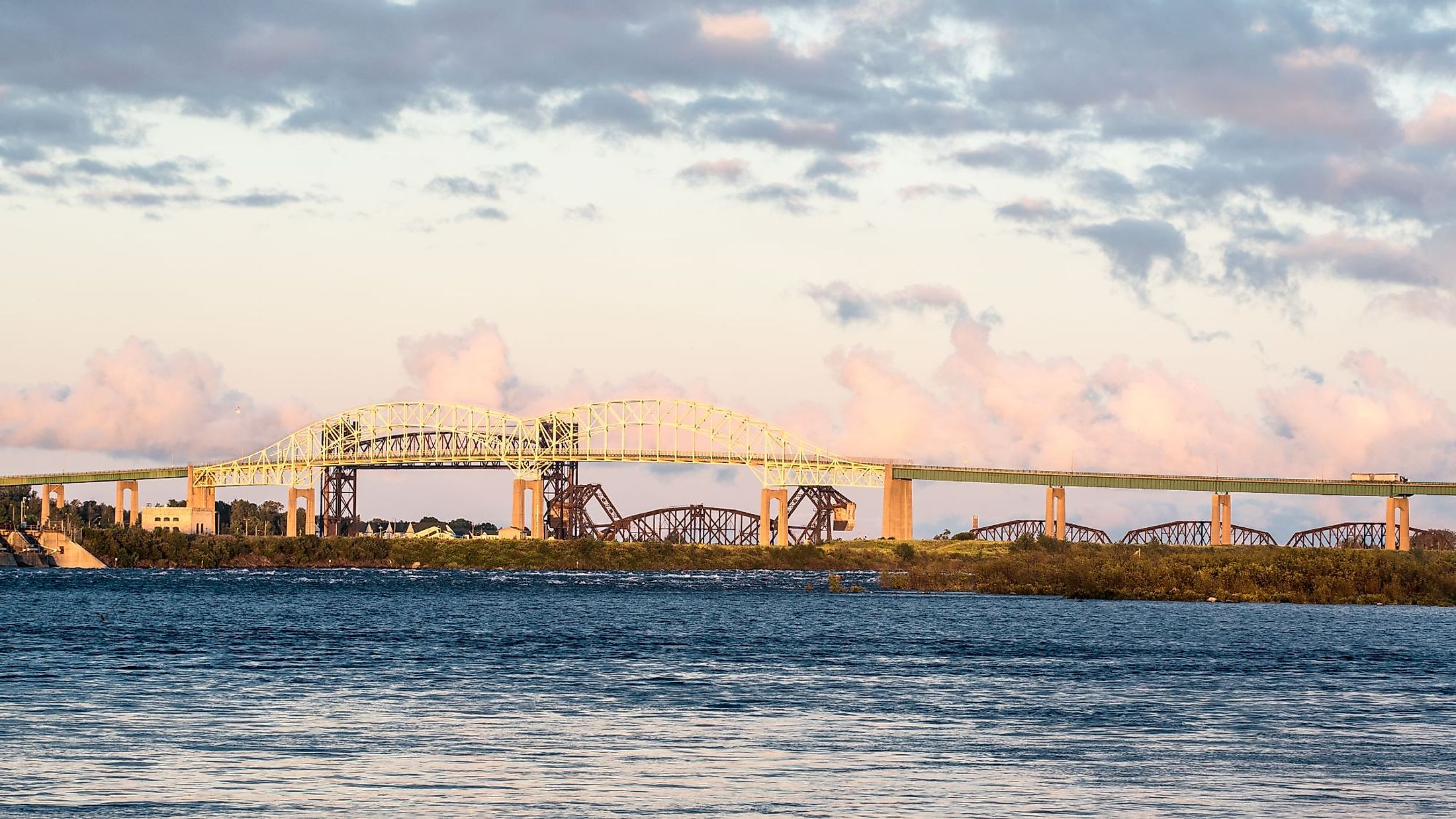
St. Marys River, Michigan–Ontario
The St. Marys River is a 119.9 km long river that begins at the end of Whitefish Bay and connects Lake Superior and Lake Huron. The river forms a portion of the boundary between Michigan, United States, and Ontario, Canada. The 4.5 km long Sault Ste. Marie International Bridge spans across the St. Marys River and connects the twin communities of Sault Ste. Marie of Michigan and Sault Ste. Marie of Ontario. Strong tourism-based economies built on recreational activities like sport fishing on the St. Marys River are present in both the Canadian and Michigan areas.
Geography Of St. Marys River

The upper reach of the St. Marys River has a fall of 7.0 m and begins at the end of Whitefish Bay on Lake Superior's eastern tip before flowing for 119.9 km in a southeasterly direction into Lake Huron. The distance between the lakes drops on average by 22 feet. At Brush Point, the narrowest point above the rapids, the width ranges from 25,000 feet at the river's mouth to around 2,000 feet. Close to the Sault Ste. Marie city of Ontario, the river drops more than 6m in 1.6 km through the St. Marys Rapids. The lower river travels about 45 miles from the base of the St. Marys Rapids to the Point Detour on Lake Huron.
The river splits into two channels about two and a half miles below the rapids, with one channel running through the northern end and the other to the west of Sugar Island. The northerly channel's flow continues through Lake George before entering Lake Huron's North Channel to the north of St. Joseph Island. The river discharges an average of 2,135 cubic meters of water per second. The St. Marys River's American tributaries include the Charlotte River, Gogomain River, Little Munuscong River, Munuscong River, and Waiska River. The Canadian tributaries of the river include the Big Carp River, Bar River, Desbarats River, Fort Creek, Garden River, Two Three River, Lower Echo River, Little Carp River, and Root River. There are a few islands in St. Marys River, including Lime Island, Whitefish Island, Sugar Island, and Neebish Island.
Climate Of St. Marys River

There are three distinct stages of ice conditions in the St. Marys River. Mid-December to mid-January marks the beginning of the fall freeze-up stage. This timeframe lasts until the main body of the river is completely covered in solid ice. To stop more ice from entering the rapids, an ice bridge can be built above the Compensating Works.
Deep winter lasts from mid-January to mid-March, and during most of this time, the upper and lower river's ice conditions are pretty steady. Typically, the spring break-up period lasts from mid-March until mid-April. Warmer temperatures and westerly winds allow large amounts of ice to flow through the Compensating Works and the rapids.
Brief History Of St. Marys River

St. Marys River served as an important component of the fur trade route following Étienne Brule's exploration of the area in 1621. Fort St. Joseph was constructed in 1796 in part to control commerce on this congested route and for its vital strategic location, which ensured the region remained under British control during the War of 1812. The State of Michigan built the first American ship canal in the St. Marys River in 1855, on the southern side of the rapids. The canal was expanded by the United States government in 1871, and it was given federal status in 1881.
The U.S. navigation canal was still being improved up to September 1919, when four locks were in use. The lock of the Canadian Navigation Canal on the northern side of the rapids was operational by September 1895. In 1959, the Soo Locks were incorporated into the network of The Great Lakes Waterway. The combined American-Canadian "Soo Locks" was the busiest such system in the world for many years. Parks Canada, whose job is to protect and interpret the Canal's natural and cultural values, took over management of the Sault Ste. Marie Canal in 1985. A leisure lock was added to the original construction when the lock wall failed in 1987, and on July 14, 1998, the Canal was ceremoniously reopened.
Power Plants In St. Marys River

Known variously as the Edison Sault Hydroelectric Plant and the Cloverland Electric Cooperative Hydroelectric Plant, the Saint Marys Falls Hydropower Plant is situated near Sault Ste. Marie, Michigan, just east of the Soo Locks. This engineering marvel has been supplying Upper Peninsula residents with electricity for over a century. With a length of 1,340 feet and a width of 80 feet, it is one of the longest hydroelectric facilities in the world. The plant comprises 74 three-phase generators with a combined output of 25 to 30 megawatts. It has intricate masonry work and was constructed from steel and red sandstone.
Threats To St. Marys River
The US and Canada governments identified 43 locations in The Great Lakes region that had serious, ongoing environmental issues in the 1980s. These areas are referred to as Areas of Concern (or AOCs). One of the twelve remaining AOCs in Michigan is the St. Marys River, which is also one of two locations that are internationally shared with Ontario, Canada. The Canada-U.S. Great Lakes Water Quality Agreement called the St. Marys River a binational Area of Concern (AOC) in 1987. The watercourse's deteriorating water quality and environmental health were caused by industrial and wastewater contamination as well as alterations to the watercourse.
Approximately 70 miles from the river's head at Whitefish Bay between Point Iroquois and downstream to De Tour Passage make up the region of concern. Contaminants from point source discharges from industry and towns on both sides of the St. Marys River have negatively impacted the water quality, sediment, and biota. Sediment was contaminated with different harmful compounds, suspended particles, metals, and polycyclic aromatic hydrocarbons as a result of industrial and municipal discharges (PAHs). Pollutants in the AOC also come from tannery operations, a steel mill, wastewater treatment discharges, combined sewer overflows, and different nonpoint sources, in addition to industrial and municipal discharges.


