The Rivers With The Most Islands In America
Interstate 81 reaches Canada by way of an island in the St. Lawrence River. That island is one of 1,864, more than on any other river in America. The St. Lawrence is not alone. Pennsylvania's Susquehanna splits around hundreds of islands between Sunbury and Harrisburg, and paddlers pitch tents on them. In Maine, more than 200 Penobscot River islands form a tribal nation's reservation. On the Allegheny, a few islands are wild enough to count as federal wilderness. Some of this ground is bedrock the glaciers scraped bare. The rest is mud the rivers left behind. Here is how four rivers filled up with islands.
St. Lawrence River
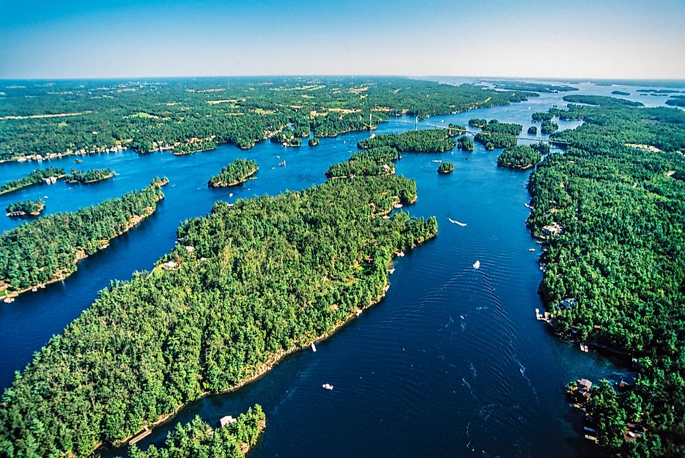
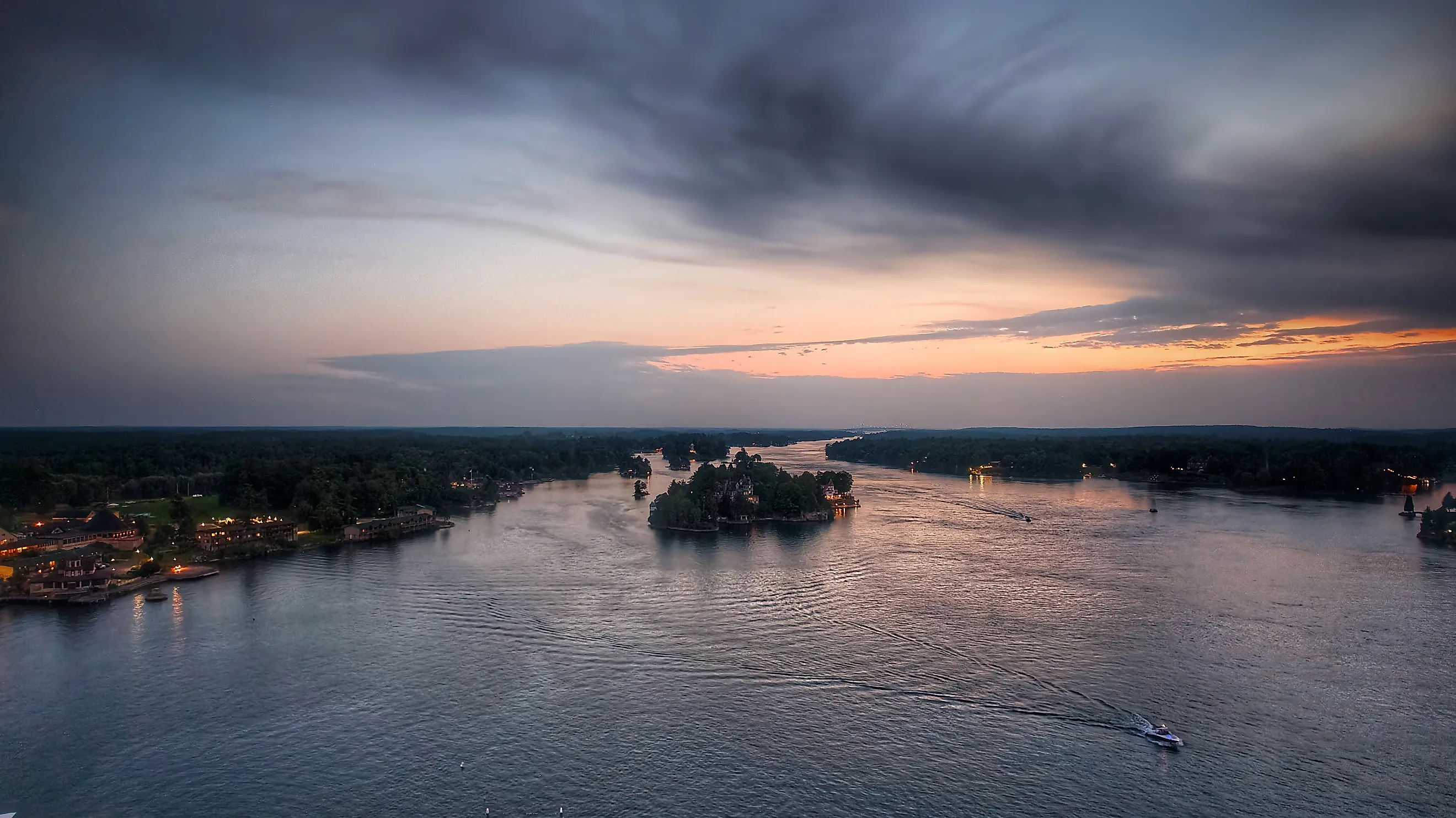
The Thousand Islands total 1,864 across the US-Canada border where the St. Lawrence flows out of Lake Ontario. Wellesley Island, on the American side, carries part of the Thousand Islands International Bridge. That crossing connects Interstate 81 in New York with Highway 401 in Ontario. Nearby Heart Island holds Boldt Castle, reached by boat from Alexandria Bay.
The crowded geography begins with the Frontenac Arch, a band of ancient rock connecting the Canadian Shield with the Adirondack Mountains. Glaciers scraped sediment away and rounded the exposed hills. When the St. Lawrence flooded the lower terrain, the higher ground remained above water as islands. The closely spaced islands help plants and animals spread between the Canadian Shield and the Adirondacks.
Susquehanna River

Between Sunbury and Harrisburg, the Susquehanna divides around roughly 400 to 500 islands. Additional islands lie elsewhere along the river. Many of the islands here are publicly owned, and designated campsites allow paddlers to sleep within the river channel during multiday trips.
The Susquehanna River Trail Association maintains 23 primitive island campsites across the Middle Section water trail. Downstream of Selinsgrove, Toad Island offers one such stop about seven river miles below Selinsgrove's Isle of Que launch, with five other designated sites nearby. The sites operate on a first-come, first-served basis.
Continuing toward Millersburg brings paddlers to McKees Half Falls, roughly four miles below Toad Island. A resistant sandstone layer leaves rocks and rapids across the route, where scouting may be necessary before proceeding.
Penobscot River

More than 200 islands in Maine's Penobscot River belong to the Penobscot Nation's reservation. The island territory extends upstream from Indian Island near Old Town toward the meeting of the river's East and West branches near Medway. Indian Island is the Nation's primary village and seat of government.
The village sits immediately above Old Town Falls, a traditional fishing place where Penobscot people caught migrating fish with spears and nets. Salmon and alewives were among the fish taken during spring and early summer. By the fall of 1950, ferryman Sylvester Francis had carried his last passengers between Indian Island and Old Town. A one-lane steel bridge replaced the ferry; a two-lane bridge followed in the 1980s.
Allegheny River

The Allegheny has more than 100 undeveloped islands, including seven protected as the Allegheny Islands Wilderness in northwestern Pennsylvania. Those seven lie between Buckaloons Recreation Area and Tionesta. Their sizes vary considerably: Crull's Island covers about 96 acres, while No-Name Island occupies about 10. Visitors reach the wilderness islands by boat, and the woods have no designated trails.
River sediment forms these alluvial islands. Deposits accumulate within the channel, creating ground where silver maples and American sycamores grow. Old-growth stands survive in the wilderness, while floods and storms leave other patches at earlier stages of regrowth. Farther downstream near Pittsburgh, Allegheny Islands State Park protects a separate group of two islands and seven shoals. These low islands flood frequently, and the park remains undeveloped.
When the Susquehanna River Trail opened in 1998, it had 10 island campsites between Halifax and Harrisburg. Its Middle Section now has 23 primitive island campsites, giving paddlers more places to stop among the river's wooded islands. Maintaining that network means returning after annual spring floods to clear dead trees and debris. Volunteer stewards work with forestry staff because most river islands in this stretch are state forest land. Many campsites have fire rings and picnic tables. The trail association also provides logbooks where campers record their visits, and its water trail map identifies designated campsites and access points along the river.