Why The Pacific Coast Has Almost No Barrier Islands
Barrier islands are long, low strips of sand that lie just off a coast. They line much of the Atlantic and Gulf shores, including North Carolina’s Outer Banks, and their beaches absorb much of the force of the waves before it reaches the calmer water behind them.
The Pacific coast of the United States has almost none. That means the open ocean breaks directly against the mainland, and as sea levels rise, the sandy shores that do exist there have less room to shift than the islands of the East. The reasons below help paint the picture of why the western edge of the country remains so bare of sandy islands, and where its beach sand ends up instead.
Steep Shores Leave Less Room For Sandy Barriers
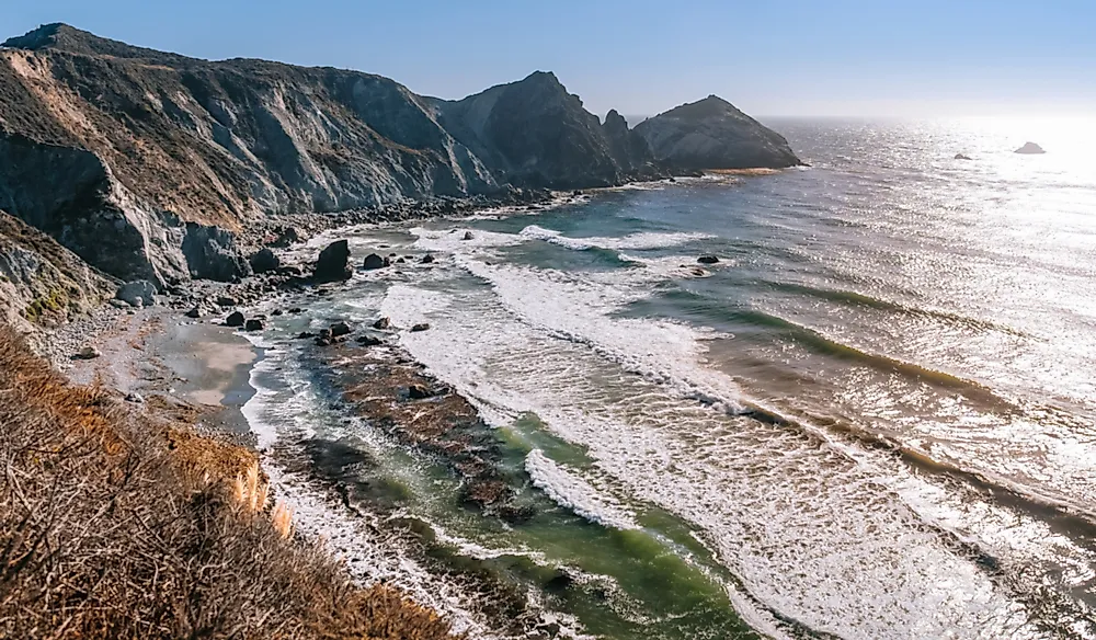
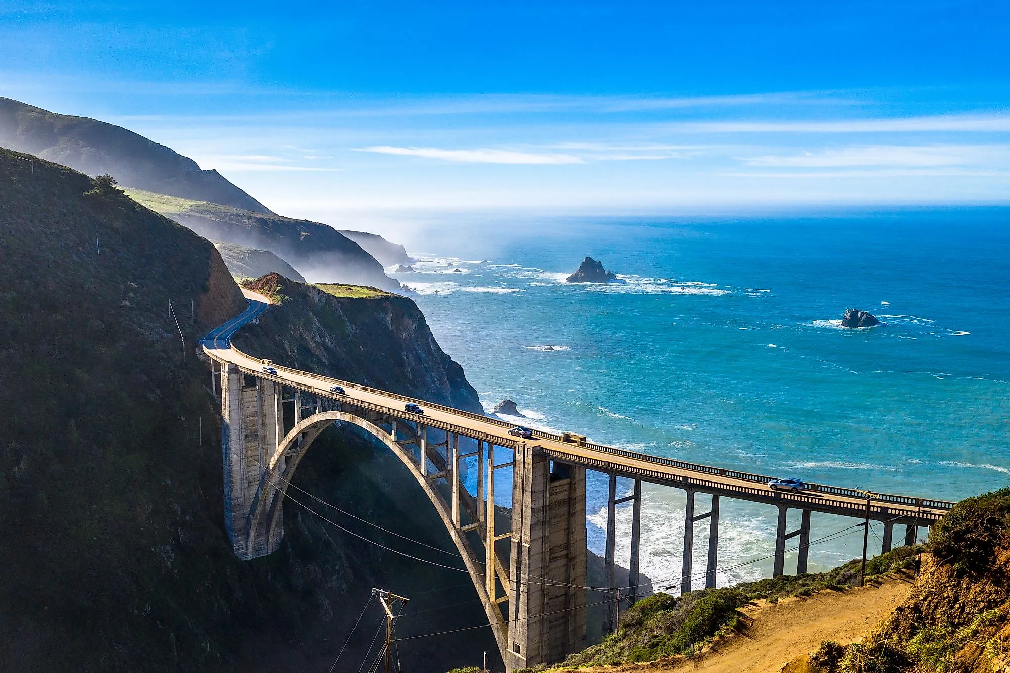
Big Sur's coastal mountains rise close to the surf. The West Coast lies along an active boundary between tectonic plates. Over millions of years, faulting and uplift have produced coastal mountains and rocky headlands, leaving many beaches confined to small bays.
Offshore, the continent's shallow submerged edge, called the continental shelf, is generally narrow. Much of the Atlantic and Gulf coastline has a broader shelf beside low coastal plains. That gentler setting provides more space for sand to accumulate into offshore barriers, with water remaining between the sandy ridge and the mainland.
Tectonic forces have also raised islands off California. The northern Channel Islands contain uplifted marine sedimentary rocks and older volcanic material. Sandy beaches fringe parts of their shores, but the islands themselves have rocky foundations.
Monterey's Beach Sand Can Travel Into Deep Water

At Moss Landing, sand moving along Monterey Bay's beaches reaches the head of an underwater canyon. Monterey Canyon begins close to shore, providing a route down into deep water. Powerful sediment flows carry beach-derived material along the canyon's central channel. Sediment can accumulate on the upper canyon floor before later flows move it farther downslope. Sand that reaches deep water is no longer available for waves to pile into a beach or offshore barrier.
Even sand that stays near shore may have limited room to travel. Rocky headlands can restrict its passage between neighboring bays. Along the Monterey Peninsula and Carmel Bay, those interruptions help divide the sand into separate pocket beaches.
A Sandy Beach Can Shift Without Becoming An Island

At Salt Creek Beach in Southern California, seasonal changes in incoming waves move sand along the beach and alter the shoreline's angle. One end can gain sand while the other loses it. Larger waves can also carry beach sand offshore, and smaller waves can return some of it toward land. The direction of that movement varies along the coast. In Northern California, winter swells can push sand northward along pocket beaches. On Southern California's pocket beaches, winter waves generally move sand southward.
Tides also alter the height at which waves reach the shore. Tidal ranges generally increase northward along the Pacific coast. Where high and low water differ greatly, waves work across a wider vertical zone, making some sandy barriers harder to maintain.
Washington Has Sandy Barriers Still Attached To Land

Waves can also build sandy barriers where enough sediment accumulates, as it does near the Columbia River. Washington's Long Beach Peninsula extends between the Pacific and Willapa Bay, built with sediment delivered to the coast by the river. The southern end still connects to the mainland, making it a spit.
Spits grow as waves and currents carry sediment along the coast and deposit it beyond a bend or across part of a bay entrance. They can shelter water much as barrier islands do. A spit that extends all the way across an entrance becomes a bay barrier.
Farther north, Dungeness Spit projects into the Strait of Juan de Fuca. Eroding bluffs to its west supply sand and gravel that currents carry eastward along the spit. Behind that barrier, eelgrass beds provide nursery habitat for young salmon and steelhead. Migrating shorebirds feed on protected tideflats.
The sandy barriers along both coasts also need room to move as water levels rise. Along the Atlantic, Assateague Island is moving landward as storms carry sand across its beaches and deposit it on the bay side. That movement gradually narrows the water separating the island from the mainland. A barrier can change position while remaining an island, provided the surrounding terrain and sediment supply allow it. Steep Pacific shores offer less room for that kind of retreat. Where a sandy barrier lies against bluffs, rising water can submerge it instead of allowing it to migrate across a broad, low coastal plain.