The Deepest Man-Made Lakes In The United States
The deepest point of a man-made lake is not always its current depth. Reservoirs across the United States rise and fall with the demands of water supply, farming, and power. Many sit far below their maximum capacity. Lake Mead can reach 532 feet when full but has not come close since 1983. Rather than compare these lakes at today's levels, this ranking uses the maximum depth each one can reach when completely full.
Lake Oroville

Lake Oroville is the second-largest reservoir in California, with over 15,500 surface acres of water and 167 miles of shoreline. It is located immediately east of the city of Oroville. It was formed by the Oroville Dam, the tallest earthen dam in the United States, by impounding the Feather River. Lake Oroville provides water to homes, farms, and industries in the San Francisco Bay area, the San Joaquin Valley, and Southern California. Additionally, the dam provides flood control, smog-free electric power, and recreation. At its maximum capacity, Lake Oroville's deepest point is 690 feet.
Dworshak Reservoir

At a close second, the Dworshak Reservoir is as deep as 650 feet in some places when at full pool. The reservoir is located on the North Fork of the Clearwater River in Idaho. It is formed by the Dworshak Dam, the third-tallest dam in the United States and the tallest straight-axis concrete dam in the Western Hemisphere. The reservoir stretches upstream for 54 miles through the Clearwater National Forest in the Bitterroot Mountains. Although the reservoir was created primarily for flood control purposes, it also produces hydroelectric power and allows for recreation on and off the water, like hiking, fishing, and launching watercraft.
New Bullards Bar Reservoir

Bordering the Tahoe and Plumas National Forests, the New Bullards Bar Dam forms the 15-mile-long New Bullards Bar Reservoir in the foothills of the Sierra Nevada Mountains. The dam and the subsequent lake it formed were built to provide electricity, irrigation, flood control, and recreational opportunities. It reaches 620 feet at its deepest point. New Bullards Bar Reservoir is fed by the North and Middle Yuba River and Oregon Creek. Recreational activities include boating, camping, fishing, watersports, and over 20 miles of hiking and biking trails, some lakeside and others climbing into steeper forest.
Lake Powell

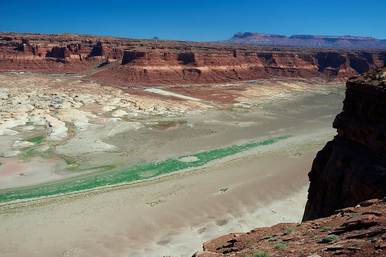
Moving on to reservoirs on the Colorado River, Lake Powell straddles the border between Arizona and Utah. Lake Powell was formed by the construction of the Glen Canyon Dam. The lake began to fill in 1963 but did not reach its maximum capacity until 17 years later in 1980. At this time, the deepest point was near the dam, at 583 feet. The lake was created to manage water supplies in the American Southwest, storing water during wet years and releasing it during dry years. Lake Powell is one of the most popular landlocked aquatic recreation areas in the United States on account of 96 side canyons bordering it.
Lake Mead

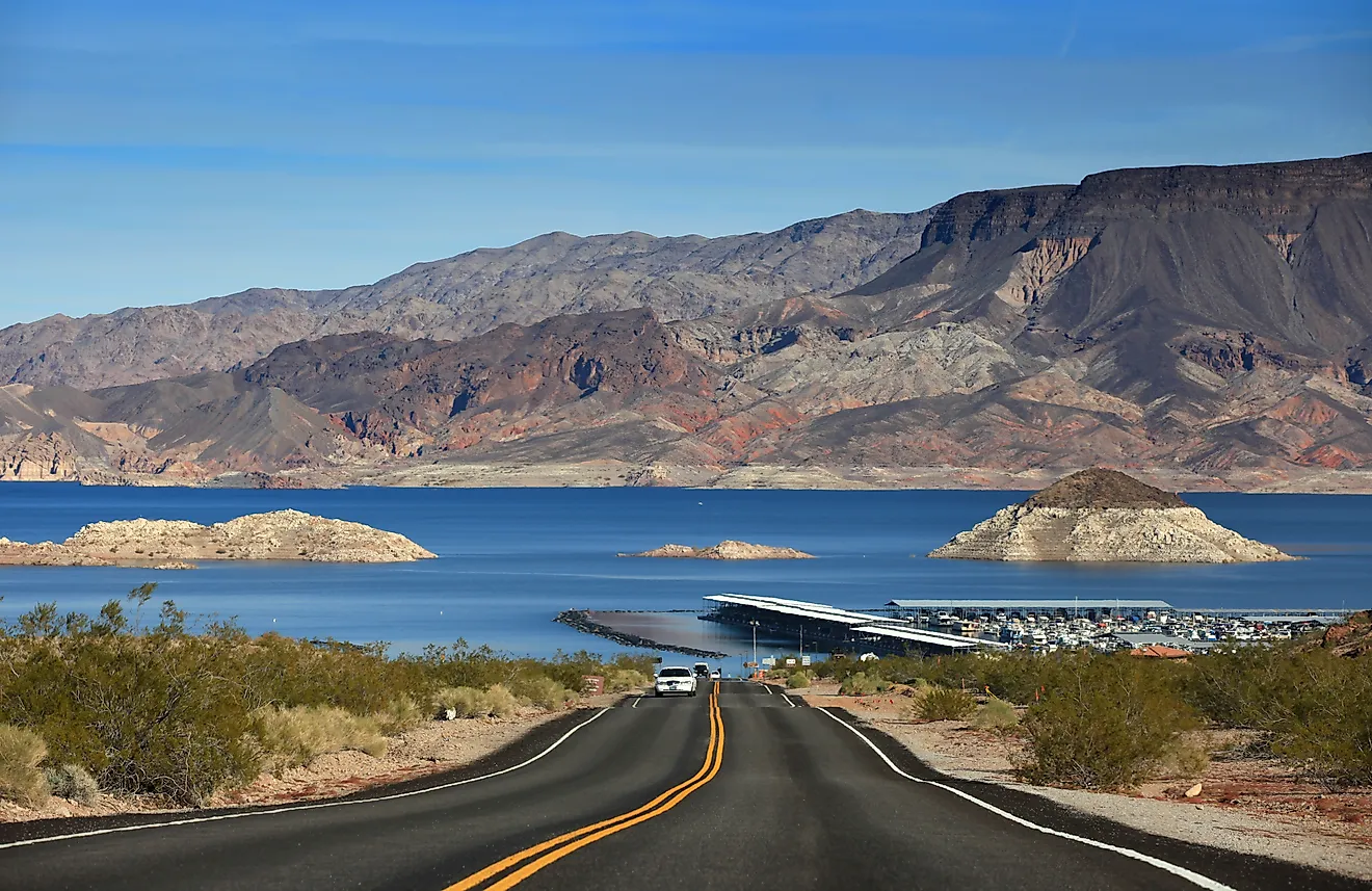
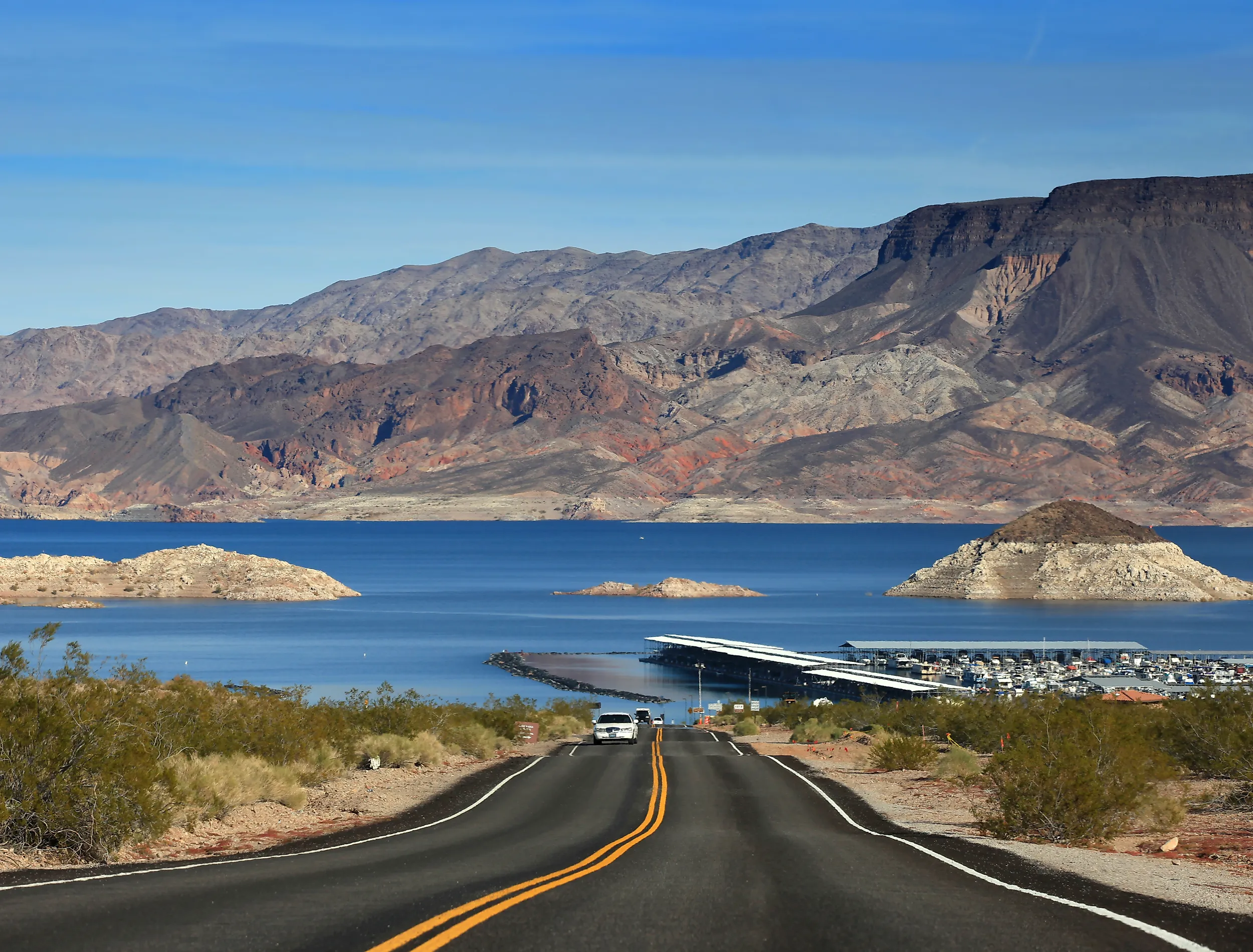
Water from Lake Powell is released further downstream into Lake Mead, which sits on the border between Arizona and Nevada. Lake Mead is formed by the Hoover Dam. Lake Mead provides drinking water and hydroelectric power for over 25 million people in Arizona, Nevada, and California. At its maximum capacity, Lake Mead's greatest depth is 532 feet. However, in 2022, water levels reached historic lows, resulting in many boat ramps closing or being limited to shallow-hull vessels. Visitors to the Lake Mead National Recreation Area are still able to bike, hike, camp, and fish.
Shasta Lake

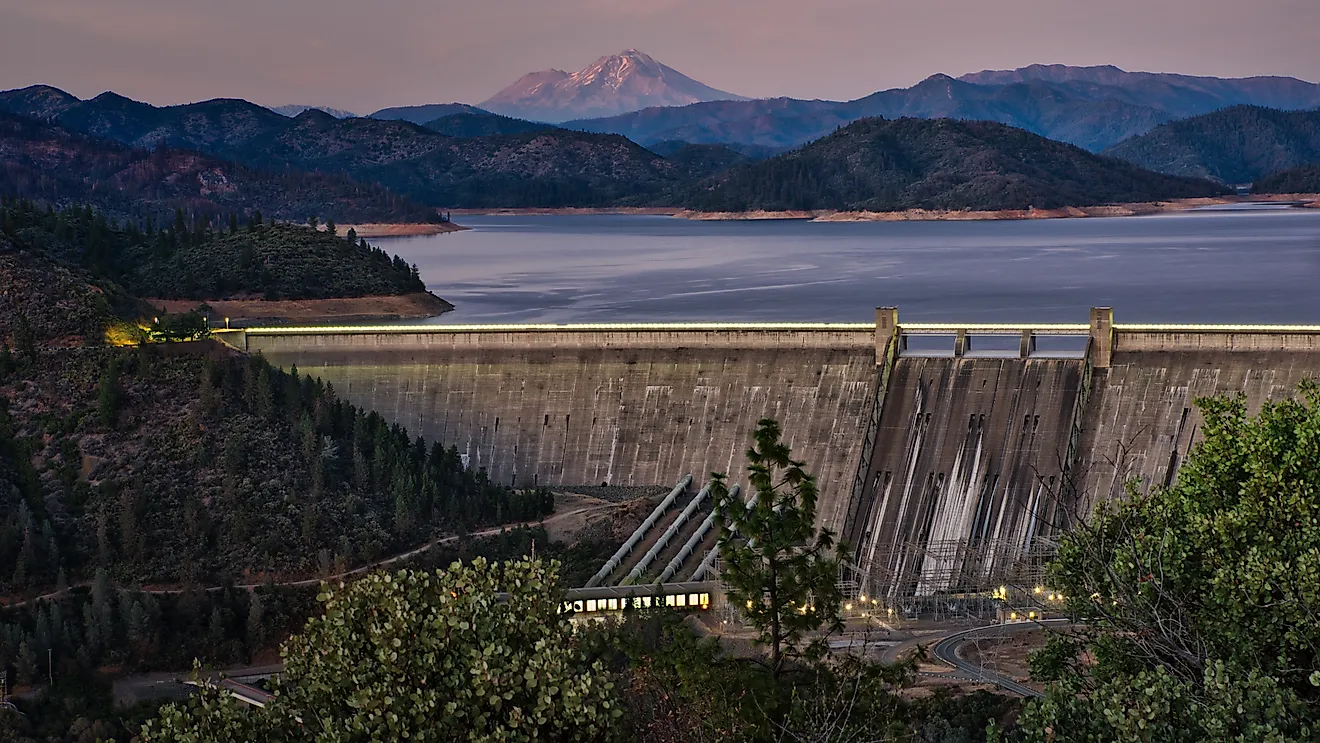
In Northern California, Shasta Lake is formed by the Shasta Dam on the Sacramento River. The dam was constructed to accommodate people moving to California's Central Valley from the Eastern United States. The valley had fertile soil but was susceptible to droughts and flooding. The dam was a solution to these issues. Like many man-made lakes, Shasta Lake levels change throughout the year. At its capacity, however, Shasta Lake has a maximum depth of 517 feet. Shasta Lake is now one of California's most popular recreation destinations. Hiking, biking, and horseback riding through the Shasta-Trinity National Forest is popular around the shores, whereas boating, canoeing, and swimming are popular on the water.
Carters Lake

Carters Lake is located in the foothills of the Blue Ridge Mountains in northwest Georgia. It was formed on the Coosawattee River by Carters Dam, which was completed in 1977. The lake's primary purpose has been for flood control and to generate power. With some portions of the lake exceeding depths of 450 feet, it is the deepest of Georgia's man-made lakes. Although man-made, the shores of Carters Lake appear very natural and scenic due to how undeveloped the 62 miles of shoreline are. Visitors can enjoy the clear water and rugged shoreline while camping, hiking, fishing, and boating.
Fontana Lake

Fontana Lake includes over 240 miles of remote and undeveloped shoreline, most of which borders the Great Smoky Mountains National Park. Fontana Lake is the deepest lake in North Carolina with a maximum depth of 440 feet. It is impounded by the Fontana Dam on the Little Tennessee River. Fontana Dam is the tallest dam east of the Rocky Mountains at 480 feet. The dam was completed in 1945 for the purpose of producing hydroelectricity and providing flood control. Although Fontana Lake is popular for fishing, boating, and swimming, it is perhaps most appreciated by hikers who walk directly over the top of the dam while hiking the Appalachian Trail.
Flaming Gorge Reservoir

The Flaming Gorge Reservoir was formed by the Flaming Gorge Dam on the Green River. It stretches 91 miles between northeast Utah and southwest Wyoming. The water stored in the lake aids agricultural producers during times of drought, while minimizing flooding during wet periods. At its deepest point, the reservoir is 436 feet. Passive and active recreation is available, with jet skiing and power boating on wide open stretches of water, and protected inlets and quiet lagoons near the shore. Several islands dot the surface of the lake, such as Osprey Island and Gilligans Island, which showcases natural features like slot canyons, walls, and pinnacles.
Lake Koocanusa

Lake Koocanusa was formed by Libby Dam for the purpose of producing hydropower and flood protection. The dam is located on the Kootenai River. Lake Koocanusa extends 90 miles upstream from Montana and into British Columbia. This makes Lake Koocanusa a transboundary reservoir as it sits on the border between the United States and Canada. Lake Koocanusa reaches its maximum depth of 348 feet at the Libby Dam forebay. It is a popular recreational destination with several areas located along the lakeshore, such as Rocky Gorge, which has 120 campsites for both tents and recreational vehicles, as well as direct lake access.
The Deepest Man-Made Lakes in the Country
Although these lakes vary in size and depth, they demonstrate the engineering behind America's water infrastructure. What these man-made lakes have in common is how their function doubles. These lakes serve practical purposes such as providing drinking water, maintaining flood control, and creating electricity, while also creating an abundance of recreational opportunities both on and off the water. Their maximum depths reveal just how much water they are capable of storing, even if a few of them rarely reach full capacity today.