Which State Uses The Most Water
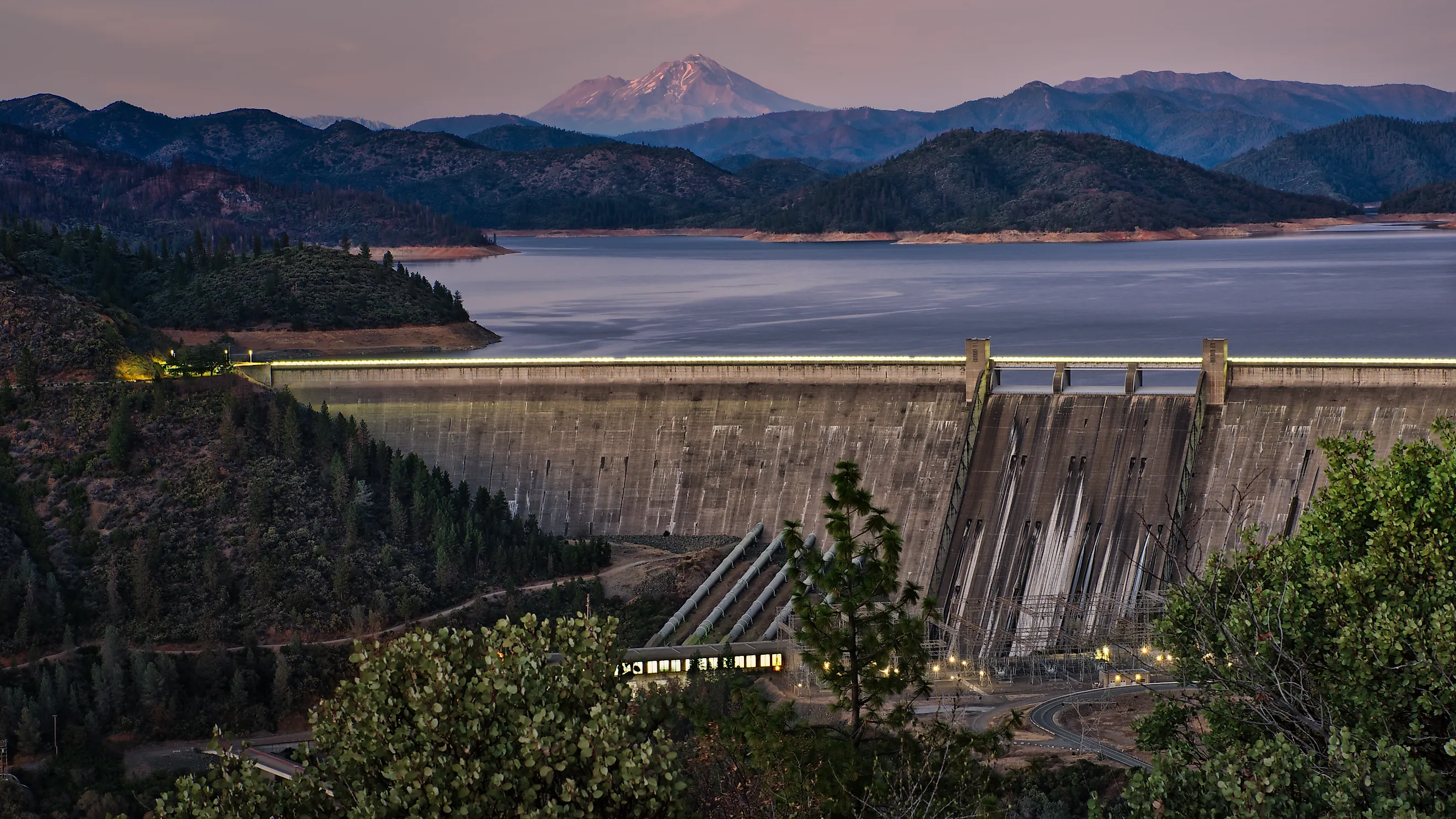
When Shasta Dam was finished in 1945, its reservoir could hold more water than any other in California, yet even that would not last long against the state's thirst. At the rate Californians were pulling water in 2010, the US Geological Survey figured the state could have drained Shasta Lake in about 40 days. The state that uses the most water is California, and it is not especially close. In the 2015 national estimate, the latest to cover every kind of use, California accounted for almost 9 percent of the 322 billion gallons Americans withdrew each day. This ranking uses total withdrawals of fresh and saline water. Each of the top four has its own story to tell through a lake, a river, a waterfall, and a very shallow inland sea.
California: Shasta Lake

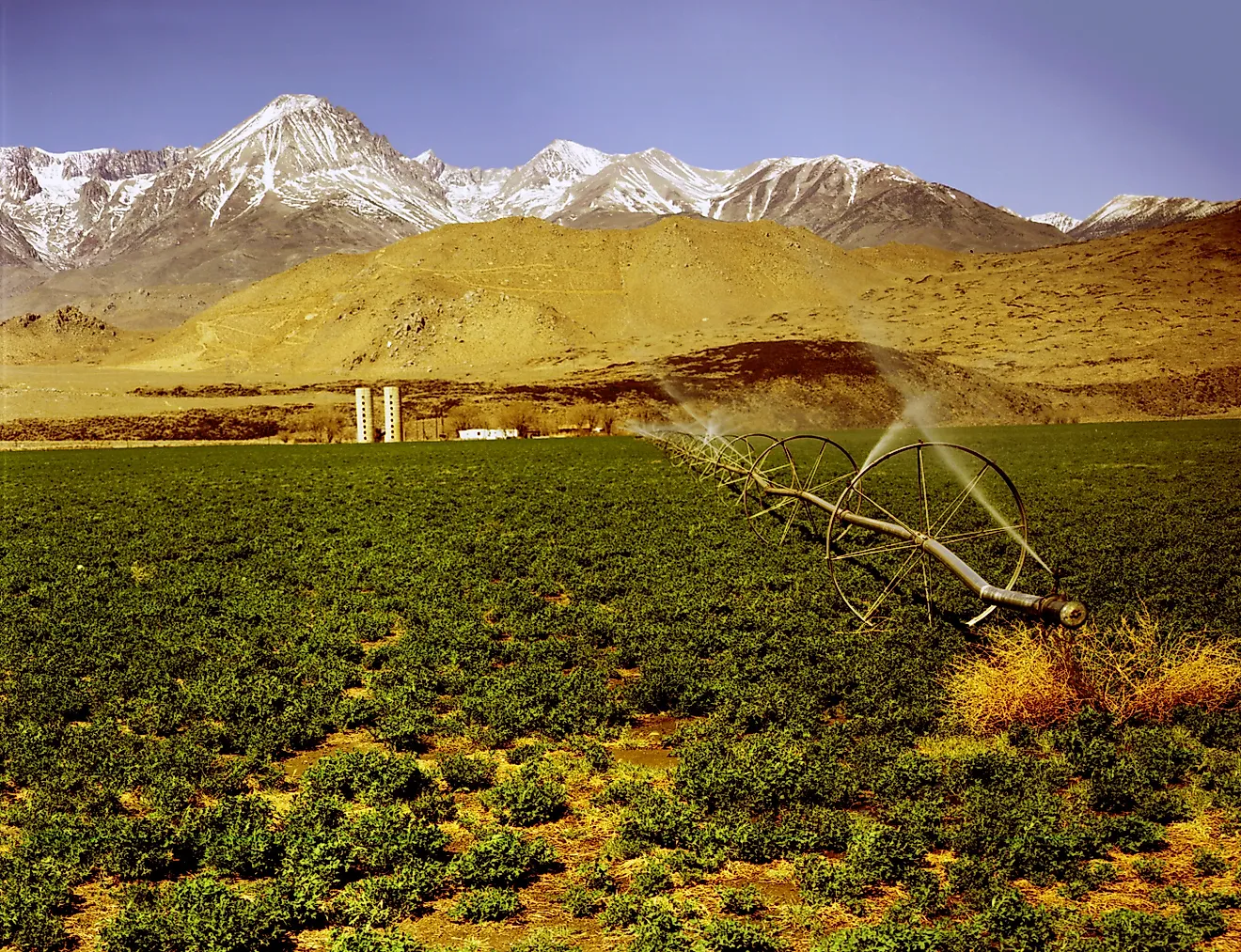
Follow the water out of Shasta Lake and you will find California's secret. It is mostly feeding crops. The reservoir, which holds about 4.55 million acre-feet (5.6 km³) when full, dams the Sacramento River north of Redding and anchors the federal Central Valley Project, which sends water south to one of the most productive farm regions on Earth. Nearly three-quarters of all the freshwater California withdraws goes to irrigation. That matters more than it sounds. Power plants return almost all the water they borrow, but crops drink it, sweat it into the air, or lock it into the harvest. Nationally, the USGS found that 62 percent of irrigation water was consumed this way in 2015, compared with just 3 percent for power plants. On the lake itself, the pace is slower. Rent a houseboat and drift up the McCloud or Pit River arms, where steep, forested shorelines feel a world away from the Central Valley. The state also has a comeback story. California's withdrawals peaked in 1980 at 54 billion gallons (204 billion liters) a day, and by 2015, the state was using roughly half that.
Texas: The Comal River

Texas took second place in 2015, with about 7 percent of the national total, much of it for power plants, farms, and city taps. To see how carefully Texans guard what lies underground, grab an inner tube in New Braunfels. The Comal River is born at Comal Springs, the largest springs in Texas, where water from the Edwards Aquifer bubbles up through hundreds of openings beneath Landa Lake. The result is a short, gin-clear river built for floating, complete with a famous tube chute that sends riders splashing downstream. The Edwards also supplies drinking water to San Antonio, so every well pumping from it tugs on these springs. That is why locals keep an eye on a single monitoring well in Bexar County. When its water level drops, the springs slow down.
Idaho: Shoshone Falls On The Snake River

Here is the twist nobody sees coming. Idaho, home to fewer than 2 million people in 2015, outranked every state except California and Texas. It withdrew about 17.7 billion gallons (67 billion liters) of freshwater a day, roughly 86 percent of it for irrigation, much of it pulled from the Snake River to green the farm fields of southern Idaho. Idaho households topped the nation, too, using 184 gallons (697 liters) per person per day, more than double the national average of 82 gallons (310 liters). Want to see all that demand with your own eyes? Visit Shoshone Falls near Twin Falls. The horseshoe-shaped cataract plunges 212 feet (65 m), 45 feet (14 m) farther than Niagara Falls. In a wet spring, it thunders. By late summer, after upstream canals have taken their share for farmland, it can shrink to a trickle, which is why locals always give the same advice. Go in spring.
Florida: Lake Okeechobee

Florida rounds out the top four at about 15.3 billion gallons (58 billion liters) a day, and a surprising amount of it is salty. No state withdrew more saline water, about 23 percent of the national total, mostly seawater pumped through coastal power plants to keep them cool. For freshwater, Florida leans on the Floridan aquifer system and on Lake Okeechobee, the largest lake in the state by surface area. The region around the lake and the canals of the Everglades Agricultural Area accounted for more than half of Florida's fresh surface-water withdrawals. Locals call it the "Big O," and they will tell you its biggest surprise. For all its size, the lake averages only about 9 feet (2.7 m) deep. See it from above the water on the Lake Okeechobee Scenic Trail, which runs along the top of the Herbert Hoover Dike that rings the lake. Florida has a comeback story of its own, too. In 2015, public supply overtook farm withdrawals for the first time since the state began reporting water use in 1965, helped by big conservation gains on farms.
Following The Water
Together, California, Texas, Idaho, and Florida withdrew more than a quarter of all the water used in the United States in 2015. Each one spends it differently. California and Idaho pour it onto crops, Texas splits it among power, farms, and fast-growing cities, and Florida cools its power plants with the sea. These numbers are a decade old for a reason. The USGS has since switched to modeled estimates that cover only the three biggest uses, so 2015 remains the last complete state-by-state scorecard. The headline from that scorecard is encouraging. The nation's thirstiest state was using about half the water it did at its peak, proof that even California can learn to sip.