The Difference Between A Gulf And A Bay
In general, a gulf is a large coastal indentation that connects to a larger sea or ocean, sometimes through a narrow opening. A bay is also an indentation of a coastline, often smaller or more sheltered, with a wider opening. However, not all names follow the same universal rule, so there are exceptions. For example, the Bay of Bengal is larger than the Gulf of Mexico, which US federal agencies have called the Gulf of America since 2025, and some waters called bays have characteristics commonly associated with gulfs.
The Gulf of Mexico stretches along the shores of Texas, Louisiana, Mississippi, Alabama, and Florida, while Chesapeake Bay cuts nearly 200 miles into the Mid-Atlantic coast from the Atlantic Ocean. Both are partly enclosed coastal waters, but the names reveal how geographers and communities have described their size, shape, and history rather than a strict scientific dividing line.
What Is a Gulf?

A gulf is a broad body of water that forms where an ocean or sea extends inland and becomes partly surrounded by land. It may open directly to an ocean or connect through a strait, channel, or another sea. Gulfs are commonly large, deep, and open enough to experience substantial influence from the ocean, including tides, currents, storms, and marine migration routes.
The Gulf of Mexico is the most familiar American example. It borders five states, Cuba, and Mexico's eastern coast, making it a major part of the nation's coastal economy through the fishing industry, energy infrastructure, and beach tourism. Its warm waters help fuel tropical weather systems, which means Gulf Coast communities are more susceptible to hurricanes. Other well-known examples include the Gulf of California between Mexico's Baja California Peninsula and mainland Mexico, the Gulf of Alaska along the southern coast of Alaska, and the Persian Gulf between the Arabian Peninsula and Iran. Their shorelines, depths, water circulation, and surrounding terrain differ greatly, but each is a major marine inlet.
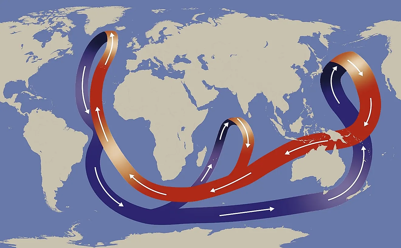
It's important to note that a gulf is not a separate ocean, but a part of a larger marine system. Earth has one interconnected global ocean that is commonly divided into five named regions: the Pacific, Atlantic, Indian, Arctic, and Southern oceans. Gulfs, bays, seas, sounds, and straits are regional bodies of water connected to those oceans or their marginal seas.
What Is a Bay?

A bay is a curved or recessed portion of a coastline where water is partly enclosed by land, but the entrance is typically less narrow or enclosed than a gulf. Bays can occur along oceans and seas as well as large lakes and even some rivers. Many are sheltered by headlands, peninsulas, or barrier islands, creating calmer water than the open coast. That protection has made bays important locations for ports, fishing grounds, and recreational beaches.
Chesapeake Bay is one of the country's best-known bays. It extends from the Susquehanna River in Maryland to the Atlantic Ocean near Virginia, with the impressive Chesapeake Bay Bridge-Tunnel near its southern entrance. Unlike a bay defined only by its outline on a map, Chesapeake Bay is also an estuary, meaning fresh water from rivers mixes with salt water from the Atlantic.
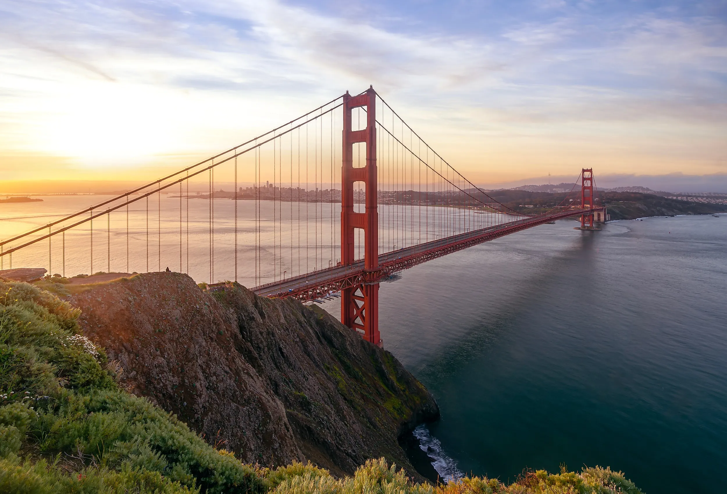
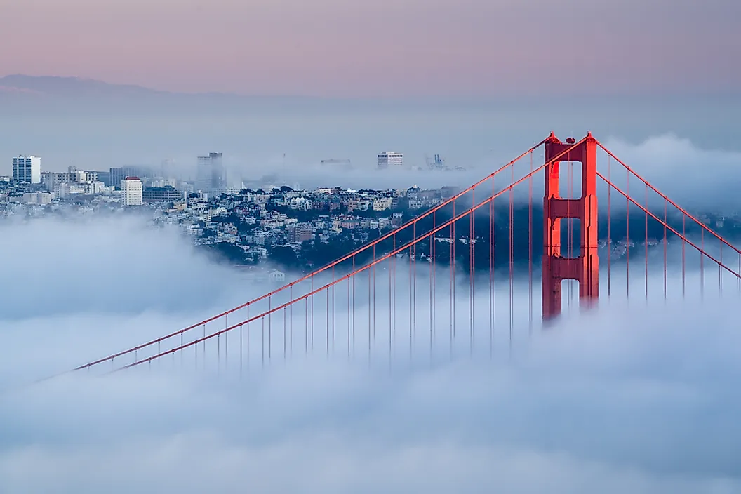
Hudson Bay in Canada is the second-largest bay on the planet, after the Bay of Bengal. San Francisco Bay is another example. The Golden Gate Bridge, one of the country's most recognizable landmarks, spans the strait that connects San Francisco Bay to the Pacific Ocean. The bay's sheltered waters supported the growth of one of America's most important port regions, but its narrow entrance sometimes produces strong tidal currents and foggy conditions.
Size is Only a Guideline

The simplest rule of thumb is that a gulf is usually larger than a bay, but it is not a reliable, universal rule. Geographic naming developed over centuries through local languages, customs, and colonial maps, so names often reflect history as much as physical geography. The Bay of Bengal demonstrates the problem with treating size as a rule. It lies northeast of the Indian Ocean and is larger than the Gulf of Mexico, even though "bay" often suggests a smaller coastal feature. Hudson Bay is larger than the Persian Gulf, another example of names that do not follow a strict size hierarchy.
Some features called gulfs are relatively enclosed, while some bays open widely to the sea. A bay may have a narrow mouth and protective headlands, like a harbor, or it may be a vast open expanse. A gulf may extend far inland and have only a limited connection to the open ocean, as seen in the Persian Gulf and the Gulf of California. For that reason, geographers do not use a universal acreage threshold, maximum depth, or entrance width to decide whether a body of water must be called a gulf or a bay. The terms overlap. In practice, a name becomes established through maps, local use, governmental records, and long-standing geographic convention.
Shape and Coastal Features

Although naming is inconsistent, bays and gulfs often differ in the way they look and function along a shoreline. Bays are frequently associated with calmer, more protected coastal settings. Enclosing landforms can reduce incoming waves, creating relatively calm anchorage for boats. This is why many cities like San Diego or New York developed around bays.
A gulf often feels more like a regional sea basin. It may border several countries or states, contain broad continental shelves, or support large-scale currents. The Gulf of Mexico, for instance, is bordered by the United States, Mexico, and Cuba. Its waters connect to the Caribbean Sea through the Yucatán Channel and to the Atlantic Ocean through the Straits of Florida.
Bays can be shaped by erosion, sea-level rise, river valleys, glaciers, tectonic movement, or sediment buildup. Mobile Bay in Alabama, for example, is associated with drowned-river-valley processes that formed when sea levels rose after the last glacial period. Coastal landscapes are not fixed since storms and waves can erode and reshape shorelines. Beach erosion, dune erosion, island breaching, and other processes are important forms of coastal change in the United States.
Bays, Gulfs, and Coastal Life
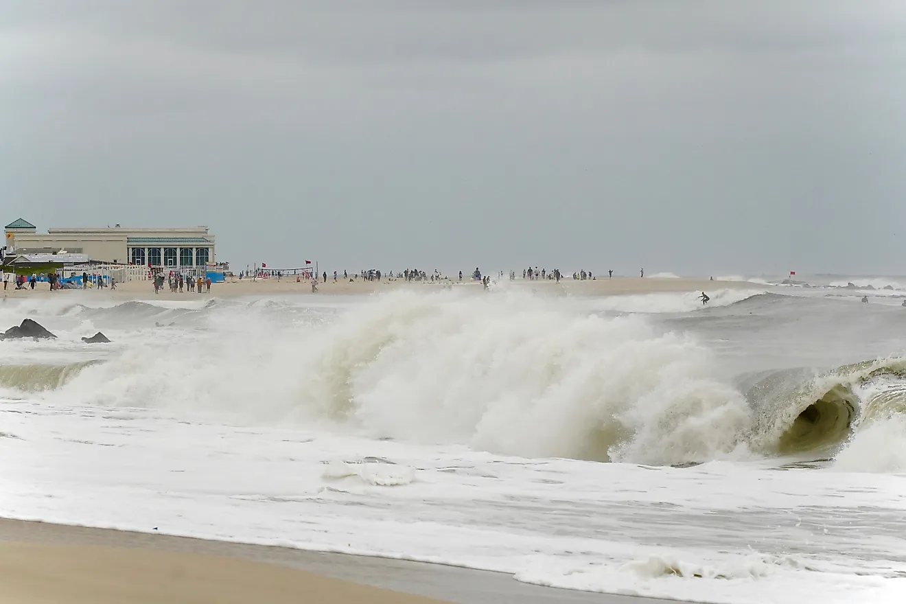
Both gulfs and bays can support seagrass beds, oyster reefs, migratory birds, fisheries, and commercial shipping. They also pose environmental risks, including flooding, harmful algal blooms, shoreline erosion, or pollution carried from inland waters. The Gulf Coast is especially vulnerable to tropical storms because the Gulf of Mexico is connected to the Atlantic hurricane basin. Communities from Texas to the Florida Panhandle depend on coastal forecasts and resilient infrastructure. Barrier islands and wetlands can reduce wave energy in some areas, but they change over time as storms and sea-level conditions alter the coast.
Bays also carry risks. Sheltered water can appear calm even when tidal currents, sudden wind shifts, dense fog, or changing weather make boating hazardous. Near San Francisco's Golden Gate, ocean water funnels through a narrow opening between the Marin Headlands and the Presidio, producing strong currents that contrast sharply with the more protected areas inside the bay.
Whether a place is called a bay or a gulf, it's part of a connected coastal system influenced by nearby wetlands and weather patterns. Understanding the unique characteristics of an area can help explain why your favorite beach town is affected by frequent rainstorms, hurricanes, or even a changing shoreline.