How The Mississippi Compares To The Nile
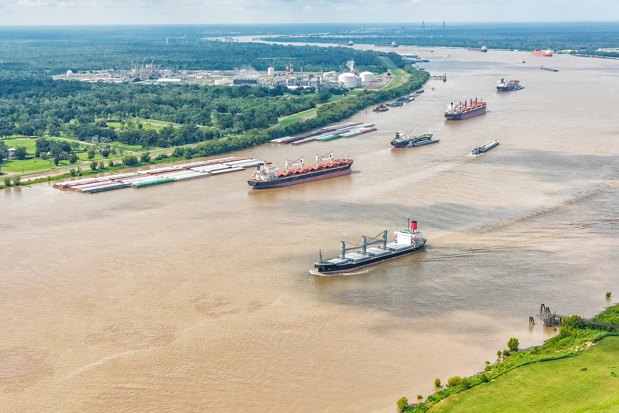
At Lake Itasca in Minnesota, the Mississippi is a stream 20 to 30 feet wide. By New Orleans it is pushing roughly 600,000 cubic feet of water toward the Gulf every second, about six times what the Nile has historically carried past Aswan. That alone would seem to settle which river is bigger, except that the Nile runs more than 1,800 miles longer and sustains farms across a region too dry to grow much without it. Neither river simply outranks the other. The lead changes with the measure, from length and water volume to barge cargo and the shape of each delta.
How The Mississippi Took Shape And Why It Matters

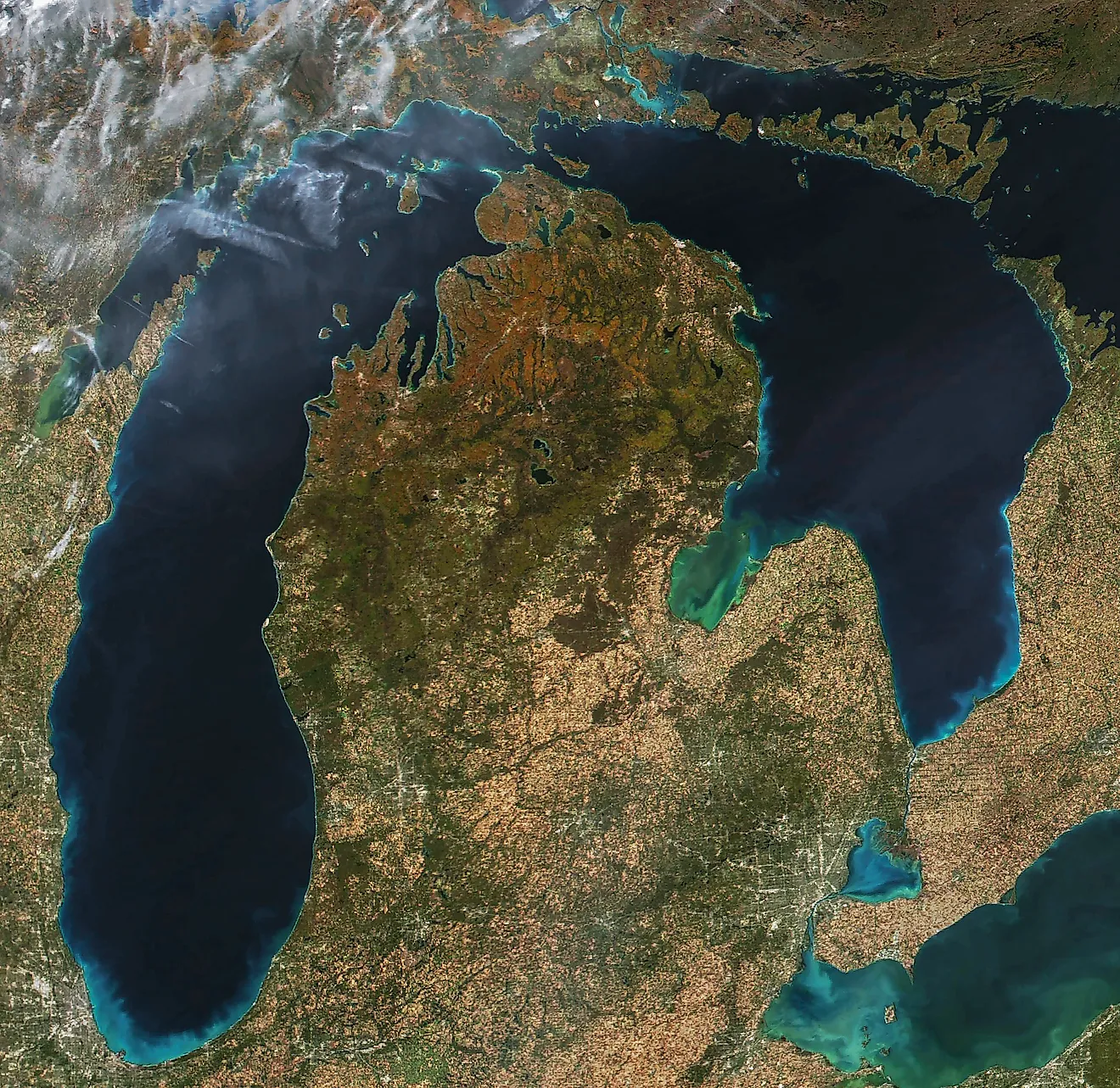
The Mississippi did not appear in its modern form all at once. Its valley reflects millions of years of erosion and sediment movement, followed by major reshaping during the last Ice Age. In Minnesota, meltwater from glacial Lake Agassiz poured through Glacial River Warren between roughly 11,800 and 9,200 years ago, cutting a broad valley later occupied in part by the Minnesota and Mississippi rivers. Farther south, the lower Mississippi has repeatedly shifted across its floodplain, leaving old channels and oxbow lakes behind.
That history matters because the river now gathers water from an enormous section of North America. The U.S. Army Corps of Engineers puts its watershed at about 1.25 million square miles, covering 41% of the nation's interior and more than 250 tributaries. The same system links Midwestern farms with Gulf ports. USDA says barges on the Mississippi River Navigation System deliver roughly 90% of the grain exported through the Mississippi Gulf port region.
The Nile Is Longer Than The Mississippi

The Nile takes the length title. The Nile Basin Initiative measures the river at about 6,695 kilometers, or 4,160 miles. The National Park Service gives the named Mississippi a length of roughly 2,350 miles between Lake Itasca and the Gulf. That comparison, however, leaves out the Missouri, the Mississippi's longest major tributary. Following the continuous Mississippi-Missouri route produces a system about 3,710 miles long. The Nile is still longer, but the gap falls to roughly 450 miles instead of more than 1,800. River rankings depend heavily on which headwater is treated as the starting point. At Lake Itasca, the Mississippi is only 20 to 30 feet wide. Thousands of miles later, water collected across much of the central United States has joined the main channel. The Nile follows an even longer northward route before reaching the Mediterranean.
Their Drainage Basins Are Almost The Same Size

Length separates the rivers, but their drainage basins are remarkably close in area. The National Park Service puts the Mississippi watershed at about 3.2 million square kilometers, or 1.2 million square miles. The Nile Basin Initiative gives the Nile basin essentially the same area, about 3.2 million square kilometers.

The maps look dramatically different. Mississippi drainage reaches parts of 31 states and two Canadian provinces. The Nile basin extends across 11 African countries and more than 35 degrees of latitude.
That similarity makes the flow difference especially striking. A drainage basin only describes the land capable of sending water toward a river. It does not reveal how much rain falls there or how much water evaporates before reaching the main channel. Large areas of the Nile basin in Sudan and Egypt generate almost no runoff and experience high evaporation. The Mississippi basin includes extensive wetter regions that continually add water through major tributaries.
The Mississippi Carries Far More Water

The Mississippi wins decisively on water volume. The National Park Service gives its discharge at the Gulf at about 16,792 cubic meters per second, with an average near New Orleans of roughly 600,000 cubic feet per second. For the Nile, FAO records a historical 1900 to 1959 average of 84 cubic kilometers per year at Aswan, equivalent to about 2,660 cubic meters per second. Those benchmarks put Mississippi discharge at roughly six times the Nile's historical Aswan flow.
This is not a perfect modern mouth-to-mouth measurement. Aswan lies well upstream of the Mediterranean, and dams, irrigation, evaporation, and other withdrawals alter the amount continuing north. The underlying contrast remains substantial. The Nile Basin Initiative notes that most of Sudan and Egypt contributes almost no runoff. The Mississippi receives large additions from wetter parts of its watershed. A river almost 2,000 miles shorter by named-channel length can therefore move considerably more water.
The Rivers Get Their Water In Very Different Ways
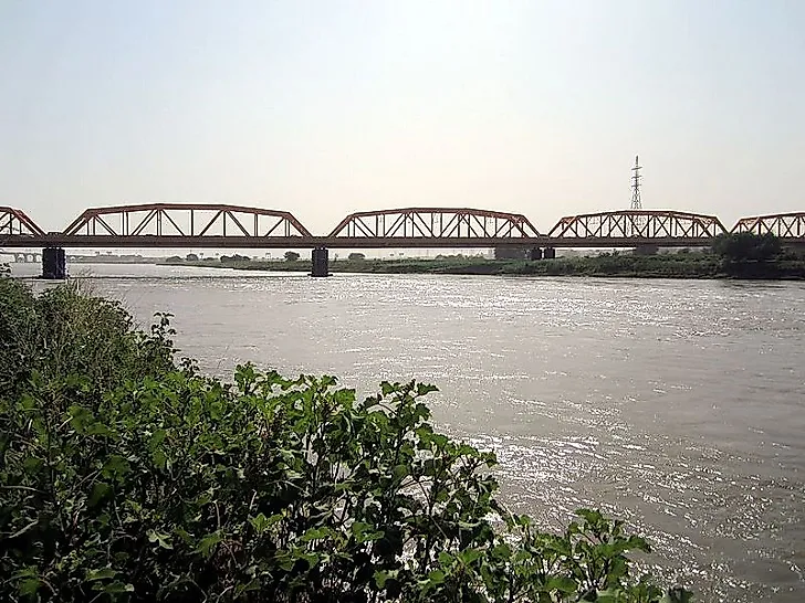
Much of the Nile's natural annual pulse begins in the Ethiopian Highlands. Nile Basin Initiative research estimates that tributaries draining those highlands supply about 85% of annual Nile flow, with most of that runoff arriving during a four-month season. The Blue Nile is especially seasonal. The White Nile, moderated by large equatorial lakes and wetlands, provides steadier water through the year. The Mississippi draws from a broader mix of climates. Snowmelt affects northern reaches, while seasonal rainfall raises tributaries elsewhere. The Ohio adds substantial water from the wetter eastern United States. Flood timing therefore varies across the basin instead of following one dominant highland rainy season. The geographical contrast is easy to see. The Nile receives most of its water far upstream and then crosses increasingly dry terrain. The Mississippi keeps gaining sizeable tributaries as it travels south, including the Missouri, Ohio, Arkansas, and Red river systems.
The Mississippi Moves Freight While Nile Water Feeds Farms

The Mississippi's commercial importance is especially visible in its barge traffic. USDA describes America's inland waterways as a crucial route for agricultural exports, with the Mississippi River Navigation System moving grain toward Gulf terminals. On the Upper Mississippi alone, the National Park Service reports about 175 million tons of freight moving each year through 29 locks and dams.
Water use defines the Nile comparison more strongly. The Nile Basin Initiative estimates that agriculture consumes more than 80% of Nile water. That demand becomes especially important downstream, where rainfall is too limited to sustain intensive farming without irrigation. Egypt relies on the Nile for the vast majority of its freshwater, while irrigated fields occupy the narrow green corridor along the river and its delta. The two waterways therefore support major economies in noticeably different ways. Barges packed with bulk cargo are central to the Mississippi. Across the lower Nile, reliable water supplies make large areas of agriculture possible in an otherwise extremely dry region.
Engineering Has Changed Both Rivers

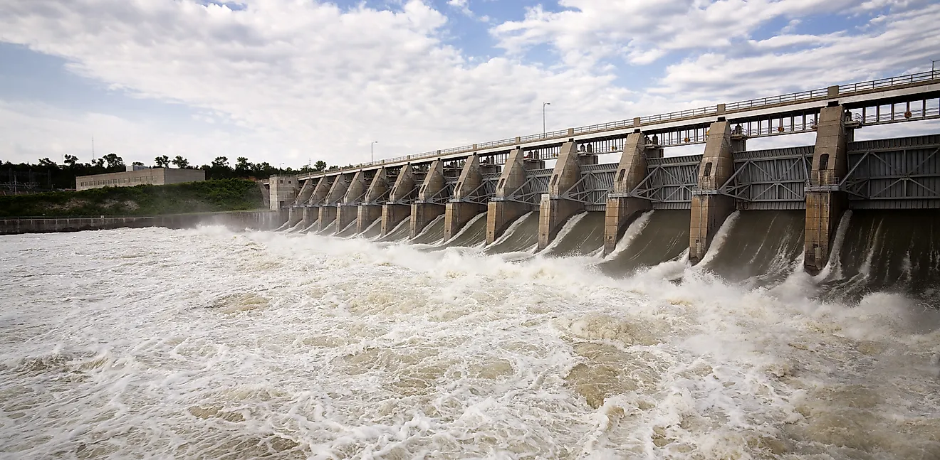
Locks and dams maintain navigation on the Upper Mississippi, while levees and floodways reduce flood risk farther south. Louisiana's Old River Control Structure handles an even more unusual problem. USGS explains that it prevents the Atchafalaya River from capturing the Mississippi and keeps about 70% of the combined flow in the present Mississippi channel.
The Nile's best-known control point is the Aswan High Dam. Completed in 1970, it created Lake Nasser, stores water for dry periods, and generates hydroelectricity. NASA reports that the dam virtually eliminated the danger of the great annual floods downstream in Egypt.
The engineering reflects two very different river-management challenges. Mississippi projects keep a heavily used navigation route open while restraining a channel that naturally shifts across its floodplain. Nile dams capture strongly seasonal water so it can be released more consistently. In each case, infrastructure changed river behavior on a continental scale.
The Mississippi And Nile Built Very Different Deltas
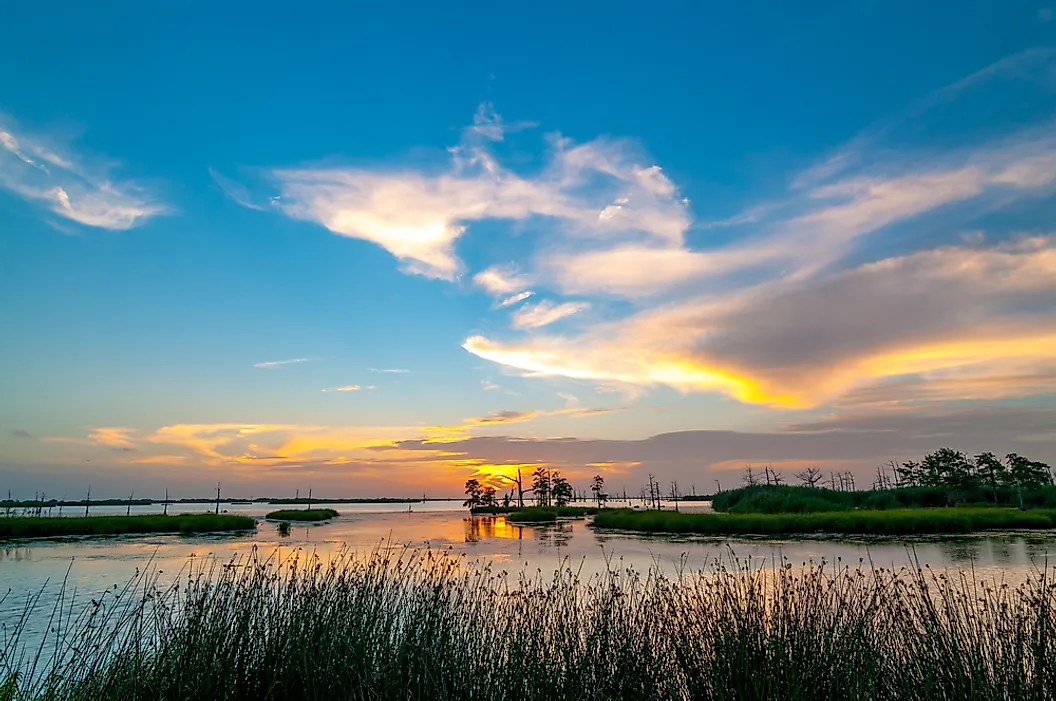
At their mouths, sediment produces two unmistakably different coastlines. NASA describes the active Mississippi Delta as a bird's-foot shape, with long distributary channels projecting into the Gulf. The Nile reaches the Mediterranean through a broad, fan-shaped delta covered by cities and intensive agriculture.
Both now receive less sediment than they once did. USGS estimates that the Missouri-Mississippi system transported about 400 million metric tons of sediment annually before 1900. That fell to about 145 million tons per year during 1987 to 2006. Dams, bank protection, erosion controls, and other engineering all contributed. Research published in PLOS ONE found that the Aswan High Dam produced a drastic reduction in sediment delivery to the Nile Delta.
The shortage matters because delta land naturally subsides while sea level rises. The Mississippi and Nile may look completely different at the coast, but fresh sediment remains crucial to the long-term stability of both low-lying landscapes.
So Which River Is Bigger?
The answer depends entirely on what is being measured. The Nile is clearly longer, at about 4,160 miles compared with 2,350 miles for the named Mississippi. Counting the Missouri headwater route narrows that difference considerably, but the Nile still leads. Their drainage basins are nearly equal, each covering roughly 1.2 million square miles.
Water volume flips the result. The Mississippi's average discharge near its mouth is several times the Nile's historical flow at Aswan. Their human roles differ just as sharply. Commercial navigation gives the Mississippi extraordinary importance to American freight and grain exports, while irrigation takes the dominant share of Nile water use. Even their deltas tell different stories, with narrow Mississippi distributaries reaching into the Gulf and the Nile spreading across a broad Mediterranean plain. The best comparison is therefore not about declaring one river greater. Length favors the Nile, while discharge and freight capacity give the Mississippi some impressive advantages of its own.