Where Are The Straits Of Florida?
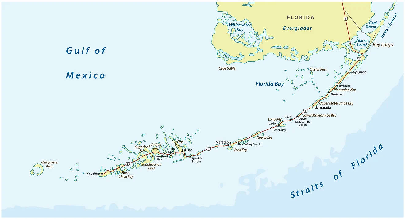
By definition, a strait refers to a narrow water channel that is formed by natural means and acts as a link between two larger water bodies. Normally, a strait lies between two large landmasses. Also known as the Florida Strait or the Florida Straits, the Straits of Florida is located in the south-southeast region of the mainland of North America. Specifically, the strait lies between the Atlantic Ocean (on the south) and the Gulf of Mexico (on the north) and between Cuba and Florida Keys in the US. The strait has a maximum width of around 93 miles and an average depth of about 5,900 feet. The narrowest point is between the Cuban shore and the island of Key West. Aside from oil and gas wells, the strait also serves to carry the Florida current all the way from the Gulf of Mexico.
Exploration
History records show that Ponce de Leon, a Spanish explorer, was the first to sail the strait back in 1513. After that, a number of other Spanish ships followed suit. In 1622, a Spanish fleet left Havana for Spain while heavily loaded with treasures such as emeralds and gold for the Spanish empire. A hurricane assailed the fleet within the strait and eight vessels ended up in the bottom of the ocean. The vessels also had other challenges with navigation since the strait is full of hazardous reefs. Some of the ships included the Santa Margarita and the Nuestra Senora de Atocha. The latter was eventually recovered and found to have treasures worth a whopping $300,000,000.

Oil And Gas
Between 1947 and 1962, five wells were dug by American companies (such as Gulf Oil) in American waters. The Exclusive Economic Zones of the US and Cuba are separated by a border, which is halfway between Florida and Cuba as determined by a treaty that was signed back in 1977. On the other hand, Cuba has three wells within its territorial waters. Estimates from the US Geological Survey place the reserves within the North Cuba Basin at around 5,500,000,000 barrels of petroleum and natural gas at 9.8 trillion cubic feet. Almost all of the Cuban reserves are offshore.
In 2008, Cuba signed an agreement with a Brazilian exploration company called Petrobas for drilling in the northern shores of the nation. A year later, in 2009, Cuba signed another agreement with the Russian government to give drilling rights to a company called Zarubezhneft. In 2011, Petrobas withdrew from the agreement.


