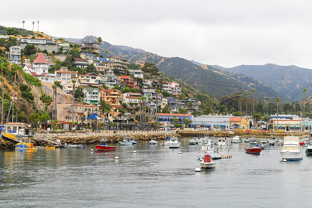
Gulf Coast Of The United States
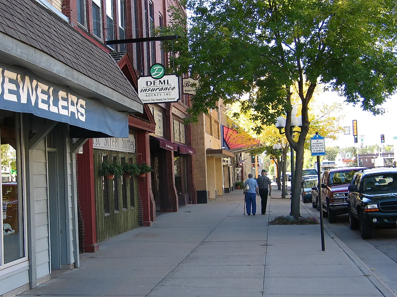
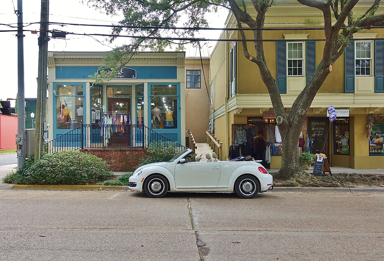
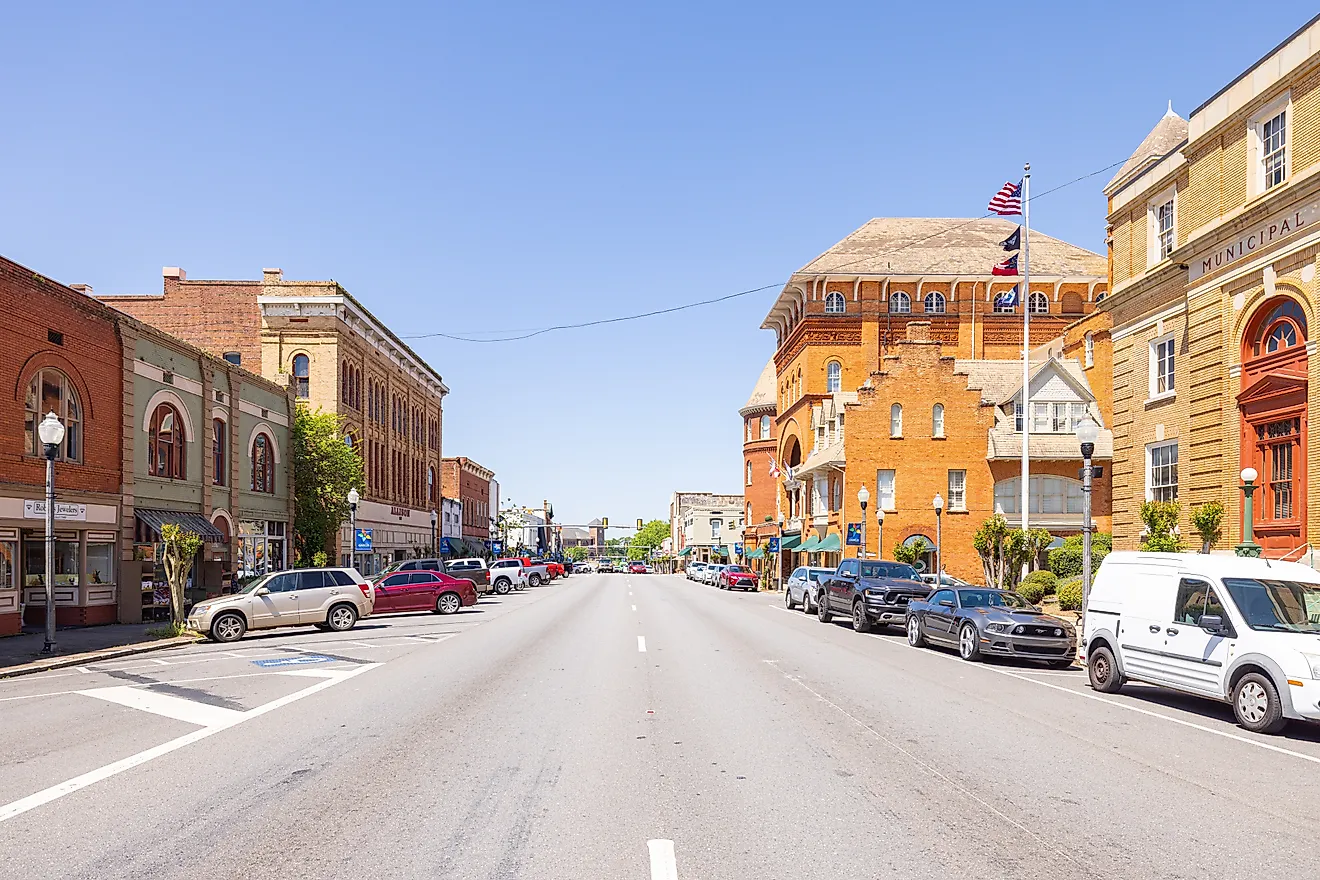
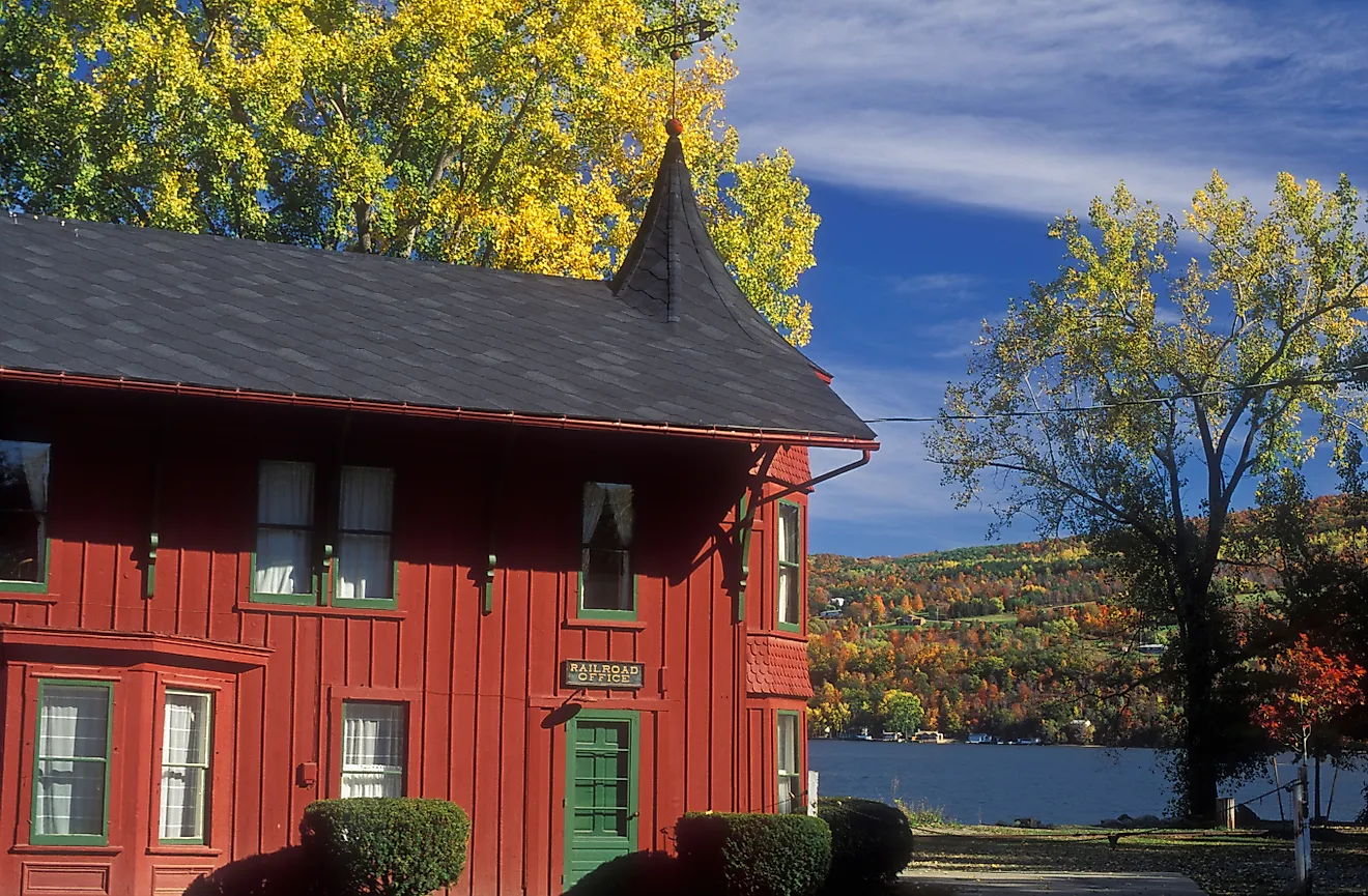
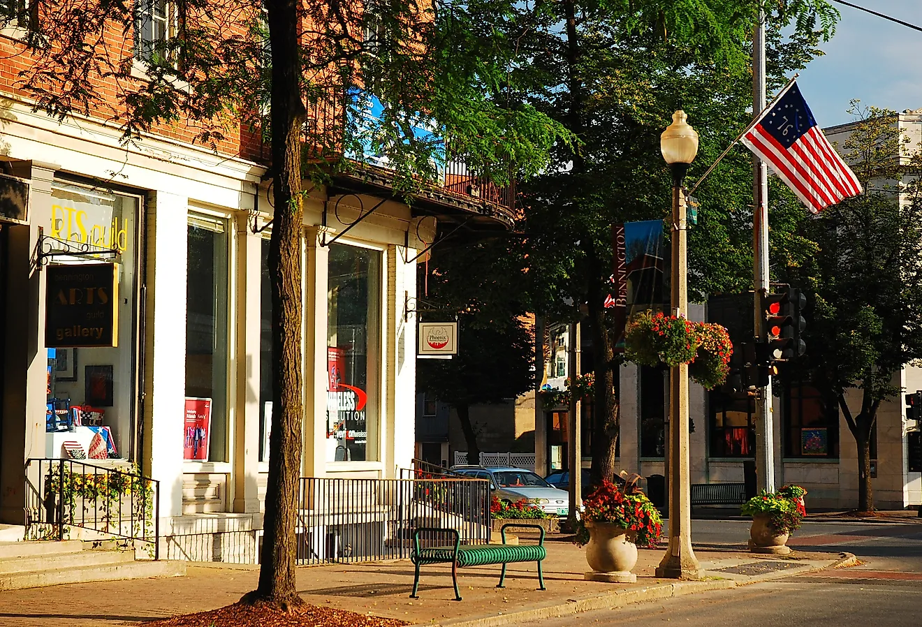
The Gulf Coast of the United States is a coastline area that consists of the southernmost states: Texas, Louisiana, Mississippi, Alabama, and Florida. Each of these states are located along the southern coast, and are known as the Gulf States since they border the Gulf of Mexico. Major Cities:Of the five states that sit along the Gulf Coast, there are a number of large cities, many of which have major ports and/or high populations. In the east, in Florida, cities include Tampa, St. Petersburg, Navarre, and Pensacola. Alabama has Mobile, while Biloxi is located in Mississippi, as is coastal Gulfport. Louisiana’s main coastal cities include New Orleans, Baton Rouge, Lafayette, and Lake Charles. There are also six major coastal cities in Texas, which include Beaumont, Galveston, Houston, which is one of the state’s largest cities, Corpus Christi, and Brownsville.
Geography Of The Gulf Coast

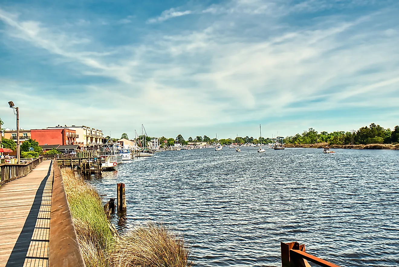
The Gulf Coat has a number of lagoons, bays, inlets, and rivers which intersect and carve into its shoreline. Much of this shoreline is marsh or wetland, especially in the central part of the coast, from east Texas to Loiusiana. To the east, there are more bays and inlets, especially along the coast of Florida and the Florida peninsula. The westernmost portion of the Gulf Coast has numerous barrier islands and peninsulas, such as the Padre Island of Texas. The barrier islands create and protect many of the inlets which lie along the coast.
Just inland from the coast is the Gulf Coastal Plain, and this stretches from the Florida Panhandle to Southern Texas.
Economy And Industry In The Gulf Coast

The major industries in the Gulf States are predominantly related to energy, petrochemicals, agriculture, fishing, and tourism. This is due in large part to their location which has access to the gulf itself, including the water access for fishing and offshore oil and energy opportunities. Similarly, the states along the Gulf Coast have warmer climates and coastal landscapes which attract large amounts of tourism, especially in beach-front areas.
Climate In The Gulf Coast

Most of the Gulf Coast is a humid subtropical climate, with the exception of southern Florida, which becomes a fully tropical climate. Subtropical climates are warm or hot for much of the year, with a cool winter period.
The region is highly susceptible to flooding and hurricanes, as well as severe thunderstorms. Usually summer months of July and August experience the most precipitation or subtropical rain storms caused by warm temperatures and high humidity. Similarly, tropical weather patterns from offshore can bring tropical storms and hurricanes. These cases of extreme rainfall and tropical weather systems can produce 10 to 25 cm or more of rain in a single day, which can cause massive problems to the cities in this area, including flash flooding.
Hurricane Harvey was one of the more destructive hurricanes in recent history and occurred in August of 2017 . It touched land in central Texas before pausing over Houston for a number of days, causing extreme rain, wind and water damage to the city. Some 1,000 mm of rain fell during this time.
The central Gulf Coast does experience winter rains as well, but areas to the south east, such as Florida, as well as south Texas have much drier winter seasons. The Gulf states are also known to experience tornadoes, though these do not occur in the coastal regions, but the inland portion of some of these states.
Despite these weather concerns, the Gulf of the United States remains a popular destination for both tourists and permanent residents, and includes a flourishing array of major southern U.S. cities.