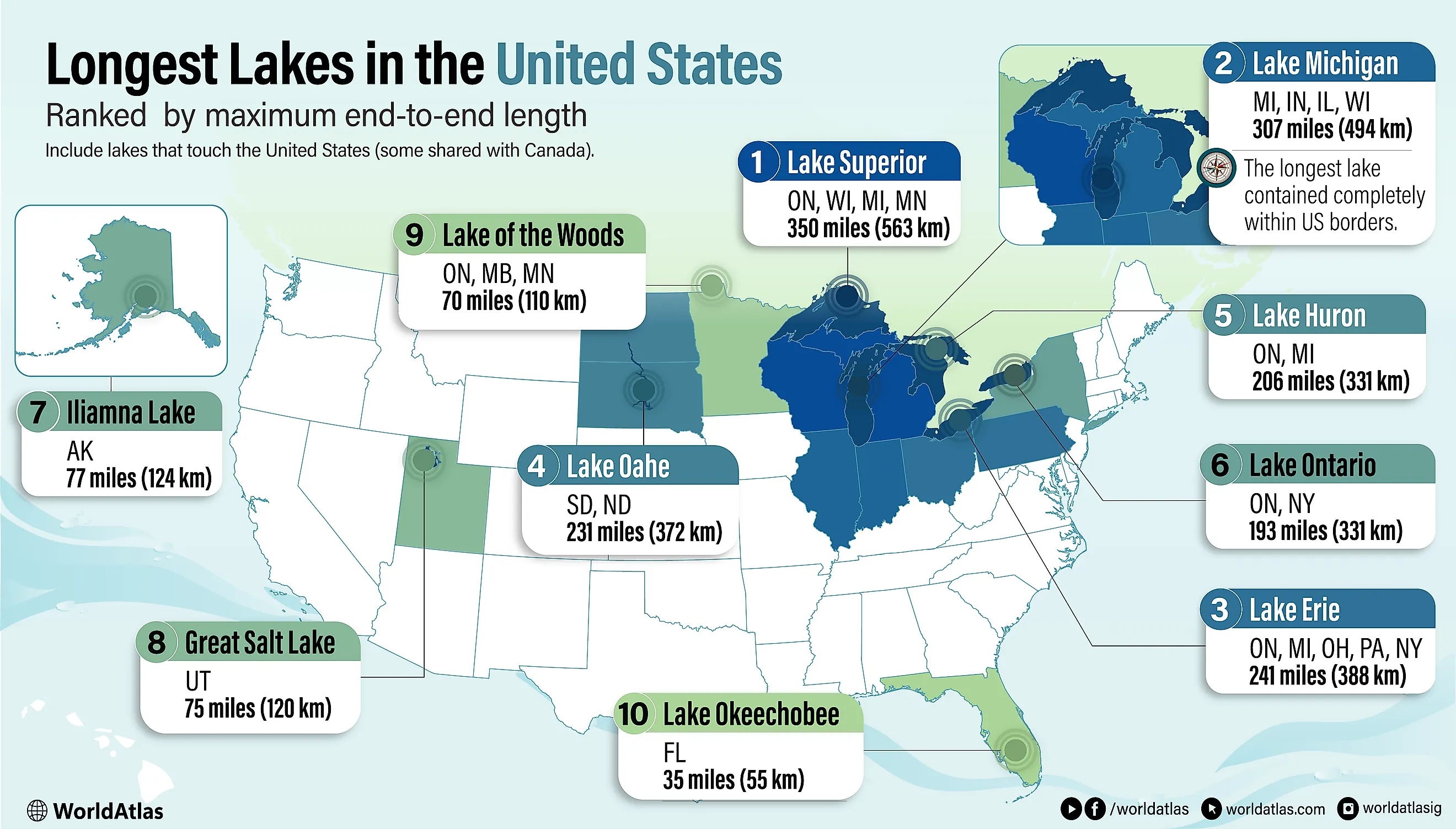
The Longest Lakes in the US
Some lakes feel endless on a map, the kind where “across” becomes a real distance. A lake is “long” here when its farthest end-to-end distance runs the greatest span across open water. The list below ranks 10 lakes that touch the United States by maximum end-to-end length in miles, with kilometers in parentheses, covering the Great Lakes, major inland waters, and a few standout reservoirs. Lake Superior leads at 350 miles, and the lineup reaches from the U.S.-Canada border to Lake Oahe, a Missouri River reservoir stretching between Pierre and Bismarck. Length matters for map sense and planning; it hints at crossing times, boating range, and the scale of shoreline drives around a single waterbody.
1. Lake Superior - 350 Miles (563 Kilometers)

Lake Superior is the largest of the Great Lakes, measuring 350 miles (563 kilometers) in length from east to west. It is bordered by Ontario to the north and east, Wisconsin and Michigan to the south, and Minnesota to the west. Lake Superior is fed by around 200 rivers. Its largest tributaries include the Nipigon River to the north and the St. Louis River to the west.
Lake Superior was formed roughly 1.1 billion years ago from the Midcontinental Rift, which occurred when the continent of North America was splitting apart. During this time, lava poured out of the earth’s crust, forming flood basalts that are only present in the Lake Superior region. The depression left in the earth by the Midcontinental Rift was later filled with meltwater by retreating glaciers, which is known today as Lake Superior.
2. Lake Michigan - 307 Miles (494 Kilometers)

As the only one of the Great Lakes contained entirely within the United States, Lake Michigan has shorelines on Michigan to the north and east, Indiana to the southeast, Illinois to the southwest, and Wisconsin to the west. From north to south, it spans a total distance of 307 miles (494 kilometers). Roughly 100 streams flow into Lake Michigan, yet only a few of them are of a significant size.
Lake Michigan occupies a basin influenced by ancient bedrock structures but primarily carved by continental glaciers, which later filled it with meltwater.
3. Lake Erie - 241 Miles (388 Kilometers)

Although the smallest of the Great Lakes in volume, Lake Erie measures 241 miles (388 kilometers) from west-southwest to east-northeast. It forms a natural boundary between Ontario to the north, and Michigan, Ohio, Pennsylvania, and New York to the east, south, and west. Water enters Lake Erie from the west through the Detroit River and exits through the Niagara River in the east. Other important tributaries of Lake Erie are the Buffalo, Maumee, Grand, Sandusky, Huron, and Cuyahoga Rivers. Lake Erie was formed by huge glaciers that advanced and retreated from the area, creating the lake’s coastlines, which consist of ridges, sand dunes, and glacial grooves.
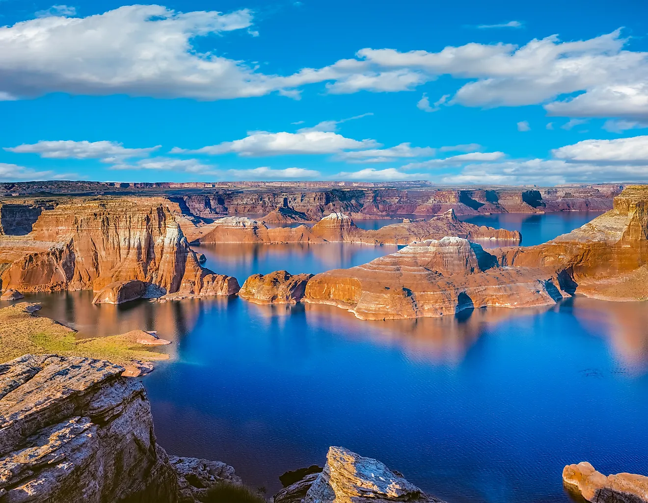
4. Lake Oahe - 231 Miles (372 Kilometers)

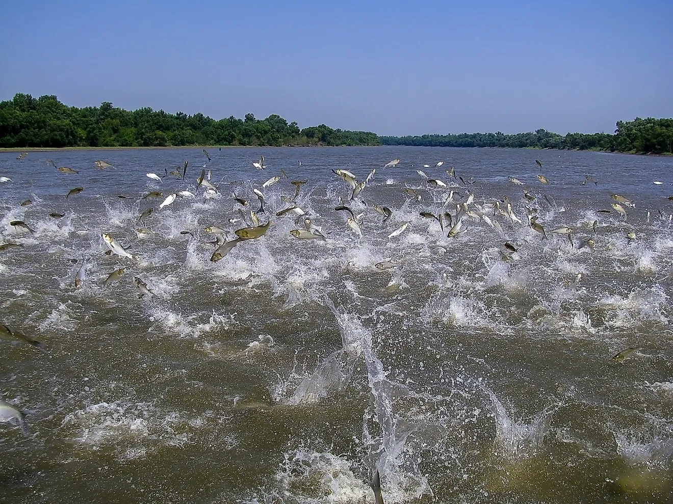
Lake Oahe is a man-made reservoir that was created by the Oahe Dam on the Missouri River. The long and thin reservoir extends upriver for 231 miles (372 kilometers) between Pierre, South Dakota, and Bismarck, North Dakota. It is the fourth-largest man-made reservoir in North America. Its uncharacteristically long and narrow shape is a result of the damming and flooding of the Missouri River. However, since the lake is a storage reservoir, its water volume fluctuates regularly, especially during periods of long droughts. This has resulted in the lake shrinking and exposing weedy mudflats and leaving boat ramps stranded about 1.2 miles (2 kilometers) from shore.
5. Lake Huron - 206 Miles (331 Kilometers)

From its northwest shore to its southeast shore, Lake Huron measures 206 miles (331 kilometers) long. It is bordered by Ontario to the north and east, and Michigan to the south and west. Lake Huron is fed from Lake Superior through the St. Marys River and from Lake Michigan through the Straits of Mackinac, as well as other streams draining the surrounding watershed. Lake Huron contains notable features on its long surface, including Mackinac Island, the rocky shores of Bruce Peninsula, and Manitoulin Island, the world’s largest freshwater island. Like the other Great Lakes, Huron was formed by large glaciers carving deep troughs into the bedrock and subsequently filling the lakes with their meltwater.
6. Lake Ontario - 193 Miles (311 Kilometers)

As the smallest of the Great Lakes, Lake Ontario extends 193 miles (311 kilometers) from east to west. It is bordered by Ontario to the north and New York to the south. The main feeder of Lake Ontario is the Niagara River. Other tributaries of the lake include the Genesee, Oswego, and Black Rivers to the south, and the Trent River to the north. Lake Ontario began as a small stream that consistently widened through the erosion of soft Silurian rocks thousands of years ago. Due to the movement of glacial continental ice sheets, the river was further widened and sculpted until the current level and shape of Lake Ontario as seen today was achieved.
7. Iliamna Lake - 77 Miles (124 Kilometers)

Iliamna Lake is the largest lake entirely within the boundaries of a single state. Although it is the largest lake in Alaska, it is the second-largest freshwater lake located entirely within one U.S. state. Iliamna Lake measures 77 miles (124 kilometers) and drains into Bristol Bay and the Bering Sea through the Kvichak River. The primary inflows of Iliamna Lake are the Newhalen, Iliamna, Pile, and Copper Rivers.
8. Great Salt Lake - 75 Miles (120 Kilometers)

Unlike the other lakes on this list, the Great Salt Lake contains saltwater rather than freshwater. This makes it the largest inland body of saltwater in the Western Hemisphere, and one of the most saline bodies of water on earth. The Great Salt Lake is 75 miles (120 kilometers) across Utah’s arid environment. The Great Salt Lake was formed following the evaporation of the Ice Age Lake Bonneville. Water enters the Great Salt Lake through the Bear, Weber, and Jordan Rivers; however, there is no outlet. Therefore, water only leaves the Great Salt Lake when it evaporates, leaving behind minerals and salt, making the Great Salt Lake anywhere from 2 to 7 times brinier than the ocean.
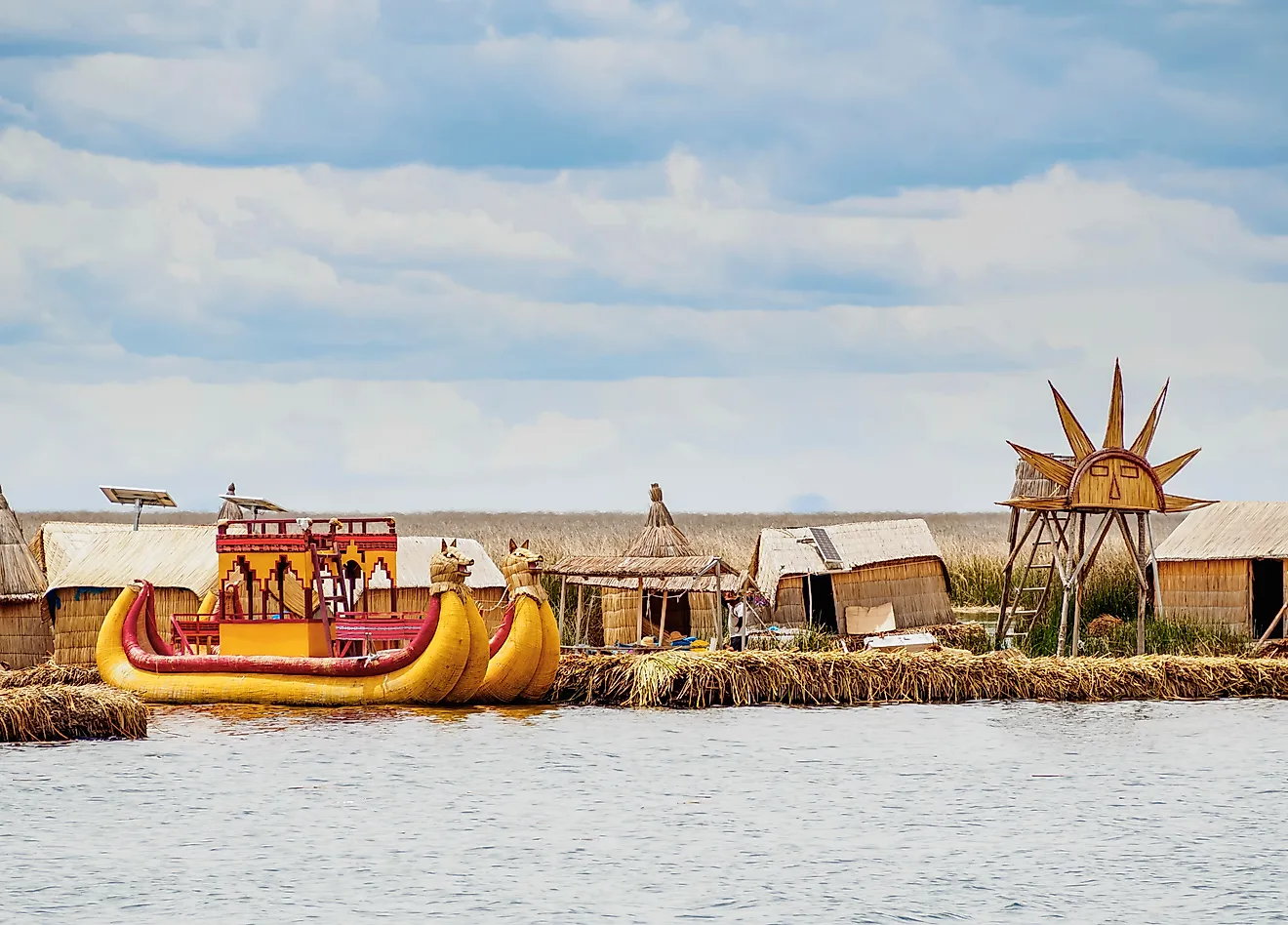
9. Lake of the Woods - 70 Miles (110 Kilometers)

Lake of the Woods is located where the Canadian provinces of Ontario and Manitoba, as well as the state of Minnesota, meet. It measures 70 miles (110 kilometers) long. The main feeder of the Lake of the Woods is from the Rainy River on the southeast of the lake. The lake then drains through the Winnipeg River into Lake Winnipeg. It was formed over 10,000 years ago when receding glaciers carved it into the granite of the Canadian Precambrian Shield. The lake lies on Precambrian Canadian Shield bedrock, which includes some of the oldest rocks on Earth.
10. Lake Okeechobee - 35 Miles (55 Kilometers)

Lake Okeechobee is the largest freshwater lake in Florida and the third-largest freshwater lake wholly within the United States. The lake extends 35 miles (55 kilometers) along its northern edge at the edge of the Everglades. The main source of the lake is the Kissimmee River. Geologists estimate that Lake Okeechobee formed 6,000 years ago when ocean waters from the prehistoric Pamlico Sea receded, leaving behind trapped water in a shallow depression that became the lake bed.
The Geography Behind America’s Longest Lakes
Across the United States, these long lakes support drinking-water systems, shipping and fisheries, wetland habitat, and boating and shoreline tourism. The lengths of these lakes are a reminder of natural forces that shaped the United States’ landscape. Regardless of the regions they stretch across, these lakes remain part of the nation’s ecology, commerce, and recreation.