Maps of Indiana

Indiana, a state located in the Midwestern United States, shares its northern boundary with Lake Michigan, while it is bordered by Michigan to the north, Ohio to the east, Kentucky to the south, and Illinois to the west. The total area of Indiana spans approximately 36,418 mi2 (94,326 km2), characterizing it as the 38th largest state in the United States. From north to south, Indiana's geography is divisible into three distinct regions: the Northern Great Lakes Plains, the Central Till Plains, and the Southern Plains and Lowlands.
Indiana, from north to south, is divisible into three primary geographic regions:
Northern Great Lakes Plains: This region, situated in the northernmost part of Indiana, is distinguished by its proximity to Lake Michigan and the associated Morainal Complexes. These complexes are characterized by their undulating topography, formed by glacial deposits. The region also includes various drainageways and valleys, particularly those carved by retreating glaciers. Notably, the Indiana Dunes, located along the shores of Lake Michigan, are a prominent feature of this region, offering a unique landscape of sandy dunes and wetlands.
Central Till Plains: Occupying the central portion of Indiana, the Central Till Plains are defined by gently rolling plains. This area, primarily consisting of fertile soils, is a result of glacial till deposits from the Ice Age. Within this region, the valleys and drainageways provide a natural drainage network for the state. One of the most significant features of this region is Hoosier Hill, the highest point in Indiana, located in Wayne County. Hoosier Hill reaches an elevation of 1,257 feet (383 meters) above sea level, standing as a notable landmark within the Central Till Plains.
Southern Plains and Lowlands: Transitioning to the southern part of the state, the Southern Plains and Lowlands are marked by a more varied topography. This region encompasses plateaus, uplands, and rolling hills, descending into fertile lowlands as one moves further south. The landscape here is a result of both erosional processes and sediment deposits from ancient water bodies. The Ohio River, forming the southern boundary of Indiana, is a significant geographical feature of this region, offering a distinct contrast to the upland areas. The lowest point in Indiana is found at the confluence of the Ohio River and the Wabash River, at an elevation of 320 feet (98 meters) above sea level.
Major Bodies of Water: Throughout Indiana, major rivers like the Wabash, White, and Tippecanoe play a critical role in shaping the state's geography. Additionally, several man-made and natural lakes, including Lake Monroe and Lake Wawasee, contribute to the diverse aquatic landscapes of Indiana.
Counties Map
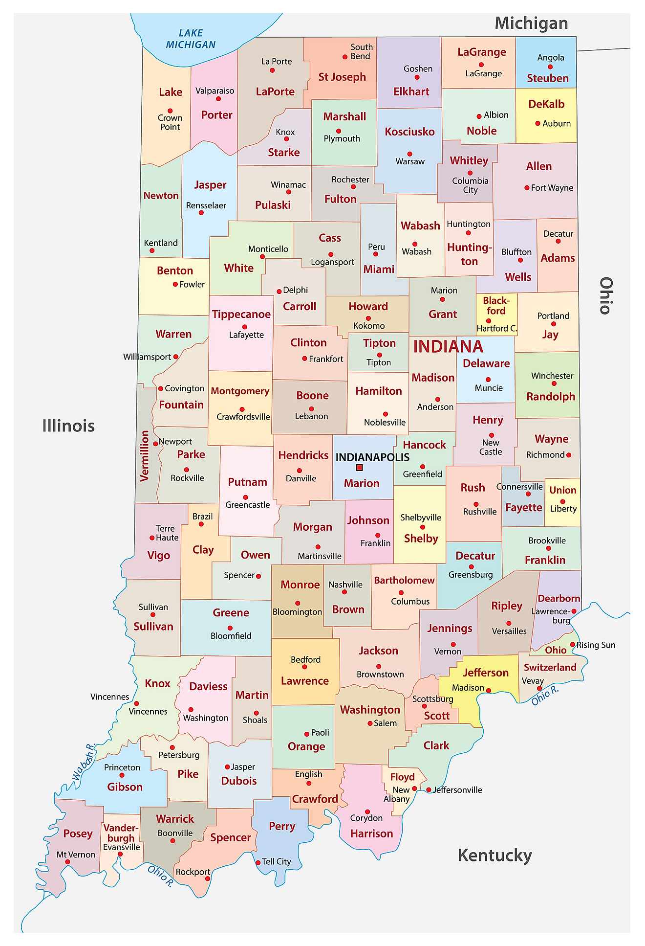
The State of Indiana is divided into 92 counties. In alphabetical order, these counties are: Adams, Allen, Bartholomew, Benton, Blackford, Boone, Brown, Carroll, Cass, Clark, Clay, Clinton, Crawford, Daviess, Dearborn, Decatur, DeKalb, Delaware, Dubois, Elkhart, Fayette, Floyd, Fountain, Franklin, Fulton, Gibson, Grant, Greene, Hamilton, Hancock, Harrison, Hendricks, Henry, Howard, Huntington, Jackson, Jasper, Jay, Jefferson, Jennings, Johnson, Knox, Kosciusko, La Porte, Lagrange, Lake, Lawrence, Madison, Marion, Marshall, Martin, Miami, Monroe, Montgomery, Morgan, Newton, Noble, Ohio, Orange, Owen, Parke, Perry, Pike, Porter, Posey, Pulaski, Putnam, Randolph, Ripley, Rush, Scott, Shelby, Spencer, St Joseph, Starke, Steuben, Sullivan, Switzerland, Tippecanoe, Tipton, Union, Vanderburgh, Vermillion, Vigo, Wabash, Warren, Warrick, Washington, Wayne, Wells, White, and Whitley.
With an area of 94,321 sq. km, Indiana is the 38th largest and the 17th most populous state in the USA. Located near the center of the state at the confluence of Fall Creek and White River is Indianapolis – the capital, largest, and the most populated city of Indiana. It serves as an administrative, cultural, and economic center of the state. The world’s largest children’s museum is found in Indianapolis, which occupies over 40,227 sq.m of exhibition space and showcases more than 120,000 artifacts.
Where is Indiana?
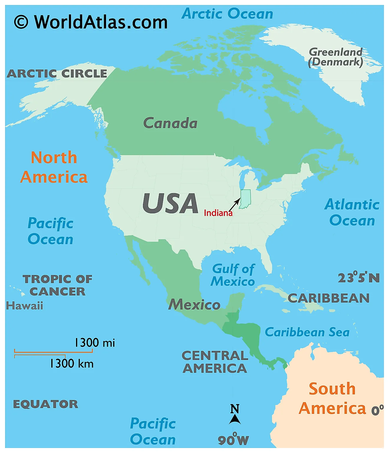
The State of Indiana is located in the East-North-Central (Midwest and Great Lakes) region of the United States. It is geographically positioned both in the Northern and Western hemispheres of the Earth. Indiana is bordered by Michigan in the north; by Ohio in the east; by the Ohio River and Kentucky in the south and southeast; by the Wabash River and Illinois in the west; and by Lake Michigan in the northwest.
Regional Maps: Map of North America
Outline Map of Indiana
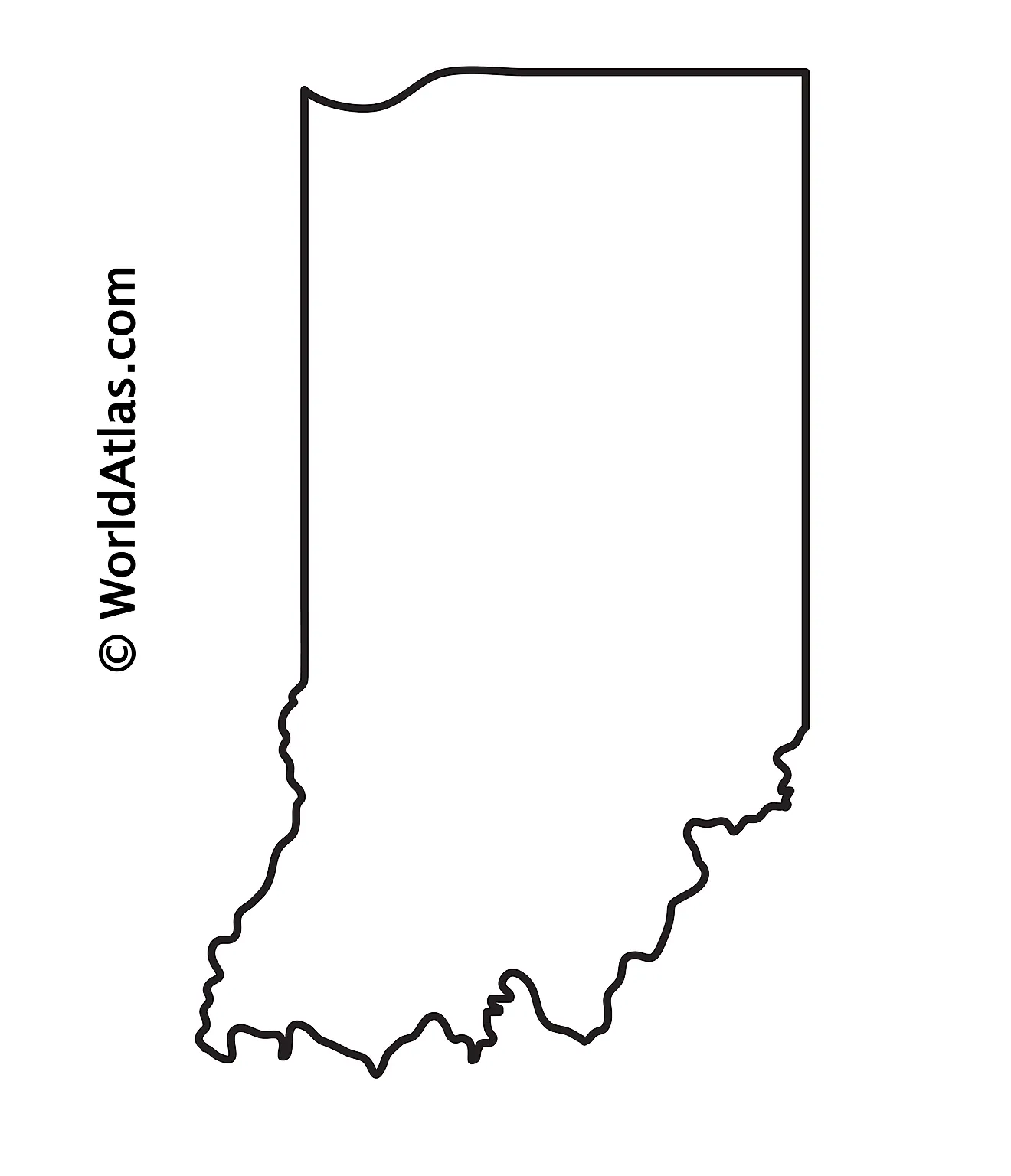
The above blank map represents the State of Indiana, located in the East-North-Central (Midwest and Great Lakes) region of the United States. The above map can be downloaded, printed and used for geography education purposes like map-pointing and coloring activities.
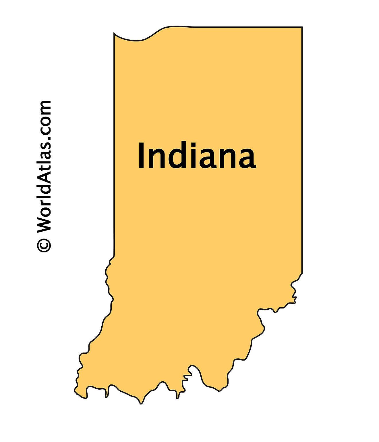
The above outline map represents the State of Indiana, located in the East-North-Central (Midwest and Great Lakes) region of the United States.
Key Facts
| Legal Name | State of Indiana |
|---|---|
| ISO 3166 Code | US-IN |
| Capital City | Indianapolis |
| Major Cities |
|
This page was last updated on January 18, 2024
