Maps of Illinois

Illinois, a state in the Midwestern United States, shares its borders with Wisconsin to the north, Indiana to the east, and the Mississippi River forms its western border with Iowa and Missouri. To the south, it meets Kentucky by the Ohio and Mississippi Rivers. The state encompasses a total area of 57,915 mi2 (149,997 km2).
Illinois, from north to south, is divisible into three primary geographic regions:
Northern Illinois predominantly features rolling hills and valleys. This region includes the Driftless Area, a section that escaped glaciation during the last ice age, resulting in a unique topography of steep hills and deep river valleys. The highest point in Illinois, Charles Mound, with an elevation of 1,235 feet (376 meters), is located in this region near the city of Galena.
Central Illinois is characterized by its flat prairie lands, a part of the larger Interior Plains. This region is quintessential for its classic Midwest prairie landscape, featuring vast expanses of flat land with minimal elevation changes. It transitions from the hilly north to the flatter southern landscapes and is defined by its rich, fertile soils.
Southern Illinois stands out with the Shawnee Hills, an area that marks the beginning of the Ozark and Ouachita Mountains. This region is more rugged and forested compared to the northern and central parts. The lowest point in the state, at the confluence of the Mississippi River and the Ohio River, lies in this region, with an elevation of 96 meters (315 feet).
Bodies of Water: Major bodies of water in Illinois include the Mississippi River, which forms its western boundary, and the Ohio River delineating its southern border. Lake Michigan, one of the five Great Lakes, lies to the northeast and is a prominent feature in the Chicago metropolitan area. The Illinois River, a significant tributary of the Mississippi, flows through much of the state, providing vital waterways for transportation and agriculture.
Counties Map
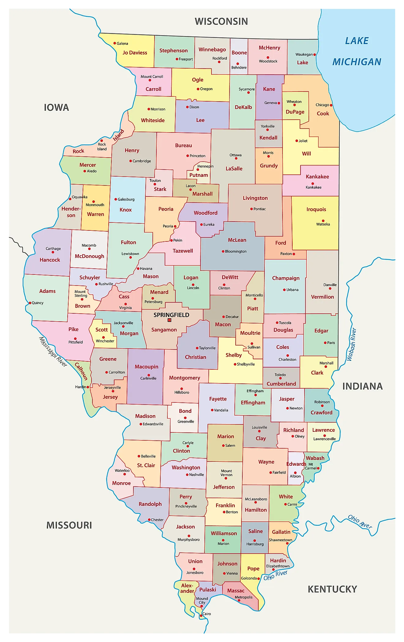
The State of Illinois is divided into 102 counties. In alphabetical order, these counties are: Adams, Alexander, Bond, Boone, Brown, Bureau, Calhoun, Carroll, Cass, Champaign, Christian, Clark, Clay, Clinton, Coles, Cook, Crawford, Cumberland, DeKalb, Dewitt, Douglas, DuPage, Edgar, Edwards, Effingham, Fayette, Ford, Franklin, Fulton, Gallatin, Greene, Grundy, Hamilton, Hancock, Hardin, Henderson, Henry, Iroquois, Jackson, Jasper, Jefferson, Jersey, Jo Daviess, Johnson, Kane, Kankakee, Kendall, Knox, La Salle, Lake, Lawrence, Lee, Livingston, Logan, Macon, Macoupin, Madison, Marion, Marshall, Mason, Massac, McDonough, McHenry, McLean, Menard, Mercer, Monroe, Montgomery, Morgan, Moultrie, Ogle, Peoria, Perry, Piatt, Pike, Pope, Pulaski, Putnam, Randolph, Richland, Rock Island, Saint Clair, Saline, Sangamon, Schuyler, Scott, Shelby, Stark, Stephenson, Tazewell, Union, Vermilion, Wabash, Warren, Washington, Wayne, White, Whiteside, Will, Williamson, Winnebago, and Woodford.
With an area of 149,997 sq. km, Illinois is the 25th largest and the 6th most populous state in the USA. Located in the central part of the state along the shores of the Sangamon River is Springfield – the capital city of Illinois. It serves as a major financial and retail center of the state. Situated in the northeastern part of the state along the shores of Lake Michigan is Chicago – the largest and the most populous city in Illinois and the 3rd most populous city in the United States. It serves as a major international hub for culture, education, finance, commerce, international trade, industry, telecommunications, and transport. The Chicago Metropolitan Area is the world’s 4th largest metropolitan area.
Where is Illinois?
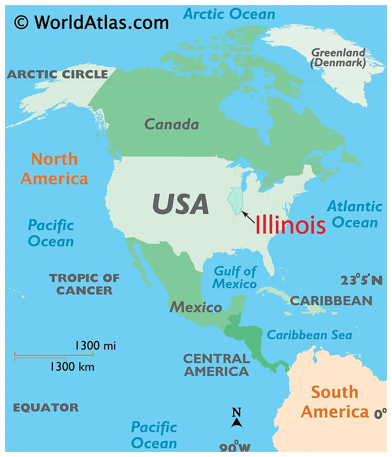
The State of Illinois is located in the East-North-Central (Midwest and Great Lakes) region of the United States. Illinois is bordered by the state of Indiana in the east; by Kentucky in the southeast; by Missouri in the west; by Iowa in the northwest and by Wisconsin in the north. It is also bounded by Lake Michigan in the northeast.
Regional Maps: Map of North America
Outline Map of Illinois
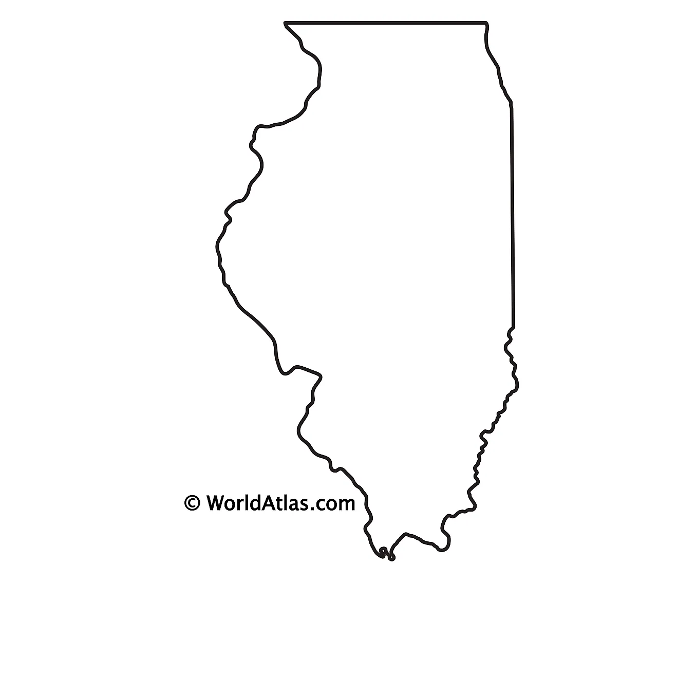
The above blank map represents the State of Illinois, located in the East-North-Central (Midwest and Great Lakes) region of the United States. The above map can be downloaded, printed and used for geography education purposes like map-pointing and coloring activities.
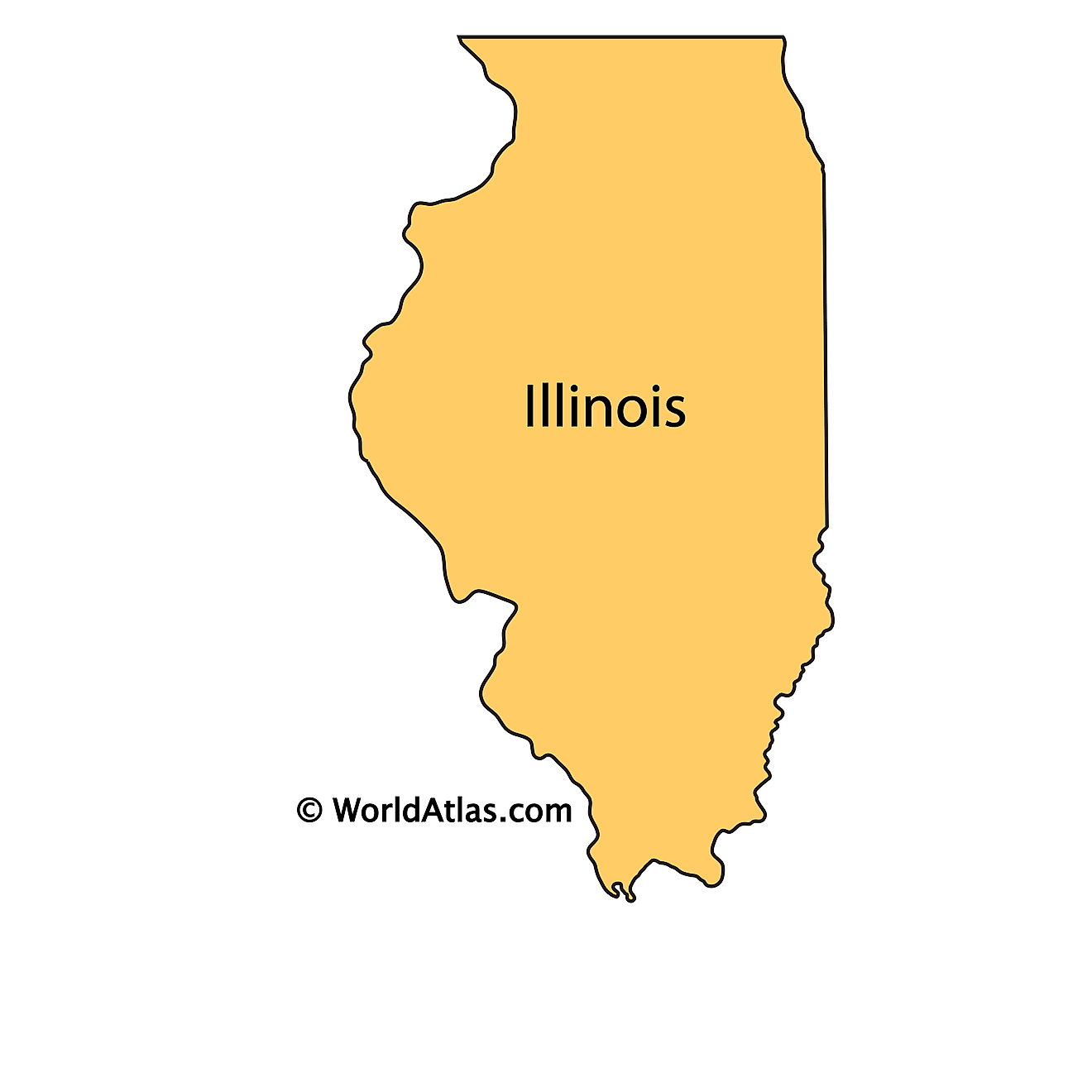
The above outline map represents the State of Illinois, located in the East-North-Central (Midwest and Great Lakes) region of the United States. Illinois has been nicknamed as “The Prairie State” in reference to the landscape of rolling hills and prairies that occupy large areas of the state.
Key Facts
| Legal Name | State of Illinois |
|---|---|
| ISO 3166 Code | US-IL |
| Capital City | Springfield |
| Major Cities |
|
This page was last updated on January 18, 2024
