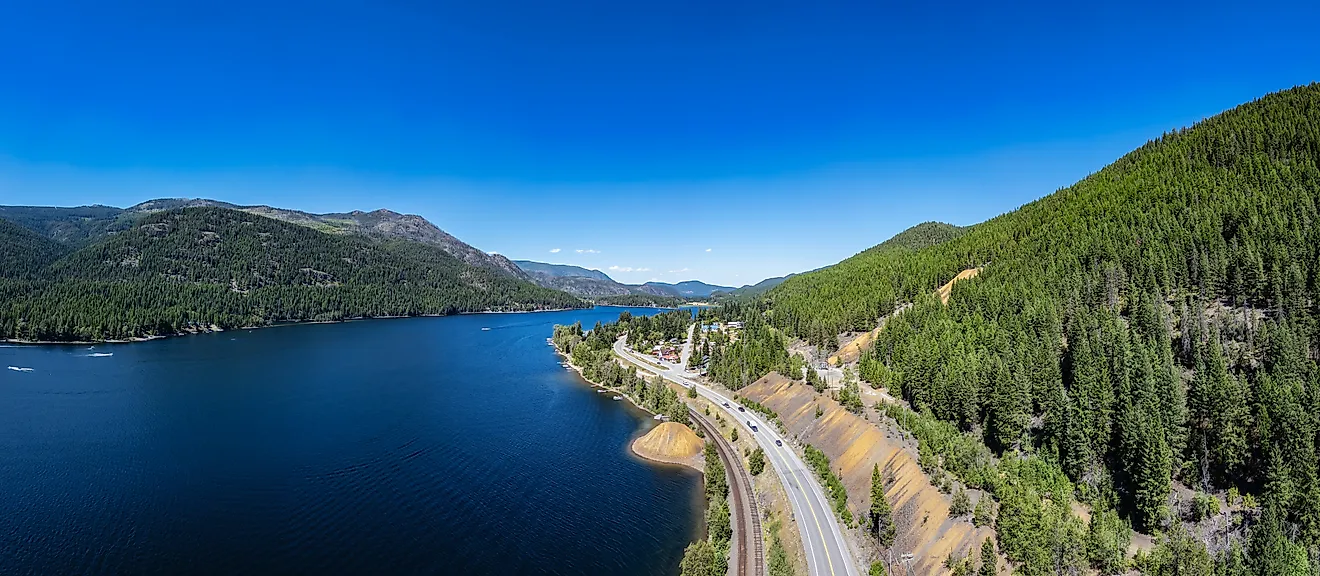
Straits Of Mackinac
A strait is defined as a narrow waterway that is bordered by landmasses and acts as a connecting link between two large bodies of water. Straits can be formed by the fracture of an isthmus or by the movement of tectonic plates. The Straits of Mackinac are positioned between the Upper and the Lower Peninsulas of the US state of Michigan and connect Lake Huron in the east with Lake Michigan in the west. The two lakes are often considered to be a single large lake and are referred to as Lake Michigan-Huron. When combined, Lake Michigan-Huron becomes the world’s largest freshwater lake by surface area and the fourth-largest lake by volume.
Geography

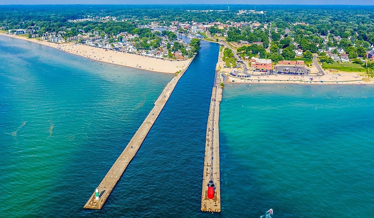
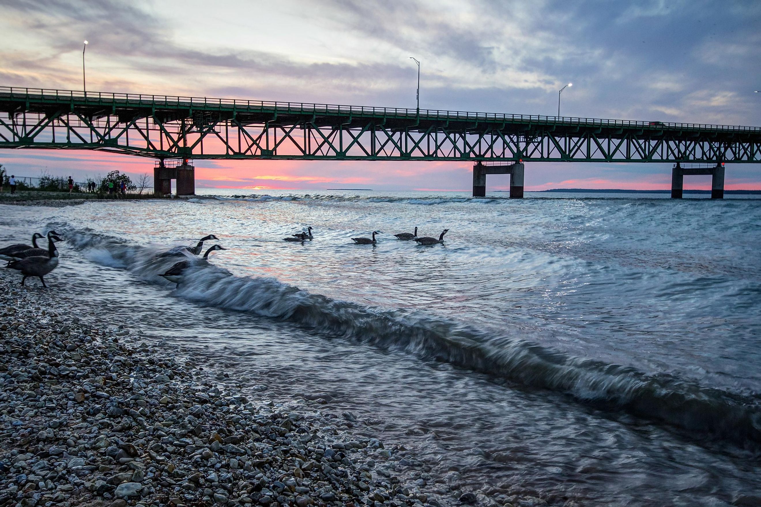
The Straits of Mackinac measure about 50 km in length and have a maximum width of only 5.6 km. The straits are relatively shallow and reach a maximum depth of 90 m. The Mackinac Bridge, the world’s 25th-longest suspension bridge, spans the Straits of Mackinac at its narrowest point, which has a width of only 8 km. There are four islands along the edges of the Straits of Mackinac including the inhabited islands of Bois Blanc and Mackinac, and the uninhabited islands of St. Helena and Round.
Brief History

The Straits of Mackinac region was originally settled by Indigenous peoples. They believed that the shape of Mackinac Island resembled that of a turtle and hence named it Mitchimakinak (“Big Turtle”) in the Ojibwe language. The British explored the island and shortened the island’s name to Mackinac. The Straits of Mackinac have hence been named after the island.
The straits were visited in 1634 by the French explorer Jean Nicolet. French colonists established a Catholic Mission at St. Ignace in 1671. The colonists also built Fort Michilimackinac in 1715 in Mackinaw City on the southern part of the Straits of Mackinac. The French fort was eventually replaced by the British fort, Fort Mackinac, which was built on Mackinac Island.
Economy

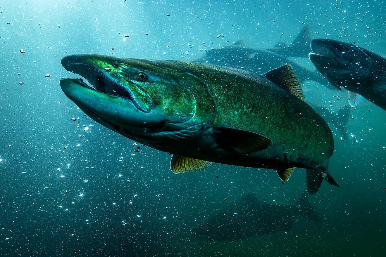
The Straits of Mackinac played a significant role in the fur trade and thereafter, it became an important shipping lane for the transport of various materials like iron ore and steel. Due to the shallow and narrow nature of the Straits of Mackinac, it freezes easily during the winter. Icebreakers are used during this time to facilitate smooth navigation during the freezing winter months. Mackinac Island and Bois Blanc Island can be accessed by car ferries, private boats, and also by snowmobiles during the winter season.
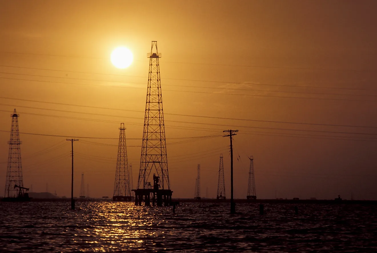
Established in 1953, the Enbridge Line 5 is an extension of the Interprovincial Pipe Line Company that runs near the Mackinac Bridge and transports about 540,000 barrels of oil daily from Canada’s Alberta Province to Lake Superior. The Straits of Mackinac are widely regarded as a dangerous area for navigation. Therefore, a major portion (about 380 km2) of the straits have been kept aside by the Michigan State and maintained as the Straits of Mackinac Shipwreck Preserve. This preserved area consists of over 11 identified shipwrecks among which Cedarville, Eber Ward, and Sandusky are most notable. Some famous lighthouses in the Straits of Mackinac area are the McGulpin Point Light, the Old Mackinac Point Light, and the Round Island Light. The Straits of Mackinac are currently daily monitored and patrolled by the United States Coast Guard that is based at Graham Point in St. Ignace. The Large USCGC Mackinaw Icebreaker is used by the Coast Guard to keep the straits navigable throughout the year.