Lakes With Islands That Contain Lakes
A lake large enough to contain an island large enough to hold its own lake is a rare geographic arrangement. The outer lake must be substantial enough to support large islands, and those islands must have enough interior terrain to collect and retain standing water. Most lakes are too small, most islands too narrow, and most depressions too shallow. But this phenomenon does occur, and when it does, the result is a landscape layered across multiple geographic scales, often with distinct ecologies at each level. Known as nested or recursive lake geography, it shows up in volcanic calderas in Southeast Asia, across the island-dense waters of the Great Lakes, and in shield-country lakes with thousands of islands. These places also tend to offer exceptional outdoor access, from paddling the interior lakes of Isle Royale to fishing the crater waters inside a Philippine volcano island.
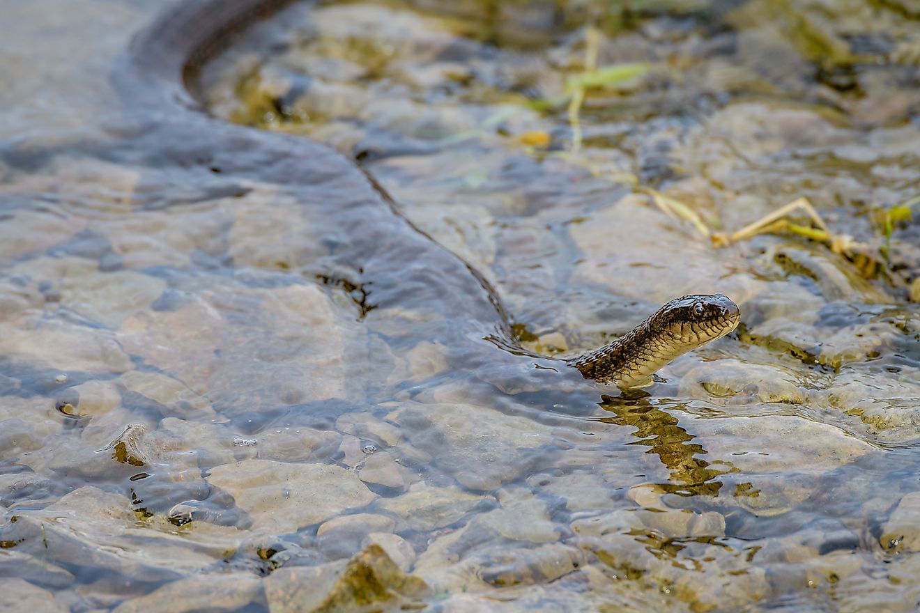
Taal Lake, Philippines

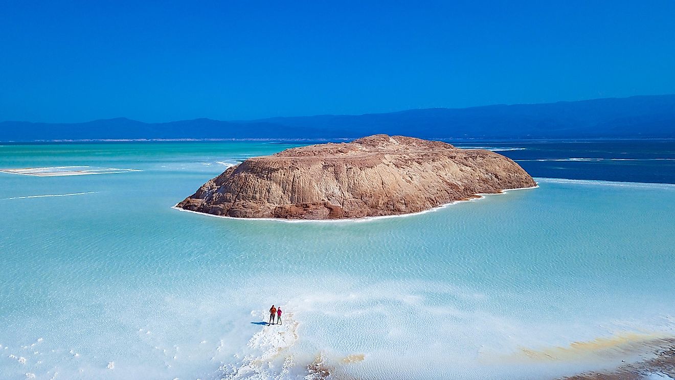
Taal Lake sits in a massive volcanic caldera on the island of Luzon in the Philippines, covering roughly 234 square kilometers. Rising from the lake is Taal Volcano Island, an active volcanic cone that is itself one of the most recognizable landmarks in the country. Within the crater of that volcano sits Main Crater Lake, also called Yellow Lake, a body of water roughly 1.2 kilometers across. This makes Taal Lake arguably the most famous example of recursive lake geography anywhere on Earth.
The layering goes even further. Main Crater Lake contains a small island called Vulcan Point, creating a sequence of lake, island, lake, island that is difficult to match anywhere else. The volcanic system remains active, with a significant eruption occurring in January 2020, and access to Volcano Island has been restricted at various times for safety reasons. When it is accessible, the surrounding caldera lake supports local fishing communities and draws visitors for its dramatic scenery and geological significance.
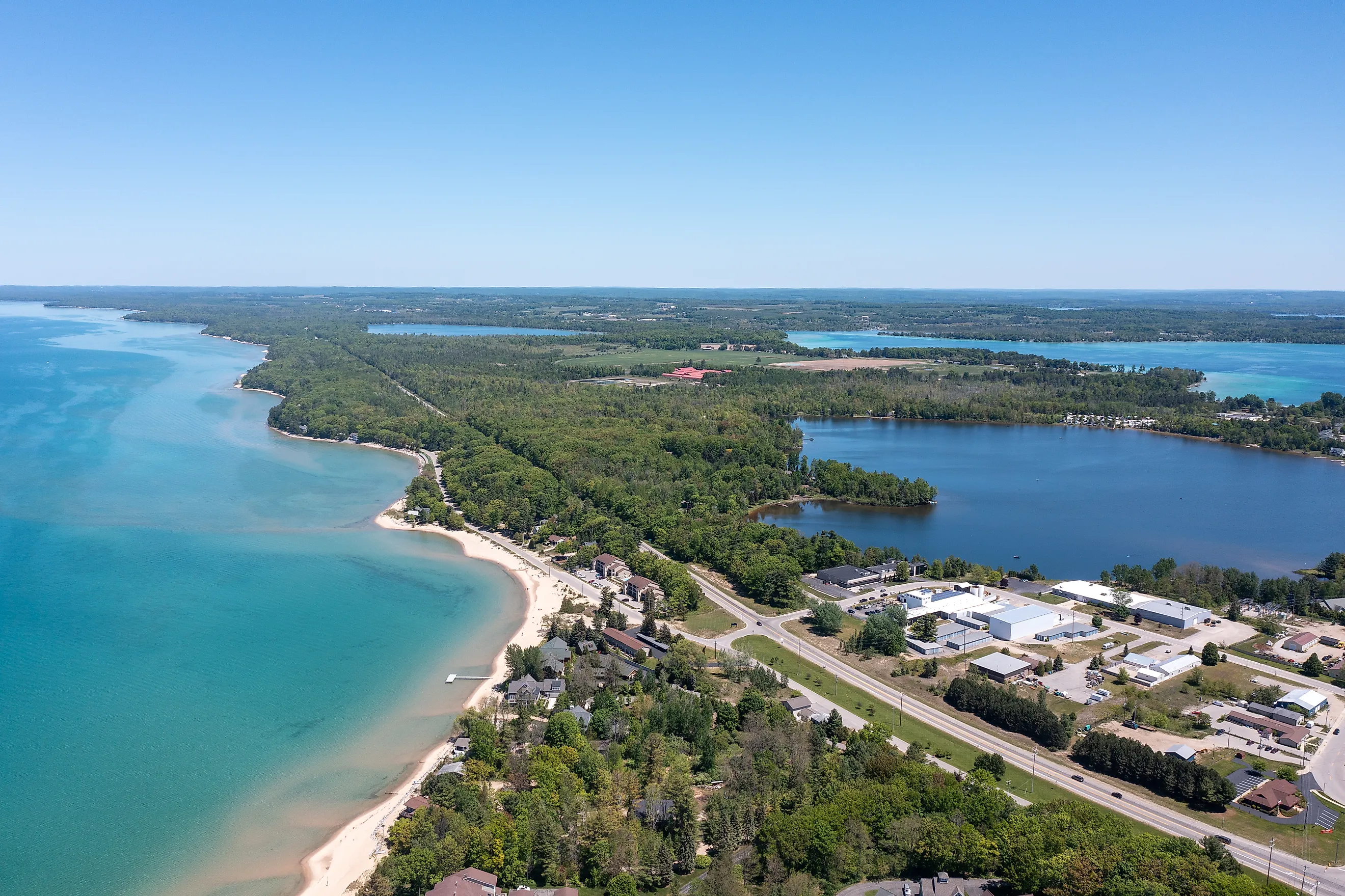
Lake Superior

Lake Superior is the largest freshwater lake in the world by surface area, containing over 400 islands and islets within its boundaries. Isle Royale, within the state of Michigan, is the largest of these at 206 square miles. It contains dozens of its own inland lakes, including Siskiwit, Intermediate, and Richie. The largest is Siskiwit Lake, which covers approximately 4,150 acres of cold, clear water and supports a thriving lake trout and yellow perch population. Paddlers willing to portage between lakes can spend over a week completing the interior loop.
Isle Royale is home to Isle Royale National Park, which is open from mid-April through late October and is the only American national park to close entirely during winter due to extreme weather conditions. The inland lakes can only be reached by canoe or kayak through a network of portages, and that inaccessibility is part of why these fragile ecosystems remain intact.
The island can be reached by ferry or seaplane from mid-May through early September. The National Park Service operates the Ranger III, a 165-foot vessel departing from Houghton, Michigan, and private ferry services also offer trips. To add to the layers, Siskiwit Lake contains its own landmass, Ryan Island, which holds a small seasonal pond, creating one of the most cited examples of recursive geography in North America.
Isle Royale is also the site of the longest continuously running predator-prey study in the world, tracking wolves and moose since 1958. The island's interior lakes are woven directly into that research. Moose wade the shallows of Siskiwit and Richie to feed on aquatic vegetation in summer, making lake edges among the most productive wildlife observation points on the island.
Lake Toba, Indonesia

Lake Toba in northern Sumatra, Indonesia, is the largest volcanic lake in the world, filling a caldera formed by a supervolcanic eruption roughly 74,000 years ago. The lake covers approximately 1,130 square kilometers and reaches depths of over 500 meters. At its center sits Samosir Island, one of the largest lake islands on Earth at roughly 630 square kilometers, making it comparable in size to Singapore.
Samosir itself contains several named inland lakes, including Lake Sidihoni and Lake Aek Natonang, both of which sit in the island's highland interior. Lake Sidihoni covers several hectares and is surrounded by farmland and forest, while Aek Natonang occupies a smaller depression nearby. The island is home to the Toba Batak people, whose traditional villages, stone tombs, and longhouses are spread across Samosir's hills and lakeshores. Visitors typically reach the island by ferry from the town of Parapat on the eastern shore of Lake Toba, or by crossing the narrow land bridge that connects Samosir's western edge to the Sumatran mainland.
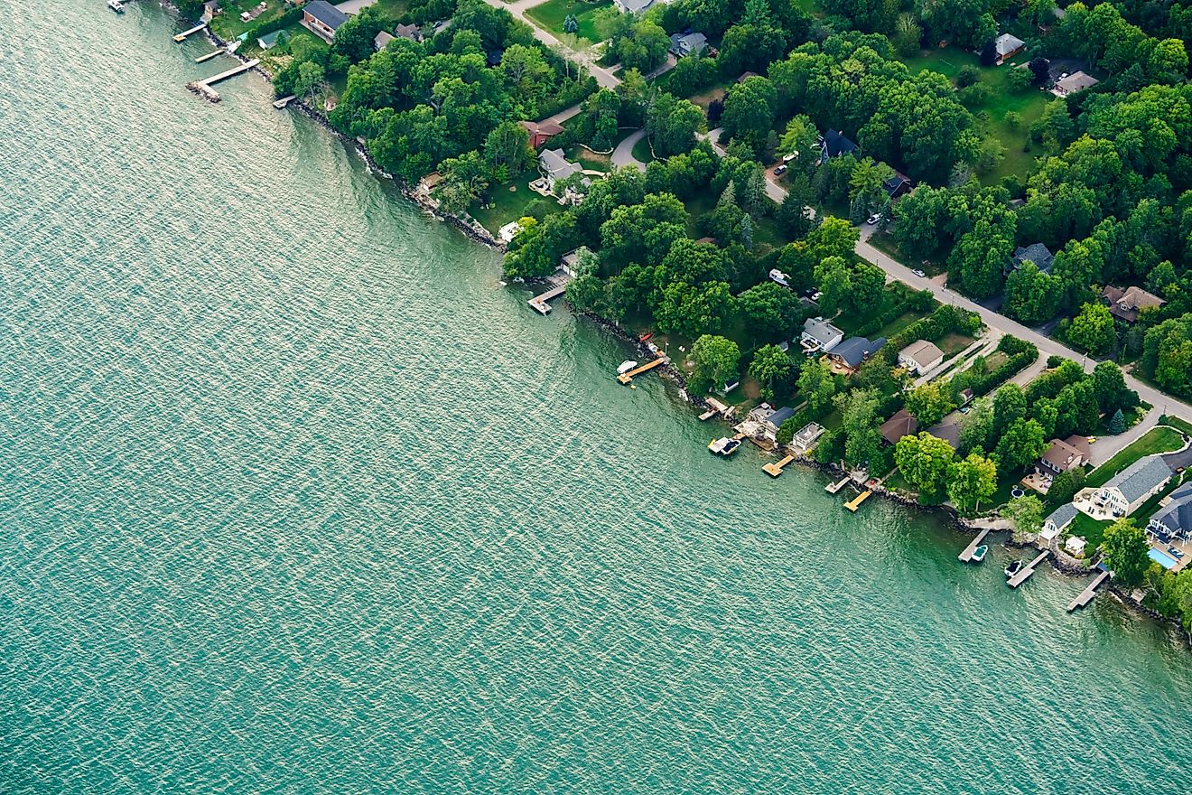
Lake Huron

One of the five Great Lakes of North America, Lake Huron spreads across parts of Ontario and Michigan and contains over 30,000 islands across its massive expanse. Drummond Island, with an area of 134 square miles, is the second-largest island in the lake and contains 34 of its own inland lakes along with a complex river system.
Drummond Island has been dubbed "the Gem of Lake Huron" and draws outdoor enthusiasts year-round. Most visitors arrive via the Drummond Island Ferry from DeTour Village. The island has 150 miles of shoreline, 117 miles of hikeable off-road trails, and a water system complex enough to sustain a full calendar of inland fishing seasons. Its carbonate bedrock geology also attracts fossil hunters. Multiple forest, swamp, and marsh habitats support deer, black bear, wolves, and otters, while birdwatchers following the North Huron Birding Trail can encounter great blue herons, LeConte's sparrows, common loons, sharp-tailed grouse, and sandhill cranes.
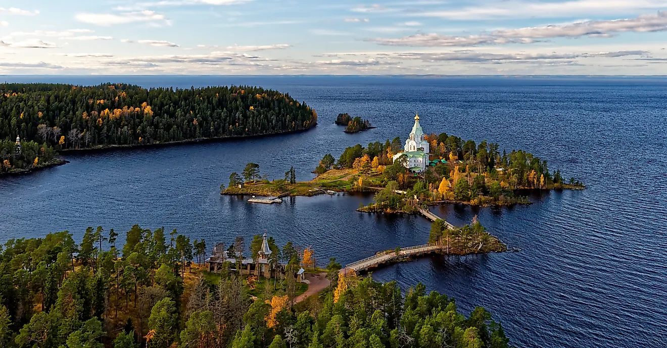
Lake Huron's most significant recursive example, however, is Manitoulin Island in Ontario, the largest freshwater island in the world. Manitoulin holds over 100 of its own inland lakes. Its most famous is Lake Mindemoya, which contains Treasure Island, widely cited as the world's largest island in a lake on an island in a lake. Manitoulin is home to six Anishinaabe First Nations communities and includes unceded Wiikwemkoong territory. Every August, the island hosts one of Canada's largest pow-wows, and the annual Haweater Weekend celebrates the island's abundance of hawberries.
Lake Michigan

Lake Michigan spans over 1,600 miles of shoreline across four states and contains approximately 100 islands. At 55.8 square miles, Beaver Island is the third-largest island in Michigan and hosts a year-round population of around 600 people. The island contains several inland lakes, including Lake Geneserath in the southeast, Greenes and Fox Lakes in the central part, and Font and Barneys Lake in the northern section.
Central Michigan University operates a biological research station on the island, with long-term studies on smallmouth bass populations and invasive species management ongoing. In St. James, kayak rentals are available for paddlers wanting to explore the interior lakes or the broader island coastline. Two township campgrounds provide direct access to several lake shorelines.

Each lake within Beaver Island has a distinct character. Lake Geneserath is the largest and well known for perch and bluegill. Barneys Lake and Font Lake draw anglers after largemouth bass. Fox Lake, in the island's middle interior, is partially bordered by a bog ecosystem that supports carnivorous plants. These ecologically varied bodies of water have their own shoreline ecosystems, fish populations, and surrounding forests shaped by the island's isolation from the mainland.
Lake of the Woods

Lake of the Woods is one of the most island-dense lakes in North America. It covers 1,727 square miles and extends across Minnesota, Ontario, and Manitoba. Including its more than 14,500 islands, the lake has an astounding 65,000 miles of shoreline. At that scale, recursive lake geography is almost a given. Most of the islands containing their own lakes sit on the Canadian side, including Big Island, Bigsby Island, Dawson Island, and Splitrock Island.
The interior lakes on these islands support significant populations of loons, eagles, and migratory waterfowl. The cold, nutrient-rich waters sustain fish populations across both the main lake and the smaller inland bodies of water, and the fishing reputation of Lake of the Woods is well established among serious anglers across the upper Midwest.
These interior lakes and their surrounding shorelines also provide nesting habitat for piping plovers, American white pelicans, and bald eagles. Those who reach these islands arrive almost exclusively by water. Paddlers, boaters, and fishers willing to navigate the lake's labyrinthine channels make up the bulk of visitors.
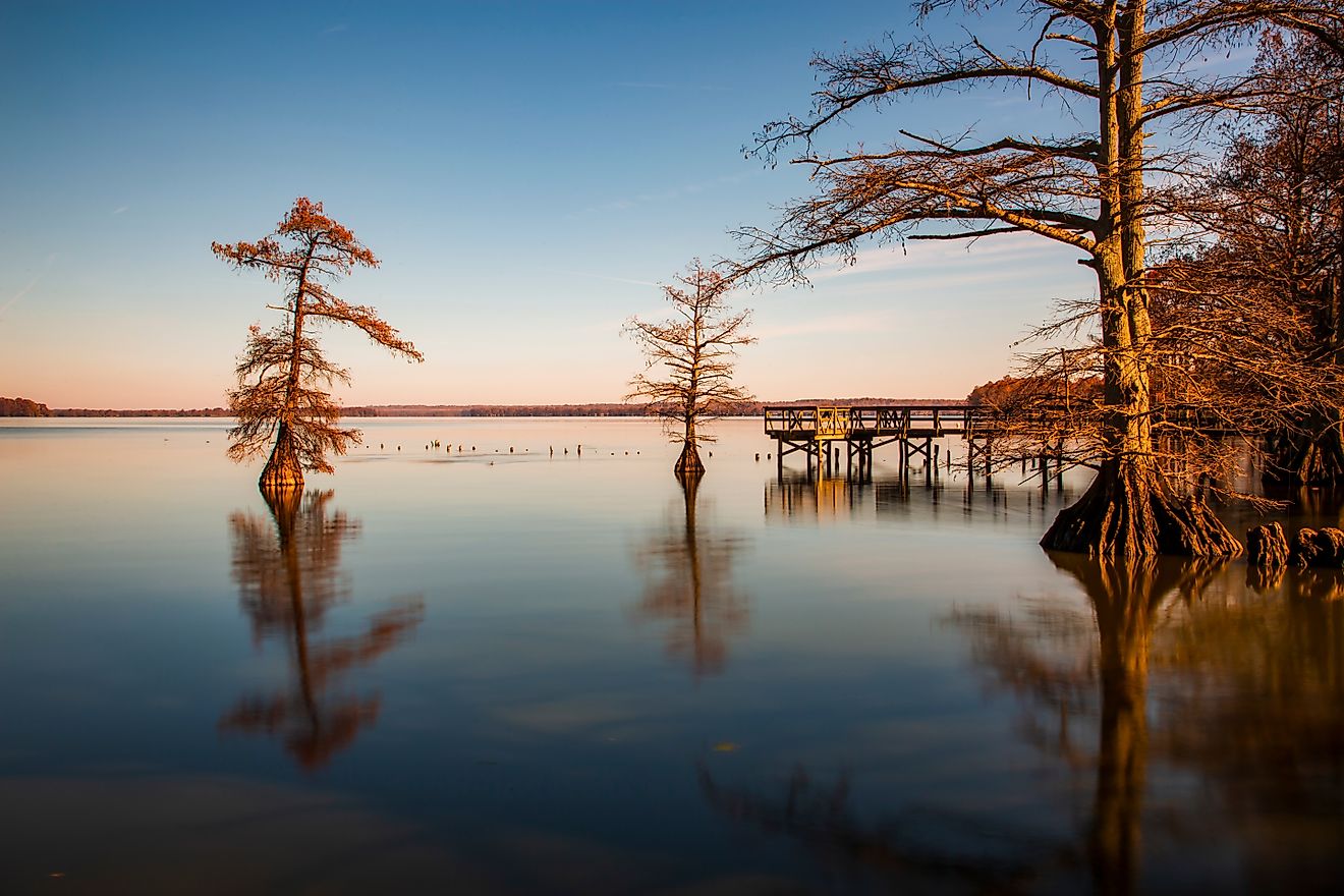
Cass Lake

Cass Lake sits within the boundaries of the Leech Lake Band of Ojibwe reservation in Cass County, Minnesota. This 15,596-acre lake contains four islands. Star Island is the largest of the four, covering 980 acres with over eight miles of shoreline. It contains an inland body of water named Lake Windigo.
Lake Windigo is spring-fed, covers almost 200 acres, and reaches depths of up to 25 feet. Visitors can reach it via boat, canoe, or kayak through three public portages. Star Island features a mix of mature white and red pine forests interspersed with northern hardwoods, providing critical habitat for nesting bald eagles. Six miles of trails wind through these old-growth forests and along the shoreline. The island campground on the southwest shore is free to use, making Star Island an accessible wilderness destination.
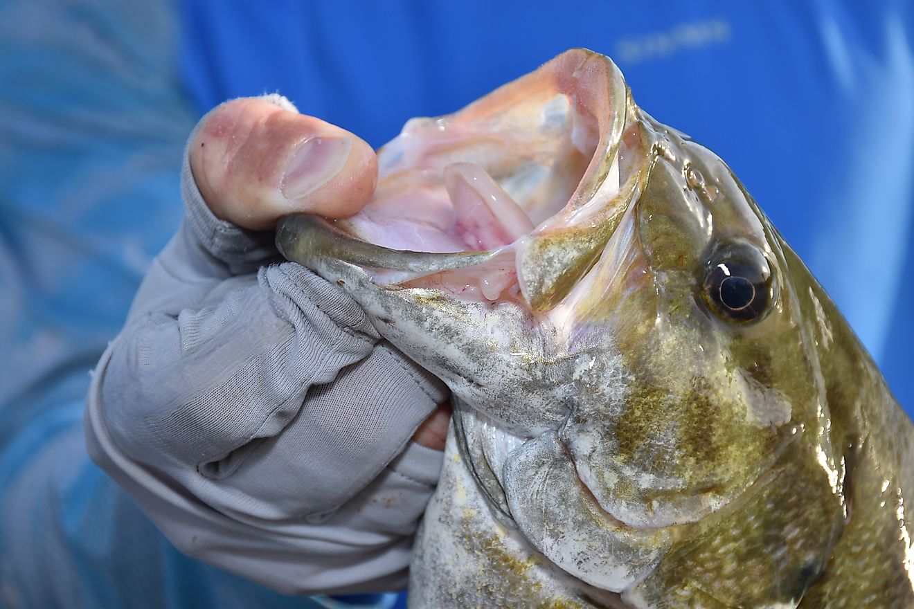
Cass Lake is also one of the top walleye and muskie destinations in Minnesota. Within Star Island's nested lake, anglers can find small populations of northern pike and walleye, along with large communities of panfish. The combination of open-water fishing on Cass Lake and quieter, sheltered fishing on Lake Windigo gives the area significant appeal for anyone spending multiple days on the water.
Layers of Lakes
Recursive lakes occupy a small but ecologically significant corner of freshwater geography. They form where geologic conditions, whether volcanic calderas, glacial carving, or shield-country fracturing, produce lake islands substantial enough to hold their own watersheds. The examples span continents, from the volcanic nesting of Taal Lake in the Philippines to the glacially sculpted interiors of Isle Royale and the culturally rich shores of Samosir Island in Indonesia.
Their isolation makes them ecologically unique and sensitive to change. Cut off from the genetic exchange and environmental pressures of the larger lake, their fish populations can evolve along separate lines. Their shoreline vegetation develops without the wave action that shapes exposed coasts. For wildlife, they are refuges within refuges, protected largely not by policy but by geography. That combination of ecological importance and geographic rarity makes these recursive lake systems worth knowing and protecting.