What Happens When A River Changes Course
When a river changes course, it creates a new channel, cuts off an old bend, and reshapes the farmland and wetlands beside it, sometimes within a short distance. Along the Lower Mississippi River, natural meanders and engineered cutoffs have repeatedly changed the landscape. The Old River Control Complex keeps about 70 percent of the Mississippi and Red River flow in the Mississippi channel and the other 30 percent flowing toward the Atchafalaya River.
Since rivers are not fixed lines on a map, they are constantly transporting water, silt, gravel, and organic material downstream. Over years or centuries, this movement erodes banks, forms new land, and sometimes directs the river into an entirely different route. These changes affect the ecosystems and communities around them, creating new flood risks and potentially damaging local economies.
How Rivers Change Their Course

A river changes course when flowing water finds a more efficient path. The process happens slowly through bank erosion and sediment deposition, or suddenly during a flood. In a winding river, water moves fastest along the outside of each bend. This fast-moving water erodes the bank, creating a steep cut bank. On the inside of the bend, the current slows and drops sediment, building a gently sloping point bar. Over time, the entire bend gradually migrates sideways downstream.
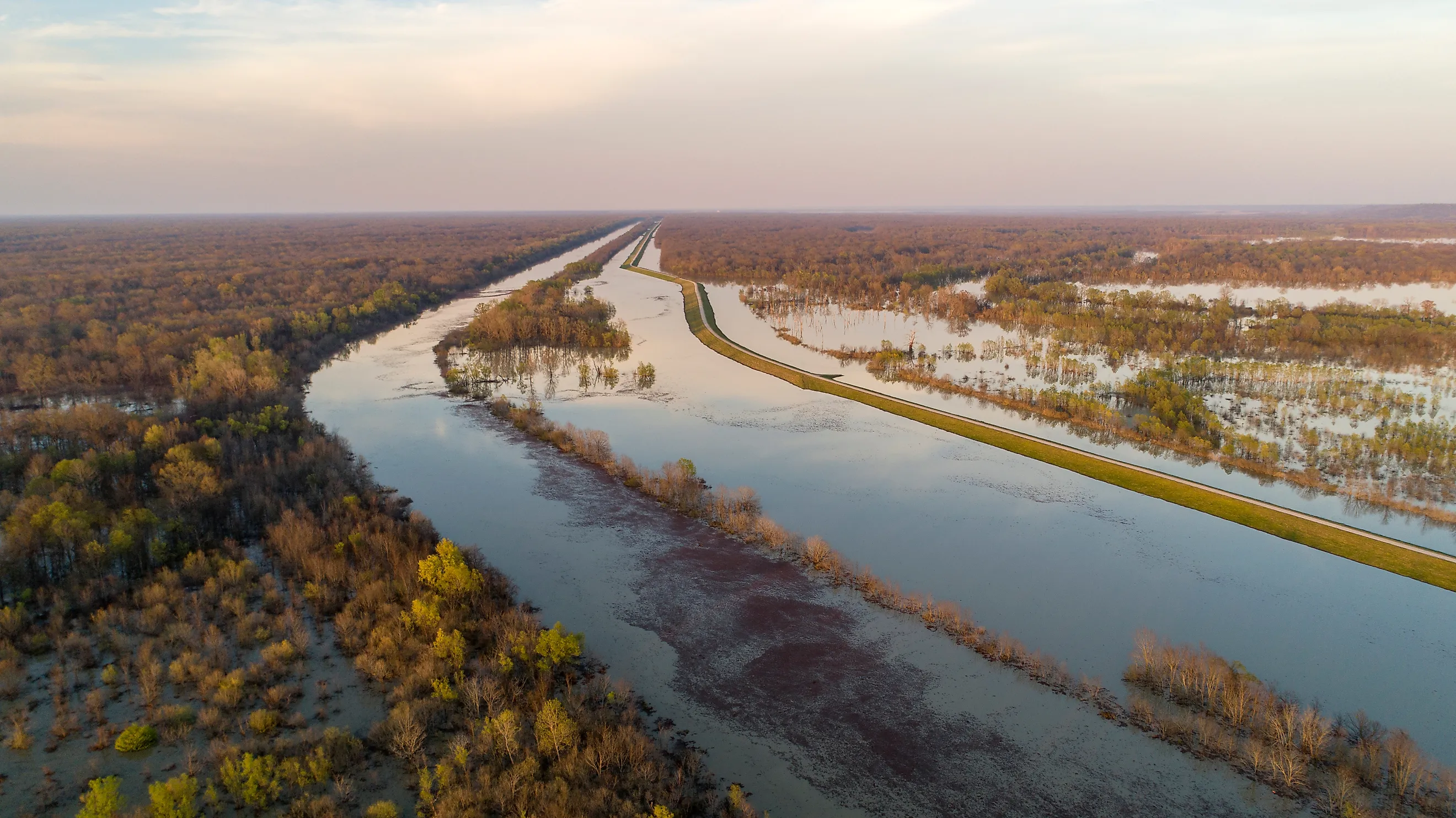
This natural process stands out along the Mississippi River, where the channel has developed broad meanders across its low-gradient floodplain. As bends become larger, two sections of the channel move closer together. During high water, the river eventually cuts through the narrow strip of land between them and takes the shorter route. The abandoned loop commonly remains as an oxbow lake, or a curved lake that preserves the shape of a former river channel. These cutoffs eventually create a slough, or a marshland habitat as sediment seals off the old bend.
A more abrupt river course change is called an avulsion. Avulsions occur when a river floods and abandons part of its channel, establishing a new route across its floodplain. Floodwater overcomes a natural levee, hunts for a shortcut, and concentrates its flow in the new path. Unlike ordinary meander migration, an avulsion can redirect a major river across a large area in a single flood season.
Erosion, Sediment, and Floodplain Change

When a river moves, it relocates water as well as the material that builds the surrounding landscape. Erosion removes soil and sediment from one bank, and deposition adds new layers elsewhere. This process creates features such as point bars, natural levees, sandbars, abandoned channels, and lakes. The result is a continually changing floodplain with land surfaces of different ages and elevations.
The floodplain beside a river often contains some of the most fertile soil in a region because floods leave behind fine sediment. However, this benefit comes with instability. A property on the outside of a meander loses land as the river cuts into the bank, and land on the inside bend gains acreage as sediment accumulates. The pace of change varies widely according to streamflow, vegetation, channel width, and slope. Scientists use these factors to model channel migration and assess where future bank movement is likely, but floods speed up the process. High flows sometimes collapse river banks or create new wetlands.
Oxbow Lakes and New Habitats

One of the clearest signs of a changing river is an oxbow lake. These crescent-shaped lakes form after a river cuts through the narrow neck of a large bend and leaves the former loop disconnected from the main channel. The river then follows the shorter, steeper route, and the cutoff bend becomes a still-water feature. Over time, sediment and organic material partially fill the oxbow, turning it into a wetland, marsh, or forested depression. Oxbow lakes often support wildlife that differs from the species found in the main river. The calm water is habitat for fish, frogs, turtles, waterfowl, and aquatic plants. Along the Mississippi River floodplain, abandoned meanders and cutoff lakes help create productive wetland systems.
These features preserve evidence of a river's past. Aerial photographs and satellite images reveal old channels as curved lakes or wet areas in fields. In many river valleys, former channels remain visible long after the river has moved elsewhere. They show that a modern river corridor is only the latest position in a much longer history of migration. Oxbow lakes add to ecosystem diversity, but they change local drainage patterns. After storms, a former channel frequently holds water and sometimes reconnects to the river during major floods. Land managers must account for these older channels when planning construction projects.
Impacts on People and Property

A river changing course affects homes, farms, roads, drinking water, and public boundaries. Gradual bank erosion undermines farmland, buildings, and roads near the riverbank. Property ownership becomes more complicated when a river marks a boundary, too. In general, a gradual shift moves the legal boundary with the river's path, but a sudden avulsion does not, and the boundary remains tied to the former channel. Legal outcomes depend on local law and the history of the river's movement, so landowners facing an active channel change typically need professional legal and surveying guidance.
Communities along rivers face changing flood risks. When a river migrates toward a developed area, the outer bank becomes increasingly vulnerable to erosion. When the river cuts off a bend, the main current shifts away from one location and increases pressure downstream. Navigation channels become harder to maintain as sediment accumulates in new places. On large working rivers, these changes reach ports, bridges, industrial facilities, and transportation routes.
The Mississippi and Atchafalaya Rivers

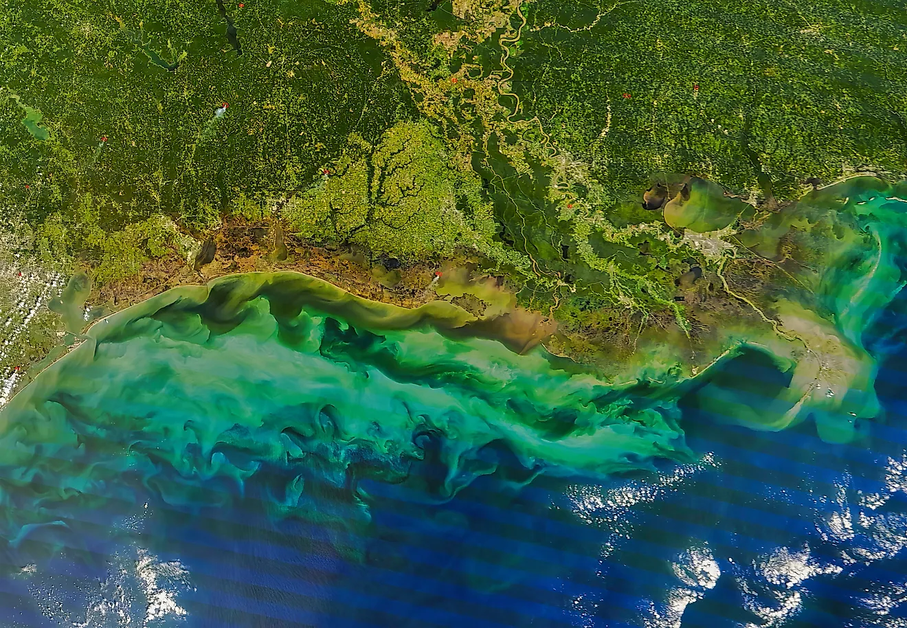
The relationship between the Mississippi River and the Atchafalaya River shows how far-reaching a river course change can become. Near Old River in Louisiana, the Atchafalaya is a shorter, steeper path to the Gulf than the lower Mississippi route that flows through New Orleans. Without management, the Atchafalaya could capture a much larger share of Mississippi River flow, shifting the main channel westward and transforming water levels and sediment delivery across southern Louisiana.
The US Army Corps of Engineers operates the Old River Control Complex to preserve the flow distribution that existed in 1950. The system maintains a 70/30 division, with about 70 percent of the combined Mississippi and Red River flow continuing in the Mississippi and about 30 percent directed toward the Atchafalaya. This intervention shows that river management does not eliminate a river's natural drive to shift. Instead, it reduces the immediate risk of a major course change but requires continuous monitoring, maintenance, flood planning, and engineering. Human-made cutoffs have altered the lower Mississippi, too. During the 1930s and early 1940s, a series of cutoffs shortened the lower river by more than 150 miles, improving its flood-carrying capacity and lowering flood stages at places like Arkansas City, Arkansas, and Vicksburg, Mississippi.
Why River Course Changes Matter
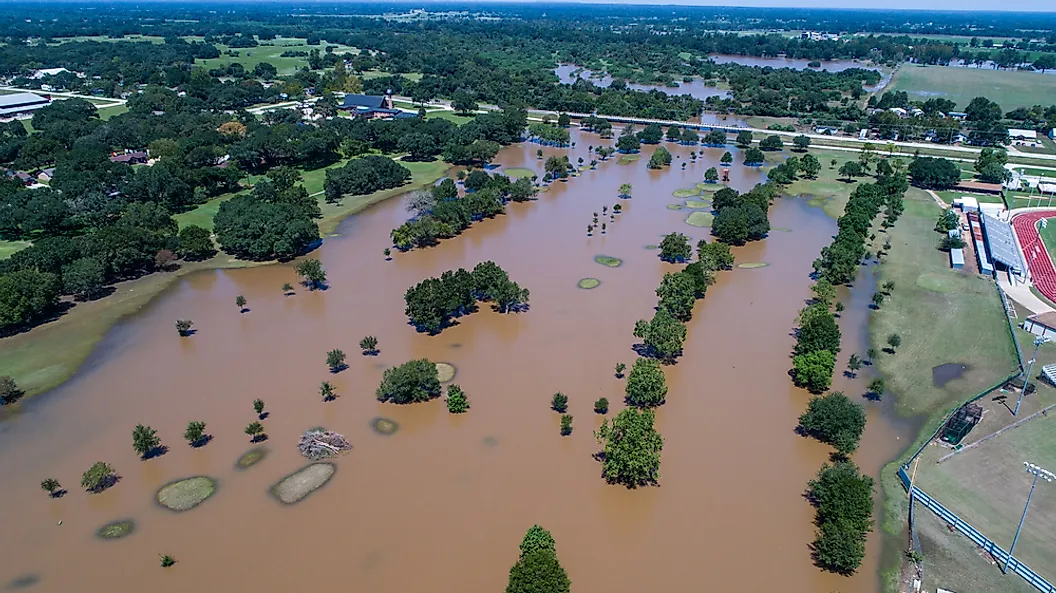
River course changes shape landscapes, but they create practical challenges that extend beyond the water's edge. In places like the Mississippi Delta, a migrating channel affects farmland values, flood insurance, bridge design, and transportation. Changes in sediment distribution help decide if wetland habitats grow or shrink. A river confined too tightly by levees or channelization loses complexity, but communities need flood protection and stable infrastructure. River management involves balancing ecological processes with public safety and economic needs.
Rivers operate as living systems, not permanent boundaries. Through slow meander migration, a sudden avulsion, or an engineered cutoff, the river will continue to change. Monitoring channel movement and protecting floodplain space help communities adapt to that natural process and preserve the habitats and resources that rivers create.