Mississippi River Delta
The Mississippi River Delta describes the area where the Mississippi River meets the Gulf of Mexico. It is located primarily in the state of Louisiana, in the southeastern part of the United States. The River Delta is a 12,000 square kilometer (3 million acres) section of land and is one of the largest areas of coastal wetlands in the United States. It is also the 7th largest river delta on Earth and is the United States' largest drainage basin.
Geography

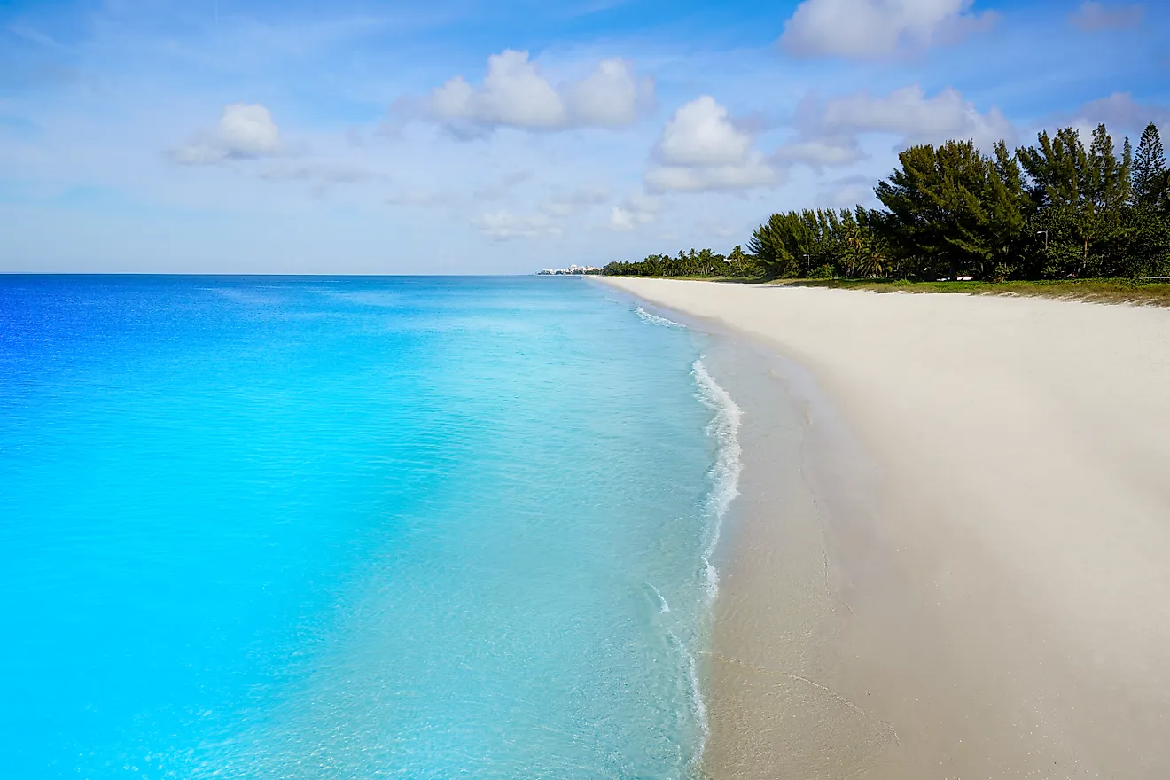
The delta occupies an area that reaches across Louisiana from the coastal Chandeleur Islands in the east, to Vermillion Bay on its western side. This expansive wetlands also contain roughly 37% of all estuarine marshland in the contiguous United States.
The drainage basin includes the tributaries of the Mississippi River, Missouri River, and Ohio River, three of the largest and longest in the United States. The delta includes fresh water, brackish water, and salt water as it flows its way down towards the open ocean, meaning freshwater marshes, brackish marshes, salt marsh, and sandy beaches can all be found within the delta and basin.
Formation Of The Mississippi River Delta

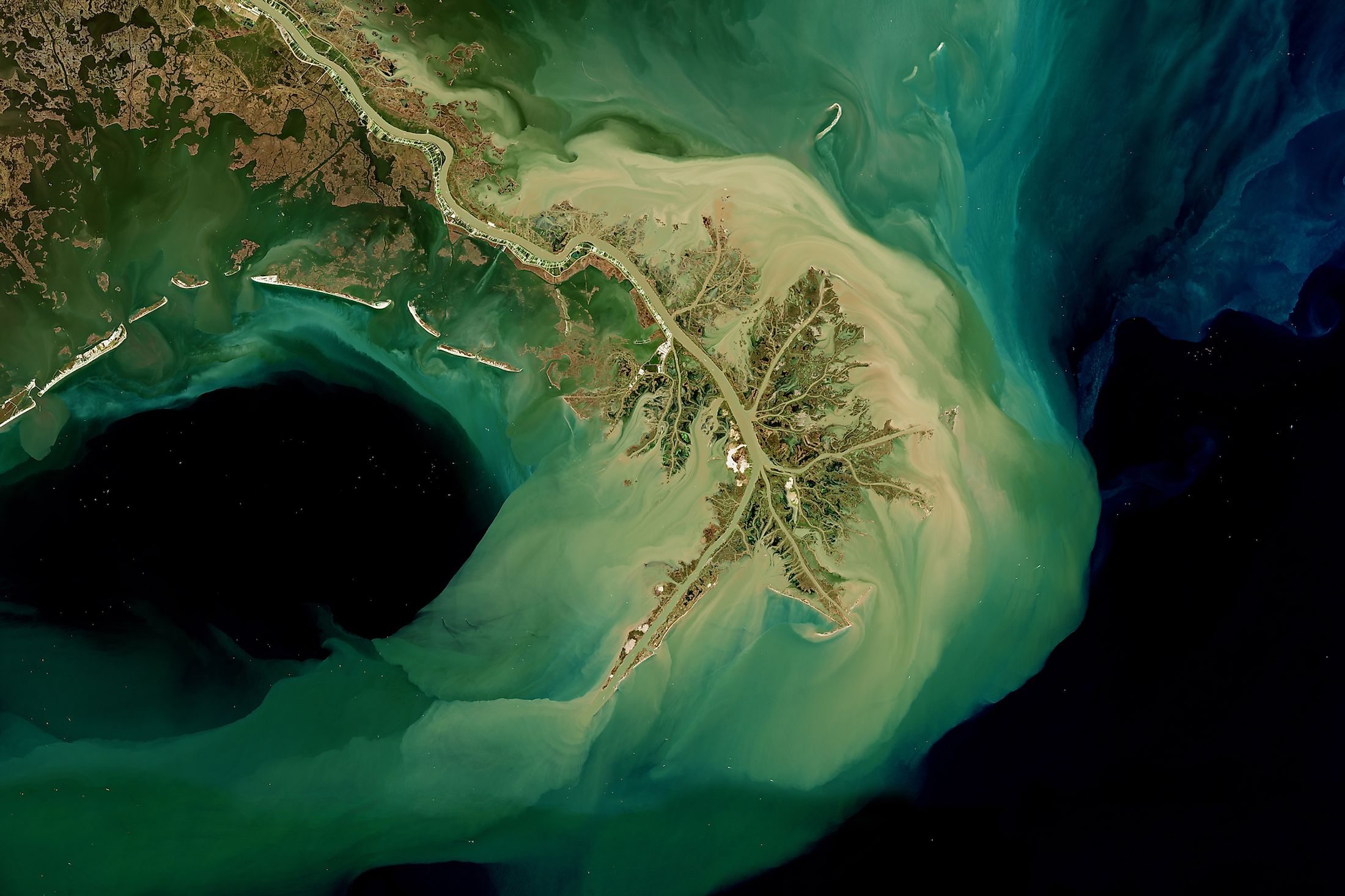
The river delta is a river-dominant delta, with a prominent bird’s foot delta and was formed approximately 4,500 years. The path of the river slowly deposited and dropped sand, clay, and silt along the river banks and in the existing basin, which created blockages within the river, which over time made the plain more shallow. These ‘buildups’ are known as delta lobes. The larger, or more common these lobes became, the more difficult it was for the river to flow in its original path. Eventually, the resistance to the former path became so great that the river was forced to find new routes, and the river changed course. This process continued repeatedly, which is why the river delta has such a forked, meandering appearance to it when seen from above. The lobes, and silt-heavy areas became prominent marshlands, and important ecosystems for wetland plants and animals.
Settlements In The Mississippi River Delta

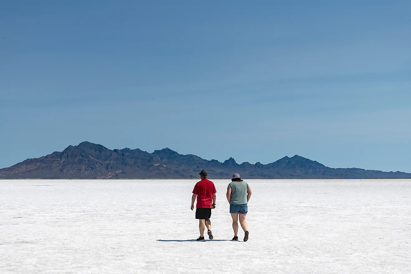
Some 2 million or so people live in the Mississippi River Delta area. Due to its location at the mouth of the river, and the Gulf, the region was a gateway for goods and culture. People from a variety of nationalities settled here, including a large population of French settlers and traders, and Creole and Cajun culture are still prominent in the area today.
Two unique groups the developed in the area are the Creoles and the Cajuns. Louisiana is known as the Creole State. Creole refers to people descended from the inhabitants of colonial Louisiana before it became a part of the United States during the period of both French and Spanish rule. As an ethnic group, their ancestry is mainly of French, West African, Spanish and Native American origin. Today, most Creoles are found in the greater New Orleans region or in Acadiana.
The Cajuns are another ethnic group in Louisiana who are descendants of the Acadian settlers who were expelled from Nova Scotia by the British when France lost its North American colonies after the French and Indian War. The Creole and Cajun cultures possessed distinct identities and remain strong influences in the Mississippi River Delta. They continue to shape preferences of food, music, and art, as well as to maintain the unique identities.
Plant Life

Being one of the largest wetlands, there are a variety of plants that live in the Mississippi River Delta. Many of these plants are endemic to the area, or are strictly wetland plants. These include a variety of wetland grasses, reeds and cattails, swamp rose, spider lilies, and cypress trees. The bluffs and higher elevation areas have more forested regions, which house trees such as oak, hickory and walnut, while marsh areas include green ash, hackberry, cottonwood, and swamp white oak.
Animals

Two major flyways, which are migratory routes for birds, the Central and Mississippi flyways, converge in the delta. This means that many neotropical species of migratory songbirds can be found seasonally throughout the area. Additionally, 70% of the continent’s waterfowl migrate along these flyways and winter over in and around the Gulf. These species include snow geese, northern shovelers, green-winged teals, and gadwells, as well as a variety of other ducks, geese. The piping plover can also be found here, and is a threatened species.
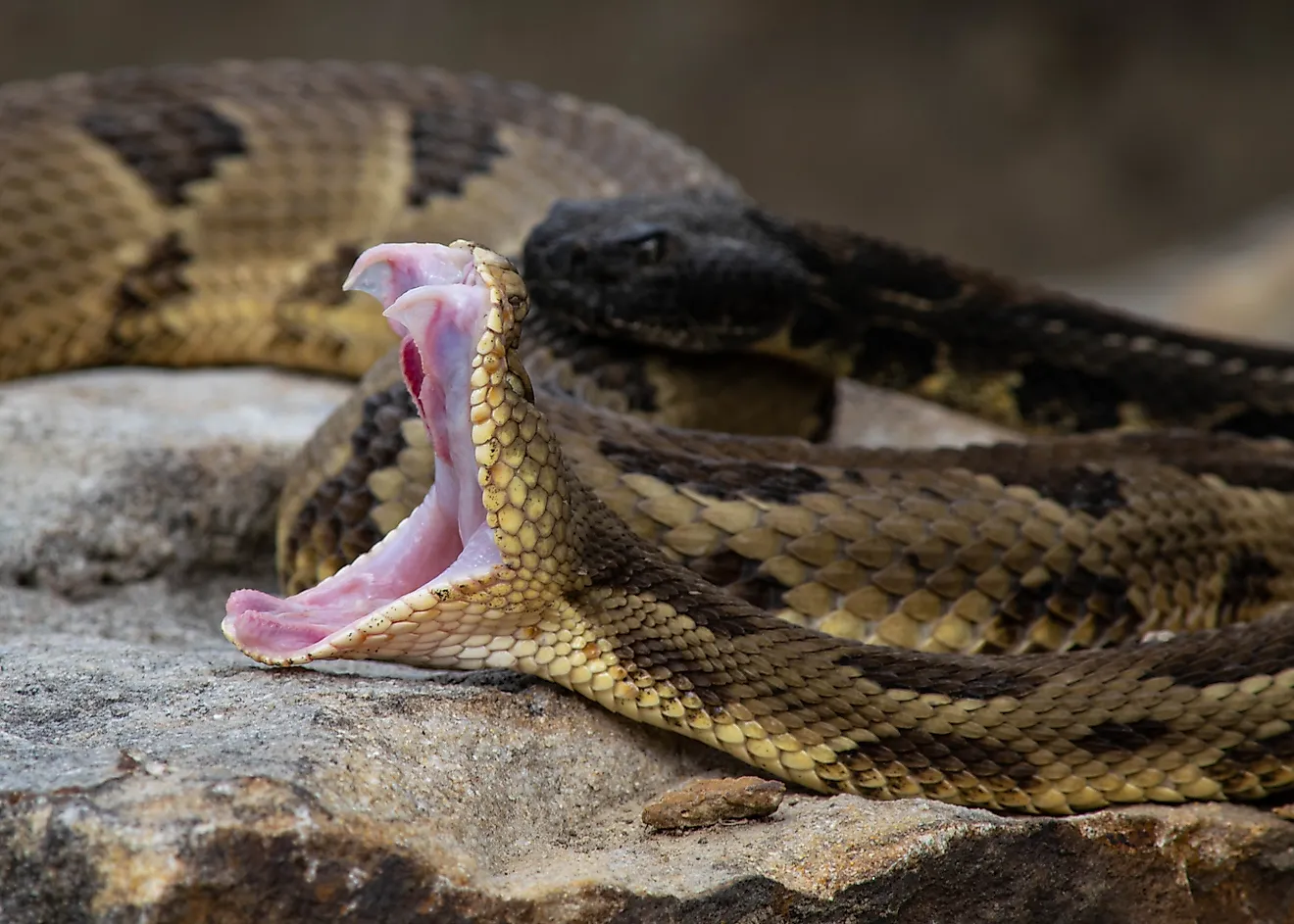
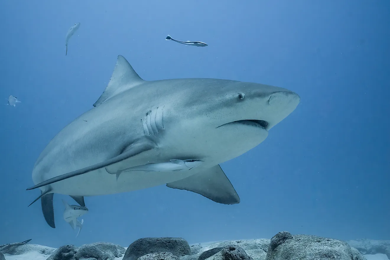
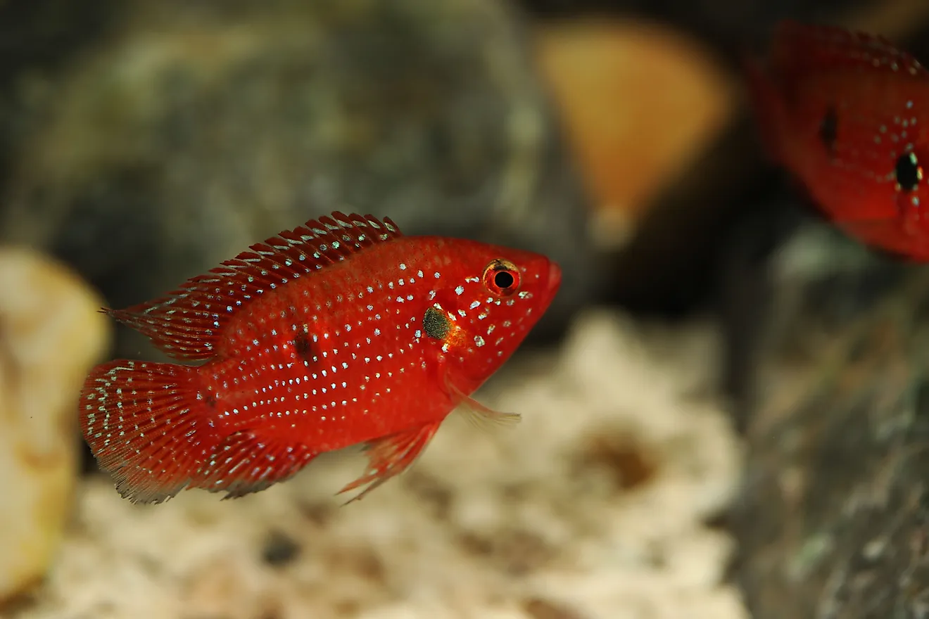
In addition to the birds, other animals in the region include a large population of American alligators, who thrive in these swampy regions, as well as a variety of young fish that are born and live their juvenile lives in the protection of the wetlands. Green sea turtles, which are endangered, can also be found in the Gulf of Mexico region of the delta, increasingly, as their other habitats become more and more threatened.
Mammals include the threatened Louisiana black bear, minks, muskrats, beavers, armadillos, foxes, coyotes and bobcats.
Threats To The Mississippi River Delta

Unfortunately, the delta is experiencing a period of extreme threat. According to National Geographic, the state of Louisiana is losing roughly 60 square kilometers of wetland per year. At this rapid rate, it is estimated that the shoreline of the coast will recede some 50 or more kilometers by the year 2040. This is a major problem, as these landscapes are weakened, they become more vulnerable to strong winds and flooding. In essence, the wetlands are drying up due to both human development (specifically the construction of river levees and dams which constrict the natural flow of the river) and climate change, which has caused more and more rapid evaporation rates.
Not only does this mean a loss of the natural wetlands and habitat for various animals, but the wetlands form a natural barrier against things like tropical storms. With the overall increase in the severity of natural storms of late, these wetlands and deltas are vital to the protection of the homes and people that live in these coastal delta regions.