Maps of Louisiana

Louisiana, a state in the United States, shares its borders with Arkansas to the north, Mississippi to the east, the Gulf of Mexico to the south, and Texas to the west. The state covers an area of 51,840 mi2 (134,264 km2).
Louisiana, from northwest to southeast, is divisible into five primary geographic regions:
North Louisiana features rolling hills in the northwestern part and the flat, rich alluvial plains of the Mississippi Delta in the northeastern areas. It is defined by a landscape that gently rises from the coastal plains to the higher elevations in the north. This region transitions from the loamy soil of the coastal plains to the more fertile soils of the interior uplands, suitable for agriculture.
Central Louisiana is characterized by the Red River and its fertile valley which flows through it, contributing to the region's agricultural prominence. The Kisatchie National Forest, the state's only national forest, lies within this region and offers a mix of pine hills, hardwood bottoms, and prairies. The highest point in the state, Driskill Mountain, stands at 535 feet (163 meters) and is located in Bienville Parish, in the northern part of this central region.
Acadiana is a culturally rich region known for its Cajun and Creole heritage. It is largely flat, with extensive wetlands including the Atchafalaya Basin, which is the largest wetland and swamp in the United States. The terrain here is interspersed with bayous, marshes, and agricultural land.
The Florida Parishes lie to the east of the Mississippi River, north of Lake Pontchartrain. This area is characterized by longleaf pine forests, rolling hills, and rivers that are tributaries to Lake Pontchartrain and the Mississippi River. The sandy soils and bluffs here contrast with the flatter, deltaic lands of the southeastern regions.
Greater New Orleans is situated at the mouth of the Mississippi River and includes the city of New Orleans and its surrounding metropolitan areas. It is known for its deltaic system, which has created intricate networks of waterways and is pivotal to the city's existence. This region lies at or below sea level, with the lowest point in Louisiana, New Orleans, sitting at -8 feet (-2.44 meters) below sea level.
Islands and Major Bodies Of Water include a series of barrier islands that protect the coastline, such as Grand Isle, and major lakes like Pontchartrain, Maurepas, and Salvador. The Mississippi River, a defining feature of the state's geography, provides a vital waterway for the country and significantly influences the landscape of the surrounding regions, contributing to the fertile soils of the delta. The Red River and the Ouachita River are also significant bodies of water.
Counties Map
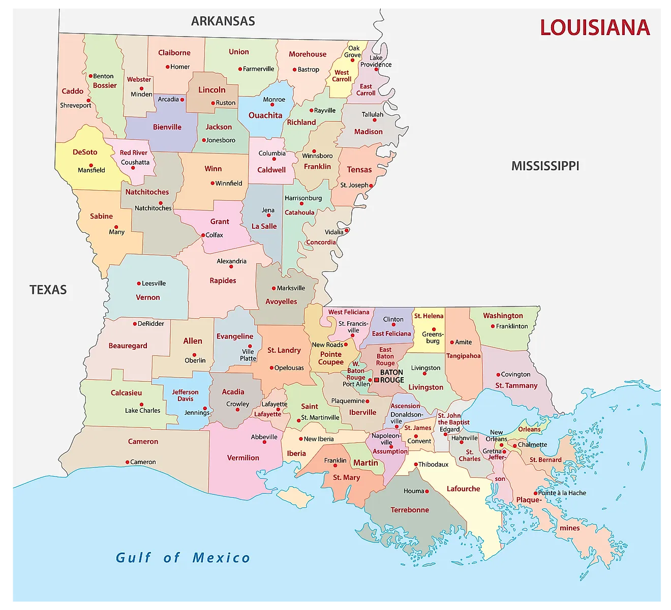
The State of Louisiana is divided into 64 parishes. In alphabetical order, these parishes are: Acadia, Allen, Ascension, Assumption, Avoyelles, Beauregard, Bienville, Bossier, Caddo, Calcasieu, Caldwell, Cameron, Catahoula, Claiborne, Concordia, De Soto, East Baton Rouge, East Carroll, East Feliciana, Evangeline, Franklin, Grant, Iberia, Iberville, Jackson, Jefferson, Jefferson Davis, La Salle, Lafayette, Lafourche, Lincoln, Livingston, Madison, Morehouse, Natchitoches, Orleans, Ouachita, Plaquemines, Pointe Coupee, Rapides, Red River, Richland, Sabine, Saint Bernard, Saint Charles, Saint Helena, Saint James, Saint Landry, Saint Martin, Saint Mary, Saint Tammany, St John the Baptist, Tangipahoa, Tensas, Terrebonne, Union, Vermilion, Vernon, Washington, Webster, West Baton Rouge, West Carroll, West Feliciana, Winn.
With an area of 135,658 sq. km, the State of Louisiana is the 19th smallest and the 25th most populous state in the USA. Located in the East Baton Rouge Parish, along the eastern shores of the Mississippi River is Baton Rouge – the capital and the second-largest city in Louisiana. It also serves as a political hub and an industrial center of the state. Situated in southeastern Louisiana, along the Mississippi River is New Orleans – the largest and the most populous city in Louisiana. It also serves as a major port, cultural, commercial, and economic hub of the state as well as the Gulf Coast region of the United States.
Where is Louisiana?
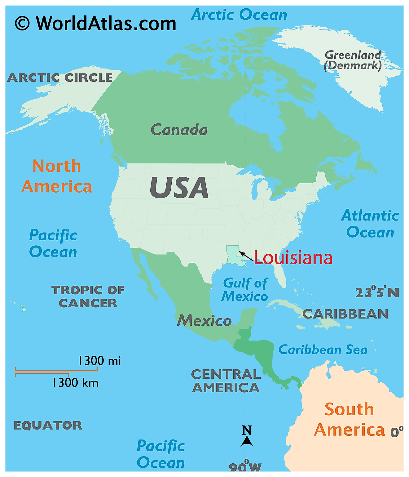
The State of Louisiana is located in the Gulf Coast (Deep South) region of the South-Central United States. Louisiana shares its borders with the State of Texas in the west, with Arkansas in the north, and with Mississippi in the east. It is bounded by the Gulf of Mexico in the south.
Regional Maps: Map of North America
Outline Map of Louisiana
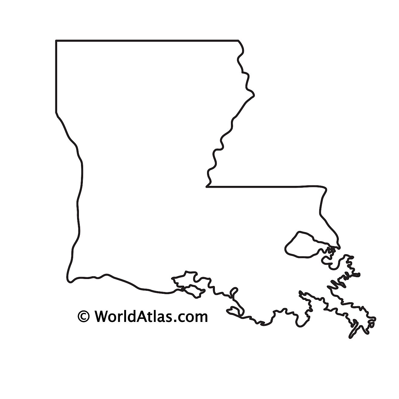
The above blank map represents the State of Louisiana, located in the Gulf Coast (Deep South) region of the South-Central United States. The above map can be downloaded, printed and used for geographic education purposes like map-pointing and coloring activities.
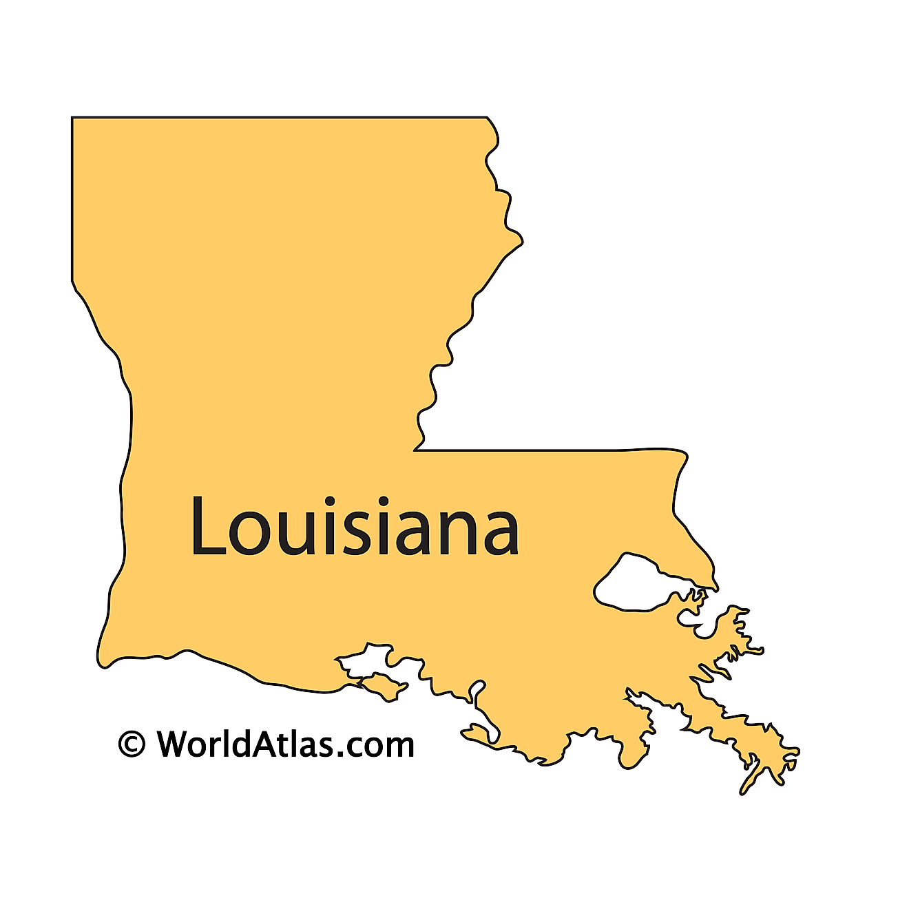
The above outline map represents the State of Louisiana, located in the Gulf Coast (Deep South) region of the South-Central United States.
Key Facts
| Legal Name | State of Louisiana |
|---|---|
| ISO 3166 Code | US-LA |
| Capital City | Baton Rouge |
| Major Cities |
|
This page was last updated on January 30, 2024
