Where The Mississippi Meets The Gulf Of Mexico
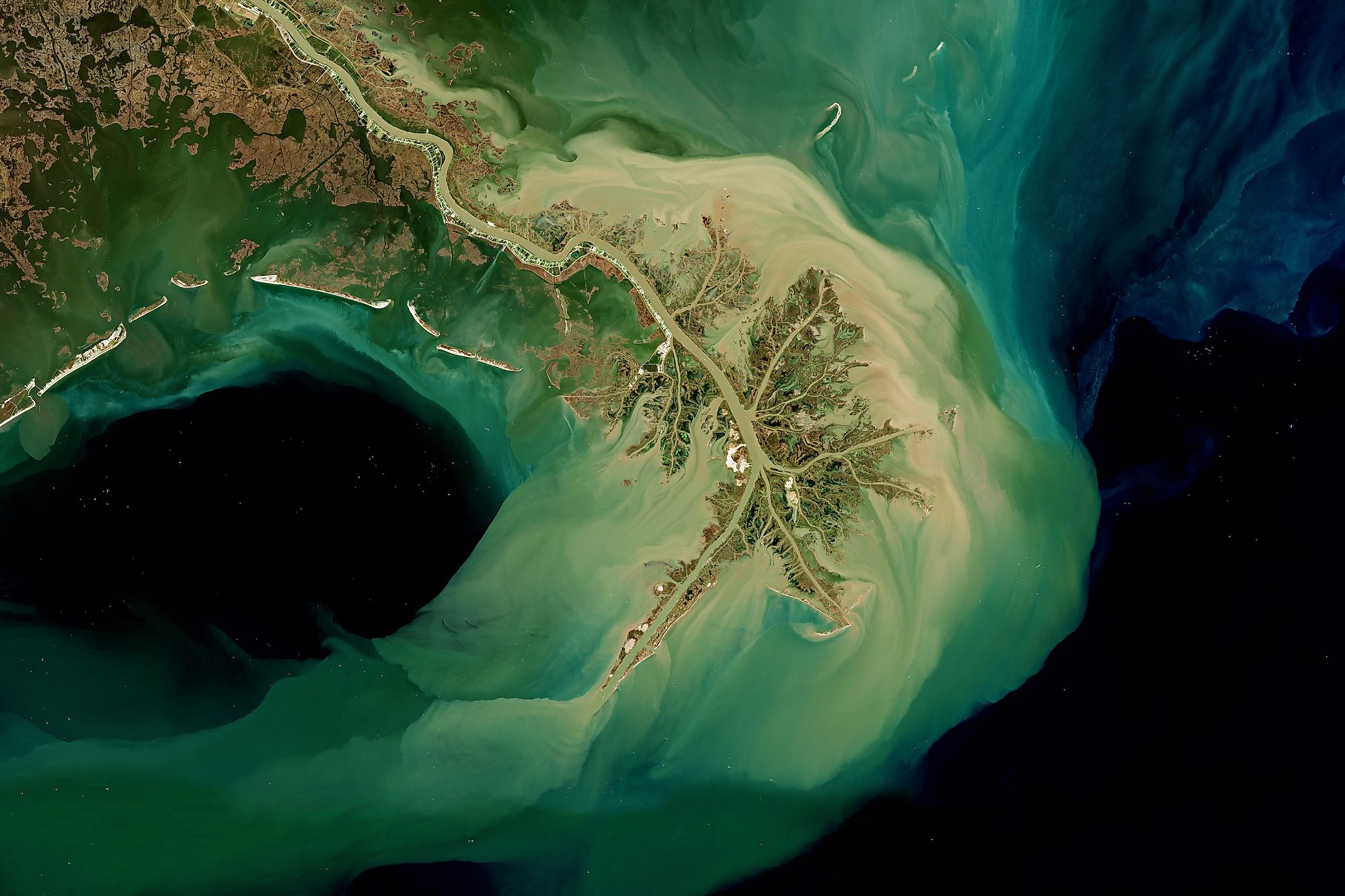
The Mississippi River does not flow into the Gulf of Mexico in one even stream, but rather in a sediment-filled network of streams known as the Mississippi River Delta.
The actual point where the Delta meets the Gulf of Mexico is close to the town of Venice, Louisiana, named after the city in Italy known as "The City of Gondolas" or "The Floating City."
It's a long journey from the Mississippi River's source in Minnesota down to Louisiana, taking 90 days for water to travel from Minnesota down to this vast network of wetlands containing both fresh and saltwater marshes and beaches.
The Ice Age origin of the delta

The Mississippi River itself dates back to the late Cretaceous around 70 million years ago, when a gap formed between a mountain chain that used to include both the Appalachian and Ouachita Mountains. This gap is known as the Mississippi Embayment, stretching from southern Missouri to northern Louisiana.
Through this gap, a river could flow from the north all the way to the Gulf of Mexico, which formed the ancestral Mississippi River. Over millions of years, the Mississippi River would expand and grow in water volume as it was joined by other rivers.
The Mississippi River Delta itself is a much younger geological feature, only beginning to form in the last 7,000 to 8000 years, with some of its most recent features emerging as late as the 1970s.

Its formation was directly caused by rising and falling sea levels, beginning at the Holocene transgression 18,000 years ago, when glaciers caused waters to recede. However, at the end of the last Ice Age, the melting glaciers caused sea levels to rebound.
This in turn allowed the Mississippi River to flood a valley where the modern Mississippi River Delta is located. Once the valley was flooded, the Mississippi River steadily deposited vast amounts of alluvial deposits.
These deposits came from the melting glaciers much further to the north, which contributed vast amounts of crushed materials to the Mississippi River. They would eventually build up to create landforms, with the first emerging around 3,000 years ago.
The steady growth of the deltas

With the Mississippi River Delta, each delta built on the other as the river found new paths. For example, the first delta was the Sale-Cypremort Delta, forming 3,000 years ago, but as the river became clogged due to the wetland vegetation, it cut through a weak point in a natural levee, forming the Cocodrie Delta 2,250 years ago.
This same process continued, forming the Teche Delta 1,750 years ago and the St. Bernard Delta 1,300 years ago.
The most recent delta formed only 53 years ago via the Atchafalaya Delta. This delta was formed in Grand Lake, as sediments filled it in the 1970s, which in turn flowed down into the coast by Atchafalaya Bay, forming small deltas.
Once the Mississippi River leaves behind a delta, it will often erode away quickly, separating it from the land. This is why the St. Bernard Delta is now separated from the land by the Breton Sound, and its marshland has disappeared, with the water settling into lakes, bays, or other features.
The vast swamp of the delta

The Mississippi River Delta contains more wetlands than anywhere else in the lower 48 states, with close to 40 percent of all coastal wetlands located here. Of the total acreage of the delta, 61 percent of it is coastal wetlands, at 61,650 acres.
Of the marshes in the delta, the vast majority are freshwater, making up 81 percent, with brackish making up 2 percent and an intermediate mixture of both taking up the remaining 17 percent.
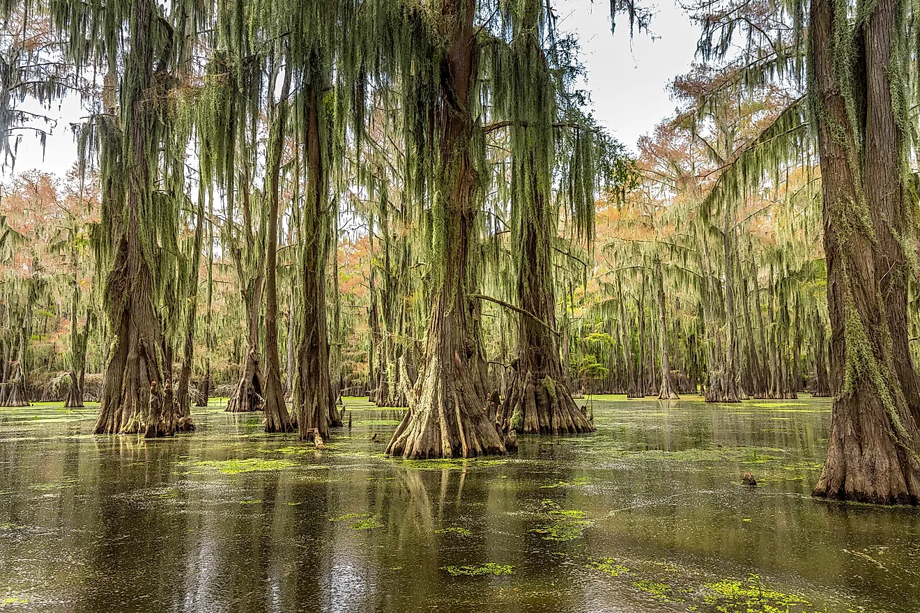
One common feature in this delta is slow-moving creeks and shallow waters that are called bayous. The bayou is a defining characteristic of Louisiana geography and culture, with hunters, fishers, boaters, and others spending time navigating the bayous. Another common resident in these waters is alligators.
Although there is no direct count for how many alligators live in the delta, Louisiana in total supports one of the largest alligator populations in the United States with more than one million living in the state in total. The alligator is the apex predator of the delta, feeding on small fish, mammals, or anything else it can catch.
How much water flows into the Gulf of Mexico?

When the Mississippi River begins in Lake Itasca, Minnesota, its flow rate is very low at only six cubic feet per second. Lake Itasca itself is a fairly small and shallow lake, only covering 1.7 square miles, with a maximum depth of 40 feet. By comparison, Lake Ontario, the smallest of the Great Lakes, has a surface area of 7,340 square miles.
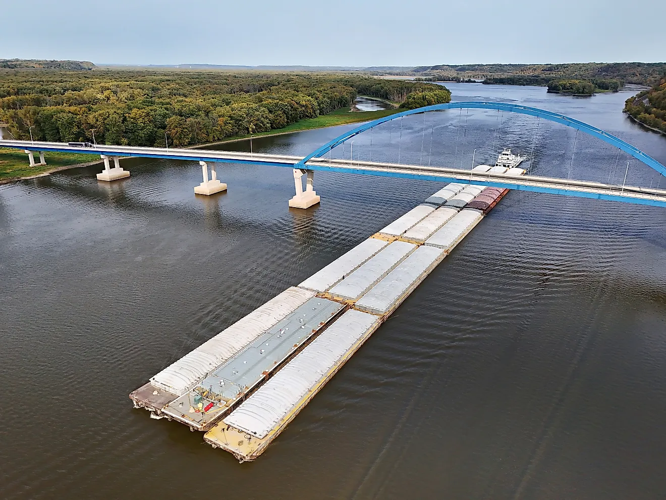
From the lake, the Mississippi River flows 2,350 miles before reaching the Gulf of Mexico via the delta. Its flow changes and increases as it moves south, reaching a maximum of 600,000 cubic feet per second in New Orleans. When it reaches the Gulf of Mexico, it discharges 593,003 cubic feet of water every second.

It is the largest river by volume in the United States, but is only the 15th worldwide, with the first being the Amazon River, which discharges a massive 7.38 million cubic feet every second. Most of the water from the Mississippi River comes not from its source in Lake Itasca but in the many tributaries.
The biggest by far is the Ohio River, which delivers more than 60% of its total water. In fact, 90% of its total water comes from the upper Mississippi River. This is why droughts in the Ohio River Valley can dramatically impact water levels in the Mississippi River Delta.
Human attempts to control delta flooding
As noted above, the delta is heavily impacted by natural forces, forming and eroding quickly. Human activity has also prominently altered the delta, especially in terms of flood and water controls.
In the 1860s, Congress carried out a survey of the Mississippi River Delta, with the goal of pursuing flood control. The survey recommended that redirecting tributaries or reservoirs would be ineffective, and that levees should be used instead to keep the alluvial valleys free of water.
However, the early levees proved ineffective to stop flooding, with floods in 1912, 1913, and 1927 causing vast damage to agriculture and human lives. In 1928, the Flood Control Act was passed by Congress, which proposed a multifaceted system to control the delta.
The goal of this act was to protect from a flood that was 11 percfent larger than the 1927 flood, which had flooded 27,000 square miles, displaced 700,000 people and killed up to 1,000 people.
In particular, it called for levees, floodways to redirect excess flow, dams and reservoirs, and channel management structures. This would become known as the Mississippi River and Tributaries Project, which would build 2,718 miles worth of levees and other flood control structures throughout the entire Mississippi River.
At the delta in particular, floodways are used to predict water flow down into the Atchafalaya River and Lake Pontchartrain. Flood control includes dikes, dredging, cutoffs, and revetments to control the meandering of the river.
The boundary between the Mississippi and the Gulf
If one were to take a photo of the place where the Mississippi meets the Gulf of Mexico, one would see a fairly noticeable difference, mainly the color. The Mississippi River will have a brown color, while the Gulf will be blue. This color difference is due to the same process that created the delta in the first place, sediment.
The Mississippi River delivers 500 million tons of sediment into the Gulf of Mexico annually, but this brown water goes over the top of the Gulf of Mexico, as freshwater is less dense than saltwater.
These two factors create a striking visual boundary where one can see clearly where the river ends and the vast Gulf of Mexico begins. Despite the color, the river isn't dirty, it's just carrying a vast number of sediments, which are still forming deltas to this day.