The Counties Where The Whole County Is A Floodplain
99% of counties within the United States have experienced a federally-certified flooding event, meaning even if you are living outside of a major floodplain you are almost guaranteed to experience some sort of water-related catastrophe regardless of location. Geographically, floodplains are basically a relief valve for rivers and coastlines. When these bodies of water overflow, they naturally spill into these low-lying territories. The thought of living in a designated flooding locality might seem counterintuitive to some, but for those who prioritize things such as fertile soil for agricultural means or land that is comparatively cheaper to build on, these plains are some of the most valuable real estate properties on the market. Either way, these towns are a vital part of the overall ecosystems they are located within and notable for the resilience of the territory and people alike.
Issaquena County, Mississippi

Based almost entirely inside the Mississippi River floodplain lies one of the flattest counties in all of America, Issaquena. With a population of less than 1500 as of 2025, over 80% of the terrain is covered by forest and wetlands. Most of the protection from regular flooding comes from the installed levees, which are essentially elevated ridges built from river sediment to reduce risk of continuous flooding.
Issaquena County is an inland backwater floodplain, meaning it floods not due to surges in natural bodies of water, but due to a man-made hydraulic trap. It stands at the lower end of the southern delta of Mississippi and is home to the Steele Bayou Drainage Structure, an enormous flood control barrier which serves as the only drainage exit for more than 2.6 million acres of farmland. When the river runs too high, responsible parties such as the Army Corps of Engineers will close the entry/exit points to keep it from flooding the delta, however, if too much rain hits the delta while those same points are closed, it tends to flow downhill into Issaquena and get trapped there. This "clogged bathtub effect" frequently makes it a high-risk zone according to FEMA, and can be quite a catastrophe for the community. The system successfully protects larger cities surrounding the Mississippi River, but Issaquena is effectively the sacrificial basin for its neighboring territories. At one point in 2019, a historic flood led to over 500,000 acres of the southern delta being almost submerged for more than five months, causing the agricultural economy of the community to lose hundreds of thousands if not millions of dollars.
Because the floods are so predictable, traditional residential developers tend to avoid building in this sector of the state. Yet, the wet and untamed landscapes naturally attract certain animals like waterfowl and white-tailed deer. The result is that the jurisdiction has attracted many high-end private hunting clubs despite the community itself ranking as one of the poorest in the country based on per-capita income. As per usual, although some real estate may not appeal to broader strokes of individuals, there is always someone ready to move in.
Plaquemines Parish, Louisiana

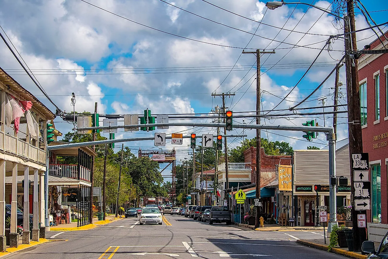
Unlike the other counties listed, the proper terminology for a municipality in Louisiana is actually a "parish" most likely due to the state's Roman Catholic colonial history while under French and Spanish rule. After the well-known "Louisiana Purchase" legislature originally aimed to divide the land into counties, locals revolted until ultimately successfully getting the government to back down and reorganize the territory into 19 districts based on the boundaries drawn by the existing Catholic parishes. Although the name stuck, the U.S. Census Bureau has since classified the now 64 parishes as county equivalents.
The majority of this place is simply sediment that has built up after being deposited consistently for thousands of years. That being said, the official parameters of Plaquemines Parish are approximately 2500 square miles, but approximately 70%, roughly 1,700 square miles, of the territory is literally open water. Residents number at about 22,000 according to recent estimates, but almost the entire population is situated on a thin strip flanking the banks on the Mississippi River. The region sits in what seems like a perpetual geographic pincer, with high-volume spring melt-water pressing against the parish's levees on the inside, and hurricane storm surges usually stemming from the Gulf of Mexico move against the area's levees on the outside, creating a double-sided flood in the worst case scenario. Due to those massive levees water cannot spread its silt across the marshes, and without receiving the fresh sediment required to build it up Plaquemines will continue to actively sink and erode right into the Gulf. In fact, Plaquemines is experiencing some of the fastest land loss of any county-equivalent in North America.
Coastal land loss is this parish's most immediate environmental concern, not just for the residents but for the sake of the many species of animals and plants that thrive there. Plaquemines is famous for its citrus orchards, specifically the satsuma oranges and creole tomatoes, which can only thrive in the nutrient rich river silt that, as aforementioned, has been spread throughout the locality for thousands of years prior to human architectural modifications. Evaluating both the repercussions and benefits of human interference in the territory is extremely useful for future city planning, especially for places similar to this one.
Pemiscot County, Missouri

Located in what is often referred to as "the bootheel" of Missouri is yet another exceedingly flat, alluvial, low-lying terrain which we know as Pemiscot County. In 1811-1812 a massive earthquake along the New Madrid Seismic Zone which it is situated by dramatically changed the landscape and river systems of the region, making it one of very few places whose history of flooding and seismic activity directly intersect.
Prior to the earthquake the territory was known to be relatively simple to traverse, but afterwards it became a waterlogged basin of marshes and sand dunes. The quake sequence resulted in soil liquefaction across the valley while seismic shockwaves pressurized the subsoil, ultimately resulting in some of the geographical phenomenon witnessed in the acreage to this day. The pressurized water and sand that erupted beneath the topsoil generated geysers up to 100 feet high, ultimately burying millions of acres of fertile earth under thick, sterile sand. What was previously a pristine cluster of hardwood forests sank and created new marshlands and cypress swamps. If you were to look at a satellite image of Pemiscot today you would still be able to see thousands of pale circular patches, which in actuality are 200 year sand blows, which are essentially sand volcanoes formed in cones by its ejection onto the surface from a central starting point. To drain the sunken territories that the earthquake created, engineers created the "Little River Drainage District" and dug miles of canals and formed river levees, ultimately moving more earth than what occurred during the construction of the Panama Canal.
Pemiscot is home for more than 14,000 residents who are largely concentrated in three small towns, mostly attracting agriculturalists who produce high-volume crops such as soybeans, corn, cotton, and rice, ranking 4th in Missouri for cotton and being considered a major hub for long-grain rice. Due to the profitability factors, certain farm owners believe the soil quality substantially outweighs any flood risk, and is somehow worth the ache of living with things that cannot be changed.
St. Francis County, Arkansas

This locality is almost entirely located within the Mississippi Alluvial Plain, its landscape characterized by extremely low elevation changes and flat terrain, amongst its rich soil and extensive agricultural acreage similar to many others within this list. However, this county does not happen to contain a floodplain, the floodplain is quite literally the county's geography.
The Mississippi Alluvial Plain stretches across 7 states, making it one of the biggest floodplains in the United States and greater North America. This region sits on banks that were repeatedly rebuilt by its nearby body of water through consistent flooding resulting in rich sediment build up, eventually the point where people could move into the area. One of the major geographic oddities of St Francis is Crowley's Ridge, a narrow but elevated ridge that rises above the plain. The geography creates a striking contrast to the low-lying plains, and serves as a perpetual reminder of the effects a body of water can have when shaping a landmass and the qualities that result from it. As is typical for the other counties located in floodplains, the locale has extensive drainage canals, water-control systems, and levees to alleviate the intensity of flood damage. While the majority of agricultural-focused territories tend to fluctuate between crop fields and terrain for livestock, nearly 100% of St Francis' 233 million in annual agricultural sales stem from crop cultivation, including soybeans, cotton, and wheat with nearly no pastureland nor any commercial livestock production. The people here have deep ties to the real estate, mostly encompassing families who have worked the same property as their forefathers for several generations. Despite concerns about flooding, the population stands at approximately 22,000, and while it has slipped in recent years, residents still point to the area's affordable homes and low cost of living.
As with any place there are tradeoffs to be made, and beyond the geology of the environment it is not known for being overly aesthetically-pleasing. People in the locale seem to appreciate the more simple aspects, like how the sky seems so big due to the municipality's zero-elevation and lack of obstructions from the view. The undrained lowlands and its river chutes are filled with ancient cypress trees that rise straight out of the dark, glossy water. Its uniqueness lies not just in its landscape, but in the people who were not only willing to bear with the ebbs and flows of the inundation events, but have done so for generations.
Miami-Dade County, Florida

Last but not least we have the region known more for its pop-culture capital than its floodplain, Miami-Dade County. Although it is the location of some of the most iconic tv franchises and films to date, including Miami Vice, Scarface, and Dexter, and somewhat of a tourism powerhouse, it is also a literal sponge beneath your feet.
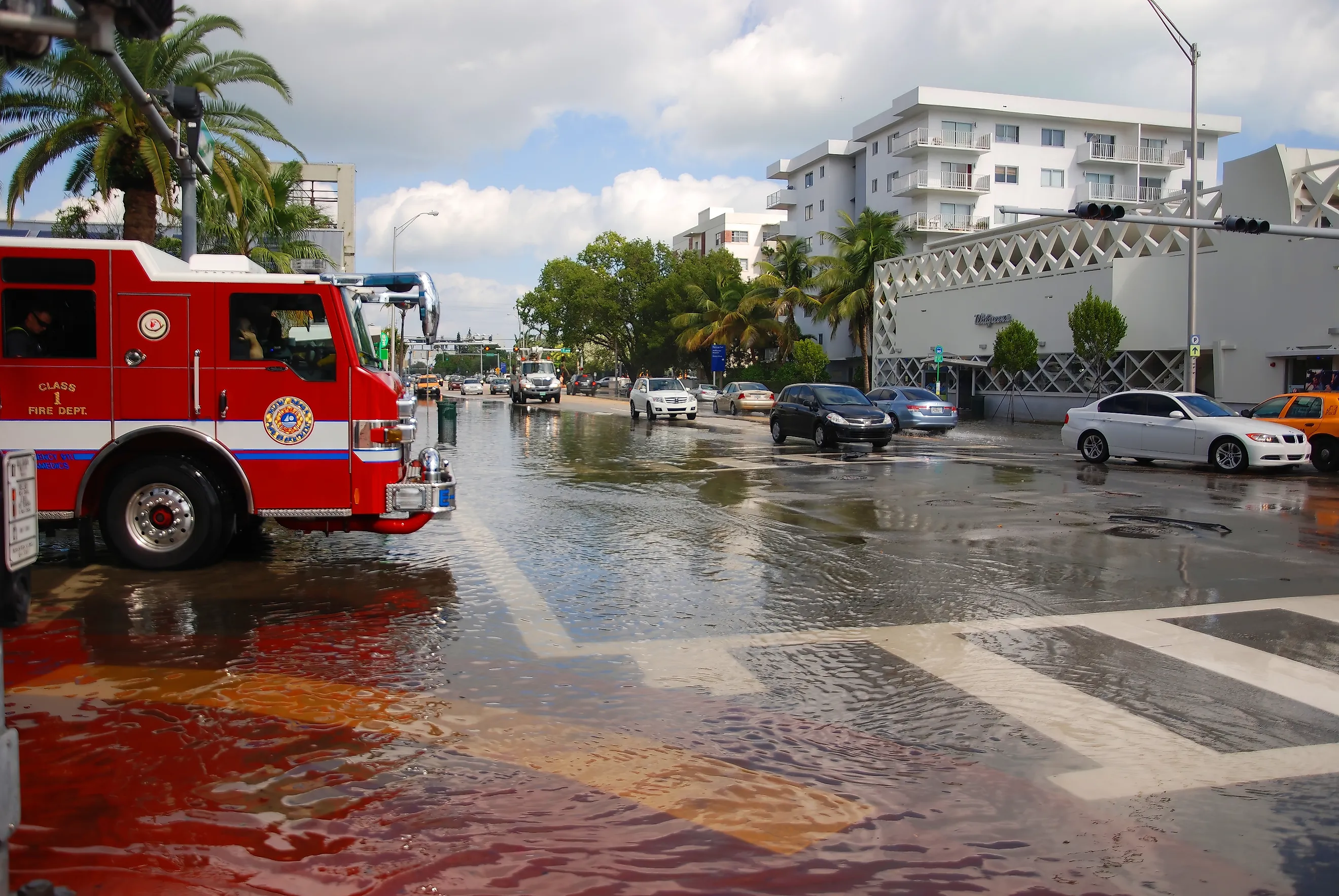
Unlike the majority of other inundation zones like Pemiscot or Plaquemines Parish which deal with overflow of surface water coming from riverbanks or water levees, this county's challenges come from what lies beneath it. Miami-Dade sits right atop the Biscayne Aquifer, a gigantic layer of porous oolitic limestone. Due to its many interconnected holes building a traditional levee to keep water out is not a viable option, and if a large wall was built atop of the holed-limestone the floodwater from a storm or nearby bodies of water would simply flow underneath the wall and rise directly from the ground within the city. Seeing that this territory is sandwiched between the Atlantic Ocean and the Shark River Slough of Everglades National Park, most of the jurisdiction sits under 6-10 feet of elevation and instead rely on a gravity-fueled drainage system that pushes floodwater into Biscayne Bay. This can occasionally backfire during high tide when the ocean level sits higher than the storm drains, sometimes resulting in the seawater flowing backwards through the same drainage pipes and ultimately flooding urban territories even on completely sunny days with no rain in sight.
It is easily the most populated on our list with over 2.7 million residents in the locality. Vibes are pretty typical to the Florida standard. With tropical weather and lovely beaches, this could be considered one of the more aesthetically-pleasing counties comparatively. Regardless, living in a low-lying area this exposed to flooding is a high-stakes calculation, and the people who made this place their home have learned to live with that.
Final Thoughts
These wetlands and floodplains play an imperative role in maintaining the ecological balance of its surrounding localities. Although one could argue these environments are less than inviting for human settlers, it is an essential habitat for a rich array of animal and plant species alike that have made a home in the marshes, swamps, and bogs that the plain has sprouted. Many people tend to undervalue territories that do not display obvious benefits to the immediate human needs, but this does not take away from the geographical and cultural importance of the terrain, nor does it mean we should ever stop learning about them and the role it plays in keeping all of us dry and safe whether we notice it or not.