The 10 Lowest Places On Earth
Mount Everest gets all the press, but Earth's basement is arguably the stranger place. Between the planet's highest point (8,849 meters/29,031 feet up) and its lowest exposed land (about 440 meters/1,444 feet down), tectonic plates, volcanoes, erosion, wind, floods, and the occasional meteorite have carved out some truly bizarre real estate. This list heads straight downhill: the ten lowest points on dry land. The ocean's trenches go far deeper, but they cheat by being underwater, so they get their own companion piece.
1. Dead Sea, Jordan/Israel - about 440 meters below sea level

The Dead Sea, Al-Bahr Al-Mayyit in Arabic and Yam HaMelah in Hebrew, is the undisputed champion of down. This hypersaline lake sits in the Jordan Rift Valley, bordered by Jordan to the east and Israel and the West Bank to the west, wedged between the hills of Judea and the Transjordanian plateaus. As of 2025, its surface sits roughly 440 meters (1,444 feet) below sea level, and here is the strange part: it breaks its own record every year. With the Jordan River long since diverted for farms and cities, the lake loses more water to evaporation than it takes in, and the surface drops by more than a meter annually. The lowest place on Earth is actively digging.
2. Lake Assal, Djibouti - 155 meters below sea level

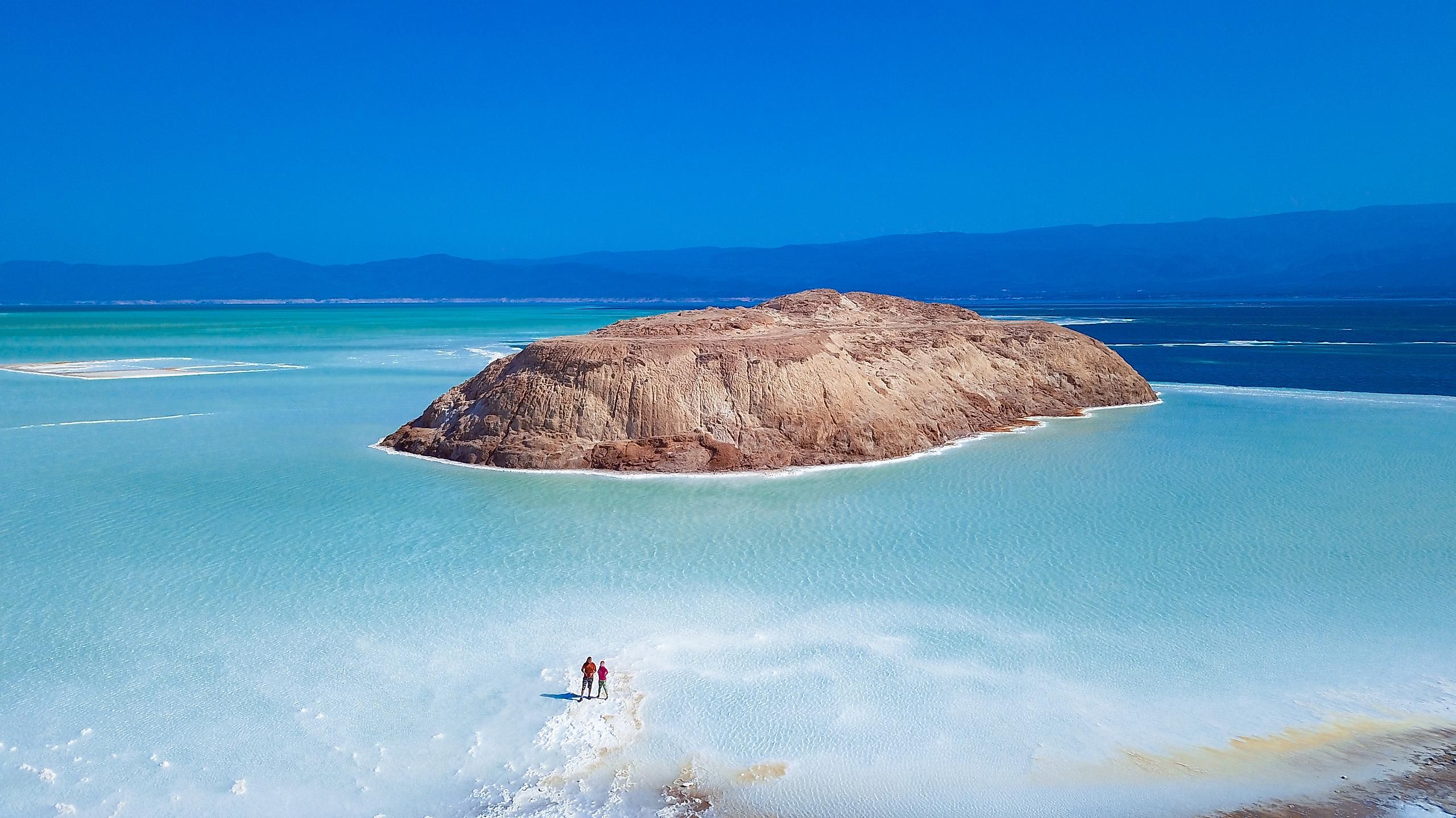
Second place belongs to a lake that makes the Dead Sea look diluted. Lake Assal, a crater lake near the center of Djibouti, plunges to 155 meters (509 feet) below sea level and runs about 35% salinity, enough to preserve just about anything you drop in it. Djibouti itself is a small Horn of Africa nation with Eritrea to the north, Ethiopia to the west, Somalia to the southeast, and the Red Sea and Gulf of Aden on its coast. The endorheic lake sits in the Afar Lowland within the Tadjoura Region, part of the great rift system that is slowly tearing this corner of Africa apart. Locals have harvested its salt for centuries, which at least gives the scenery a job.
3. Turpan Pendi, China - 154 meters below sea level

Lake Assal holds second place by a single meter. The Turpan Depression (also Turfan or Tulufan Pendi) bottoms out at 154 meters (505 feet) below sea level, making it the lowest point in China and the bronze medalist worldwide. This roughly 20,000-square-mile (50,000-square-kilometer) basin sits in the Xinjiang Uygur Autonomous Region of northwestern China, and despite being a scorching hollow in a desert, it is productive farmland, irrigated for centuries by ingenious underground channels. The oasis city of Turpan anchors the basin's northern side and once served travelers on the Silk Road, who presumably appreciated that the road ran downhill for a while.
4. Qattara Depression, Egypt - 133 meters below sea level

In northwestern Egypt, the Sahara quietly hides a hole bigger than some countries. The Qattara Depression slumps to 133 meters (435 feet) below sea level and sprawls across more than 7,000 square miles (over 18,100 square kilometers) of salt lakes, marshes, salt pans, and dunes, a footprint-shaped basin scoured out over millennia as wind stripped away the eroding rock. It is almost entirely uninhabited, which is what happens when your major exports are quicksand-like salt marsh and heat.
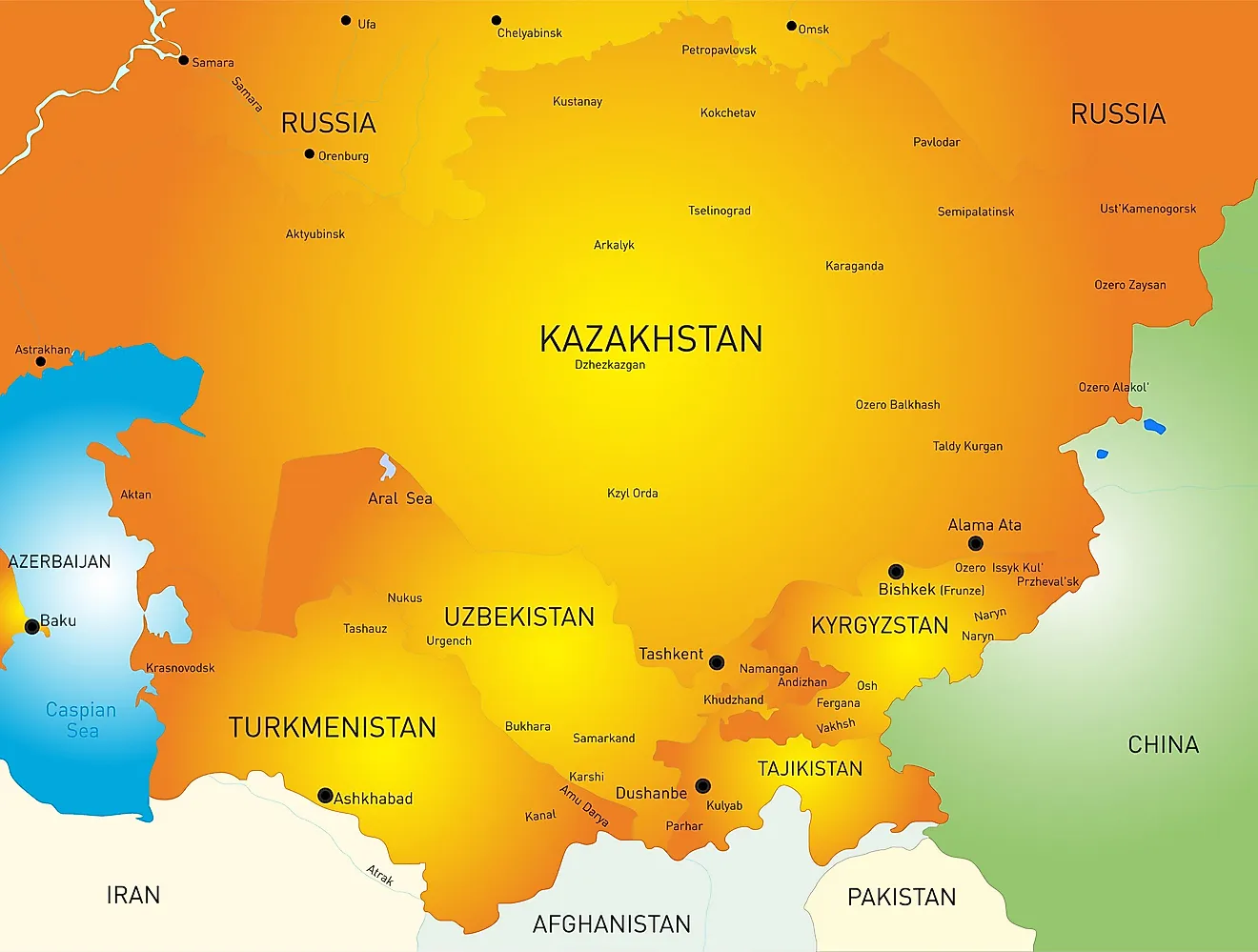
5. Vpadina Kaundy, Kazakhstan - 132 meters below sea level

Vpadina Kaundy marks the floor of the Karagiye Depression, a 25-mile (40-kilometer) karst trench on the Mangyshlak Peninsula in western Kazakhstan, near the Caspian Sea. At 132 meters (433 feet) below sea level, it is the lowest point in Central Asia and the entire former Soviet Union, a title it earned the slow way: an ever-growing network of potholes, funnels, and caves dissolved through the rock until the whole roof gave up and collapsed.
6. Denakil, Ethiopia - 125 meters below sea level

The Denakil Depression (also spelled Danakil, and part of the wider Afar Depression) is what happens when a sea dies and nobody cleans up. Sitting 125 meters (410 feet) below sea level in northeastern Ethiopia near the Eritrean border, it formed where the African (Nubian), Somali, and Arabian tectonic plates are pulling away from one another. This land was once part of the Red Sea until volcanic activity walled off an inland arm of it, which the merciless heat then evaporated away. What remains is a neon-colored landscape of salt flats, acid springs, and the Dallol volcano, with air temperatures that still routinely soar past 122 degrees Fahrenheit (50 degrees Celsius). Scientists study it as an analogue for alien planets, which tells you everything about the vacation potential.
7. Laguna del Carbon, Argentina - 105 meters below sea level

Laguna del Carbon, literally "Coal Lake," holds a remarkable stack of titles for a salty puddle in Patagonia: at 105 meters (344 feet) below sea level, it is the lowest point in Argentina, the lowest in both the Southern and Western Hemispheres, and therefore the lowest place in half the world, twice over. It sits in Santa Cruz Province's Corpen Aike Department, near the town of Puerto San Julian, within the broader basin known as San Julian's Great Depression. Like the Salton Sea far to its north, it is endorheic and salty; unlike the Salton Sea, nobody built resorts on it first.
8. Death Valley, United States - 86 meters below sea level

Death Valley collects extreme-weather trophies the way other places collect parking meters. This stretch of the Mojave Desert in eastern California holds the official world record for hottest air temperature, a sizzling 134 degrees Fahrenheit (56.7 Celsius) logged in the summer of 1913, ranks among the driest places in the United States at under 2 inches of rain in a typical year, and contains the lowest point in North America. That last honor belongs to the powdery-white salt floor of Badwater Basin, 86 meters (282 feet) below sea level, where a sign helpfully marks where sea level would be, high up on the cliff behind you.
9. Vpadina Akchanaya, Turkmenistan - 81 meters below sea level
Vpadina Akchanaya is the one entry on this list that even the guidebooks forgot. Part of the Akdzhakaya Depression in northern Turkmenistan, it dips to 81 meters (266 feet) below sea level inside the Karakum Desert, one of the driest places in Central Asia. The nearest major city is Dasoguz to the east, and the border of Uzbekistan arcs across the north. It is a hole in a desert in a country few travelers ever see, which arguably makes it the most exclusive destination here.
10. Salton Sea, United States - 69 meters below sea level

The Salton Sea rounds out the list with the best origin story of the bunch: California's largest lake exists because of a plumbing accident. In 1905, an irrigation canal cut from the Colorado River breached, and the river spent about two years pouring into this basin along the San Andreas Fault before engineers wrestled it back. The resulting saline, endorheic lake, south of Joshua Tree National Park and southeast of Palm Springs, sits roughly 69 meters (226 feet) below sea level, the second-lowest point in both the country and North America. Not bad for a mistake.
The Bottom Line, Literally
Sea level, it turns out, is more of a suggestion than a rule. Rifting plates, dissolving rock, relentless wind, one thirsty river system, and a single catastrophic canal breach have all conspired to punch these holes in the continents, and at least one of them is still getting deeper by the year. The summits may get the flags and the photographs, but the planet's low points are doing something the mountains never manage: setting new records without anyone having to climb a thing.