Which Countries Border Italy?
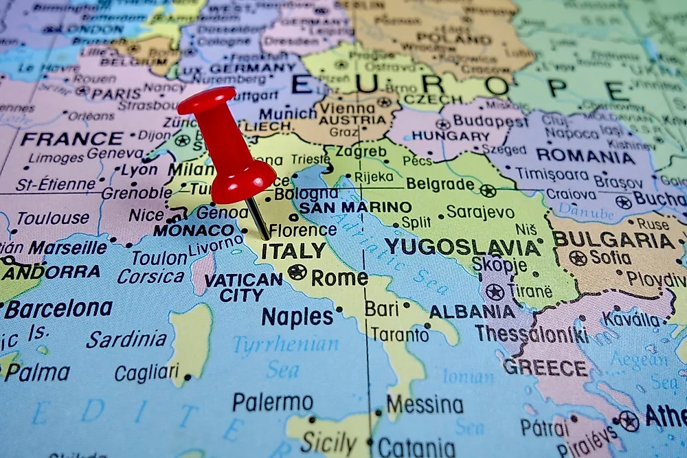
Italy shares land borders with six countries, and the mix is an unusual one. Four are Alpine neighbors strung along the country's northern arc: France to the northwest, then Switzerland, Austria, and Slovenia moving east. The other two are among the smallest states on Earth, San Marino and Vatican City, both landlocked microstates that sit entirely inside Italian territory. Altogether Italy's land boundaries run about 1,836 kilometers (1,141 miles) according to the CIA World Factbook, though the figures vary slightly by source. The great majority of that line is drawn by the Alps, the mountain wall that both separates the Italian peninsula from the rest of the continent and, through its passes, connects it.
The France Border

Italy and France share a border of about 476 kilometers (296 miles) that runs through the highest country in the Alps. It begins in the north at the summit of Mont Dolent, the tripoint where Italy, France, and Switzerland meet, and heads south to the Mediterranean, ending between the towns of Menton in France and Ventimiglia in Italy. Along the way it passes close to Mont Blanc, the tallest peak in the Alps at 4,808 meters, whose exact summit is still gently disputed between the two countries. Four French departments touch the border, Haute-Savoie, Savoie, Hautes-Alpes, and Alpes-Maritimes, facing the Italian regions and provinces of the Aosta Valley, Turin, Cuneo, and Imperia. Because the terrain is so rugged, most traffic crosses through tunnels and passes rather than over the peaks, among them the Mont Blanc Tunnel, the Frejus Tunnel, the Little St Bernard Pass, and the Col Agnel. The modern border dates to the 1947 Treaty of Paris, which followed the Second World War and returned the districts of Tende and La Brigue to France after local plebiscites. Almost a century earlier, the 1860 Treaty of Turin had handed Savoy and Nice from the Kingdom of Sardinia to France.
The Switzerland Border

Switzerland shares Italy's longest land border, roughly 698 kilometers (434 miles). It starts at the tripoint of Mont Dolent and runs east to a second tripoint near Piz Lad, where Switzerland, Italy, and Austria meet. This is a border of extremes. It climbs above 4,600 meters (about 15,100 feet) where it skirts the Monte Rosa massif near Dufourspitze, the highest point in Switzerland, and it passes the unmistakable pyramid of the Matterhorn. It also sinks to the lowest point in the whole of Switzerland at the shore of Lake Maggiore, which sits about 193 meters (630 feet) above sea level. The border touches the Swiss cantons of Valais, Ticino, and Graubunden and the Italian regions of the Aosta Valley, Piedmont, Lombardy, and South Tyrol. Its modern form was largely settled by treaties in the 1860s and 1870s and has barely moved since, apart from a small adjustment in the 1950s that transferred land around the Lago di Lei dam to Switzerland.
The Austria Border

The border with Austria runs for about 404 kilometers (251 miles) across the eastern Alps, and its single most important feature is the Brenner Pass. At roughly 1,370 meters, the Brenner is one of the lowest and most usable crossings in the entire Alpine chain, and it has carried traffic between the two lands for centuries. Today it funnels a railway, a motorway, and a large share of the freight moving between northern and southern Europe. This border is comparatively young. Most of the land on the Italian side, the German-speaking region of South Tyrol, belonged to Austria until the end of the First World War, when the 1919 Treaty of Saint-Germain transferred it to Italy. In more recent years the frontier has occasionally tightened, most notably in 2016 and 2017, when Austria discussed reintroducing controls and even deploying troops at the Brenner during the European migration crisis, straining relations before the plans were dropped.
The Slovenia Border
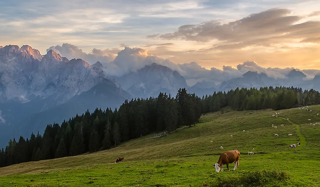
Italy's border with Slovenia is the shortest of its four Alpine neighbors at about 218 kilometers (135 miles). It starts at the tripoint with Austria and drops south through the Julian Alps and the Karst plateau to the Adriatic Sea near Trieste. In one sense this is Italy's newest border, because for most of the 20th century the land on the far side belonged to Yugoslavia, and the line only became an international boundary between two sovereign states when Slovenia declared independence in 1991. The area around Trieste and Gorizia was bitterly contested after both world wars, passing through Austro-Hungarian, Italian, and Yugoslav hands and even spending several years after 1947 as the internationally administered Free Territory of Trieste before it was divided in 1954. Since Slovenia joined the European Union and the Schengen Area, the crossings have opened up, and today a person can walk between the twin towns of Gorizia in Italy and Nova Gorica in Slovenia without stopping.
San Marino, a Country Within Italy
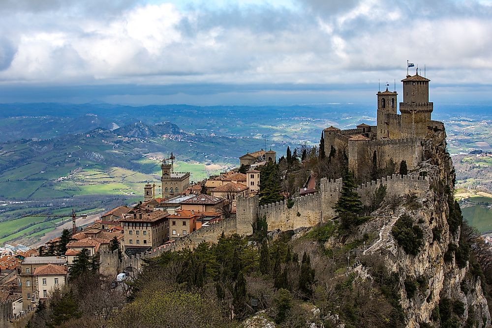
The first of Italy's two enclaved neighbors is San Marino, which sits on the slopes of Monte Titano in the Apennines, near the Adriatic coast between the Italian regions of Emilia-Romagna and Le Marche. It is one of the smallest countries in the world, the fifth-smallest by area at about 61 square kilometers, and it claims to be the oldest surviving sovereign state and republic on Earth, traditionally founded in the year 301. Its border with Italy runs about 37 kilometers (23 miles), and because the microstate is completely surrounded, every road in and out of it crosses into Italy, with the nearby towns of Rimini and Pesaro serving as the main gateways. San Marino has no airport and no working railway, so almost everyone arrives by car or bus.
Vatican City, the Shortest Border
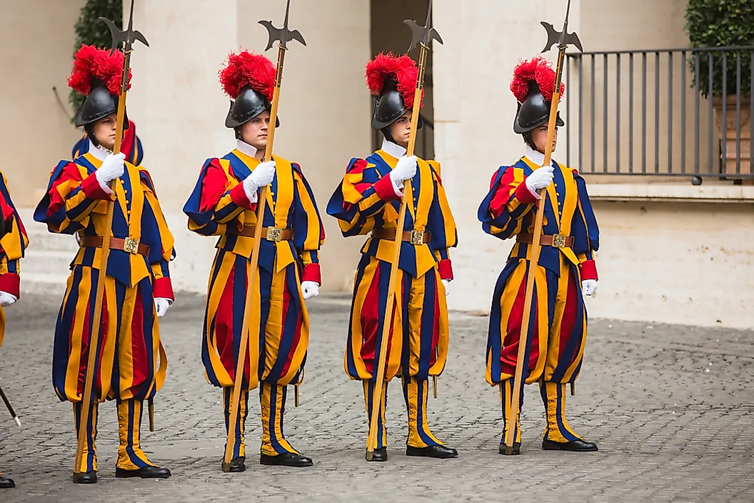
The second enclave is Vatican City, the seat of the Roman Catholic Church, which lies entirely inside the city of Rome. It is the smallest sovereign state in the world by both area and population, covering just 0.49 square kilometers with only a few hundred residents. Fittingly, its border with Italy is one of the shortest international boundaries anywhere on the planet, running only about 3.4 kilometers (2.1 miles), most of it tracing the line of the old Vatican walls. The Vatican has been an independent state since the 1929 Lateran Treaty settled its long-disputed status with Italy, and although it is wrapped entirely within Rome, a handful of important church properties elsewhere in the city carry a special extraterritorial status.
Italy's Land Borders at a Glance
| Country | Border length (km) | Border length (mi) | Type |
|---|---|---|---|
| Switzerland | 698 | 434 | Alpine neighbor (longest) |
| France | 476 | 296 | Alpine neighbor |
| Austria | 404 | 251 | Alpine neighbor |
| Slovenia | 218 | 135 | Alpine neighbor (shortest of the four) |
| San Marino | 37 | 23 | Enclaved microstate |
| Vatican City | 3.4 | 2.1 | Enclaved microstate (shortest border) |
| Total | ~1,836 | ~1,141 | Six bordering countries |
Border lengths follow the CIA World Factbook; national agencies sometimes report slightly different figures, so the numbers above are best read as close approximations rather than exact surveys.
A Few Border Curiosities
A handful of quirks are worth noting. Despite the German widely spoken in South Tyrol, Italy does not border Germany at all; Austria sits between the two. Italy also keeps a small piece of itself on the wrong side of a frontier: Campione d'Italia is a town of Italian territory completely surrounded by Switzerland on the shore of Lake Lugano, where residents long used Swiss francs and Swiss telephone codes. And while the Alps can look like a permanent, natural wall, the borders drawn across them have shifted repeatedly within living memory, redrawn again and again by the treaties that ended two world wars.
Mountains and Microstates
Italy's six borders capture the country in miniature. Four of them trace the great Alpine arc that has both walled off and connected the peninsula to the rest of Europe for thousands of years, while the other two wrap around a pair of tiny states that outlasted the empires once surrounding them. Together they make Italy one of the very few countries on Earth to completely enclose not one but two of its sovereign neighbors.