What Continent Is Hawaii In?
Ka Lae, the wind-scoured southern tip of Hawaii Island, is the southernmost point in the fifty states, and more than 2,000 miles of open ocean separate it from the nearest continental coastline. That distance is why the question in the title has no single clean answer. Politically, Hawaii is filed with North America, because it is one of the fifty US states. Geologically, it belongs to no continent at all, since the islands are volcanic summits standing on the floor of the Pacific Ocean far from any continental shelf. By regional and cultural geography, Hawaii is Polynesian, part of the island world of Oceania. Each answer is correct inside its own system, and nearly all of the confusion comes from mixing the systems together.
Where Hawaii Actually Sits
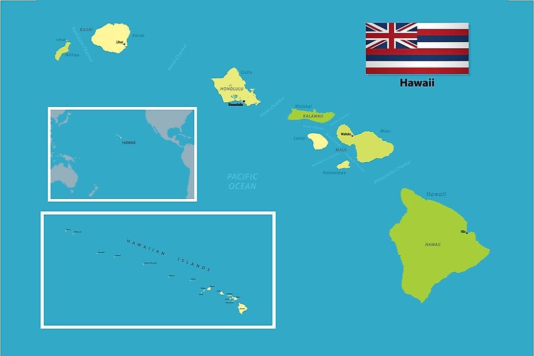
Honolulu lies at roughly 21 degrees north latitude and 158 degrees west longitude, near the middle of the North Pacific Ocean. San Francisco is about 2,390 miles to the northeast, Tokyo about 3,850 miles to the west, and Sydney roughly 5,070 miles to the southwest. No other population center of comparable size on Earth is farther from a continental landmass, which is why Hawaii is routinely described as the most isolated inhabited place in the world.
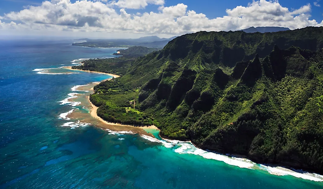
The state is a chain rather than a single landmass. Eight main islands sit at the southeastern end, and roughly 124 smaller islands, atolls, reefs, and shoals continue northwest for about 1,500 miles, ending at Kure Atoll. Land area totals 6,423 square miles, which makes Hawaii the 46th largest state, though the figure climbs to roughly 10,970 square miles once inland and coastal waters are counted. The Census Bureau put the resident population at 1,432,820 as of July 1, 2025, a slight decline against the 2020 census base.
What Makes a Landmass a Continent
There is no treaty or statute that defines a continent, which is part of why the question stays open. Geologists work from crust type instead. Continental crust is thick, silica-rich, and comparatively buoyant, typically 25 to 40 kilometers deep and considerably thicker under major mountain ranges. Oceanic crust is thin and dense, generally 5 to 10 kilometers deep, and made largely of basalt. A landmass usually earns continental status when it combines that thick crust with a large area, a varied record of igneous, metamorphic, and sedimentary rock, clear geological boundaries, and elevation above the surrounding seafloor.
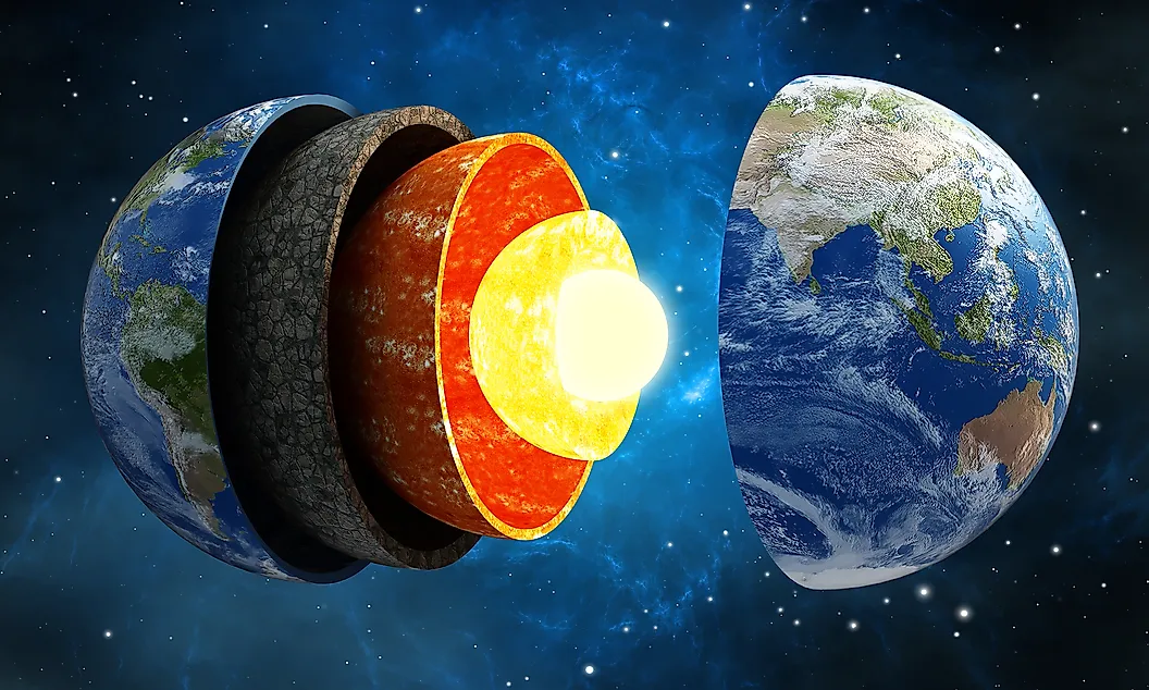
The model taught across most of the English-speaking world recognizes seven continents: Africa, Antarctica, Asia, Australia, Europe, North America, and South America. Other national curricula merge the Americas or treat Eurasia as one unit, and several replace Australia with Oceania. Hawaii fails the crust test under every one of these models. The seafloor beneath the archipelago is ordinary Pacific oceanic crust, tens of millions of years older than the volcanoes standing on it, and no continental shelf reaches anywhere near the islands.
A Hotspot Built the Islands, Not a Continent
The Hawaiian Islands were assembled by a mantle plume rather than by the plate collisions that raise continents. Heat from the Hawaii hotspot partially melts mantle rock starting somewhere between 125 and 250 miles below the surface, and the resulting magma rises through the overlying crust to erupt on the seafloor. Eruption after eruption builds a shield volcano until it breaks the surface as an island.

The hotspot stays roughly put while the Pacific Plate carries each finished volcano away toward the west-northwest, which is why the islands age in sequence along the chain. Volcanism on Kauai ended about 3.8 million years ago, making it the oldest of the main islands, while Hawaii Island at the southeastern end is only a few hundred thousand years old. The trail continues underwater as the Hawaiian-Emperor seamount chain, some 3,900 miles of drowned volcanoes reaching the Aleutian Trench, with a pronounced bend dated to about 43 million years ago that records a change in the plate's direction of travel.

The process has not stopped. Kamaehuakanaloa, the seamount formerly called Loihi, sits about 22 miles off the southeast coast of Hawaii Island with its summit roughly 3,200 feet below the surface, and it is expected to reach sea level sometime in the next 10,000 to 100,000 years. The scale involved is easy to underestimate: Mauna Kea stands 13,796 feet above sea level, but measured against its base on the seafloor it rises roughly 33,500 feet, making it the tallest mountain on Earth by that measure. None of this resembles how a continent forms, which happens over billions of years through accretion, collision, and the slow growth of ancient cratons.
The Political Answer Is North America
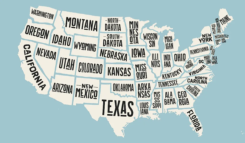
Congress passed the Hawaii Admission Act on March 18, 1959, island voters ratified statehood in a referendum that June, and President Eisenhower proclaimed Hawaii the fiftieth state on August 21, 1959. Statehood is the reason nearly every administrative system files the islands under North America. The Census Bureau groups Hawaii with the Pacific division of the West region alongside California, Oregon, Washington, and Alaska. The United Nations statistical geoscheme assigns the entire United States to Northern America, so Hawaii is counted with the Americas in UN data.

That same geoscheme is worth a closer look, because it cuts the other way too. The UN definition of Oceania covers discrete political entities, which means it excludes Hawaii along with Japan's Bonin Islands, France's Clipperton Island, and Chile's Rapa Nui. Hawaii disappears from the Oceania column not for any geographic reason but because the unit of accounting is the sovereign state. The practical consequences of the political answer are real enough, from federal law and two seats in the House of Representatives to the Hawaii-Aleutian time zone, which runs ten hours behind Coordinated Universal Time and does not observe daylight saving. What the political answer is not is a claim about rock.
The Regional Answer Is Polynesia
Physical geographers place Hawaii in Polynesia, the easternmost of the traditional island groupings within Oceania. Hawaii forms the northern vertex of the Polynesian Triangle, with Aotearoa New Zealand at the southwestern corner and Rapa Nui at the southeastern one. The Hawaiian language belongs to the Polynesian branch of the Austronesian family and is closely related to Marquesan, Tahitian, Samoan, and Maori, a relationship visible in shared vocabulary, navigation traditions, and religious practice across thousands of miles of ocean.

Here is where the older version of this question usually goes wrong. Oceania is a regional grouping, not a body of continental crust. It bundles Australasia, Melanesia, Micronesia, and Polynesia into one unit for convenience, and in several countries it is taught as the continent that stands in place of Australia. The only landmass in the region built on genuine continental crust is Australia itself, joined by the largely submerged mass of Zealandia beneath New Zealand. Saying Hawaii is in Oceania is therefore a statement about region, not about continental geology, and treating the two as interchangeable is what produces the false impression that Hawaii sits on some Oceanian plate.
How People Reached the Islands
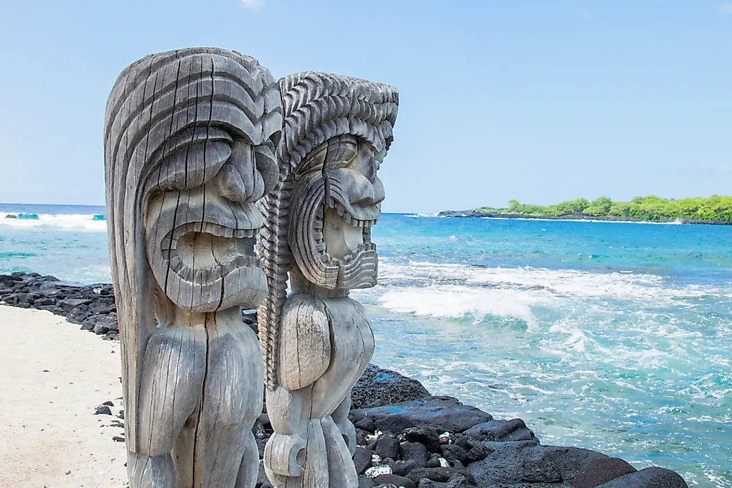
Polynesian voyagers sailing double-hulled canoes made the crossing from central East Polynesia, with the Marquesas and the Society Islands the most commonly proposed homelands. Older accounts dated that arrival to roughly 300 or 400 CE, and those dates still circulate widely, but high-precision radiocarbon methods retired them. Current archaeological consensus places initial settlement between about 1000 and 1300 CE, with the most tightly controlled dating pointing to the thirteenth century. Navigators found the islands without instruments, reading star paths, ocean swells, cloud formations, and the flight lines of seabirds.
James Cook's ships sighted the archipelago on January 18, 1778, and landed at Waimea on Kauai two days later; Cook named the group the Sandwich Islands and was killed at Kealakekua Bay the following February. Kamehameha I unified most of the archipelago by 1795, with Kauai and Niihau coming under his authority in 1810. The demographic aftermath of contact was catastrophic. Pre-contact population estimates are genuinely disputed among scholars, ranging between roughly 200,000 and more than 800,000, but the direction of the collapse is not in question: the first all-island census, taken by missionaries in 1831 and 1832, counted about 130,000 people, and by 1850 the figure had fallen below 85,000. Introduced diseases against which islanders had no acquired immunity did most of that damage.

The Hawaiian Kingdom was overthrown on January 17, 1893, by a committee of largely American residents backed by US Marines. A Republic of Hawaii followed in 1894, the United States annexed the islands by the Newlands Resolution of July 7, 1898, with sovereignty formally transferred that August, and the Organic Act of 1900 established the Territory of Hawaii. Congress passed a joint resolution in 1993 apologizing for the role the United States played in the overthrow.
The Answer, Stated Three Ways
Hawaii is an oceanic archipelago that sits on no continent, is administered as part of a North American country, and lies within the Polynesian subregion of Oceania. All three statements hold at once because they answer different questions: one about crust, one about jurisdiction, and one about regional and cultural geography. If a single sentence is needed, the geological one is the most defensible, since it describes the islands themselves rather than the systems people use to sort them. The Hawaiian Islands are the summits of volcanoes built on the floor of the Pacific, and the nearest continental crust in any direction is more than 2,000 miles away.