What Are The Climate Zones Of The US?
- The Big Island of Hawaii is home to 8 out of 10 unique climatic sub-zones ranging from monsoon rains to arid desert.
- Seattle has the coldest summers of any American capital city, even colder than Juneau, Alaska.
- There are 9 climate zones in the contiguous United States, and 10 including the tropical climate zone of Hawaii.
Ask what climate the United States has and there is no single answer. Stretching across the width of North America, with outposts in the Arctic and the tropics, the country runs through nearly every climate on Earth, spanning rainforest, desert, and tundra. To make sense of it, the National Oceanic and Atmospheric Administration (NOAA) divides the contiguous US into nine climate regions, each a cluster of states with broadly similar weather. They are not quite the same as formal climate types like "humid subtropical" or "arid," since most regions contain several, but they are a handy way to carve up a very large, very varied country. Here is a tour of all nine, plus the two states that sit in a category of their own.
Northeast

The Northeast packs eleven states into one of the smallest climate regions, covering New England along with New York, New Jersey, Pennsylvania, Maryland, Delaware, and Rhode Island. It runs a full four-season program: warm, humid summers, brilliant autumn foliage, and winters that can bury the region under nor'easters. Sitting against the Atlantic, it gets precipitation year-round, and its interior falls within the frost belt, where hard winter cold is simply a fact of life.
Northwest

The Pacific Northwest, made up of Washington, Oregon, and Idaho, is the country's rainy corner. Damp air rolling in off the Pacific slams into the Cascades and the Coast Ranges and wrings itself out as near-constant drizzle, fog, and mist, especially west of the mountains. Temperatures stay mild and narrow, often lingering in the 40s and 50s, with snowy winters at higher elevations. This is the land of temperate rainforest, mossy conifers, and gray skies that locals wear as a badge of honor.
West

Just two states make up the West region, California and Nevada, and between them they hold some of the sharpest contrasts in the country. Blistering low deserts sit a short drive from snow-capped high sierra, and foggy Pacific coastline gives way to baking inland valleys. Rainfall follows the same pattern of extremes: the wettest corners of Northern California can top 100 inches a year, while parts of the Nevada desert scrape by on just a few. This is the sun-drenched region that has drawn millions of people west, weather and all.
Upper Midwest

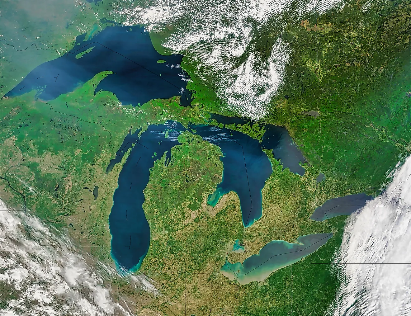
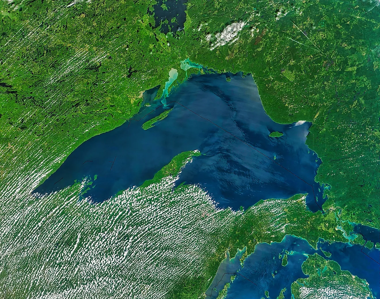
Sometimes called the East North Central region, the Upper Midwest, comprising Minnesota, Wisconsin, Michigan, and Iowa, hugs the Great Lakes and lives by their rules. Summers are warm and often stormy, while winters are long, snowy, and brutal, sharpened by the snowbelt that piles up downwind of the lakes. In January, temperatures across Minnesota and Wisconsin can plunge well below zero, with readings near minus 30°F in the coldest snaps.
Northern Rockies And Plains

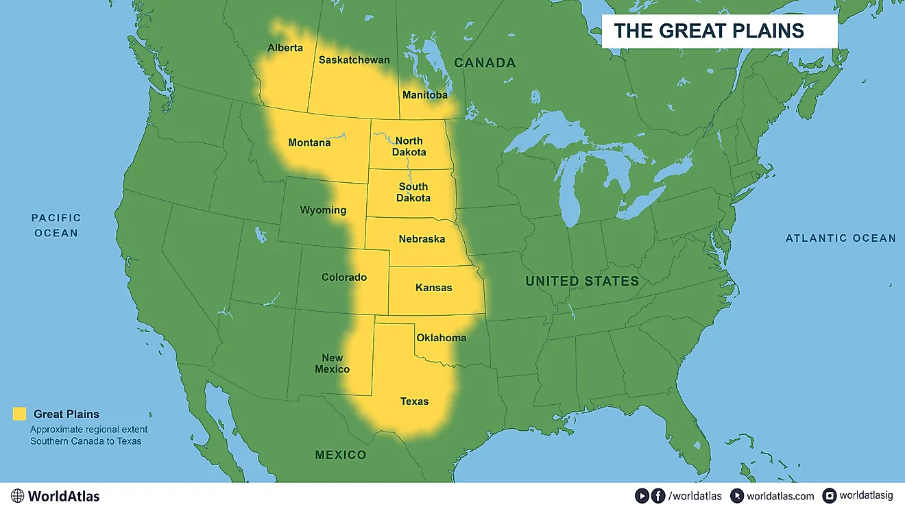
Also known as the West North Central region, this big, sparsely populated stretch, Montana, Wyoming, North Dakota, South Dakota, and Nebraska, runs on a continental climate of four sharp seasons: snow-blasted winters and warm, sunny summers, with low humidity and modest rainfall. Wind is the wild card. When warm, dry Chinook winds pour down off the Rockies, they can rewrite the thermometer in minutes. On January 22, 1943, a Chinook drove the temperature in Spearfish, South Dakota up by 49 degrees in just two minutes, climbing past minus 4°F to 45°F, still the fastest temperature change ever recorded on Earth.
Ohio Valley

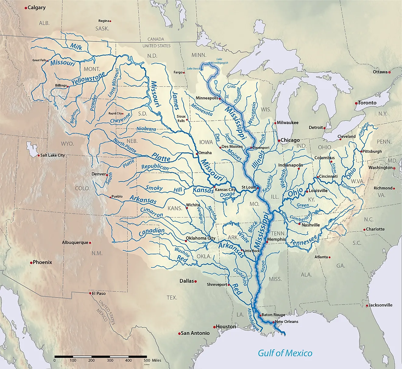
The Ohio Valley, or Central region, gathers seven states, Illinois, Indiana, Ohio, Kentucky, Tennessee, Missouri, and West Virginia, around the roughly 981-mile Ohio River. This is classic continental-climate country, where summers can push past 100°F and winter lows dip toward minus 20°F. It is also a battleground for competing air masses: cold, dry fronts sliding down from Canada collide with warm, wet air surging up from the Gulf of Mexico, a reliable recipe for turbulent winds and tornadoes.
South

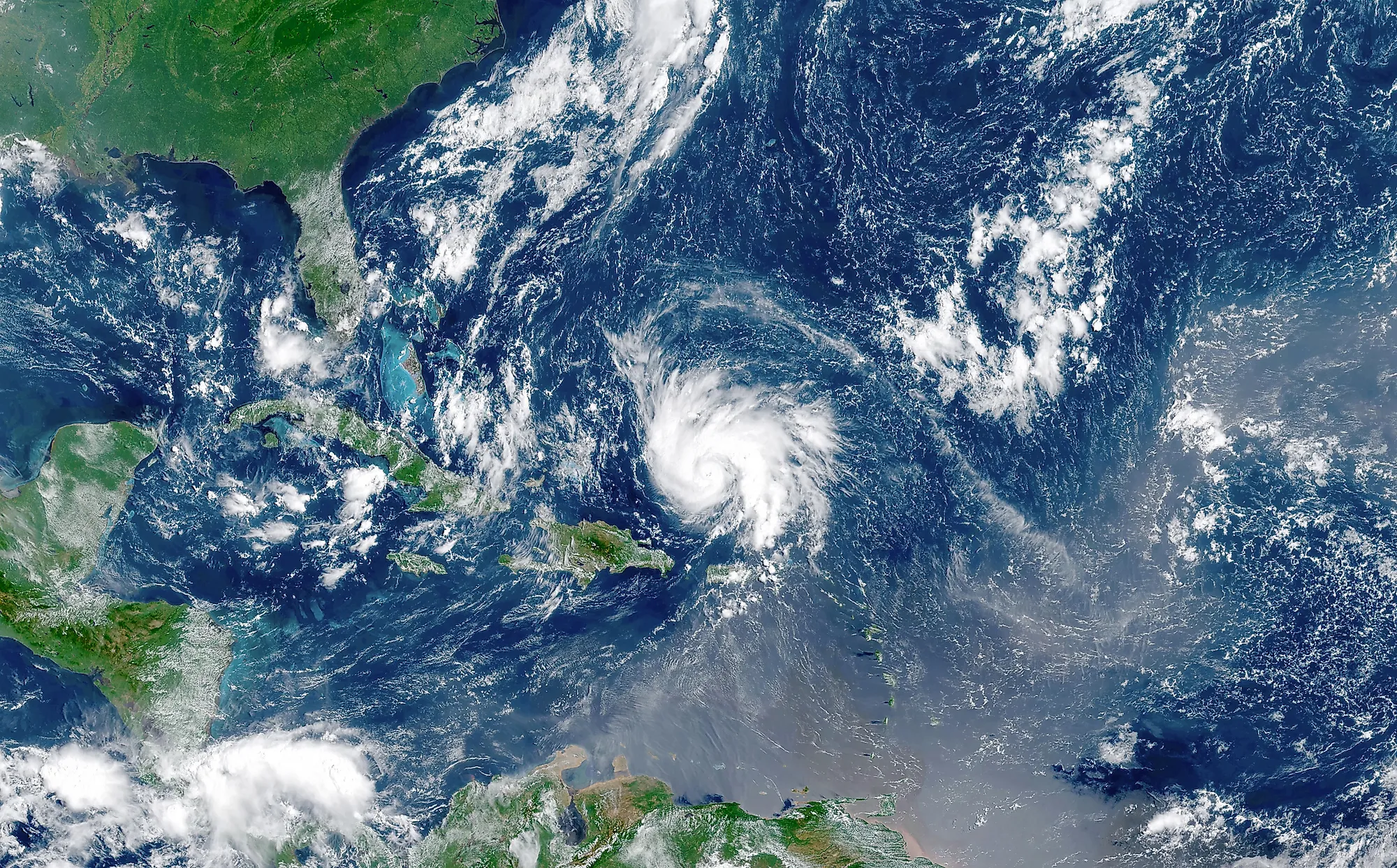
The South, six states covering Texas, Oklahoma, Kansas, Arkansas, Louisiana, and Mississippi, is the largest of the nine regions by area, and its weather is as big as its footprint. Winters are generally mild, but summers routinely climb into the mid-90s and can bring long droughts. This is the heart of Tornado Alley, where springtime clashes of air masses spawn some of the planet's most violent storms, and the Gulf coast sits squarely in the path of hurricane season. Rising seas and coastal erosion are a growing worry along the Louisiana and Texas shorelines.
Southwest

If you want weather extremes, the Southwest has the full set. Made up of the Four Corners states, Arizona, Colorado, New Mexico, and Utah, it swings between droughts and flash floods, blizzards in the high country and heat waves in the low deserts, dust storms and the occasional tornado. Much of the region is high, dry, and sun-baked, and here elevation does as much as latitude to set the local climate. It is arguably the most topographically varied of all nine regions, and among the hottest and most arid.
Southeast

The six states of the Southeast, Virginia, North Carolina, South Carolina, Georgia, Florida, and Alabama, share a warm, humid climate that turns downright steamy in summer, when temperatures settle into the high 80s and 90s. Bordered by both the Atlantic Ocean and the Gulf of Mexico, the region is thunderstorm and hurricane country, with tropical systems a seasonal threat along the coast. The northern states of Virginia and North Carolina see colder winters than Florida and Georgia, and every so often an Arctic front plunges south to deliver a rare hard freeze deep into the region.
What About Alaska And Hawaii?

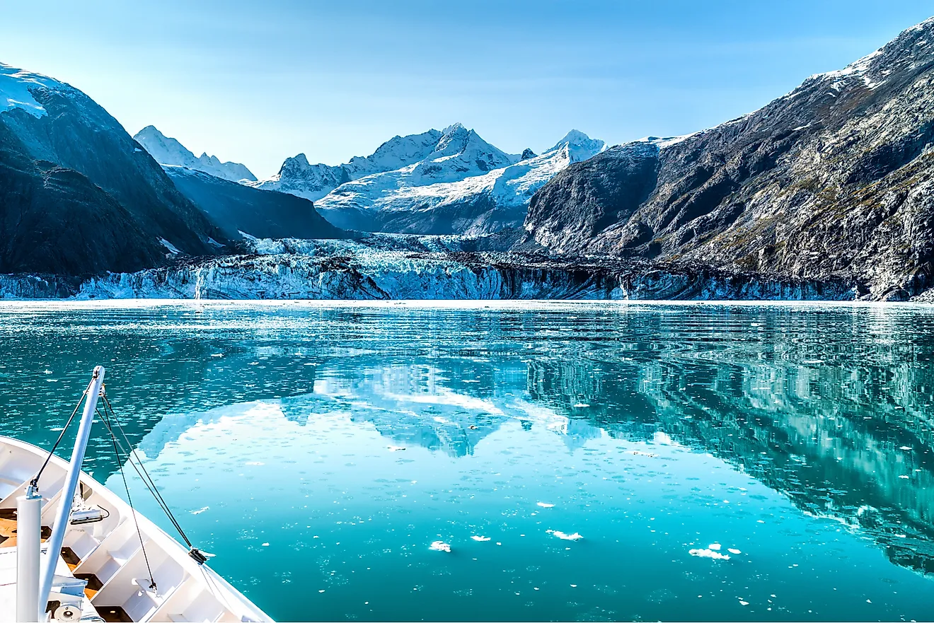
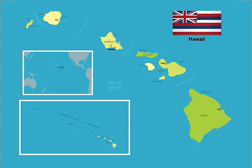
The nine regions cover the contiguous US, which leaves two states in a class of their own. Alaska is cold enough to warrant its own category entirely, running from subarctic interior to Arctic north, with a Gulf of Alaska coast that ranks among the cloudiest, wettest places in the country. Hawaii sits at the opposite extreme, deep in the tropical zone. Despite its small size, the Big Island alone (about 4,028 square miles) is a patchwork of dramatically different climates: tropical rainforest, dry coastal desert, and alpine cold near the summits of Mauna Kea and Mauna Loa, which can even see snow. It is often said to hold most of the world's climate types within a single island.