Maps of Turkmenistan
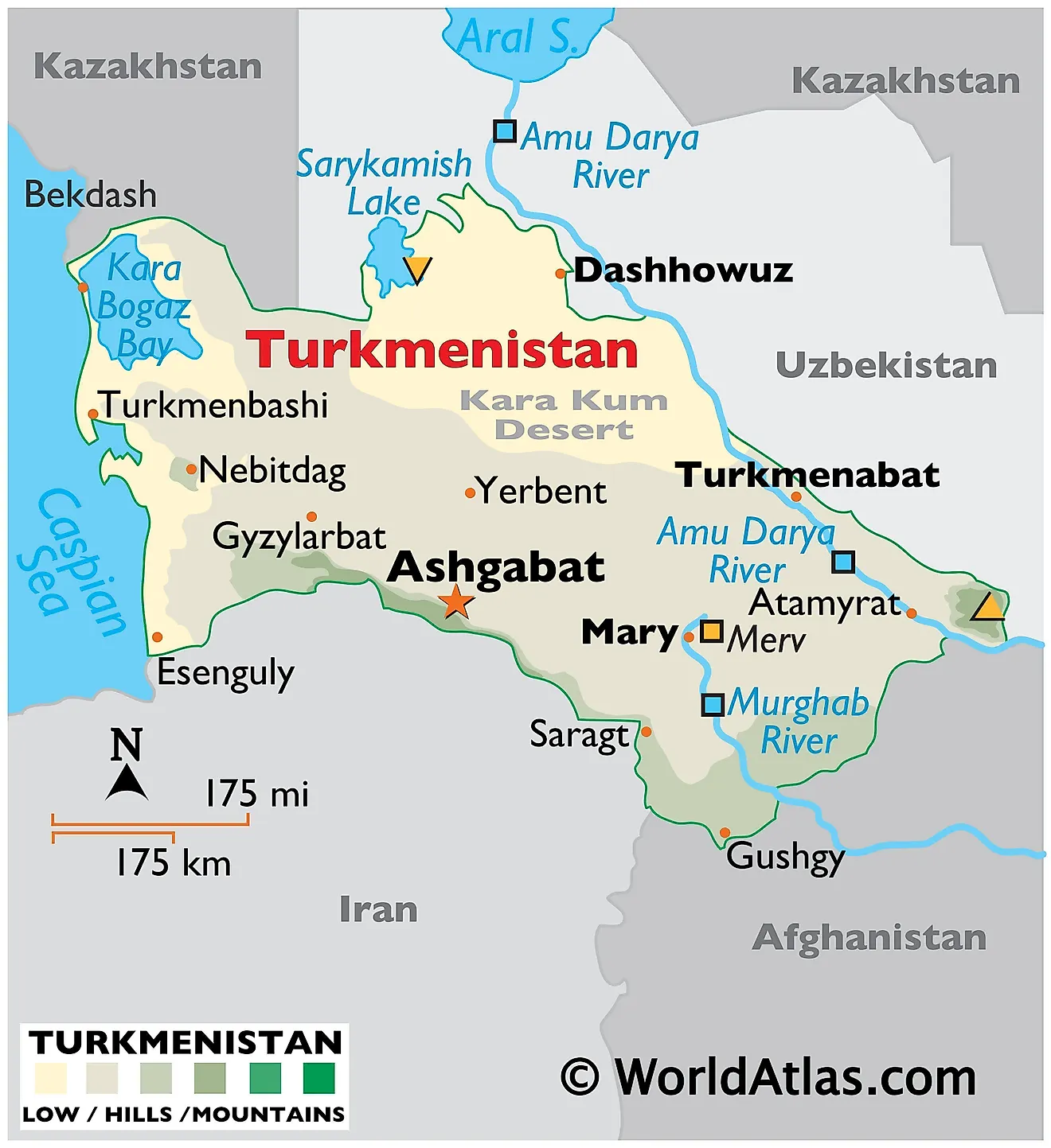
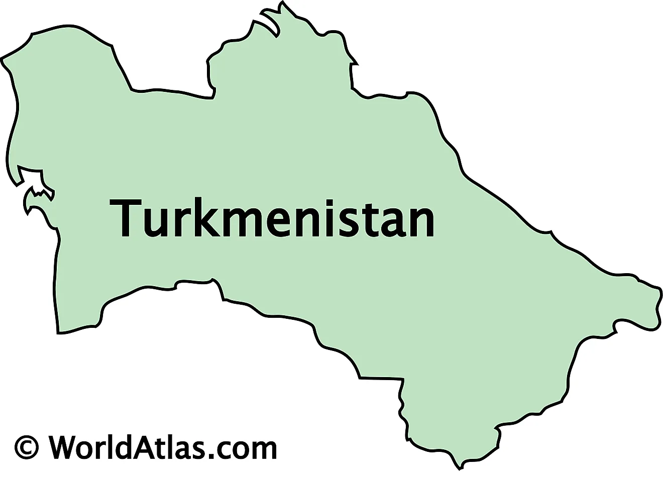
Turkmenistan, located in Central Asia, is a landlocked country. It shares borders with Kazakhstan to the northwest, Uzbekistan to the north and east, Afghanistan to the southeast, Iran to the south, and the Caspian Sea to the west. The country encompasses an area of about 491,210 km2 (189,657 mi2).
The Kara-Kum, or Black Sand Desert, dominates much of Turkmenistan's landscape, covering over 70% of the country. This vast desert region, characterized by its sandy dunes and sparse vegetation, extends from the center to the south of the country. Within this arid expanse lies the Karakum Canal, one of the world's largest irrigation and water supply canals, which plays a crucial role in the region's agriculture.
The Caspian Sea coast, to the west, forms a significant part of Turkmenistan's geography. This area features the Garabogazköl Basin, a large lagoon of the Caspian Sea. Known for its extreme salinity, the basin is a significant source of minerals, particularly sodium sulfate. The unique landscape surrounding the basin is marked by salt flats and marshes, offering a stark contrast to the sandy expanses of the Kara-Kum Desert. Moreover, the lowest point in Turkmenistan is located at the Akjagaýa Depression in the northwest, near the Caspian Sea, sitting at about 81 meters (266 feet) below sea level. This area, part of the larger Caspian Depression, features a landscape of low-lying plains and is significant for its below-sea-level altitude.
The Trans-Caspian Depression lies in the north. This region houses the Sarygamysh Lake, a large saline lake straddling the border with Uzbekistan. Once fed by the Amu Darya river, changes in water management have transformed it into a predominantly saltwater lake. The lake and its surrounding areas are characterized by their flat terrain and semi-arid conditions.
The Kopet Dag range forms the southern border of Turkmenistan with Iran. This mountainous region presents a stark contrast to the flat desert terrains of central Turkmenistan. The highest point in the country, Mount Ayrybaba, located in the Koytendag Range (an extension of the Pamir-Alai mountains), reaches an elevation of 3,137 meters (10,292 feet). This area is marked by rugged terrain and a cooler, more temperate climate.
Regions of Turkmenistan Map
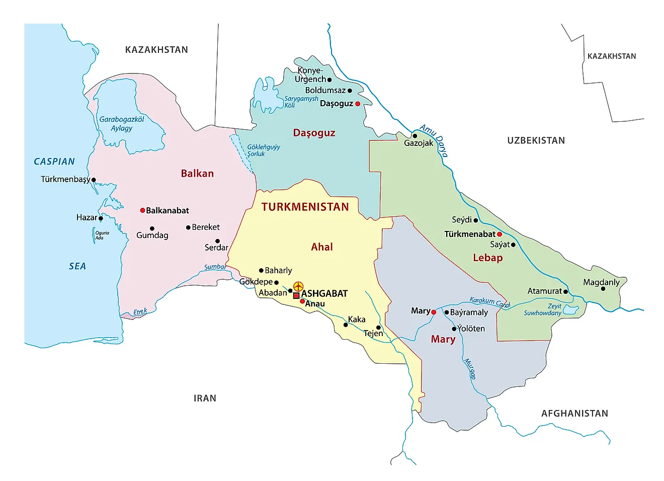
Turkmenistan is divided into 5 administrative regions and one capital city district (Saher). In alphabetical order, these regions are: Ahal, Balkan, Dashoguz, Lebap, and Mary. These regions are further subdivided into districts. The country has a total of 50 districts, 24 towns, 76 villages, 553 rural councils, and 1903 rural settlements.
With an area of 139,300 sq. km, the Balkan Region is the largest region of Afghanistan by area and the Mary Region is the most populous one.
Ashgabat is the capital and the largest city in the country.
Where is Turkmenistan?
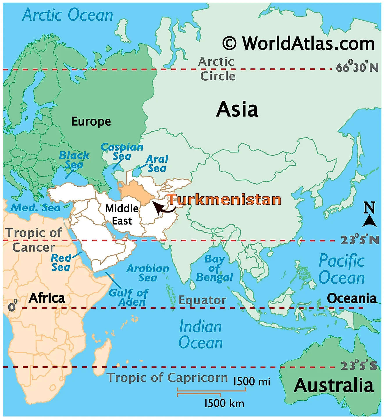
Turkmenistan is a sovereign landlocked country. It is located in Central Asia in the Northern and Eastern hemispheres of the Earth. It is bordered by four Asian countries: Kazakhstan bounds it to the northwest; Uzbekistan to the north and east; Afghanistan is located to the southeast; and Iran to the south and southwest. The Caspian Sea lies to the west of the country.
Turkmenistan Bordering Countries: Kazakhstan, Iran, Afghanistan, Uzbekistan.
Regional Maps: Map of Asia
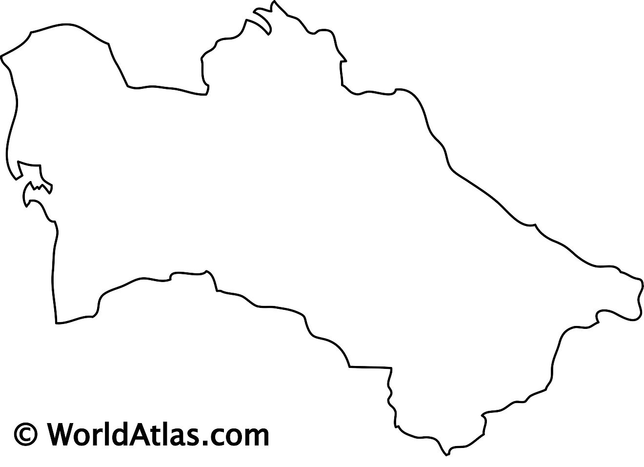
Outline Map of Turkmenistan
Key Facts
| Legal Name | Turkmenistan |
|---|---|
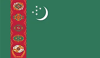
| Flag |
|
| Capital City | Ashgabat (Ashkhabad) |
| 37 57 N, 58 23 E | |
| Total Area | 488,100.00 km2 |
| Land Area | 469,930.00 km2 |
| Water Area | 18,170.00 km2 |
| Population | 5,942,089 |
| Largest City |
Ashgabat (902,353) |
| Currency | Turkmenistani manat (TMM) |
| GDP | $40.76 Billion |
| GDP Per Capita | $6,966.64 |
This page was last updated on November 13, 2023
