What Are The Contiguous United States?
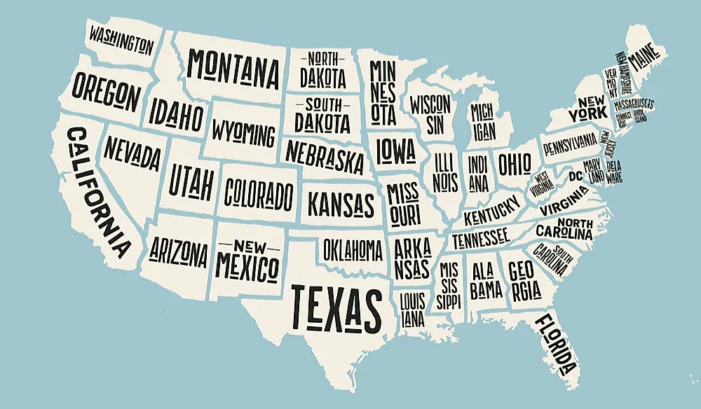
Draw the United States from memory and you will almost certainly draw the contiguous United States: that unbroken block of forty-eight states stretching coast to coast, with Alaska and Hawaii relegated to little insets in the bottom corner. The contiguous US is the set of 48 states, plus the District of Columbia, that each share a land border with at least one neighbor and together form one continuous stretch of territory. It answers to several names, which is where the confusion usually starts. It is also called the conterminous United States, shortened to CONUS in military shorthand, and, most affectionately, the Lower 48. Two states are pointedly left out: Alaska and Hawaii, the pair that turned a tidy rectangle into a geography teacher's asterisk.
Contiguous, Continental, Conterminous

Three near-identical words get thrown around as though they mean the same thing, and they do not. Contiguous refers to the 48 states and DC that physically touch. Conterminous is simply a dressier synonym for the same idea, everything enclosed within one shared boundary. Continental is the tricky one, because it covers everything on the North American mainland, and that includes Alaska. Add Alaska to the 48 and you get 49 continental states, with Hawaii, out in the Pacific, as the lone holdout. Alaska, then, is continental but not contiguous, which happens to be the answer to a surprising number of bar-trivia disputes.
Even mainland comes with fine print. Used strictly, it refers only to the parts of the country welded to the North American landmass, which quietly excludes Hawaii along with a scattering of islands that belong to mainland states but sit just offshore, like the Aleutians, the Florida Keys, and Long Island. For everyday purposes, all of these terms point at roughly the same familiar shape. The pedants are only arguing about the edges.
The Lower 48 by the Numbers
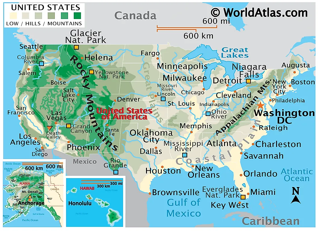
The contiguous states cover about 3.12 million square miles, of which roughly 2.96 million is land and 161,000 is water. Lifted out and stood up as its own country, the Lower 48 would rank fifth in the world by area, settling in just behind Brazil and a shade larger than Australia. At its longest it stretches 2,802 miles between Washington State and Florida, and roughly 1,650 miles north to south. It is also home to around 340 million people, close to 99% of the national total, which is a polite way of saying that nearly everyone lives here and Alaska has the elbow room. Fold Alaska, Hawaii, and the territories back in, and the whole United States covers about 3.8 million square miles, enough to place it third or fourth in the world by area, depending on how you count disputed borders and coastal waters. The contiguous block is the lion's share of that total, just not quite all of it.
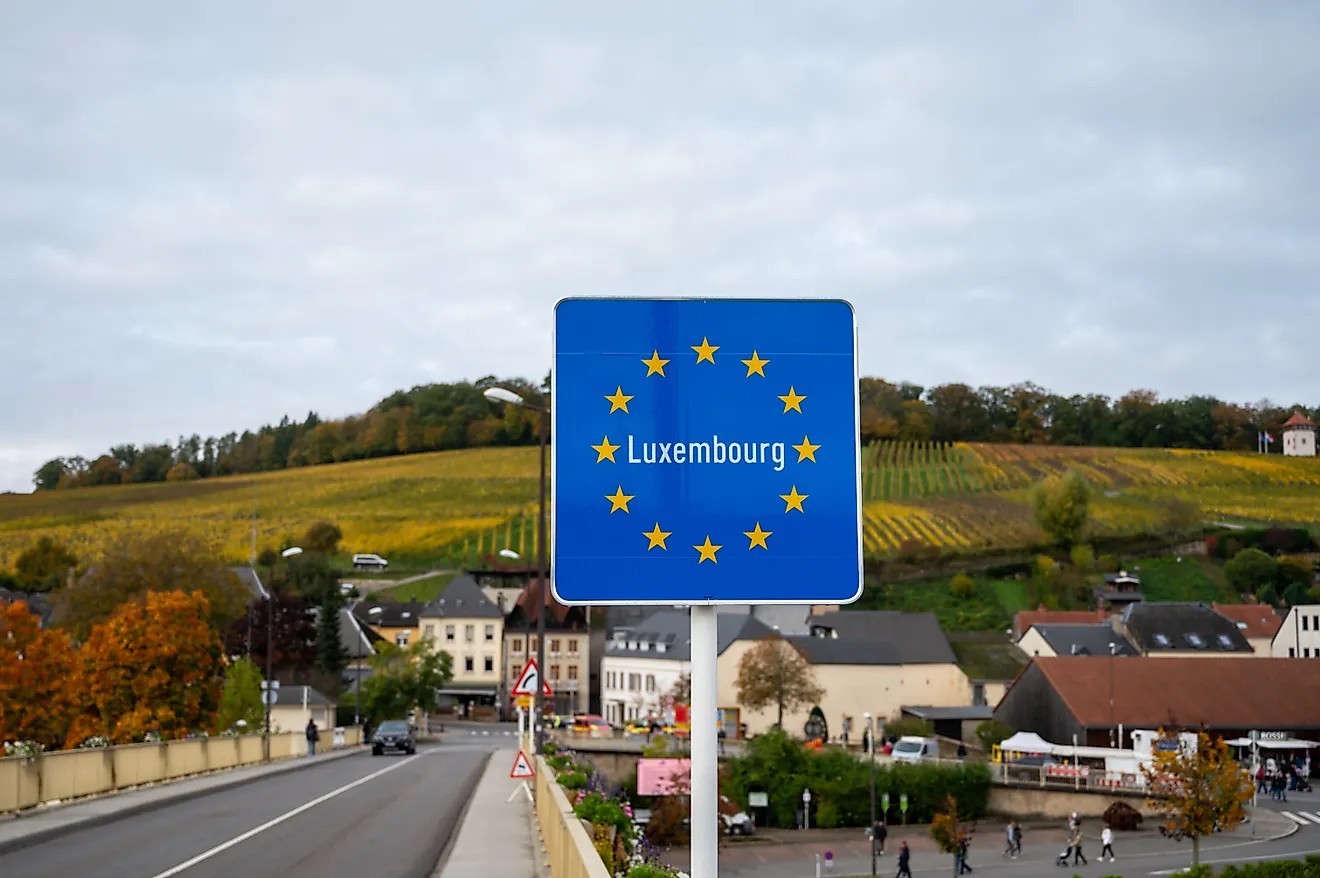
The block looks seamless on a map, but it keeps a few asterisks of its own. A handful of spots, among them Point Roberts, Washington, and Minnesota's Northwest Angle, are stranded north of the 49th parallel and can be reached by road only by driving through Canada. On paper they are as contiguous as anywhere else. In practice they are a genuine errand to visit.
Alaska: Continental, But Not Contiguous
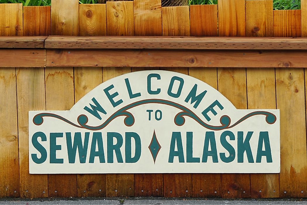
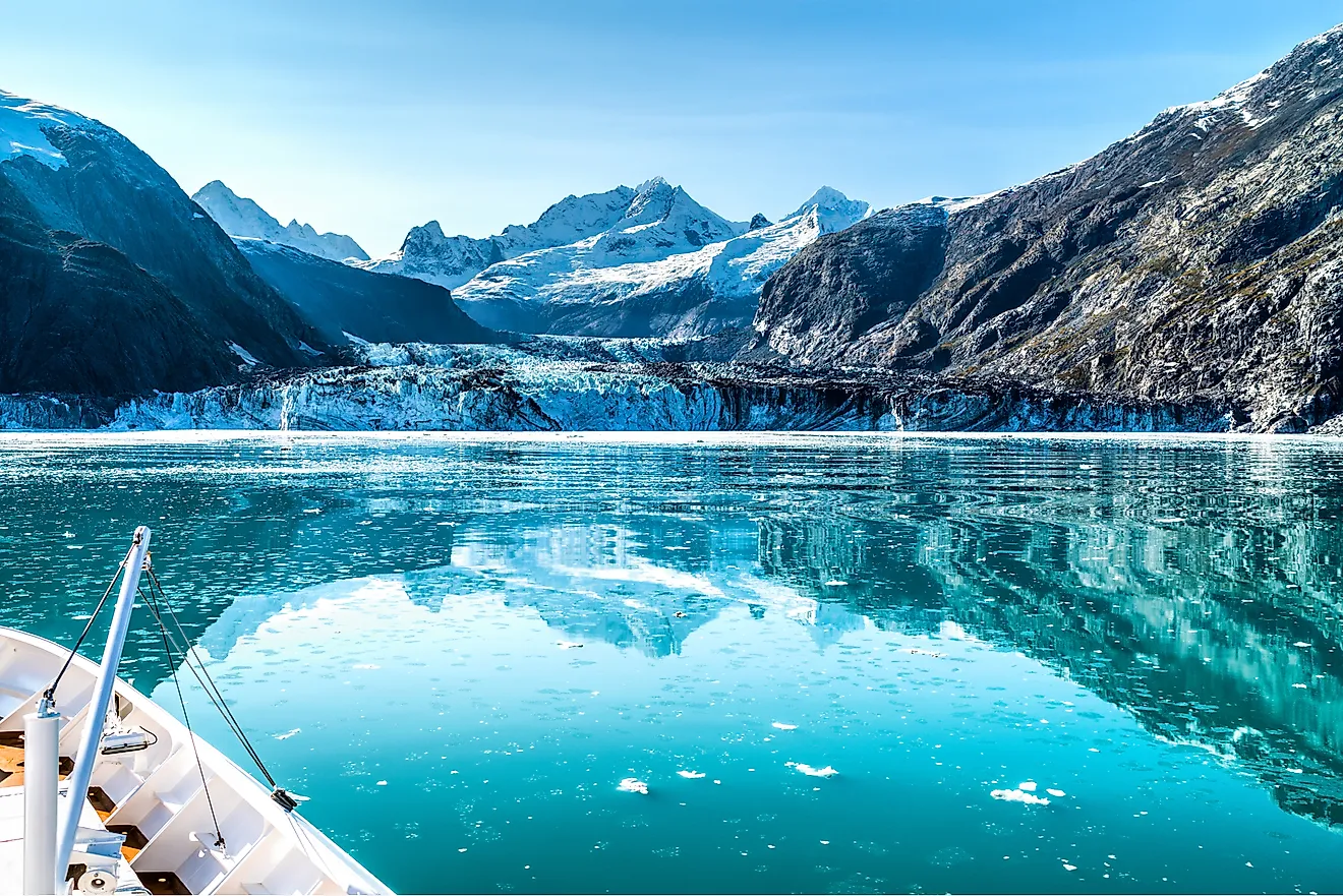
Alaska sits in the far northwest corner of the continent, which makes it continental, while a wide belt of Canada makes sure it is not contiguous. The United States bought it from the Russian Empire on March 30, 1867, for $7.2 million, a purchase mocked at the time as "Seward's Folly" and quietly reconsidered once the gold and oil turned up. It became the 49th state on January 3, 1959.
To reach it by land, you cross British Columbia and the Yukon, which is why Alaskans keep their own vocabulary for the rest of the country. To them, the contiguous states are the Lower 48, or simply Outside, capital O, a word spoken with the mild pity of people who own more mountains than you do.
Hawaii: The Pacific Holdout

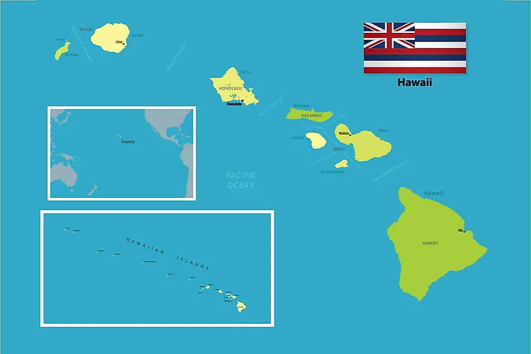
Hawaii is the outlier's outlier. It lies about 2,400 miles off the West Coast in the middle of the Pacific, nearer to a whole different hemisphere of islands than to Los Angeles, and geographers group it with Oceania rather than North America. It joined as the 50th state on August 21, 1959, a few months after Alaska, and no state has been admitted since, which has left the flag at fifty stars for the longest stretch in its history. It is also the only state built entirely of islands, and one of the few places on Earth still visibly growing, as the Big Island's volcanoes add fresh rock to the coastline.
Being a full ocean away has its own linguistic side effect. Hawaiians, like other islanders, call the contiguous states the mainland, a word that manages to be geographically precise and faintly dismissive in the same breath.
Beyond the States: The Territories

Statehood is not the only way to fly the flag. Beyond the 50 states, the country holds 14 territories, most of them small and uninhabited. Five are permanently settled and self-governing: Puerto Rico, by far the largest with more than three million residents, along with Guam, the US Virgin Islands, American Samoa, and the Northern Mariana Islands.
People born in these territories are US citizens, with one wrinkle. American Samoans are US nationals rather than citizens by birth, a distinction that carries real legal weight and a long history behind it. None of the territories falls inside the contiguous US, the continental US, or, by most definitions, the mainland, which leaves them in a category all their own.
Why Any of This Matters
All this vocabulary sounds like hair-splitting until you need it. Shipping companies quote one rate for the Lower 48 and another for Alaska and Hawaii. Weather maps crop the country to the contiguous states because the alternative is a great deal of empty ocean. The military moves people and gear CONUS and OCONUS, inside the contiguous states and out. Even the humble "free shipping" banner usually means free to the Lower 48 and nowhere else. Election-night graphics, cell-coverage maps, and national weather warnings all quietly default to the same 48-state outline, which is a large part of why the shape feels so familiar in the first place.
So the contiguous United States is really just the 48 states and DC that hold hands across the continent. Alaska and Hawaii are every bit as American; they simply had the audacity to arrive without a shared border. Everything after that is a question of which map you are drawing, and how much of the ocean you are willing to fit on the page.