How Big Texas Is Compared To Europe's Largest Countries
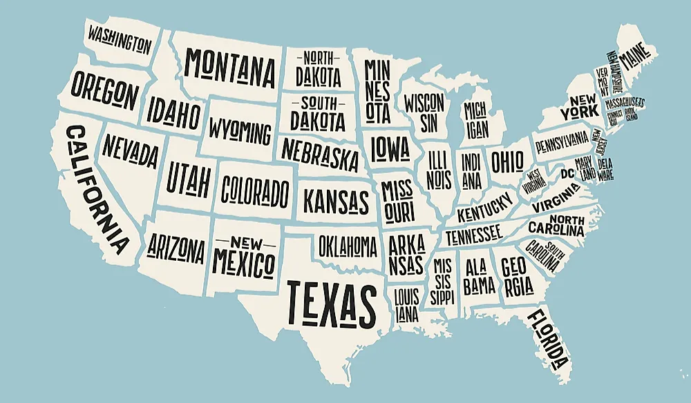
Texas is bigger than every one of Europe’s largest countries except Russia. At 268,597 square miles, it is the second-largest state in the US. Set against Europe’s 10 largest countries, Texas holds its own against all but one, outscaling countries such as France, Spain, and Sweden. Its enormous size comes partly from its history under Spain and Mexico, and that scale still influences the way the state manages such a large territory.
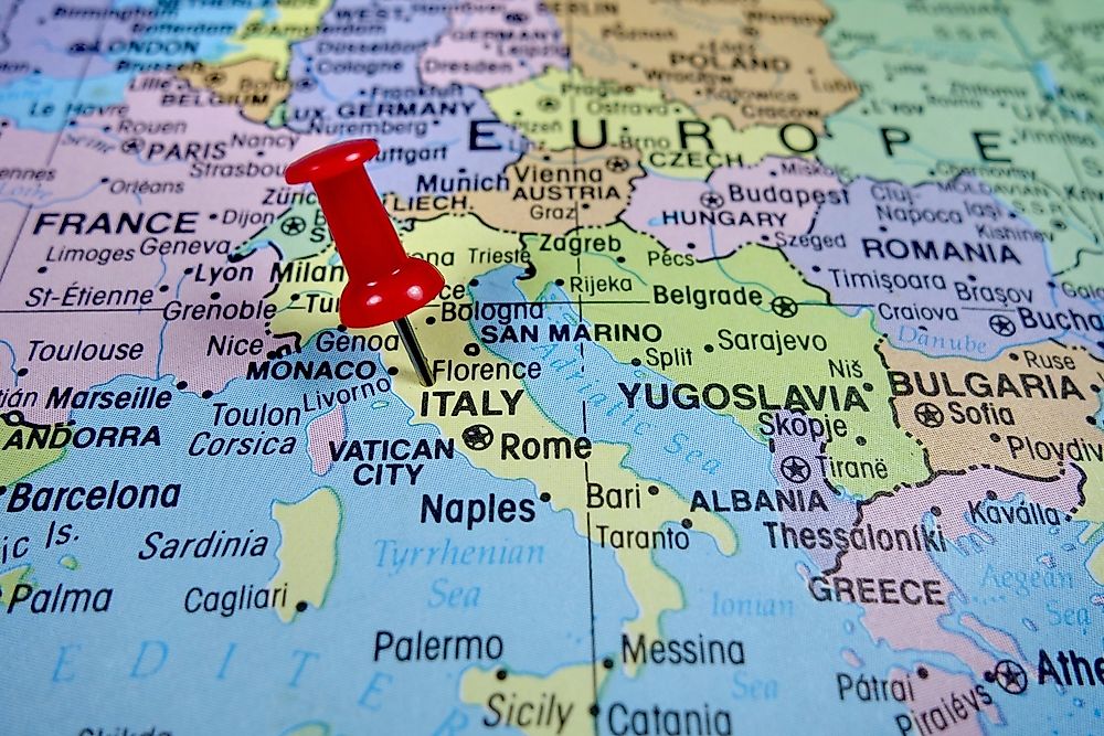
The 10 largest countries in Europe

The largest country in Europe is Russia. Its land area in Europe is 1.53 million square miles. That is still only a small part of Russia. The Asian side alone stretches across about 5.1 million square miles, helping make it the largest country on Earth by land area.
The second largest country in Europe is Ukraine, sitting to the west of Russia. It has a total land area of 233,000 square miles. That is more than 35,000 square miles smaller than Texas.
France can appear larger than Ukraine when its overseas territories are included, but these figures count only land in Europe. Ukraine’s borders are also disputed due to the ongoing war with Russia, which began with Russia’s full-scale invasion in February 2022 and continues through September 2026.
The next eight largest countries follow, based on figures from Britannica and World Population Review.
- France, 210,017 square miles
- Spain, 195,361 square miles
- Sweden, 172,751 square miles
- Norway, 148,449 square miles
- Germany, 138,208 square miles
- Finland, 130,692 square miles
- Poland, 120,423 square miles
- Italy, 116,629 square miles
Why Texas is so big

Texas' size is a direct result of Spanish organization and Texas' history of conflict with Mexico. Spanish explorers first saw Texas in 1519, but took little interest in directly settling the region due to reports of its rugged environment, other than establishing a small settlement in Presidio in 1535.
In the later 1600s, Spain began establishing missions in Texas, in response to French efforts to colonize Texas in 1685. Some of these earliest missions included Nacogdoches, San Augustine, and San Antonio from 1716 to 1718. The province of Texas itself only consisted of eastern Texas and was governed by Spain until 1821, when Mexico shook off Spanish rule in the Mexican War of Independence and gained control of Texas.
The Mexican government invited settlers from the US to come to Texas, allowing them to keep slaves and not pay a tariff. This arrangement would not last. Mexico's government was overthrown by Antonio Lopez de Santa Anna, who aimed to centralize Mexico's holdings and reimpose the tariff. The Texan settlers revolted against him and won the Texas Revolution, which was waged from 1835 to 1836. They gained control of a land that ran Sabine River to the east and the Red River to the northeast.
The territory applied for statehood, but was put off for 9 years due to internal divisions in Congress over the balance between free and slave states. From 1836 to 1845, it was the Lone Star Republic.
However, its western borders were disputed with Mexico, this included the modern-day Panhandle and large amounts of land in modern-day New Mexico, Oklahoma, Colorado, Kansas, and Wyoming. The dispute would be one of the causes of the Mexican-American War.
Texas used to be bigger

In 1845, Texas was officially admitted as the 28th state in the Union, but with a much larger border than it has today. It encompassed the panhandle of Oklahoma, half of New Mexico, a section of southwestern Kansas, southern Colorado, and a rectangular border running across Colorado into southern Wyoming. The northernmost town at this point was Rawlins, Wyoming. In fact, there is still a creek in Wyoming named Texas Creek due to this history.
This action by the US government was one of the causes of the Mexican-American War from 1846 to 1848, ending in a US victory and the complete annexation of the southwestern US. The extended territory was about 50 percent larger than modern-day Texas, but Texas would not keep this land for long, due in large part to land disputes. New Mexican residents resisted efforts on the part of state authorities to organize their territory into counties for Texas, including refusing the efforts of Robert S. Neighbors, an early state legislator.
Some Texans called for military action to force New Mexico to comply, while New Mexicans called for independence from Texas. President Millard Fillmore sent in federal troops into New Mexico, ordering them to resist the efforts of any militias from Texas.
On the Congressional level, representatives presented several solutions to this issue, with Senator John Bell of Tennessee stating Texas should be divided into three states. Senator James A. Pearce proposed that Texas cede all of the disputed lands in exchange for $10 million, or about 15 cents an acre.
This proposal was accepted and signed by Millard Fillmore in 1850. It was advantageous for Texas as it needed the funds to pay off its debts.
Texan counties

Due to the size of Texas, it has the largest number of counties of any state in the US, with 254 in total. The only state that comes close is Georgia, with 159 counties.
When Texas gained its independence, it inherited 23 municipalities under the Spanish model, which it converted into counties. As settlers moved further out west, they added new counties under a key principle: how far it took to ride to the courthouse.
In order to organize this land, the central principle was that no part of the county should be more than a day's ride by horse away from the courthouse. This was put into law by the Texas Constitution of 1876, requiring all new counties to be laid out in a square form and to be at least 900 square miles. In addition, county seats should be as close to the geographic center of the county as possible.
The only state larger than Texas

Alaska is the largest state in the US, and is more than double the size of Texas at 665,384 square miles. If Alaska were laid out over the central US, its main body would run from Minnesota and North Dakota in the north to Oklahoma in the south. Its southwestern "tail" would run from Oklahoma to California, and the southeastern tail would run all the way down to Georgia.
However, Alaska is much less populous than Texas. The US Census put its population at 737,270 in its 2025 estimate, while Texas has 31.7 million residents. Alaska is also unlike Texas in its organization: it uses boroughs instead of counties.
Alaska has 19 organized boroughs, and one unorganized borough which is run directly by the state. The unorganized borough makes up the majority of the state's land, at more than 320,000 square miles. This unorganized borough alone is about 50,000 square miles larger than all of Texas.
Texas could be a country in size and population
Texas could easily compete with any European country in terms of size and population. Its size is a matter of pride for Texans, with one of its most popular sayings being, "Everything's bigger in Texas." However, even a state as big as Texas has its limits, as its size was reduced by the Compromise of 1850, and it is still less than half the size of Alaska. The story of how it became so big is as much about the determination of settlers as conflicts over borders, nations, and politics.