How Big Alaska Is Compared To The Lower 48
Almost nobody has an accurate mental picture of how big Alaska is, and the reason is that the two maps most Americans grow up with are wrong in opposite directions. On a Mercator world map, Alaska balloons out near the pole until it looks roughly the size of the continental United States. On a standard US map it gets shrunk into a little box parked off the coast of California, usually smaller than Texas. The real figure sits between them and is stranger than either. Alaska covers about 586,412 square miles of land, which works out to roughly one fifth of the entire Lower 48.
Here is what that actually means, working up from the comparison everyone reaches for first.
Alaska Versus Texas

The standard comparison, and the standard answer of "twice the size" undersells it slightly.
By land area, Alaska's roughly 586,412 square miles against Texas at about 261,232 makes Alaska 2.24 times larger. By total area including water, 665,384 against 268,581, the ratio climbs to about 2.48.
The cleanest way to hold it: cut Alaska exactly in half and each half is still bigger than Texas.
Alaska Versus Texas, California And Montana Combined

Take the three largest states in the Lower 48 and add them together. Texas at 268,581 square miles, California at 163,696, Montana at 147,040. That is 579,317 square miles for the three of them.
Alaska's land area alone is 586,412. It beats all three combined, and it does so before you count a single square mile of its water.
Alaska Versus The Whole Lower 48
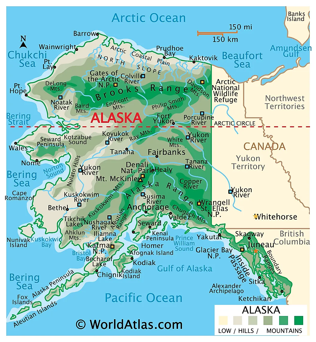
This is the headline number. The contiguous 48 states cover roughly 3,119,885 square miles. Alaska's 586,412 is about 18.8 percent of that, which is where the state's own official framing of "one fifth the size of the Lower 48" comes from.
Flip it around and the Lower 48 is only about 5.3 times bigger than a single state. Forty-eight against one, and the one still takes a fifth of the board.
How Far It Stretches
Area understates it, because Alaska is not a compact block.
The state runs about 2,261 miles east to west and about 1,420 miles north to south. For scale, the Lower 48 measures roughly 2,800 miles coast to coast, so a single state covers close to 80 percent of that span on its own.
The Aleutian chain runs so far west that it crosses the 180th meridian into the Eastern Hemisphere. Semisopochnoi Island sits at 179 degrees 46 minutes east, which makes Alaska simultaneously the westernmost, easternmost and northernmost state in the country. Some of those islands are closer to Tokyo than to Anchorage.
The Coastline Is Not Even Close

Alaska has about 6,640 miles of general coastline, more than all the other states combined. Measure the tidal shoreline with every island, inlet and fjord included and the figure reaches roughly 33,904 miles, which is more than the circumference of the Earth at the equator.
That is the number that explains why so much of the state has no roads. There is more edge than a highway system can reasonably serve.
One Alaskan Borough Beats Twenty-Eight States

The Yukon-Koyukuk Census Area in central Alaska covers about 147,808 square miles. That single subdivision is larger than 28 of the 50 states, and it is within a rounding error of Montana.
Its population is a few thousand people spread across an area the size of a large state, which is the pattern the whole place follows.
One National Park Beats Nine States
Wrangell-St. Elias National Park and Preserve covers 13.2 million acres, about 20,625 square miles. It is larger than nine individual US states, and bigger than Yellowstone, Yosemite and Switzerland put together.
The Tongass National Forest runs to 16.7 million acres on its own, which is larger than West Virginia.
Why The Map Lies To You
Both distortions are worth understanding, because between them they explain most of the confusion.
The Mercator projection stretches land east to west as you move away from the equator, and the effect compounds badly at high latitudes. Alaska sits between about 51 and 71 degrees north, so on a Mercator map it inflates enormously, which is the same reason Greenland looks the size of Africa when it is roughly a fourteenth of it.
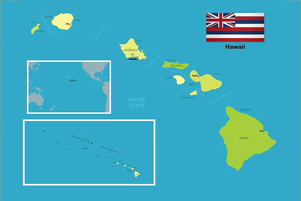
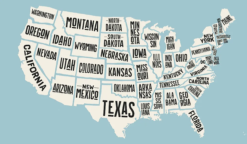
Then US maps overcorrect. Alaska almost always appears as an inset, scaled down and tucked into the Gulf of Mexico beside a similarly shrunken Hawaii, because showing it to scale would make the rest of the country unreadably small. A generation of American schoolrooms has been quietly teaching that Alaska is a bit smaller than Texas.
What All That Space Actually Holds

Roughly 100,000 glaciers. About three million lakes. More than 130 volcanoes considered active, which is more than the rest of the United States combined.
And around 736,000 people, fewer than live in Seattle, at a density near 1.3 per square mile against a national average close to 90. About one Alaskan in 78 holds a pilot's license, which is less a fun fact than a direct consequence of the geography: in most of the state, flying is not a hobby but the only way to get anywhere.
The Comparison That Sticks

Lay Alaska over the Lower 48 at true scale and it reaches from the Atlantic to the Pacific, roughly Savannah to San Diego, with the Aleutians trailing off past the California coast.
That is the honest picture. One fifth of the contiguous United States by area, more coastline than every other state put together, spanning nearly the full width of the country, holding fewer people than one mid-sized city. Alaska is not a big state. It is a different order of thing that happens to be administered as one.