How Big Lake Superior Is Compared To Entire States
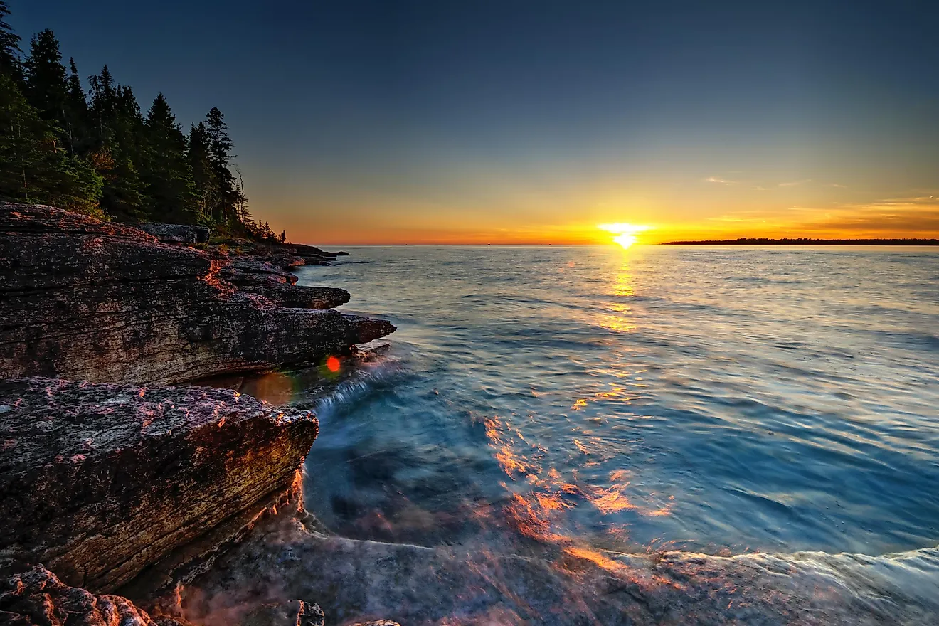
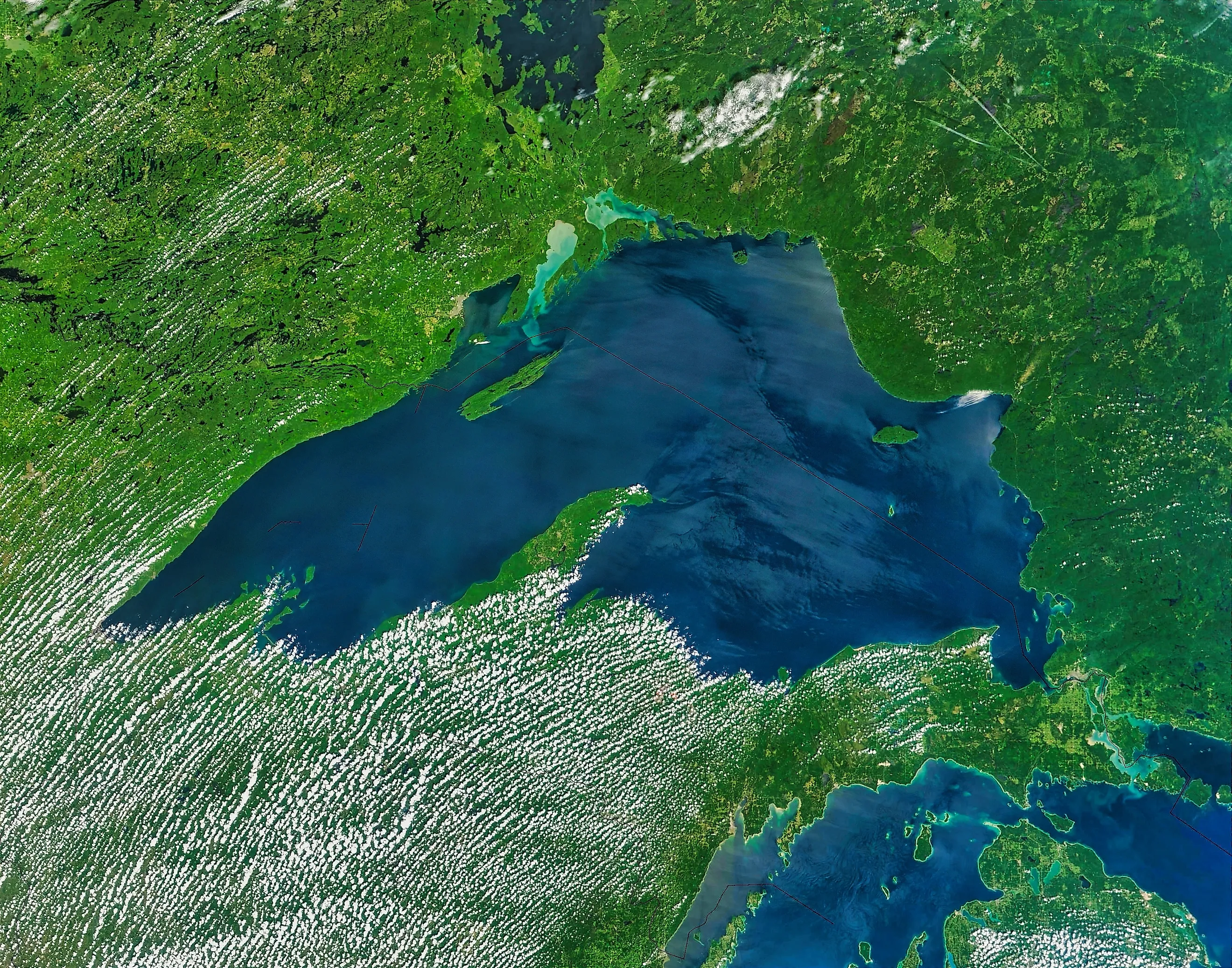
Lake Superior covers 31,700 mi2 of water, according to the US Environmental Protection Agency. That makes it larger than 10 US states by total area and only 320 mi2 smaller than South Carolina. The lake also stretches about 350 miles east to west and 160 miles north to south, with shores in three US states, Ontario, and the lands of many Tribal Nations.
That comparison needs one careful distinction. The US Census Bureau measures state size in total area and land area. Total area includes land and water. Land area does not. Lake Superior is almost the size of South Carolina by total area, but it is larger than South Carolina if the comparison uses land area alone.
The 10 States Smaller Than Lake Superior

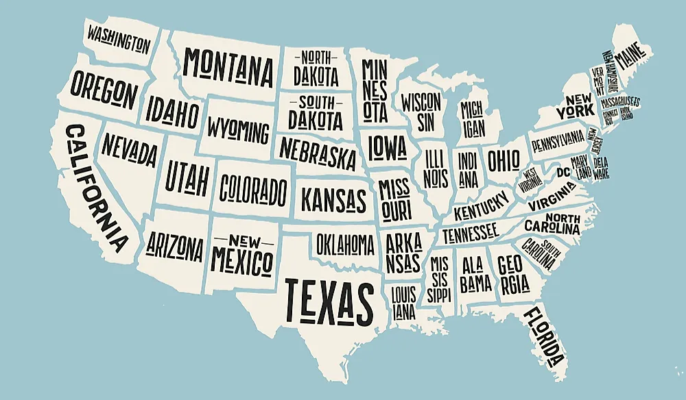
By total area, Lake Superior is larger than Rhode Island, Delaware, Connecticut, New Jersey, New Hampshire, Vermont, Massachusetts, Hawaii, Maryland, and West Virginia. West Virginia is the largest state in that group at 24,230 mi2, which still leaves more than 7,000 mi2 between it and Lake Superior's surface area.
The smallest comparisons show how quickly the scale jumps. Rhode Island is 1,545 mi2, so Lake Superior is about 20 times larger. Delaware is 2,489 mi2, making the lake nearly 13 times larger. Connecticut is 5,543 mi2, or a little under one-sixth of Lake Superior's surface.
South Carolina Is The Closest Match
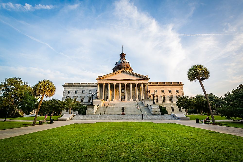
South Carolina is the comparison that deserves the most care because the numbers are so close. The Census Bureau lists the state at 32,020 mi2 in total area. Lake Superior is 31,700 mi2. The difference is 320 mi2, which is about one percent of South Carolina's total size.
That means Lake Superior is not technically larger than South Carolina when both are measured by total area. It is almost the same size. The claim becomes accurate only when the lake is compared with South Carolina's land area, which the Census Bureau gives as 30,061 mi2.
Land Area Changes The Ranking
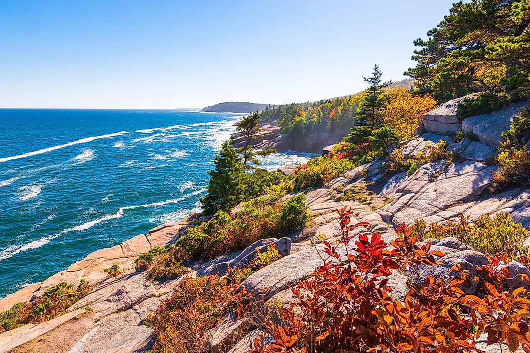
State area can look different depending on whether water is included. Maine is a good example. Its total area is 35,380 mi2, so it is larger than Lake Superior by that measure. Its land area is 30,843 mi2, which is smaller than Lake Superior's water surface.
Lake Superior is larger than 10 states by total area. It is also larger than the land area of South Carolina and Maine. Those are different claims, and both are stronger when they are kept separate.
Eastern State Comparisons Make It Easier To Picture
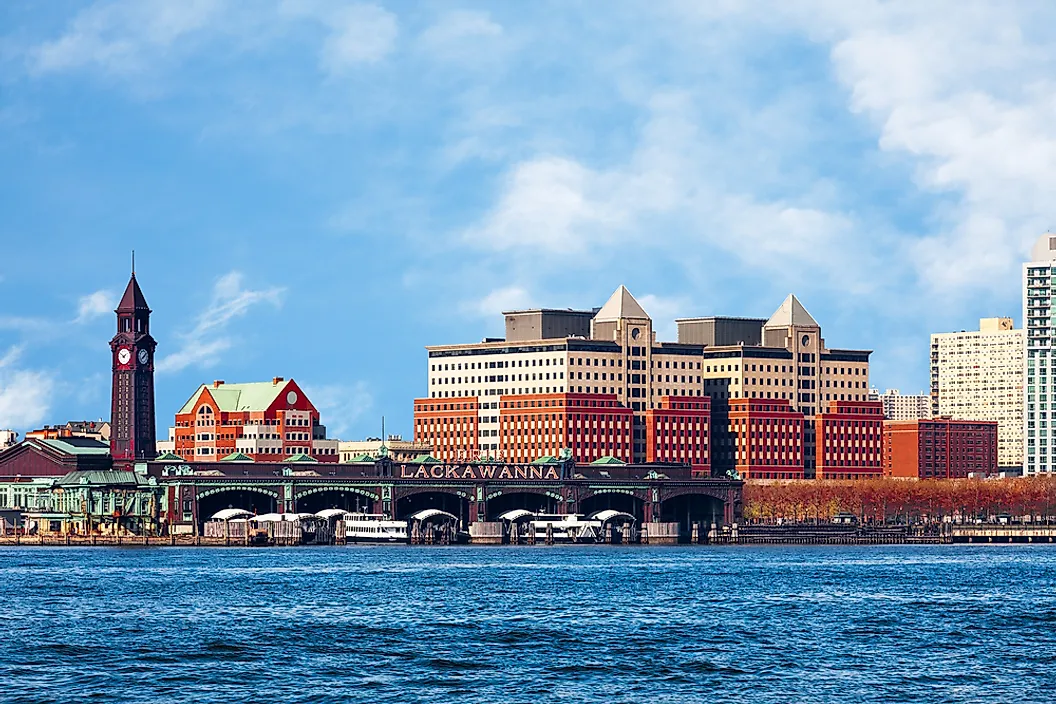
Lake Superior is about 2.6 times the total area of Maryland, which the Census Bureau lists at 12,406 mi2. It is roughly three times the total area of Massachusetts, which is 10,554 mi2. New Jersey, at 8,723 mi2, could fit into Lake Superior's surface more than three and a half times.
Those comparisons help because these are familiar, densely settled states. New Jersey alone has major cities, barrier beaches, farmland, forests, ports, and highways inside 8,723 mi2. Lake Superior covers more than three New Jerseys without counting the land that drains into it.
The Surface Area Is Only Part Of The Size

Lake Superior's map area is huge, but its depth explains why the lake matters so much in the Great Lakes system. The EPA's physical features table lists its average depth at 483 feet and its maximum depth at 1,332 feet. Its volume is about 2,900 cubic miles.
That is more water than the other four Great Lakes combined. In the EPA table, Lake Michigan holds 1,180 cubic miles, Lake Huron holds 850, Lake Erie holds 116, and Lake Ontario holds 393. Together, those four add up to 2,539 cubic miles, still less than Lake Superior alone.
The Shoreline Adds Another Scale

Lake Superior has 2,726 miles of shoreline when islands are included, according to the EPA. The Center for Great Lakes Literacy gives the same shoreline figure and compares that distance with a drive between Duluth, Minnesota, and Miami, Florida.
That shoreline number is useful because surface area alone can flatten the lake into a blue shape on a map. The coast runs past working harbors, long beaches, cliffed sections of Michigan's Upper Peninsula, island chains, and remote Canadian shore. It takes thousands of miles of edge to contain a lake this large.
The Basin Around It Is Also Larger Than Many States

Lake Superior's drainage basin covers about 49,300 mi2, according to the EPA. That is the surrounding land where water drains toward the lake. The basin is larger than the total area of states such as Pennsylvania, Ohio, Virginia, Tennessee, Kentucky, Indiana, Maine, and South Carolina.
More than 200 rivers flow into Lake Superior, according to the Center for Great Lakes Literacy. Its outlet is the St. Marys River, which carries water toward Lake Huron. The state-size comparison starts with the lake's surface, but the larger system includes deep water, a long shoreline, and a drainage basin that would rank comfortably among mid-sized U.S. states.