How Much of America Drains Into the Mississippi River?
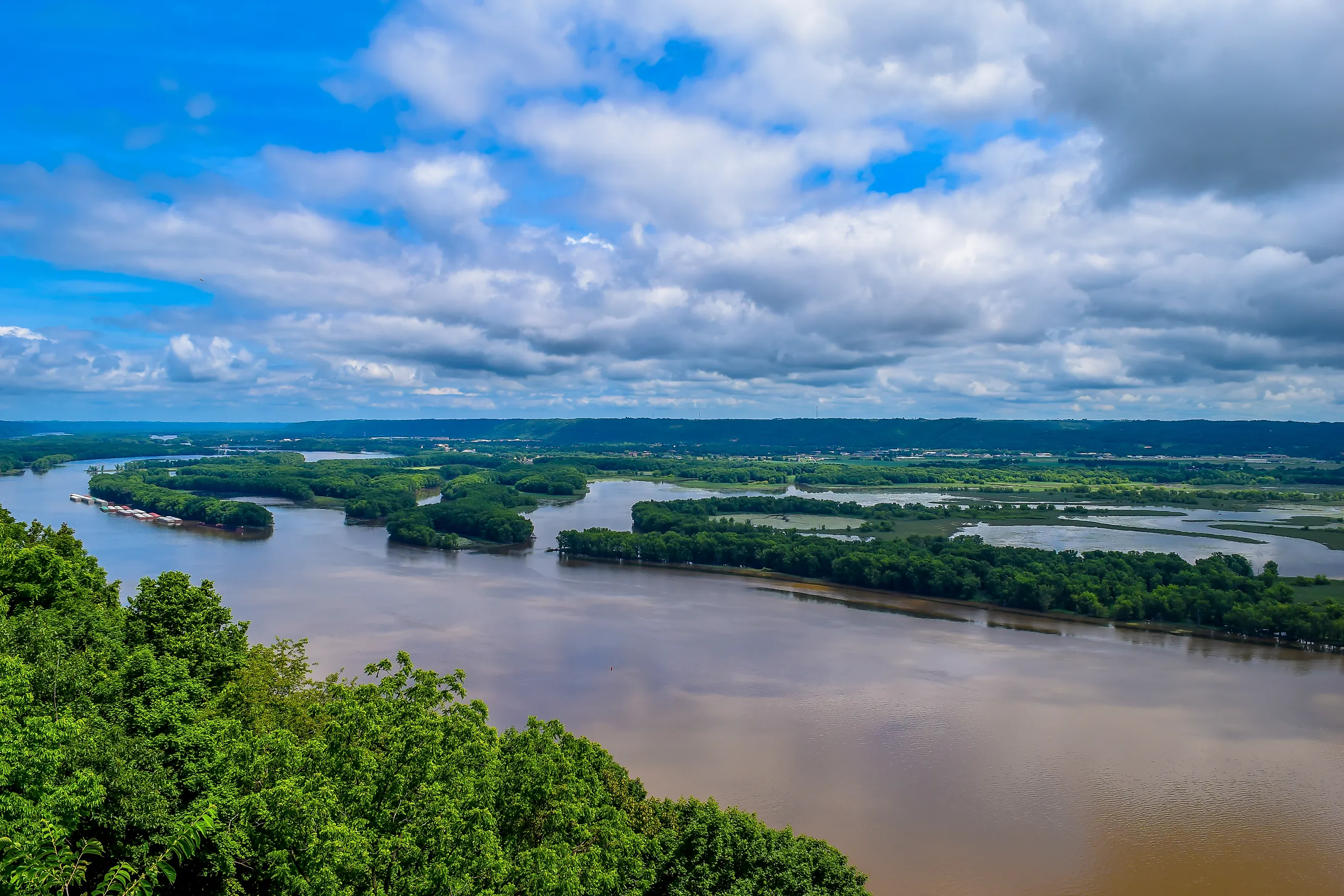
Two of every five acres in the Lower 48 drain into the Mississippi. Snowmelt in the Rockies, storms over the Great Plains, runoff from Midwest farms, and rain in the Appalachians all end up in the same river on the way to Louisiana.
EPA puts the Mississippi-Atchafalaya River Basin at more than 1.245 million mi2, about 41% of the contiguous United States. NOAA draws a tighter line at about 1.15 million mi2. For much of the country, the creek down the road is part of a system that ends at the Gulf, and the five subbasins mapped by the US Geological Survey show how.
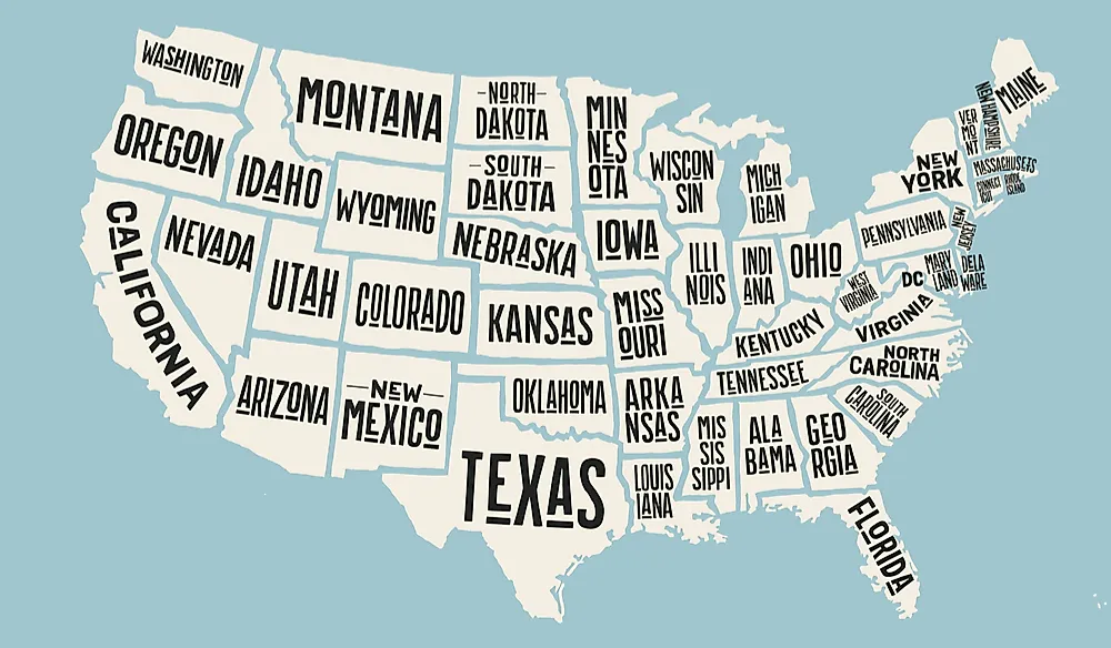
About 41% Of The Lower 48

Take a map of the contiguous United States and shade roughly two acres out of every five. That is close to the territory covered by EPA's Mississippi-Atchafalaya River Basin, which exceeds 1.245 million square miles and reaches across portions of 31 states. The drainage area even crosses the international border into Canada. NOAA's Mississippi watershed figure is smaller, at about 1.15 million square miles, because it uses a narrower boundary that does not fold in the Red River and Atchafalaya system in quite the same way.
The familiar 41% figure therefore needs one qualifier: it applies to the contiguous United States, not the entire country. Alaska alone contributes more than 571,000 square miles of U.S. land, while Hawaii lies completely outside this drainage network. For the Lower 48, though, two-fifths is a remarkably good shorthand for the land tied together by the Mississippi system.
The Missouri Basin Reaches Deep Into The Rockies

The western half of the drainage map is dominated by the Missouri. In the USGS five-basin breakdown, its watershed covers about 522,500 square miles and accounts for 43.1% of the entire Mississippi-Atchafalaya system. The U.S. Army Corps of Engineers gives a closely comparable Missouri River Basin figure of about 529,350 square miles. Its boundaries stretch across the northern and central Great Plains, climb into the Rocky Mountain states, and extend slightly into Canada. That means snow or rain falling near the Continental Divide can enter a Missouri tributary and eventually reach the Mississippi near St. Louis. For a sense of scale, the Missouri basin alone covers more land than California and Texas combined. A river map centered on Missouri therefore captures nearly half of the broader drainage system before the Mississippi's other major branches are even added.
The Arkansas And Red Rivers Add More Than 225,000 Square Miles
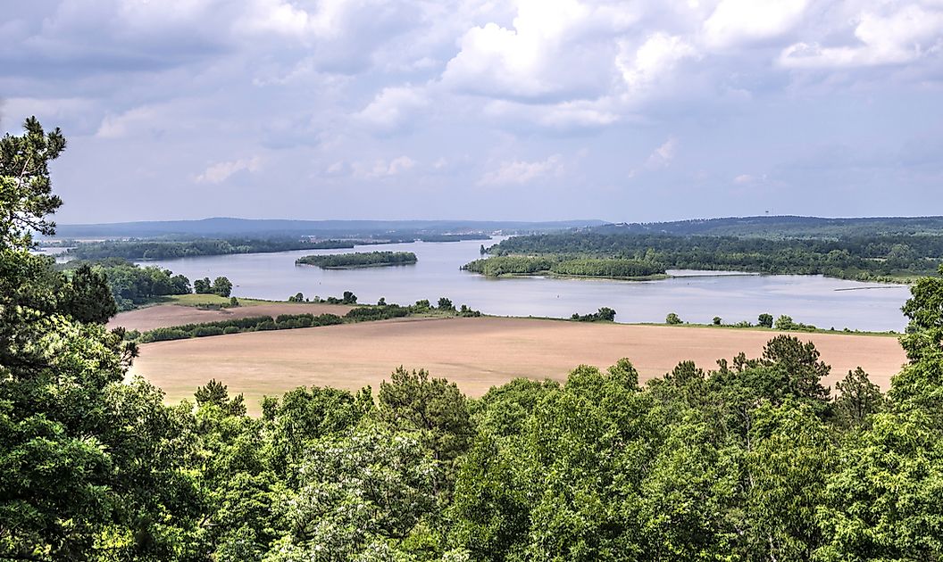
South of the Missouri basin, the Arkansas and Red river systems spread across another broad belt of the interior. USGS places their combined drainage area at about 584,100 square kilometers, roughly 225,500 square miles. That works out to 18.6% of the Mississippi-Atchafalaya system, making this the second-largest of the five major subbasins.
The Red River is also the key to understanding why federal agencies publish different totals for the Mississippi system. USGS measures the Red River Basin itself at roughly 94,500 square miles, reaching from the southern High Plains toward Louisiana.
Near the bottom of that journey, Red River water enters the Atchafalaya system, which reaches the Gulf through an outlet west of the Mississippi Delta. Including that drainage is what helps lift the broader federal total to about 1.245 million square miles instead of NOAA's narrower 1.15-million-square-mile Mississippi watershed figure.
The Ohio And Tennessee Basin Sends An Outsized Share Of The Water

The eastern side of the Mississippi system occupies less territory than the Missouri basin, yet it delivers far more water for its size. The Ohio and Tennessee subbasin covers about 203,000 square miles, equal to 16.7% of the broader drainage area. USGS research found that the Ohio system supplied nearly half of the water moving toward the Gulf during the period studied, even though its watershed is less than half the size of the Missouri's.
Climate explains the gap. The Ohio basin reaches through the wetter Appalachian region and Ohio Valley before the river meets the Mississippi at Cairo, Illinois. The western Missouri basin spreads across much drier plains and mountain country. Two enormous tributary systems therefore arrive at the Mississippi with very different hydrologic signatures: one dominates the map by area, while the other can contribute an exceptionally large portion of the flow heading south.
The Upper Mississippi Covers Nearly 191,000 Square Miles
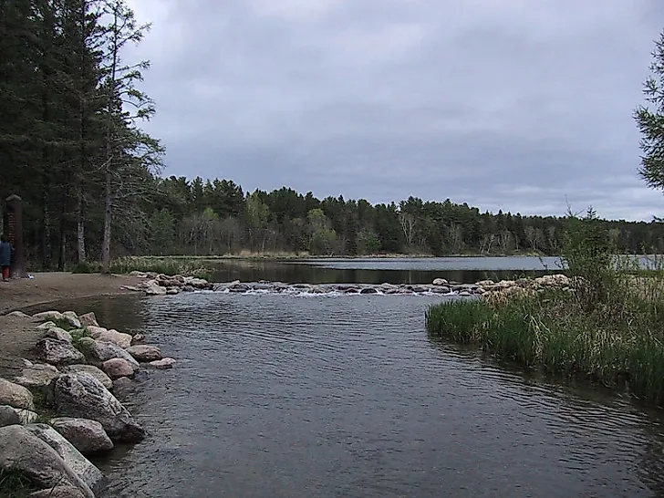
The Mississippi begins at Lake Itasca in northern Minnesota, but its drainage area expands rapidly once tributaries across the Upper Midwest join the network. USGS puts the Upper Mississippi subbasin at about 190,700 square miles, or 15.7% of the Mississippi-Atchafalaya total. Rivers including the Minnesota and Illinois extend that footprint far beyond the main channel before the Mississippi reaches its junction with the Missouri. The region also has a measurable downstream effect on water quality. In a USGS analysis covering 1981 through 2005, the Upper Mississippi contributed 43% of the net dissolved nitrite-plus-nitrate flux from the five major subbasins. Runoff entering streams across Midwestern farm country can therefore remain part of the same river system all the way to coastal Louisiana, more than a thousand river miles downstream.
The Lower Mississippi Basin Is Surprisingly Small

The broad, powerful river flowing through the Deep South gives the lower Mississippi an enormous visual presence, yet its own local drainage basin is the smallest of the five major USGS divisions. It covers about 70,700 square miles, just 5.8% of the full Mississippi-Atchafalaya system.
By this point, most of the water in the channel has arrived from much farther away. Missouri tributaries have carried runoff across the Plains, the Ohio has supplied water from the wetter East, and the Upper Mississippi has gathered flow throughout the Midwest.
That enormous upstream connection continues all the way to the Gulf. EPA and NOAA monitor nutrient loads carried through the Mississippi and Atchafalaya because excess nitrogen and phosphorus contribute to the Gulf of Mexico's recurring summer hypoxic zone. Water entering a creek in the nation's interior can therefore become part of an environmental process measured hundreds of miles away along the Louisiana coast.
The Best Answer Is Roughly Two-Fifths Of The Contiguous US

So how much of America does the Mississippi system actually drain? For the Lower 48, roughly two-fifths is the strongest concise answer. EPA's broad Mississippi-Atchafalaya boundary covers more than 1.245 million square miles and about 41% of the contiguous United States, while NOAA's narrower Mississippi watershed measures about 1.15 million square miles. The difference depends largely on how the Red River and Atchafalaya drainage is treated.
The geography behind those numbers is the more striking part. A snowfield near the Rockies, a thunderstorm over Nebraska, runoff from an Iowa cornfield, and rain in the Appalachian region can all feed tributaries belonging to the same continental drainage network. The Mississippi's main channel is only one piece of that map. The watershed around it reaches across a huge share of the country before all of that water converges toward the Gulf.