The Counties That Are Mostly Federal Land
Federal land makes up a substantial share of the United States, especially in the West. The National Association of Counties reports that about 640 million acres of nontaxable federal public land are located across more than 1,700 counties. About 62% of US counties contain such land. Federal agencies, including the Bureau of Land Management (BLM), US Forest Service (USFS), and National Park Service (NPS), manage large areas for conservation, recreation, resource use, national defense, and other purposes.
Lincoln County, Nevada, has the highest federal share on this list, at 97.8%. Nye County's Nevada National Security Site hosted 928 nuclear tests from 1951 through 1992. California's Inyo County holds a large part of Death Valley National Park, including Badwater Basin, the lowest point in North America. Read on to discover more about 10 US counties that are mostly federal land.
Lincoln County, Nevada

A 2023 BLM socioeconomic analysis reported that 97.8% of Lincoln County was federally owned, including approximately 5.6 million acres managed by BLM. The US Fish and Wildlife Service manages Pahranagat National Wildlife Refuge, a wetland refuge that provides important habitat for migratory birds and other wildlife, and visitors can use its hiking trails and designated camping areas. The refuge was established in 1963 and lies on the Pacific Flyway, a major north-south migratory route. BLM also manages the Silver State Trail, an extensive network of designated off-highway vehicle routes in Lincoln County that connects public lands with communities including Alamo, Caliente, Panaca, and Pioche.
Nye County, Nevada

The same 2023 BLM analysis reported that 97.2% of Nye County's approximately 11.6 million acres were federally owned. BLM is the county's largest federal land manager, while the Department of Energy, Department of Defense, NPS, USFS, and other agencies administer additional areas. Yucca Mountain is the site proposed by the US Department of Energy for a geologic repository for spent nuclear fuel and high-level radioactive waste. The Nevada National Security Site, also a Department of Energy site, covers about 1,355 square miles. A total of 928 nuclear tests were conducted there from 1951 through 1992, including 100 atmospheric tests and 828 underground tests.
Esmeralda County, Nevada

A 2025 BLM socioeconomic report lists approximately 97.2% of Esmeralda County as federally managed, including 94.1% managed by BLM and 2.9% by USFS. The Boundary Peak Wilderness, a federally designated wilderness within Inyo National Forest, contains Boundary Peak, Nevada's highest point. Most visitors to the wilderness come here to hike. Congress designated the 10,000-acre wilderness in 1989. Boundary Peak rises to 13,140 feet in the White Mountains, and the wilderness holds sagebrush steppe and pinyon-juniper woodlands at lower elevations, bristlecone pine forests near tree line, and alpine tundra along its high plateaus. BLM lists the Silver Peak Range Wilderness Study Area at approximately 33,900 acres.
White Pine County, Nevada

A BLM land-ownership analysis reported 94.3% federal ownership in White Pine County. Congress established Great Basin National Park in 1986, incorporating the former Lehman Caves National Monument. The park's 13,063-foot Wheeler Peak is the second-highest mountain in Nevada, and the park is also known for its bristlecone pine forest. The park lies near Baker, east of Ely, and was designated an International Dark Sky Park in 2016. The county also includes part of the Humboldt-Toiyabe National Forest, a 6.3-million-acre national forest made up of non-contiguous areas across Nevada and eastern California. The Forest Service describes it as the largest national forest in the lower 48 states.
Inyo County, California

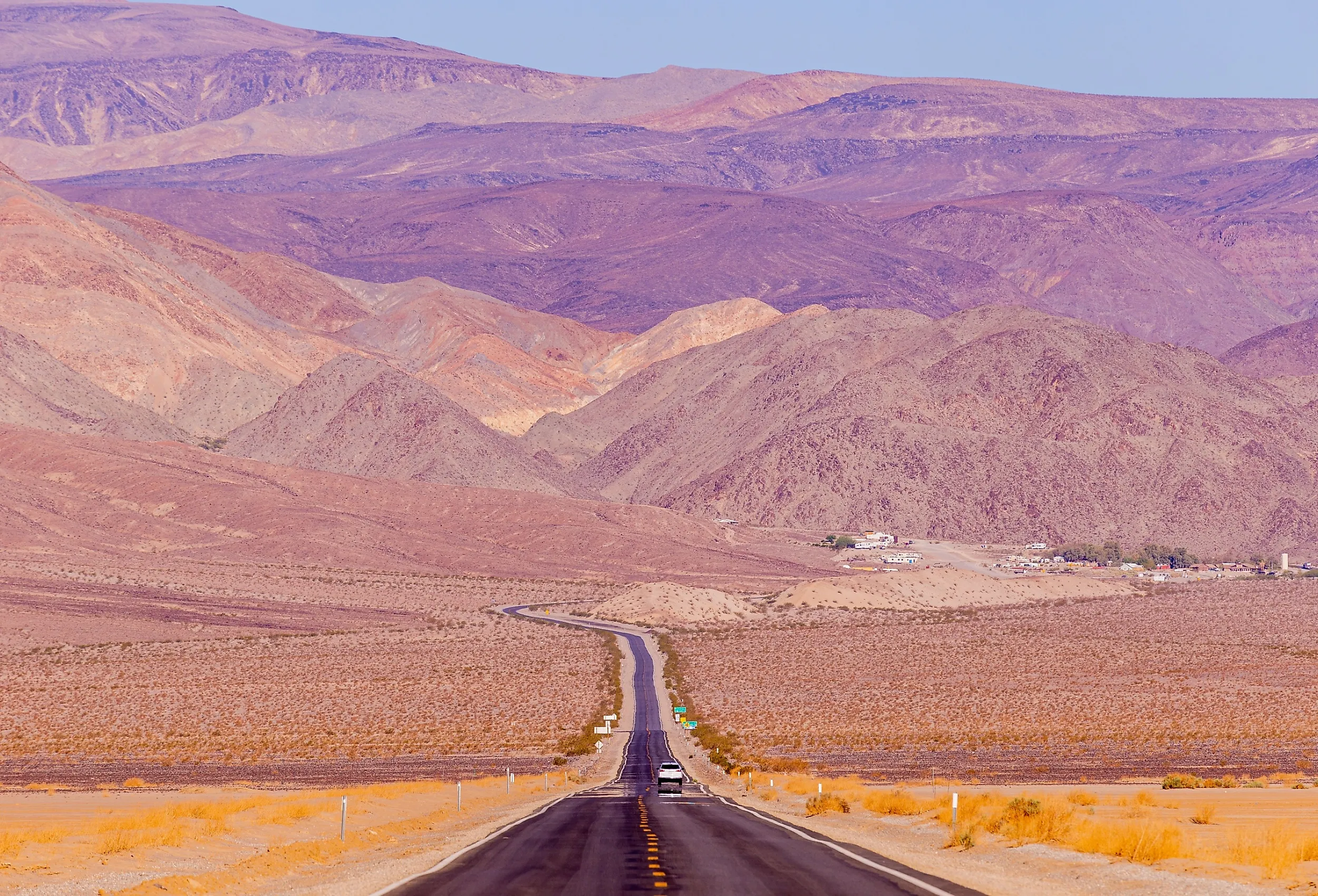
Inyo County reports that 92.0% of its land is federally owned. BLM, USFS, NPS, and other federal agencies manage much of the county's desert and mountain terrain. A large part of Death Valley National Park lies in Inyo County. The park includes Badwater Basin, which reaches 282 feet below sea level and is the lowest point in North America. Nearly 92% of the park's 3.4 million acres is designated wilderness, the largest designated wilderness area outside Alaska. Inyo National Forest manages the eastern approach and the Mount Whitney Zone, which are used by many hikers heading toward Mount Whitney. The summit itself lies within Sequoia National Park and is the highest point in the contiguous United States.
Custer County, Idaho

The Idaho Secretary of State's land-ownership table lists approximately 92% of Custer County as federal land. USFS manages much of the county, with additional federal land administered by BLM. Parts of the federally managed Sawtooth National Recreation Area lie in Custer County and include mountain terrain, lakes, trails, and designated wilderness. Congress established the recreation area in 1972, and it takes in four mountain ranges: the Sawtooths, the Boulders, the White Clouds, and the Smokies. The county also includes land in the Central Idaho Dark Sky Reserve, which was designated in 2017 as the first International Dark Sky Reserve in the United States. The reserve covers about 1,416 square miles and also extends into Blaine, Boise, and Elmore counties.
Garfield County, Utah

Utah's 2024 land-ownership inventory reports that 90.0% of Garfield County is federally owned. Federal holdings include national park and BLM lands across southern Utah. NPS describes Bryce Canyon National Park as containing the world's largest concentration of hoodoos, the irregular rock columns for which the park is famous. President Warren G. Harding proclaimed Bryce Canyon a national monument in 1923, and it became a national park in 1928. The park now covers 35,835 acres. The boundaries of Grand Staircase-Escalante National Monument were modified by presidential proclamation on July 13, 2026, and BLM currently lists the monument at 181,541 acres of BLM-administered public land.
Lemhi County, Idaho

Idaho's land-ownership data lists approximately 90% of Lemhi County as federally owned. Much of the federal acreage is managed by the USFS and BLM. The approximately 3,100-mile Continental Divide National Scenic Trail follows the divide between Mexico and Canada and passes through Idaho along portions of the Montana border. The trail is administered nationally by the US Forest Service. Lemhi Pass, a National Historic Landmark on the Idaho-Montana border, marks where Meriwether Lewis crossed the Continental Divide on August 12, 1805. The pass is encompassed by the Salmon-Challis National Forest in Idaho and the Beaverhead-Deerlodge National Forest in Montana. The rugged Lemhi Range also forms part of eastern Idaho's federal public-land landscape, with large areas managed by USFS and BLM.
Mineral County, Nevada

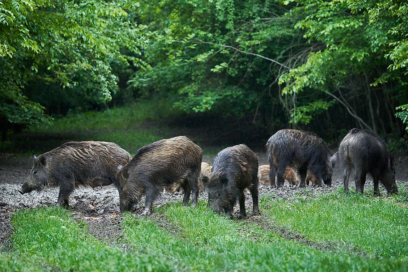
University of Nevada, Reno Extension data, based on the US Geological Survey's Protected Areas Database, reports that BLM manages 64.8% of Mineral County, and other federal agencies manage another 21.3%. Together, federal lands account for approximately 86.1% of the county. The Hawthorne Army Depot, a US Army facility, covers about 147,000 acres and is described by the Army as the world's largest ammunition storage depot. The Navy established the depot after a 1926 explosion destroyed its Lake Denmark ammunition depot in New Jersey, and during World War II, Hawthorne served as a staging area for bombs, rockets, and ammunition. BLM describes the Marietta Wild Burro Range, dedicated in 1991, as the nation's first formally recognized Wild Burro Range.
Wayne County, Utah

Utah regional planning data, based on the state's land ownership dataset, puts Wayne County's federal share at about 85.5%. NPS, BLM, and USFS manage large areas of the county. Capitol Reef National Park encompasses most of the Waterpocket Fold, a roughly 100-mile geological monocline, and Cathedral Valley is another prominent area within the park. President Franklin D. Roosevelt proclaimed Capitol Reef a national monument in 1937, and Congress established it as a national park in 1971. The park's historic Fruita orchards are owned and managed by NPS. BLM manages extensive public land in the Henry Mountains, a range across Wayne and Garfield counties that supports the free-roaming Henry Mountains bison herd.
The Federal West, County by County
In much of the West, federal ownership is the norm rather than the exception, and the Federal Land Policy and Management Act of 1976 set a general policy of keeping BLM public lands in federal ownership. From Lincoln County, Nevada, at 97.8% federal land, to Wayne County, Utah, at about 85.5%, these counties hold deserts, forests, mountain ranges, military facilities, wildlife refuges, and national parks. In each case, most of the ground is public and managed by federal agencies.