7 Cute Small Town Drives In Ohio
The best small-town drives in Ohio take less time than a ballgame. In a matter of hours, views can include both the Marblehead Peninsula and the Glen Helen Nature Preserve in Yellow Springs. In between are stops like the Holmes County cheese shops and the waterfalls of the Cuyahoga Valley National Park. The distances range from 5 to 42 miles, so each of these scenic drives will fit perfectly into a Saturday itinerary. Most of these conclude with a local meal, such as a pecan pie in Berlin, popcorn in Chagrin Falls, or ice cream at Young's Jersey Dairy. So top up the tank, juice up the phone, and leave some room for pie and cheese, all paired with panoramic views of Ohio's cutest small-town drives.
Vermilion To Marblehead

This 42-mile drive takes US Route 6 west from Vermilion to Huron and Sandusky, and then north to Marblehead and its peninsula. The journey is approximately 51 minutes with no stops.
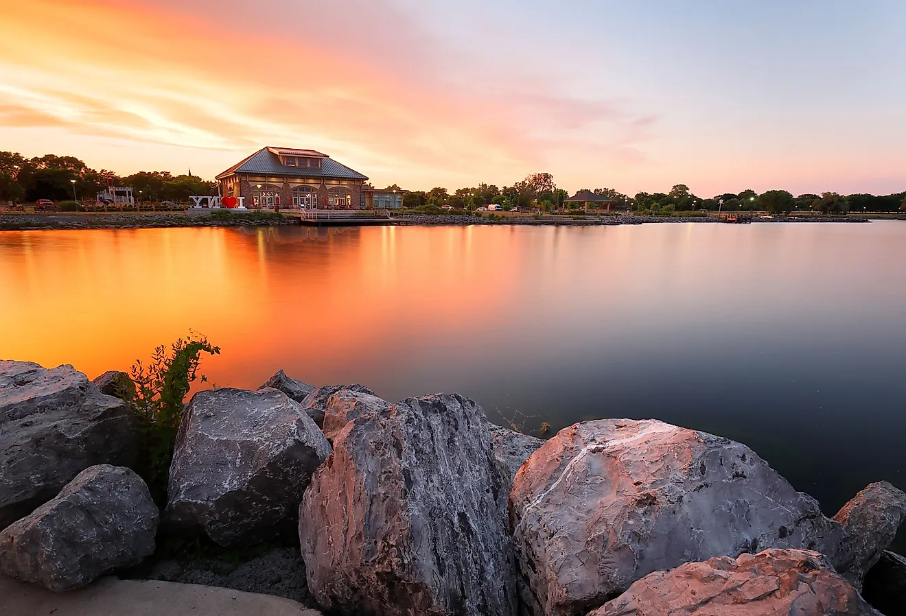
Vermilion is located at the intersection of the Vermilion River and Lake Erie, and Main Street Beach remains a popular gathering place on summer evenings. Vermilion was dubbed the Town of Sea Captains, and the replica Vermilion Lighthouse at Main Street Beach commemorates that history. The Great Lakes Historical Society rebuilt a replica tower in 1991, 62 years after the original was moved to New York.
Just before Marblehead is the gated Chautauqua community of Lakeside, which has been operating programs for over 140 years. It is made up of about 900 cottages arranged in a gated grid of streets, and its Hoover Auditorium, constructed in 1929, hosts concerts and lectures throughout the summer.
The Marblehead Lighthouse marks the end of the route within Marblehead Lighthouse State Park. The limestone tower was erected in 1821 and first lit in 1822, making it the oldest continuously operating lighthouse on the American side of the Great Lakes.
Millersburg To Berlin To Walnut Creek

Holmes County has one of the largest Amish communities in the world, and this 18-mile drive is the busiest part of it. Millersburg is connected to Berlin via US 62 and State Route 39, which extends east to Walnut Creek. Horse-drawn buggies share the shoulder, allowing traffic to move slowly so drivers can read the signs.
A stop at Heini's Cheese Chalet on County Road 77 offers samples of more than 25 cheeses, and the family has been making yogurt cheese since 1935. In Berlin, the Amish and Mennonite Heritage Center is home to Behalt, a 10-foot-by-265-foot cyclorama that painter Heinz Gaugel completed in 1992 after 14 years of work. Boyd & Wurthmann Restaurant has been on Main Street since 1938, specializing in pie and pecan desserts.
Walnut Creek completes the drive with Der Dutchman Restaurant and Bakery, serving the best broasted chicken, mashed potatoes, and fruit pies along Walnut Street. Coblentz Chocolate Company is a few blocks ahead, a premier chocolate hotspot that has been operating since 1987, making over 100 varieties of chocolates and candies by hand.
Lancaster To Logan

The drive from Lancaster to Logan is a 19-mile stretch along US 33, taking approximately 22 minutes. The downtown area is home to over 30 shops, restaurants, and a brewery within a two-block radius before the road turns south. The Decorative Arts Center of Ohio is just steps away in the Reese-Peters House, built in 1835, and the Ohio Glass Museum brings the city's glassmaking history to life with live glass-blowing demonstrations.
Between Lancaster and Logan, at the intersection of US Route 33 and State Route 374, is the Rockbridge community in Hocking County. It serves as an access point to Ohio's Hocking Hills, a natural paradise home to Old Man's Cave, Cedar Falls, and Cantwell Cliffs, all within a few minutes of the highway.
Logan is home to the official Hocking Hills Visitor Center and is closest to the waterfalls and caves in the park. The ride hugs the edge of the Allegheny Plateau as sandstone cliffs begin to replace the flatter farmland around Lancaster.
Peninsula To Hudson To Chagrin Falls

Peninsula, Hudson, and Chagrin Falls make up a 23-mile circuit, which takes about 50 minutes around the Cuyahoga Valley. Peninsula marks the quiet end of this route, a village located in Cuyahoga Valley National Park, Ohio's only national park.
Hudson, on the other hand, opens around its town green, 8 miles east on State Route 303, past Happy Days Lodge. Still within town, the 1912 Hudson Clock Tower stands near the First Congregational Church, as a gift from benefactor James Ellsworth. A drive through Hudson's western reserve also opens up to the Brewster Mansion, an 1853 Gothic Revival house featuring sandstone blocks and Tudor-arched porches. Hudson has retained its town square and clock tower in the middle of an historic neighborhood organized in a classic Western Reserve pattern.
Chagrin Falls is located 15 miles northeast, where the waterfall still flows down the middle of the village. The Chagrin Falls Popcorn Shop, located in a building dating back to 1875, is just close enough to the falls that the spray reaches the windows in high water. All three towns are still on the low side compared to other major cities in the state, and the drive works just as well in October colors as in the summer.
Zoar To Dover To New Philadelphia

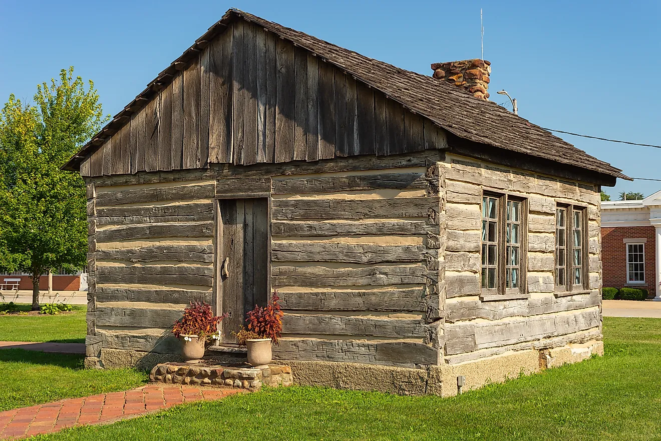
Zoar, New Philadelphia, and Dover are all situated along the Tuscarawas River and the Ohio and Erie Canal Byway, spanning approximately 13 miles in total. For 80 years, Zoar was a communal village, and the historic district retains many of the original German Separatist buildings and symbolic works. A Norway spruce still stands in the center of the Zoar Garden as a symbol of Jesus, while the Bimeler Cabin, built in 1817, remains the oldest building in Zoar and Tuscarawas County.
Dover is right next door, with a rivalry football game that has been played for over 100 years. Dover is home to the Ernest Warther Museum and Gardens on Karl Avenue, south of the village, where the steam-engine carvings created by master carver Ernest "Mooney" Warther share the grounds with his wife Frieda's collection of over 73,000 buttons.
In approximately 20 minutes, the drive on the byway will lead to New Philadelphia, the county seat of Tuscarawas County. This ride leads drivers to New Philadelphia's reconstructed 16 Moravian mission log cabins on the site of the first settlement in Ohio. New Philadelphia's downtown was designed as a miniature version of Philadelphia, Pennsylvania, including a miniature Independence Hall as a post office.
Loudonville To Perrysville

Loudonville to Perrysville is one of the shortest drives on this list at just 5 miles and about 8 minutes, but the surrounding Mohican Valley makes it worth the detour. Loudonville is the Canoe Capital of Ohio, and the Mohican River is located close enough to downtown to launch a canoe from the city.
State Route 3 heads south to Mohican State Park, where Mohican Covered Bridge crosses the Clear Fork within the Clear Fork Gorge, a National Natural Landmark. The two-mile Lyons Falls Trail runs through Big and Little Lyons Falls, and the two-mile Hemlock Gorge Trail leads along the Clear Fork under hemlocks to the covered bridge. The Clear Fork is one of three streams in Ohio that are stocked with brown trout.
This state road runs from Loudonville to Mohican State Park, where there are areas without cell coverage in the forest. Perrysville, located just northwest, is the county's third-largest municipality and has access to the Mohican State Forest.
Yellow Springs To Cedarville

The distance from Yellow Springs to Cedarville is only 7 miles along State Route 72, and the small village of Clifton lies almost right in the middle. The drive is like none other in Ohio, characterized by rolling hills, farmlands, gorges, waterfalls, and restaurants such as Young's Jersey Dairy.
At Clifton, Owen Davis constructed the first mill in 1802, and a 90-foot covered bridge that still crosses the Little Miami River near the mill site. The river flows through Clifton Gorge and is a National Natural Landmark. It is accessible to all drivers from Yellow Springs' Glen Helen Nature Preserve through State Route 343 east from US 68 for approximately 3 miles to Clifton.
Yellow Springs is located at the northern terminus of the Little Miami Scenic Trail, a paved trail that runs along the road for most of its length. Clifton is home to one of the smallest populations on this list, centered around the historic Clifton Mill along the Little Miami River. The drive runs for about 13 minutes before ending at Cedarville, home of Cedarville University.
The seven drives are typically missing from national travel lists, and that is why they are great for Ohio. Each one connects small towns most Ohioans already know by name, with real mileage and real reasons to pull over along the way. No one has to fill up the gas tank or take a day off work for any of these. Most of them are covered on a Saturday afternoon or over the weekend, and the best part is that many Ohioans are well familiar with the routes.