The Largest National Forest Outside Alaska
Alaska wins most American size contests, and national forests are no exception. The Tongass alone runs to 16.7 million acres, which is larger than West Virginia. Take Alaska off the board, though, and the answer moves somewhere almost nobody guesses. The largest national forest in the contiguous United States is the Humboldt-Toiyabe, at 6,289,821 acres, and it sits almost entirely in Nevada. That is roughly the land area of Massachusetts, held by a state most people picture as slot machines and open desert.
It is also stranger than a simple superlative suggests. The Humboldt-Toiyabe is not one forest, was not built as one, and in places does not look much like a forest at all.
Six Point Three Million Acres, Almost All Of It In Nevada

The official figure is 6,289,821 acres. Around 89 percent of that is in Nevada, with the remaining slice in eastern California near Bridgeport and Markleeville, west toward the Sierra crest. Part of the western edge runs down toward Lake Tahoe, which is where most visitors encounter the forest without knowing its name. The forest touches 13 counties.
Put against the whole system, it ranks second nationally. Only the Tongass is bigger. Chugach, the other Alaskan heavyweight, comes in behind it at roughly 5.4 million acres, which means the biggest forest in the Lower 48 also outranks one of the two Alaskan giants outright.
The administrative footprint tells you something about the scale. Forest offices operate out of Austin, Carson City, Elko, Ely, Las Vegas, Sparks, Tonopah, Wells, and Winnemucca in Nevada, plus Bridgeport in California. Most national forests need one headquarters and a few district offices. This one needs ten towns.
It Is Not One Forest, And It Never Was

Two forests became one on paper. The Toiyabe was established on March 2, 1907, and the Humboldt followed on July 1, 1908. The Forest Service combined them administratively in 1995, though they remain legally and geographically distinct.
More unusual is the shape. Most national forests are a single contiguous block with a squiggly boundary. The Humboldt-Toiyabe is a scatter of large but separate sections spread across most of Nevada, from the Santa Rosa Range near the Oregon line down to the Spring Mountains outside Las Vegas. Driving between two parts of the same forest can take the better part of a day.
The names carry their own history. Toiyabe is a Shoshone word meaning mountain. Humboldt came secondhand: the explorer John C. Fremont named the river and range after Alexander von Humboldt, the German naturalist, who never visited Nevada and appears to have had no particular connection to it.
One Ranger District Is Bigger Than Some States

The Austin-Tonopah Ranger District covers over 2.1 million acres in central Nevada, making it the largest ranger district in the Lower 48. For comparison, that single district outsizes most entire national forests east of the Mississippi.
What it does not have is trails. Despite the acreage, only a handful of designated hiking trails exist across the whole district, and the main road through it is the stretch of US Route 50 that picked up the nickname the Loneliest Road in America. The Bridgeport Ranger District on the California side runs 1.2 million acres across five separate mountain ranges.
Why A Desert State Holds So Much Forest

The confusion comes from the word forest, which in Forest Service usage means a management unit rather than a description of tree cover.
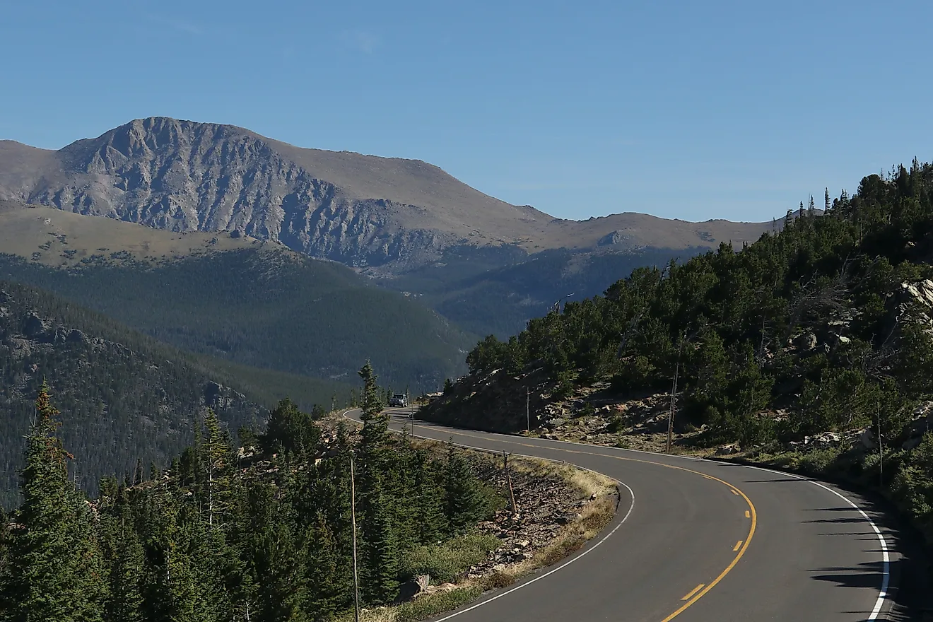
Nevada sits in the Basin and Range, a landscape of long north-south mountain ranges separated by wide desert valleys. Those ranges rise high enough to catch precipitation the valleys never see, which produces isolated pockets of woodland stacked on top of dry country. Ecologists call them sky islands. Elevations across the forest run from around 5,000 feet in the basins to peaks above 11,000 feet.
What grows there is mostly not the timber people picture. Pinyon pine and juniper dominate the mid-elevations, with limber and bristlecone pine higher up and aspen in the wet draws. Nevada has more mountain ranges than any other state, and the Humboldt-Toiyabe is essentially the federal government managing the tops of them.
Eighteen Wilderness Areas Inside One Boundary

The forest administers 18 designated wilderness areas, and the range between them is the point.
Quinn Canyon in eastern Nevada is a maze of deep canyons and peaks above 10,000 feet, with red volcanic rhyolite in the lower canyons and gray limestone forming most of the summits. The Mokelumne Wilderness on the California side climbs past 11,000 feet and drops into river canyons hundreds of feet deep, and the Pacific Crest Trail runs through it. The Hoover Wilderness near Bridgeport holds the high Eastern Sierra country above Bridgeport Valley. The Ruby Mountains in northeastern Nevada get called the Nevada Alps by people who have been there and disbelieved by people who have not.
Then there are the Spring Mountains outside Las Vegas, where Mount Charleston tops 11,900 feet within an hour's drive of the Strip. Bristlecone pines several thousand years old grow up there while the valley below runs above 100 degrees.
How It Stacks Against The Alaska Giants

Alaska holds the top spot and not much else in this particular argument.
The Tongass, at 16.7 million acres, is more than two and a half times the size of the Humboldt-Toiyabe and remains the largest national forest in the country by a wide margin. Chugach, at roughly 5.4 million acres, is the third largest. Those two are the whole of Alaska's advantage here, and the Nevada forest slots neatly between them.
The comparison also flatters Nevada in a way the raw numbers hide. Alaska's forests are coastal temperate rainforest, which is exactly what most people mean by forest. The Humboldt-Toiyabe assembled the same acreage out of desert mountain ranges, which required a great deal more geography to add up.
What Largest Actually Means Here

Size on this scale stops meaning what it usually means. A forest that needs ten towns to administer it, spreads across 13 counties in two states, arrives in disconnected pieces, and contains a ranger district larger than several states is not really a place you visit. It is a category that a lot of separate places happen to fall into.
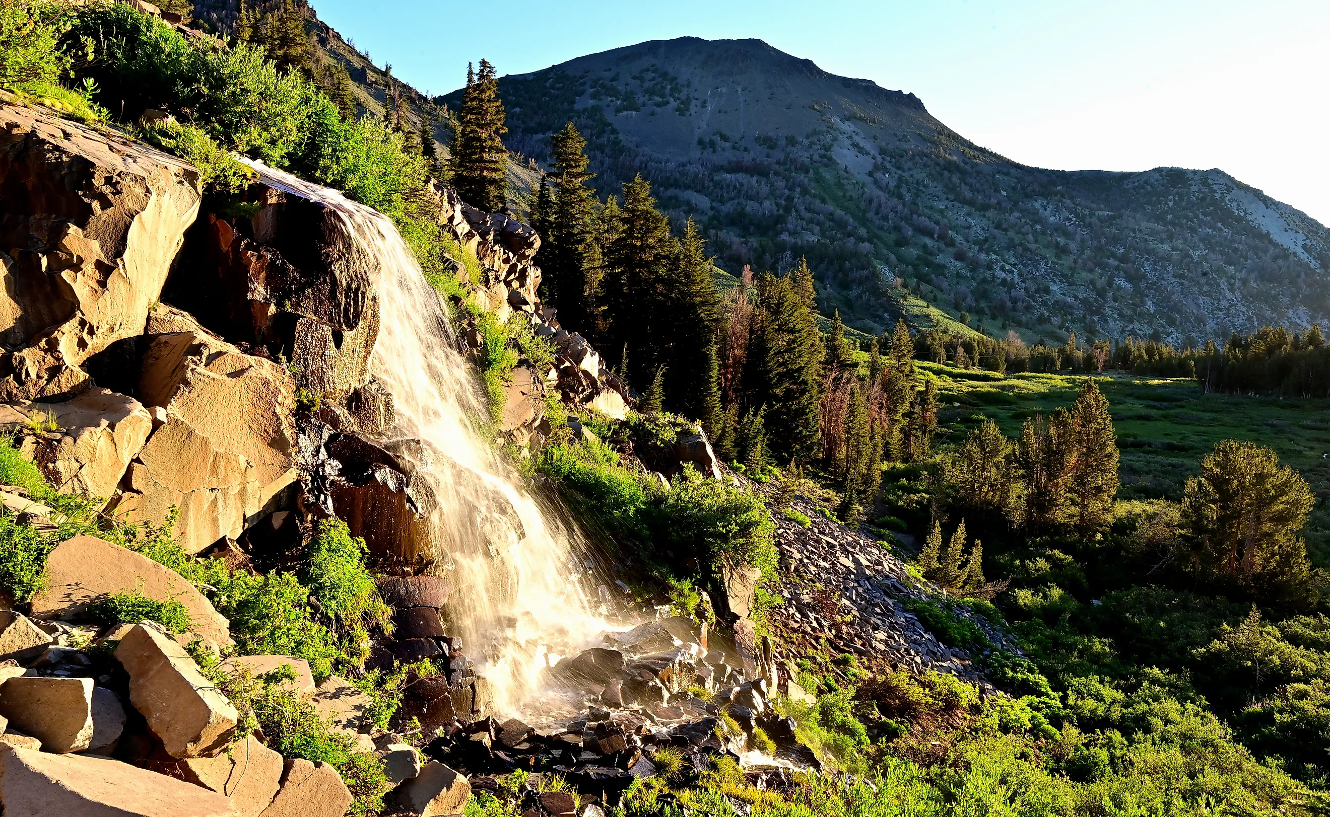
That is worth knowing before anyone plans a trip around it. There is no main entrance, no central visitor center, and no single road that shows you the thing. What there is instead is a Tahoe-adjacent waterfall, a bristlecone grove above Las Vegas, a canyon maze in Lincoln County, and the emptiest paved road in the country running through the middle of the largest ranger district in the Lower 48. Same forest, technically.