The Blue Ridge Parkway Towns Worth Stopping In
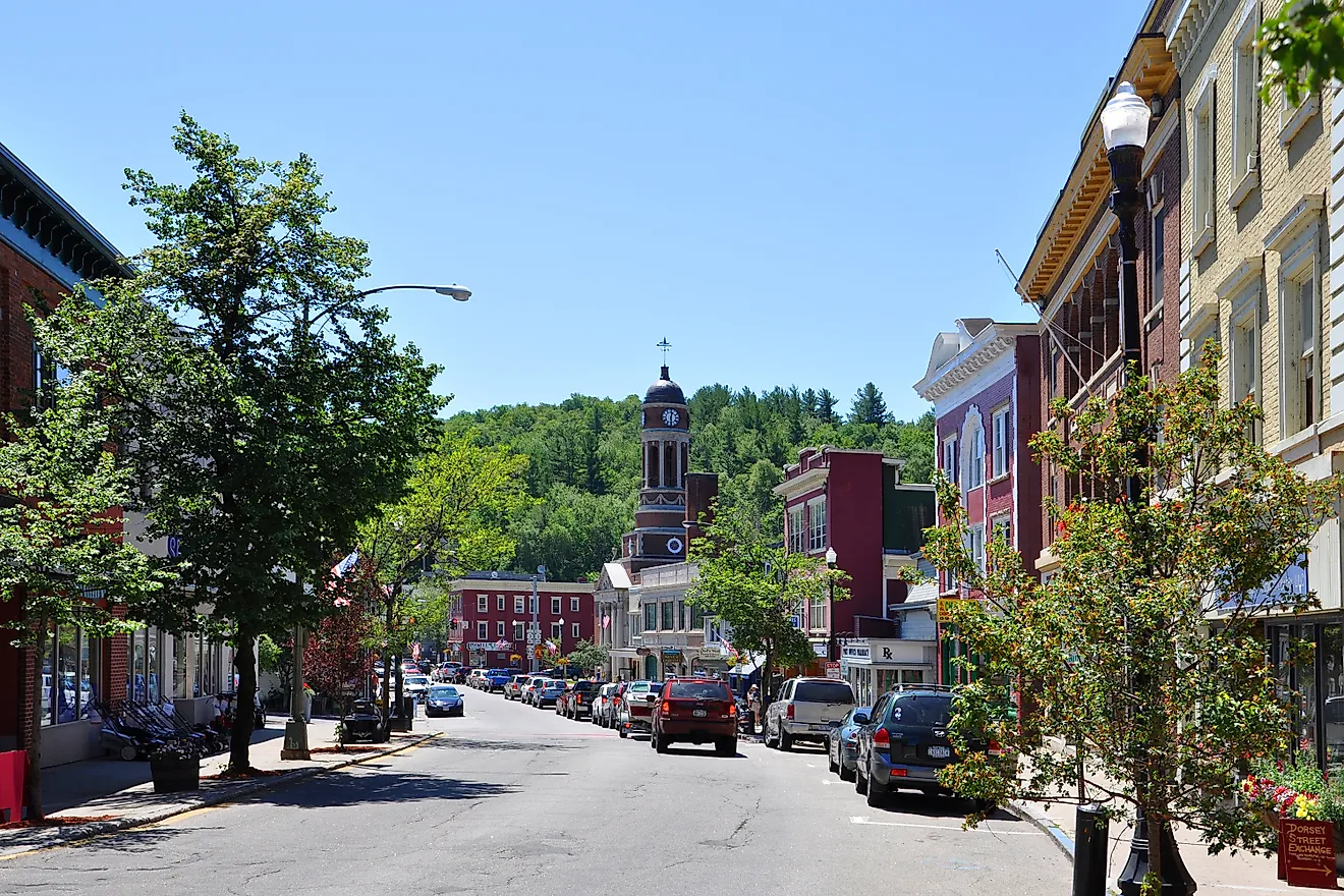
Some of the best stops along the Blue Ridge Parkway are not on the Parkway at all. They sit a few miles down the exit ramps, in small towns scattered from Virginia into North Carolina that most drivers blow right past. Floyd fills a country store with old-time music every Friday night. Bedford holds the National D-Day Memorial, built where more men were lost on June 6 than any town its size. These are reasons to get off the road, not just stretch your legs. The rest comes down to which exits are worth taking.
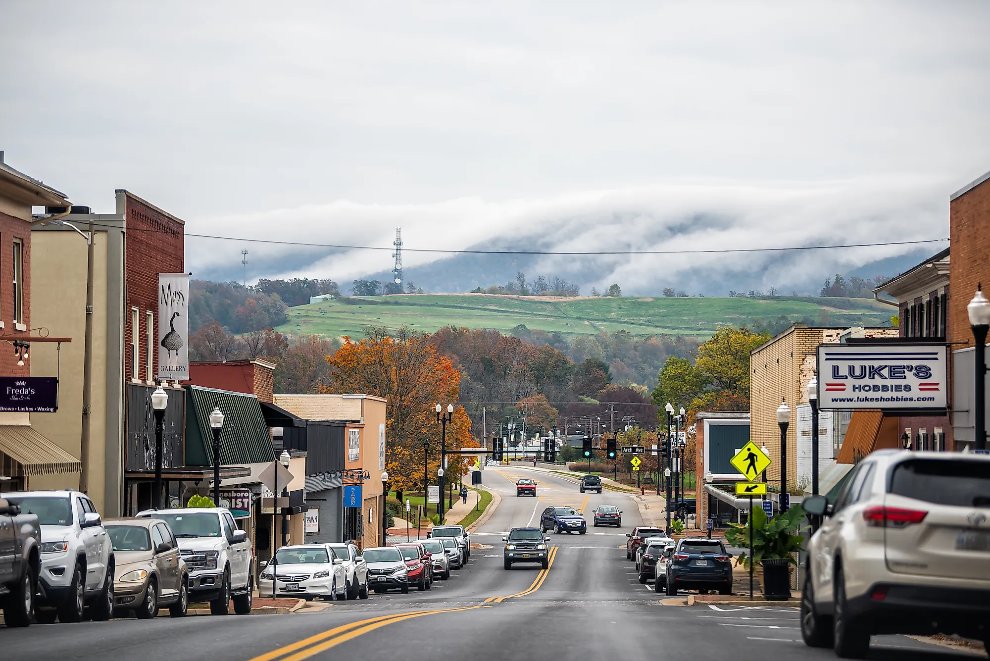
Waynesboro, Virginia

A portrait more than 100 feet tall covers an old ice plant beside Waynesboro's South River. Kaiya with Tulips took artist Nils Westergard less than a week to complete. The South River Greenway provides a view across the water, along with a paved walking route through part of downtown. Waynesboro lies roughly four miles west of Rockfish Gap, where Skyline Drive heads north and the Parkway begins its southward run.
The Street Arts Trail continues among downtown buildings, including a black bear family on West Main Street and an osprey at the Shenandoah Valley Art Center. The center has indoor galleries, too, so rain need not end the walk. On Main Street, the Wayne Theatre hosts live performances. A second Westergard mural, Poochie (Floral), decorates the theater.
Bedford, Virginia

Sharp Top rises above Abbott Lake near Parkway milepost 86, and the mile-long lakeside loop keeps the mountain in view without a summit climb. Route 43 connects the Peaks of Otter with Bedford, descending toward a downtown where Goose Creek Studio displays regional artists' work on Court Street. At Beale's, lunch can mean sliced brisket or pulled pork, with a tangy Virginia-style red sauce among the choices. The brewery makes its beer in Bedford.
The National D-Day Memorial calls for a longer stop on the edge of town. Its outdoor grounds interpret the Normandy invasion, with a direct connection to Bedford's families: 20 local men died on D-Day. Nineteen served in Company A of the 116th Infantry Regiment, and another Bedford native served in Company F. The memorial's Bedford Boys Homefront Tour extends into downtown, connecting the soldiers' lives with places they knew before the war.
Floyd, Virginia

At 6:30 p.m. on Fridays, the Floyd Country Store starts its weekly Jamboree. Regulars and first-time visitors share the hardwood dance floor, and warm-weather music spills into the surrounding alleys and parking areas. The store follows its longstanding Granny's Rules, including no alcohol, so families can settle in for the evening. Reserve a seat if sitting through the show matters to you; space is limited.
Floyd lies about six miles off the Parkway via Route 8 at milepost 165.2. Arrive earlier for coffee at Red Rooster, which roasts its beans in town, or wood-fired pizza at Dogtown Roadhouse on South Locust Street. Dogtown has its own live-music calendar.
A Sunday visit brings a different kind of gathering at the Country Store. Visitors can listen to its free old-time jam at 1:30 p.m., followed by a separate bluegrass session at 4 p.m.
Galax, Virginia

Farther south, Galax shares Floyd's place on Virginia's Crooked Road music trail. Before leaving the Parkway for town, stop at the Blue Ridge Music Center at milepost 213. Free Midday Mountain Music takes place on its breezeway during the operating season. Inside, the Roots of American Music Museum explores traditions that brought the African banjo and European fiddle together.
Route 89 near milepost 216 leads toward Galax and the Rex Theater, home to Blue Ridge Backroads Live. The program broadcasts old-time and bluegrass bands over the radio, extending the audience beyond the theater seats. Daytime visitors can also walk or bike the Galax end of New River Trail State Park. The former railroad route follows Chestnut Creek here on a gentle grade.
Blowing Rock, North Carolina

Hawksbill Mountain and Table Rock are visible across Johns River Gorge from The Blowing Rock, the cliffside attraction that gave this town its name. The paid attraction sits just outside town, with walking paths around the grounds. Downtown is a separate stop near the Parkway's US 321 junction around milepost 292.
Main Street's shops and restaurants run beside Memorial Park. A short walk down Laurel Lane reaches Broyhill Park and its pond, while the Blowing Rock Art & History Museum adds indoor galleries nearby. Admission is free.
Bass Lake extends the walking north of downtown into Moses H. Cone Memorial Park. Its roughly one-mile loop circles the lake below the estate's manor house. Access is directly from US 221, so a lakeside stroll does not require the drive up to the manor.
Little Switzerland, North Carolina

At milepost 334, Switzerland Cafe serves applewood-smoked trout and hickory-smoked pork barbecue just off the Parkway on Highway 226A. Its adjoining general store stocks picnic supplies for the drive. Next door, Little Switzerland Books & Beans has about 30,000 books to browse in a three-story building with a coffee shop. The two businesses make an easy lunch-and-browsing stop without a long descent into a valley. Chalet-style buildings distinguish this small mountain community, and the Chalet Restaurant at Switzerland Inn has mountain views for a longer meal. Plan around seasonal hours: the cafe generally serves lunch between Easter and Halloween, while Books & Beans lists a March-through-November season. The bookstore also has a Level 2 charging station, useful for drivers who want to charge their electric car while they browse.
Waynesville, North Carolina

Below Waynesville's Main Street, Frog Level's old railroad district has a brewery beer garden beside the creek. Frog Level Brewing stages live music during the warmer months and serves food, with a small extra draw for beer drinkers on Tuesdays. At 3 p.m., the brewery taps one of its five-gallon experimental batches. The stop is reached by leaving the Parkway at Balsam Gap near milepost 443 and following US 23/74 toward town.
Uphill on Main Street, Mast General Store sells outdoor gear and old-fashioned candy. The Haywood Handmade Gallery displays regional artists' work along the same street. For an evening performance, Haywood Arts Regional Theatre has a performing arts center at 250 Pigeon Street. Productions use spaces ranging from a small studio theater to a traditional auditorium.
Cherokee, North Carolina

Near the Parkway's southern end, Cherokee sits on the Qualla Boundary, homeland of the Eastern Band of Cherokee Indians. At Qualla Arts and Crafts Mutual, a cooperative established in 1946, the pieces for sale come from Cherokee member-artists. Look closely at the rivercane baskets: the cooperative explains both single-weave and double-weave work, alongside baskets made with split white oak. The oak strips can be dyed using walnuts and roots.
Oconaluftee Islands Park provides a riverside break close to downtown, with footbridges leading to grassy picnic areas. For a final outing beyond town, Mingo Falls drops about 120 feet on Cherokee land. The approach off Big Cove Road includes 161 steps before reaching the falls. It is a short hike with a steep climb, and admission is free.
The distances between these towns need to be read at Parkway speed. The maximum limit is 45 mph, and 30 miles commonly take about an hour before sightseeing. A Friday reservation in Floyd therefore deserves more travel time than the mileage alone might suggest. Fuel stops also require leaving the scenic road, since there are no gas stations directly on the Parkway. Check the National Park Service's current road-status map before each day's drive. Its October 13, 2026 update reported a temporary cleanup closure north of Peaks of Otter and storm-repair closures between NC 80 and Mount Mitchell. Local highways provide alternative approaches to the towns, but a continuous drive along every Parkway mile is not currently possible.