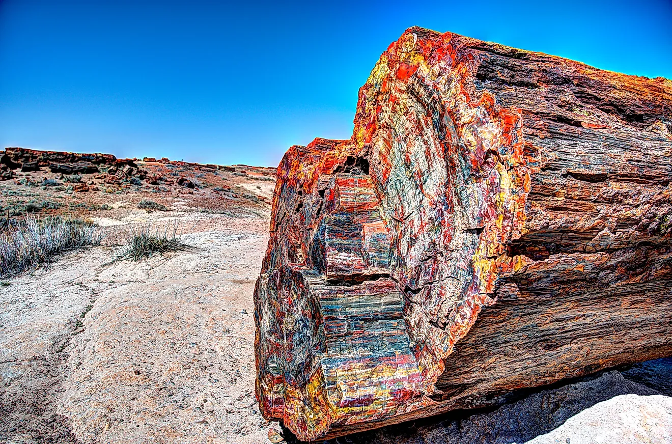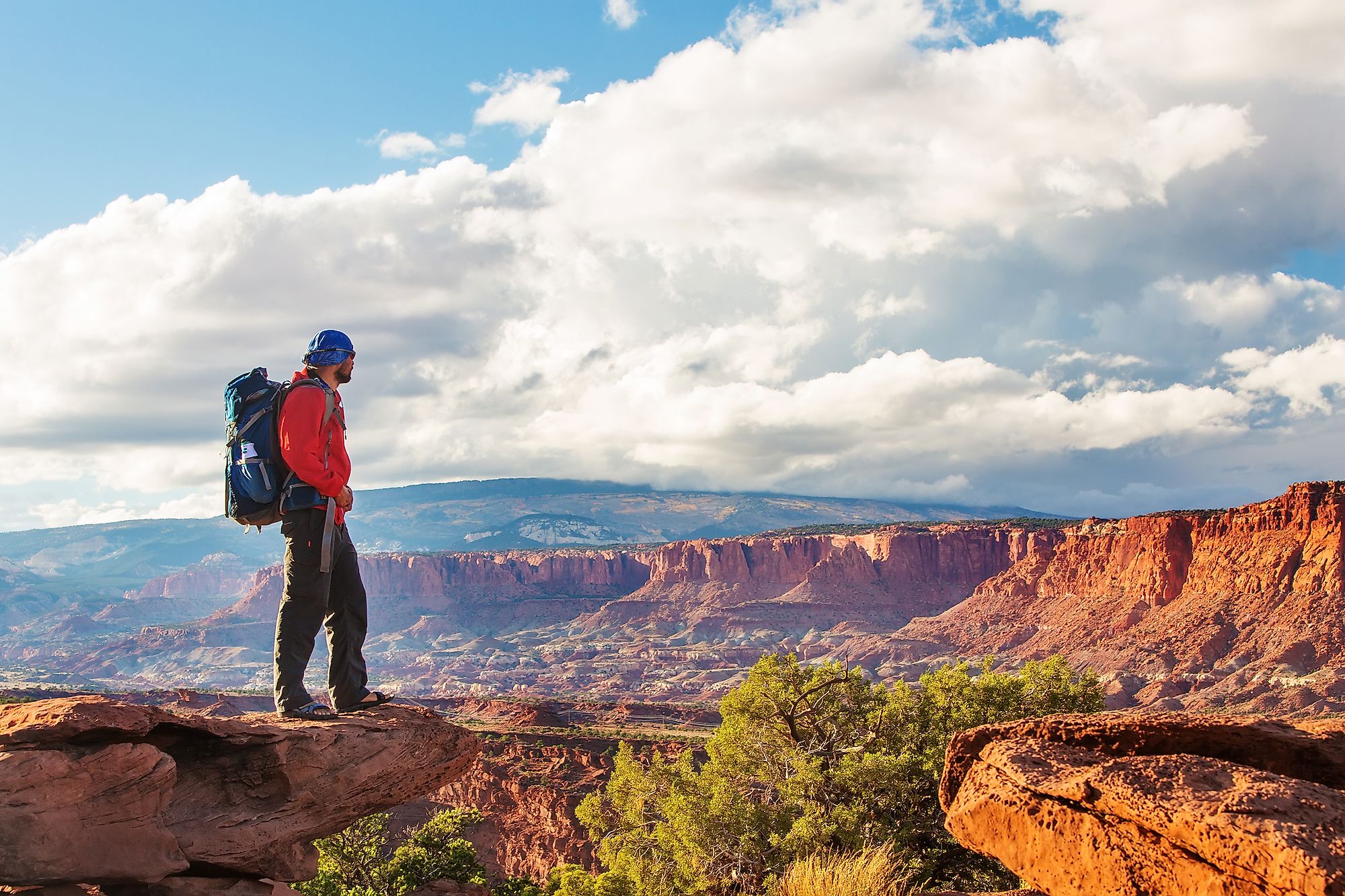
Capitol Reef National Park, Utah
South-central Utah is home to a fascinating park filled with soaring monoliths, canyons, colorful cliffs, bridges, and impressive domes known as the Capitol Reef National Park. Originally known as “Wayne Wonderland,” Capitol Reef is located in the middle of the five national parks in Utah and is the most difficult to access. The park is about 97 km long from north to south and only 9.7 km wide. The park was established in 1971 and preserves about 978.95 sq.km of desert land. Besides the canyons and cliffs, the Capitol Reef National Park’s other main attraction is the 160-km-long Waterpocket Fold, which stretches from Lake Powell to the Thousand Lake Mountain.
Location

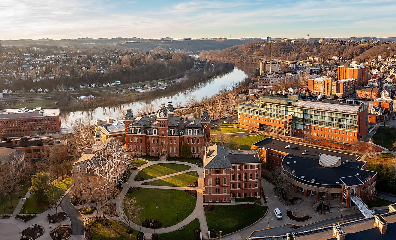
The Capitol Reef National Park is located in Utah’s south-central desert, occupying part of Wayne County. It lies in the middle of Utah’s five big national parks, with Canyonland and Arches National Parks on the east and northeast and Bryce Canyon and Zion National Parks on the southwest. It is bordered to the north by Hanksville and Caineville. The Burr Trail, which connects to the Waterpocket Fold, terminates on the west at Boulder, a town in Garfield County. Mount Pennell is located to the southeast of the national park.
Origin of the Name

In the 1920s, the area covered by the national park was named “Wayne Wonderland” by Joseph Hickman and Ephraim Pectol who were locally involved in promoting the Wayne County. Upon the creation of a national monument in the area, the park was renamed “Capitol Reef National Monument” in 1937. “Capitol” was chosen as the park's name probably because of the white rock formations resembling the United States Capitol building. The early inhabitants knew the area as the “land of the sleeping rainbow” because of the colorful sandstone.
Geography and Attractions
Capitol Reef National Park is a hidden treasure in south-central Utah featuring towering monoliths, impressive domes, colorful sandstone cliffs, and so much more. It contains the famous Waterpocket Fold, a 160-km-long geologic landform dating back 65 million years. The fold is North America’s largest exposed rock fold and is characterized by the folding of older and newer earth layers on each other, with the layers forming an S-shape. It may have formed from the collision of continental plates, which also formed the Rocky Mountains.
The warp has eroded over time into winding canyons, domes, and monoliths, with the domes and cliffs running from the Pleasant Creek to Fremont River. The Capital Dome, rising 1,870 m into the sky, lies less than 1.5 km to the southeast of Navajo Dome, itself rising 1,978 m. These two domes are drained by the Fremont River, which empties into the Colorado River. The dome-like shapes, which look like the Capitol building, lent the park the name “Capitol.” The park also features the Chimney Rock, towering 1,960 m, and The Castle, which rises 1,947 m. The Fremont River also drains the two natural features.

The park's other major attraction is the Cathedral Valley, located in the northern portion. This site features enormous monoliths and a cattle corral constructed in 1900 for vaccination and branding. The corral site, made of sandstone cliffs and wood fences, was mainly used by Morrel and Jeffery families. Located at the confluence of Sulphur Creek and Fremont River is a tiny settlement known as Fruita. Fruita, which was established in 1880 by Mormons, contains a large orchard with more than 2,000 fruit trees, earning it the nickname “Eden of Wayne County.” Other attractions in the park include Pioneer Register, Behunin Cabin, and Fremont Petroglyphs.
Brief History

The Fremont people inhabited part of the Waterpocket Fold from around 1000 and used the water from the river to irrigate their crops. Due to a long period of drought in the 13th century, the natives abandoned their settlements and left the area. Years later, the Southern Paiutes people moved into the park area and named the granaries left by the Fremont as “miki huts.” After the American Civil War, the Latter-Day Saint Church established missions in some remote areas of Wayne County, including Aldridge, Caineville, and Fruita.
In the 1920s, Ephraim Portman Pectol, assisted by Joseph Hickman, organized promotional campaigns throughout Wayne County. It was during these campaigns that they named the park area “Wayne Wonderland.” When Pectol became a legislature in 1933, he contacted President Franklin D. Roosevelt and requested the establishment of a national monument in the Capitol Reef area. On August 2, 1937, the Capitol Reef National Monument was created. In signing the proclamation, the President designated 37,711 acres of land as a monument. The Zion National Park administered the new national monument. After years of enlargement and diversification, the monument was proclaimed a national park on December 18, 1971, as “Capitol Reef National Park.