The Hottest County In America
In Inyo County, the heat is the first thing people warn you about. Greenland Ranch logged 134 degrees Fahrenheit here on a July afternoon in 1913. The World Meteorological Organization still recognizes it as the hottest air temperature ever measured on Earth. A century later, readings past 120 degrees remain a routine part of the desert summer. All of it makes Inyo County the hottest county in America.
Inyo County is more than numbers on a thermometer. Its borders take in Badwater Basin, the lowest point in North America, and Mount Whitney, the highest peak in the contiguous United States. Beyond Death Valley lie old mining towns, traces of the California Gold Rush, centuries of Timbisha Shoshone history, and communities built to withstand one of the harshest climates on Earth.
Where the Record Was Set

The 1913 record wasn't a one-time fluke. Furnace Creek reached 130 degrees Fahrenheit again in August 2020 and July 2021, although neither reading has been internationally certified. Earlier, in 1996, temperatures topped 120 degrees Fahrenheit on 40 separate days.
Some climatologists continue to question both the 1913 Greenland Ranch reading and a rival measurement of 131 degrees Fahrenheit recorded in Tunisia in 1931 because neither can be verified with modern instruments. The World Meteorological Organization nevertheless recognizes the 1913 reading as the official world record. Anyone who has spent a summer in Death Valley knows how unforgiving the landscape can be.
Ground temperatures at Badwater Basin have been measured above 200 degrees Fahrenheit, hot enough to burn bare feet in seconds. At 282 feet below sea level, it's the lowest point in North America. Mountains surround the basin, trapping hot air that sinks, reheats, and has nowhere to go.
The danger isn't limited to the air temperature. In the summer of 2024, park rangers rescued a tourist who suffered second-degree burns after losing her flip-flops on the Mesquite Flat Sand Dunes.
Rangers also urge visitors not to hike at low elevations after 10 A.M. Rangers regularly respond to overheated visitors during the summer, and some seasons bring life-threatening rescues and heat-related deaths. In 2024 alone, rangers dealt with multiple serious heat emergencies, including two fatalities in which heat was a contributing factor.
Living with that heat means planning the day around it. Outdoor chores get done early, dogs are walked before sunrise, and afternoons are often reserved for shade or air conditioning. Mailboxes, steering wheels, and seat-belt buckles all become things you handle carefully in midsummer.
How Death Valley Earned Its Name

Death Valley's best-known story begins with the California Gold Rush. In late 1849, a group of emigrants known as the Lost '49ers left the main trail in search of a shortcut to California's goldfields. Instead, they became trapped in the valley and endured weeks of hardship before finally escaping. One member of the party died before the group made it out. Legend says that when the survivors finally climbed over the mountains, somebody turned back and said, "Goodbye, Death Valley." The name stuck, even though people had been living here for thousands of years before that journey.
Long before the Lost '49ers crossed the valley, the Timbisha Shoshone had called it home for thousands of years. Their stories describe a time when the valley was green, with springs, lakes, and mesquite groves. Exactly how it changed depends on who's telling the story.
Another legend tells of a demanding queen whose people were forced to build a grand palace until her daughter's dying curse turned the fertile valley into a desert. According to the legend, the unfinished palace can still appear on the horizon as a shimmering mirage. The story has circulated for more than a century, although historians have found it difficult to trace to an authentic Timbisha source.
What is certain is that the Timbisha are an important part of the valley, with a cultural center at Furnace Creek where they share their history and traditions.
Death Valley Scotty belongs to a much later chapter. Walter Scott convinced Chicago millionaire Albert Mussey Johnson to finance a gold mine that never produced an ounce of gold. Johnson built a grand Spanish-style mansion in the valley anyway, largely because he enjoyed Scotty's company and found the dry desert air good for his health. It's still known as Scotty's Castle, even though Scotty never owned it. Like the valley's name itself, Scotty's story has outlived the facts behind it.
Landscapes Beyond Death Valley

Leave Death Valley behind on Highway 395 and the landscape changes surprisingly quickly. Owens Valley stretches between the Sierra Nevada and the Inyo Mountains. The Paiute and Shoshone have long known it as Payahuunadü, or "the land of flowing water." In the early 20th century, Los Angeles acquired much of the valley's water rights, Owens Lake gradually dried into a vast alkali flat, and many locals still speak of it as one of the defining chapters in the county's history.
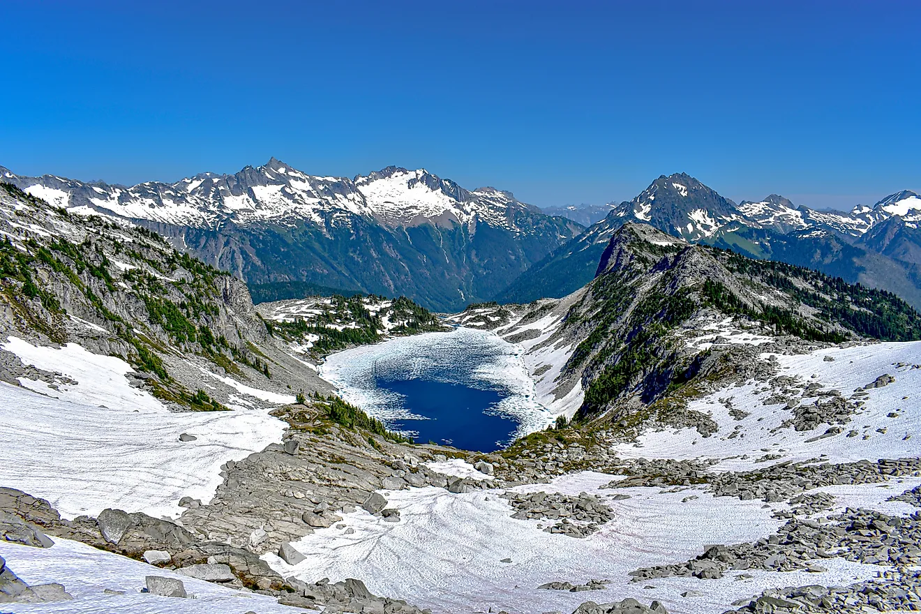
Farther north, nothing about the terrain suggests a furnace. This is Mount Whitney country, where the highest peak in the contiguous United States rises 14,505 feet above sea level. From Badwater Basin to Whitney's summit is only about 85 miles in a straight line, a contrast found nowhere else in the Lower 48. People who think of Inyo County as nothing but desert are often surprised to leave the salt flats behind and, a couple of hours later, find themselves looking up at snowfields.
The county's mining towns come with a different history. High in the Inyo Mountains lies Cerro Gordo, once one of California's richest silver camps. Old-timers liked to say the town averaged "about a murder a week." Whether or not it was true, the story has been passed down for generations. The steep road climbing to the camp became known as the Yellow Road because of the color of the rock it cuts through.
A little farther south, near Olancha, another local story survives. One explanation for the name Dirty Socks Hot Spring is that miners and prospectors once stopped there to bathe and wash their clothes. Another credits the sulfur smell itself, which some say resembles dirty socks. However it got its name, the spring has been known as Dirty Sock, or one of its many variations, for well over a century.
Inyo is home to ranches, small communities, and wide stretches of open country that many tourists never see. It's a county that's just as much about mountain passes, quiet valleys, and old mining roads as it is about record-breaking heat.
Why People Stay
Nobody who lives here spends much time arguing about whether this is the hottest county in America. That's already settled. They argue about how hot it's going to get, if it'll cool off enough after sundown to sit on the porch, and if the forecast is lying this time. Usually, it isn't.
People often wonder why anyone would choose to live in a place this hot. The weather is usually the last reason. It's the space, the silence, the dark skies, and the feeling that there's always another canyon, ghost town, or mountain road waiting to be explored. After a while, the heat becomes something you plan around rather than something you think about.