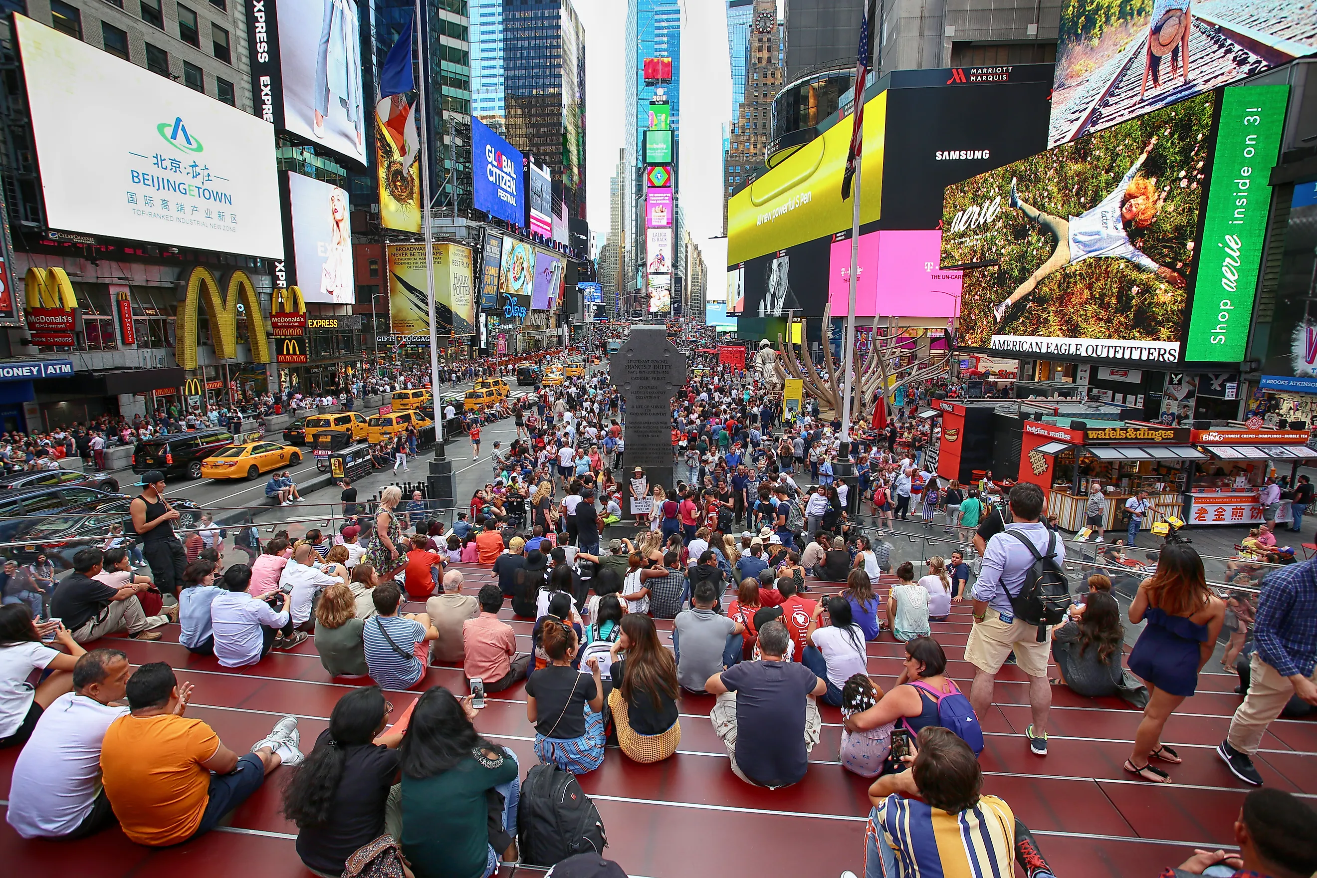
Most Densely Populated US States
According to the United States Census Bureau, America's population (as of July 1st, 2023) sits at 334,914,895. This makes it the third most populated nation on the planet (behind India and China), but curiously, the U.S. ranks 186th in terms of its population density. This stark discrepancy exists because of the sheer size of the United States (total area = 3,532,316 square miles). So, the one large number (population) divided by the large number (area) produces the rather modest population density figure (i.e. ~95 people/square mile). What happens when we apply these same metrics to individual states? Which are the most densely populated? Let's begin with a straightforward list of the top ten and then delve a little deeper into why those stand above the other 40.
The Top Ten Most Densely Populated States
| State | Population | Land Area (sq. mi.) | Density (pop/sq.mi.) |
|---|---|---|---|
| New Jersey | 9,290,841 | 7,354.00 | 1,263.00 |
| Rhode Island | 1,095,962 | 1,034 | 1,060 |
| Massachusetts | 7,001,399 | 7,800 | 898 |
| Connecticut | 3,617,176 | 4,842 | 747 |
| Maryland | 6,180,253 | 9,707 | 637 |
| Delaware | 1,031,890 | 1,949 | 530 |
| Florida | 22,610,726 | 53,625 | 421 |
| New York | 19,571,216 | 47,124 | 415 |
| Pennsylvania | 12,961,683 | 44,743 | 290 |
| Ohio | 11,785,935 | 40,859 | 288 |
Why Are Certain States So Densely-Populated?
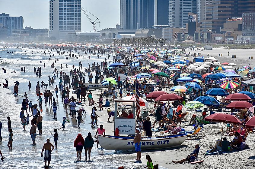
The list of the top ten most densely populated states produces a few expected names but also a handful of surprises. The first thing that stands out is that all ten are located in the eastern United States (almost exclusively the northeast), and all are connected to a significant body of water (i.e., the Atlantic Ocean, the Great Lakes, the Gulf of Mexico, and other major bays and rivers). This makes perfect sense because when modern-day America was colonized, Europeans landed in the east (although the Spaniards also emerged from the south) and then gradually migrated west in search of new domains. A similar trend followed in subsequent centuries when waves of immigrants from a multitude of nations sought a better life in the budding Land of Opportunity. This gave eastern states a serious head start in terms of laying down roots, establishing economic centers, and building trade momentum with their native continent.
A scan of a typical classroom map also clearly shows that the eastern states tend to be much smaller than those in the central and western regions. This incorrigibly influences the population density equation. With that said, population growth has picked up a lot of steam in the West, most notably California, but it will still be sometime before the top ten is significantly shuffled. Let's look a little closer at each of the most densely populated states.
New Jersey
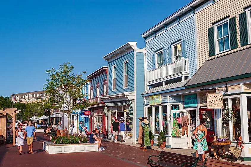
Situated just south of New York City, with a long and attractive Atlantic Coastline known as the "Jersey Shore," New Jersey is a fine and pragmatic state to call home. In terms of the raw math, the equation is simple: The Garden State is the 11th most populous in the U.S. (9,290,841) but ranks 46th in terms of land area (7,354 sq. mi.), and so its population density amounts to a rather cramped 1,263.2 people/square mile. It should also be noted that New Jersey was the third state to be ratified (on December 18th, 1787) by the budding Union, giving it a federally-supported jumpstart on serious development.
Rhode Island

Rhode Island's first European settlement took place back in 1636 in Providence (i.e., the current capital), which connects to the Atlantic and intermediary bays/islands via the Providence River. Though only a little over one million people reside here, with a land area of just 1,034 square miles, Rhode Island is the smallest state in America - thereby resulting in a population density of 1,060 people/square mile. Interestingly, The Ocean State is the only other state to break the 1,000 pop/sq. mi. barrier. From here, the figures begin to drop steadily.
Massachusetts
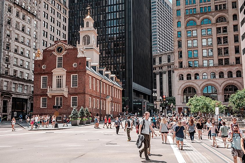
Another New England state to make the population density podium is Massachusetts. As the regional name suggests, this part of the northeastern United States was one of the earliest permanent English settlements in America. In fact, the Pilgrims aboard the Mayflower only trailed Virginia's Jamestown Settlement when they established the Plymouth Colony, whose capital was that of Plymouth, Massachusetts. A significant chunk of The Bay State's seven-million population resides in Greater Boston. With a land area of 7,800 square miles, Massachusetts has settled on a population density of 898 (people/sq. mi.).
Connecticut

Like Rhode Island and Massachusetts, Connecticut also falls under the New England banner. Early settlement and continued development make perfect sense, given the entirety of Connecticut's southern border is along Long Island Sound and Block Island Sound. This prime location allows easy access to New York City and a straight-shot journey across the North Atlantic to/from England. The Constitution State has a population of roughly 3,617,176 and a modest land area of 4,842, resulting in a population density of 747 pop./sq. mi.
Maryland
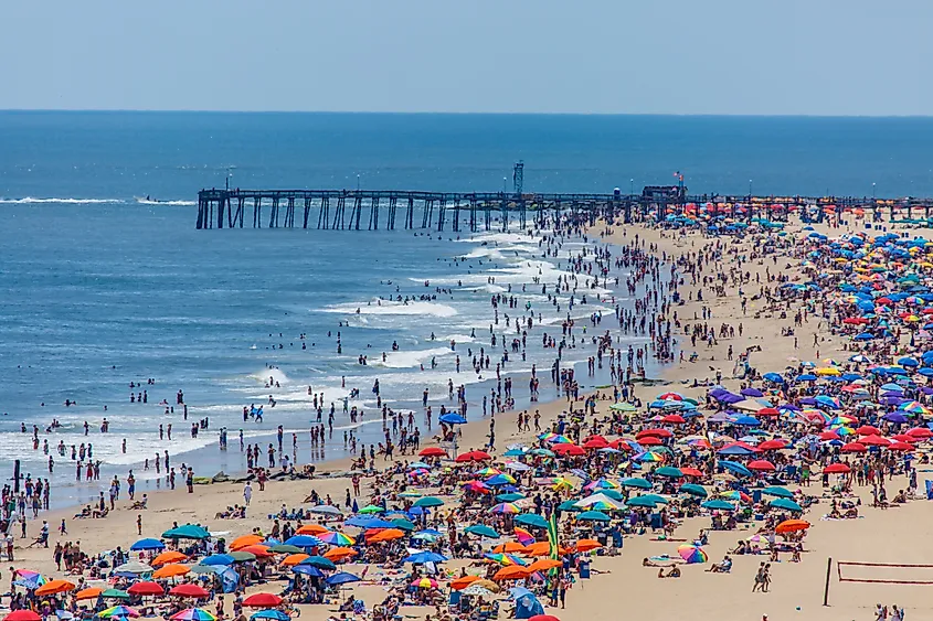
This Mid-Atlantic state is largely based around Chesapeake Bay, which extends considerably inland from the Atlantic Ocean. The western border of Maryland also cradles Washington, D.C. - the most densely populated region in the entire United States (it would top this list if not for the fact that the District of Columbia is not a state). Another major epicenter of The Old Line State is Baltimore (where the national anthem was created). Maryland has a population of 6,180,253 and a land area of 9,707, resulting in a considerable population density of 637.
Delaware

The First State is another densely-populated entity in the Mid-Atlantic, sandwiched between Maryland and New Jersey, as well as the Chesapeake Bay and Delaware Bay, the latter of which flows into the Delaware River. Delaware is the oldest official state (which ratified the Constitution on December 7th, 1878) (hence the nickname), the second-smallest (1,949 square miles), and with a population that just sneaks above one million (1,031,890), the sixth densest state in the country (529 pop./sq. mi.).
Florida

Florida is the sole state in the top ten to sit outside of the northeast. However, The Sunshine State has a massive coastline that spans the Gulf of Mexico (to the west) and the Atlantic Ocean (to the east), as well as its proximity to the Caribbean and Latin America (much of which was colonized prior to the modern-day United States). St. Augustine (founded by the Spaniards in 1565) is the oldest continuously inhabited European city in the country. However, the action didn't just take place during America's prelude; Florida continues to receive large influxes of immigrants (predominantly from Cuba), ranking it fourth in the nation for the share of foreign-born residents. Florida has a fairly high total land area (53,625 sq. mi.) but also the highest population on this list (22,610,726), resulting in a density of 421.4 people/sq. mi.
New York
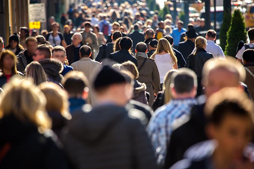
New York is another long-standing haven for immigrants. For centuries, The Empire State was the major landing point for a smorgasbord of cultures, and along with California, New Jersey, Texas, and Florida, continues to welcome large influxes of new Americans. New York benefits from its position on the Atlantic Coast, the Hudson River, and the shores of both Lake Erie and Lake Ontario. Seeing as New York City is the most populous metropolis in the entire United States, it would be easy to assume that the state would rank higher on this list. But it is also easy to forget just how wide-reaching Upstate New York truly is. So, while the southern sliver is incredibly packed with people, the rest of New York is actually quite spacious. All in all, its average population density works out to be 415.3 people per square mile.
Pennsylvania

Pennsylvania is unique in that it is the most landlocked state on this list (though not entirely). The one exception is the northwestern geographical chimney that connects to the northeast shore of Lake Erie (with Erie being the most substantial city along this brief coastline), thereby giving it water-bound access to Ohio, Michigan, southern Ontario, Quebec, the Atlantic Provinces, and ultimately, the Atlantic via the Great Lakes, St. Lawrence River, and the Gulf of St. Lawrence. Pennsylvania's land borders are also met by several of the other most densely populated states in the country: New York, New Jersey, Delaware, Maryland, and Ohio (coming up next) - so it makes sense that the trend would continue into The Keystone State. The suburbs of Philadelphia, in particular, are responsible for growing (or, as of late, simply sustaining) the state's population. As of the most recent estimates, Pennsylvania has a population of 12,961,683, which, when divided by its land area of 44,743 sq. mi., produces a population density of 290 pop./sq. mi.
Ohio
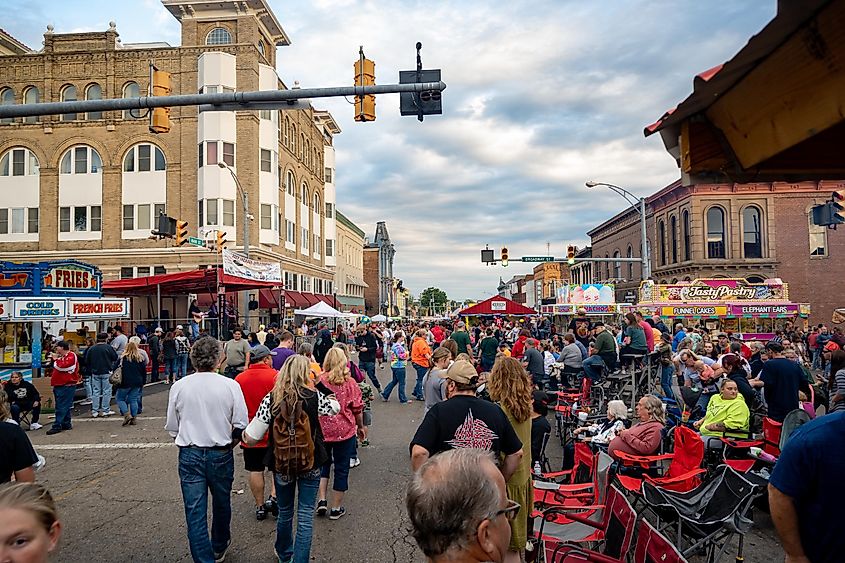
Ohio is the most westward state in the top ten most densely-populated states. Its abundant access to Lake Erie, fertile farmlands, substantial highway system, and relatively approachable cost of living have had and continue to have a positive impact on its population status. Currently, The Buckeye State is home to 11,785,935 people. With a moderate land area of 40,859, this gives us a population density of 288 (just a touch behind its neighbor to the east, Pennsylvania). The state capital, Columbus, is by far the largest and fastest growing of Ohio's major cities, but Cleveland, Cincinnati, Toledo, Akron, and Dayton are all well-known hubs that do their part to keep the trend on track.
From one person per square mile (in Alaska) to over a thousand (in New Jersey and Rhode Island), the various states exhibit vastly different population densities. Sometimes, this is because of large population centers, such as The Big Apple, and sometimes, a small land area tightly condenses otherwise modest populations (Delaware, I'm looking at you). America is a diverse nation in many ways, and population density is just another variable to consider when visiting or relocating to one of its 50 personalities. If you like mixing and mingling with people, then these ten states are tailor-made for you. If not, you might want to aim for the prairies of Middle America, the tumbleweed towns in the south, or the old logging communities on the Pacific Coast.
