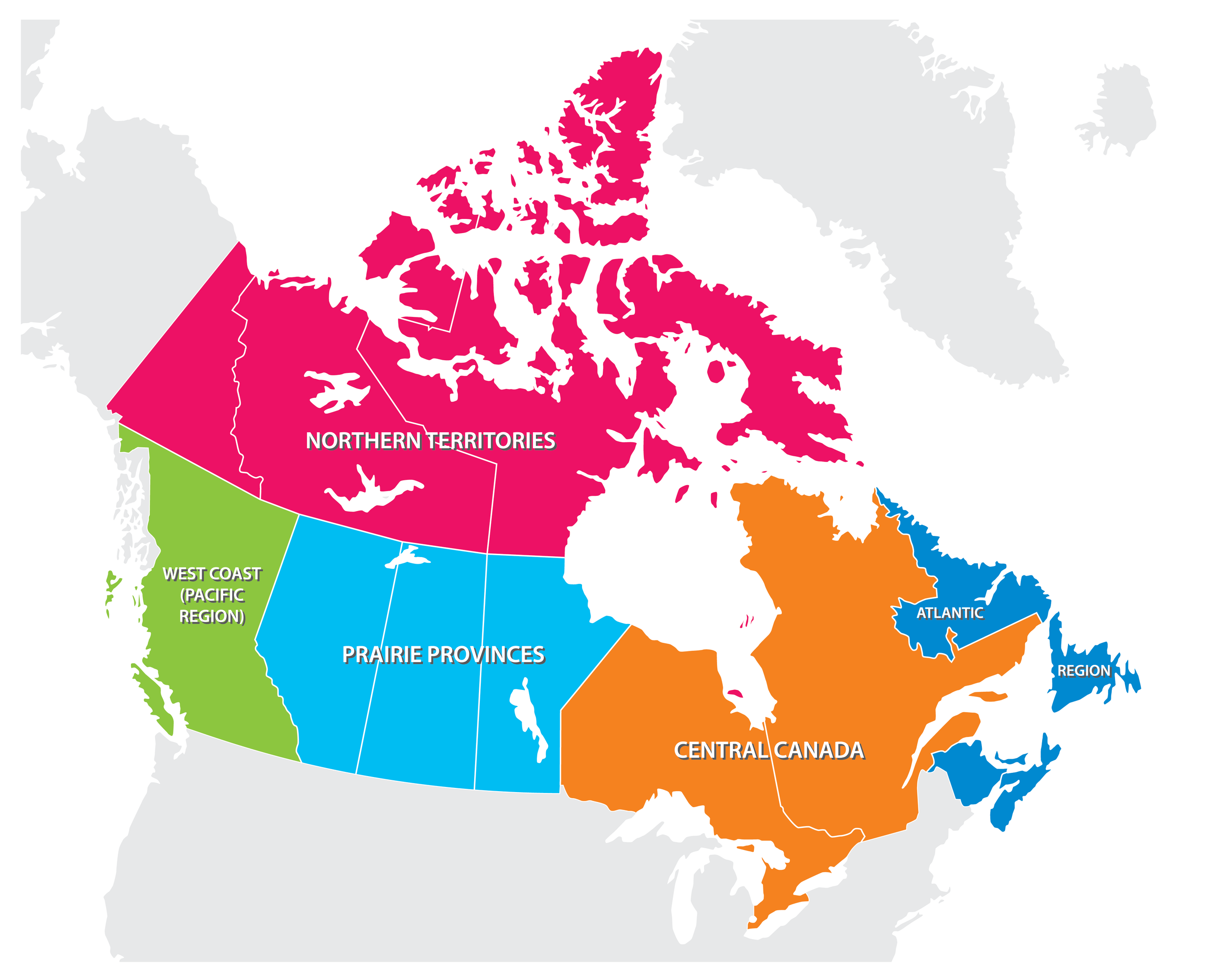
The 5 Regions Of Canada
- Canada is the second largest country in the world.
- Canada is made up of five geographic regions, the Atlantic Provinces, Central Canada, the Prairies, the West Coast, and the Northern Territories.
- The Northern Territories are the most severely affected by global warming.
Canada is the second biggest country in the world, measuring about ten million square kilometers. The country stretches from the Atlantic Ocean all the way to the Pacific Ocean, and from the northern border of the continental United States in the south, all the way to the Arctic Ocean in the far north. This huge country can be divided into 5 distinct regions. These are:
The 5 Regions of Canada
Canada’s Capital
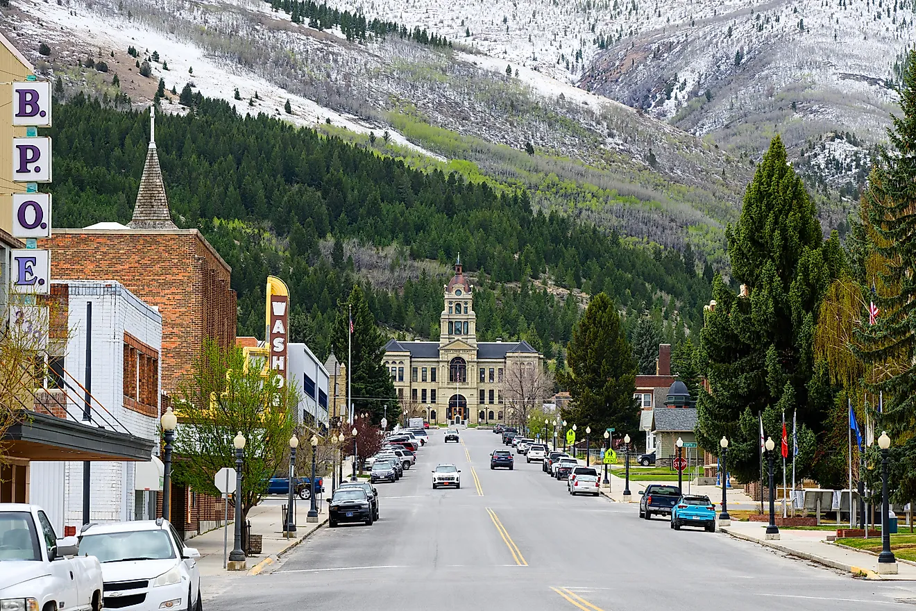
The capital of Canada is Ottawa, a city located on the Ottawa River in Central Canada, in the Province of Ontario. It is in Ottawa where you will find Canada’s Parliament, Supreme Court and the Prime Minister’s residence, among other government-related sites. One other major attraction in Canada’s capital is the Rideau Canal, which runs through the city. During the winter, when the canal freezes, many people enjoy skating on it.
Provinces And Territories
Like the U.S., Canada is a federal state. It is composed of ten provinces and three territories, each of which have their own capital city. The Atlantic Provinces consist of Newfoundland and Labrador, New Brunswick, Nova Scotia, and Prince Edward Island. Central Canada includes the provinces of Quebec and Ontario. The three Prairie Provinces are Manitoba, Saskatchewan, and Alberta. Canada’s West Coast region is the Province of British Columbia. The Yukon Territory, the Northwest Territories, and Nunavut make up Canada’s Northern Territories.
Population
Although Canada is a very large, its population is relatively small compared to other large countries. Canada is home to about 34 million people, most of whom live in cities. There is still, however, a sizeable population in Canada that lives in smaller towns and rural areas.
The people of Canada are incredibly diverse. If you travel the vast territory of the Great White North, chances are that you will find Canadians of every race, religion, culture and creed.
Much of Canada’s population consists of people of European descent, especially the descendants of British and French colonial settlers.
The most recent additions to Canada’s population have been people of non-European backgrounds. In the last fifty years, Canada has welcomed millions of immigrants from all over the world, including Asia, Africa, Latin America, and the Caribbean.
Canada is also home to many aboriginal peoples, including the Mi’kmaq of the Atlantic Provinces, the Iroquois of Central Canada, the Plains Cree of the Prairie Provinces, the Haida of British Columbia, and the Inuit of Canada’s Northern Territories.
The people of Canada share a wide variety of religious beliefs. Among aboriginal Canadians, some traditional religions are still practiced. As for Canada’s non-indigenous population, you will find people practicing all of the world’s major religions. Different denominations of Christianity account for a large part of Canada’s population, but there are also sizeable communities of Muslims, Jews, Hindus, and Sikhs, especially in large cities.
Recently, Canada’s federal government announced plans to welcome up to 1.2 million new immigrants in the next three years, which means that country’s population will probably become even more diverse than it already is.
Atlantic Provinces

There are four Atlantic Provinces: Newfoundland and Labrador, New Brunswick, Prince Edward Island, and Nova Scotia.
Newfoundland and Labrador
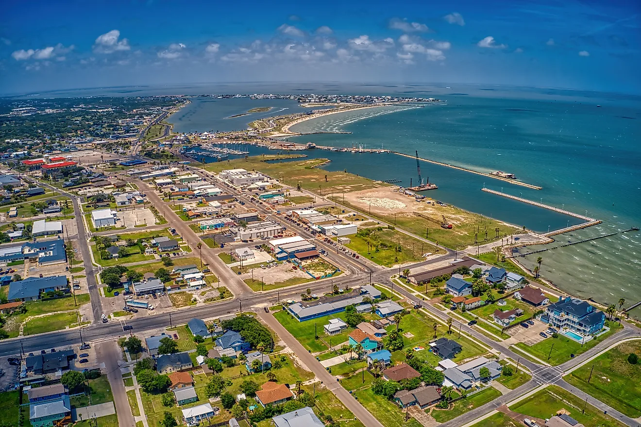
This was the last province to join the Canadian Confederation, in 1949. As its name implies, The Province of Newfoundland and Labrador consists of two parts. Labrador lies in mainland Canada, and just off its coast is the island of Newfoundland. The province is famous for its fisheries and quaint coastal towns. The Atlantic Ocean’s different currents make for cold winters and cool summers. On many occasions, the ocean currents combine to create dense fog, which is a common sight on the coast of Newfoundland. By the late 20th century, declining fishing stocks forced the province to invest in other industries, including mineral extraction and tourism.
Prince Edward Island
Prince Edward Island, or PEI for short, is Canada’s smallest province. The province is the birthplace of Canada’s Confederation in 1867, though it did not become a province itself until 1873. As its name implies, PEI is an island, originally called Abegweit by the indigenous Mi’kmaq people. Like the other Atlantic Provinces, PEI has a climate that is greatly influenced by the Atlantic Ocean, the currents of which often lead to a delay in the arrival of the different seasons when compared to the rest of Canada. As in other Atlantic Provinces, fishing has historically been an important industry in PEI, but agriculture is also important. The island province is famous for its fertile red soil, and its farmers grow some of the best potatoes you’ll ever eat.
Nova Scotia
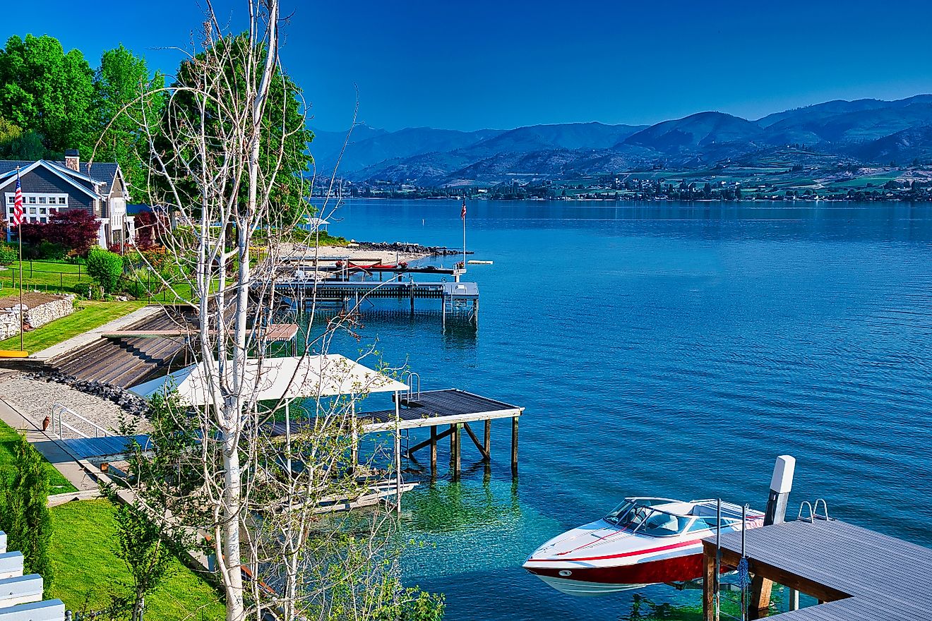
Nova Scotia lies on Canada’s east coast. It is bordered to the east, south, and west by the Atlantic Ocean, and to the north by the Province of New Brunswick. The climate conditions on the coast make for warmer winters and cooler summers. Further inland, winters are slightly colder and summers slightly warmer. Because Nova Scotia is located on the Atlantic Ocean, fishing and shipbuilding have historically been two of the province’s leading industries. Today, however, the economy is much more diversified. The most recent industry in the province to see significant growth is the extraction of offshore oil and gas.
New Brunswick
Located on the Acadian Peninsula, south of the Province of Quebec, New Brunswick is Canada’s only officially bilingual province, as English and French are both official languages there. The province boasts a temperate climate in which winters are cold and summers are moderately warm. As with most other Canadian provinces, New Brunswick has a largely resource-based economy, though it has a growing service sector, as well as a small manufacturing sector.
Central Canada

The Provinces of Quebec and Ontario make up what is commonly called Central Canada.
Quebec
Nicknamed La Belle Province (the beautiful province) in French, Quebec is the second most populated province in Canada. It is also the largest Canadian province by land area, which means that its climate can vary greatly depending on where you are in the province. Whereas southern Quebec normally sees very cold winters and moderate to very warm summers, the extreme north of the province will normally experience extremely cold winters and cool summers. As Canada’s second most populous province, Quebec is also home to much of Canada’s economic activity. The province is Canada’s leading source of pulp and paper. It also produces a lot of hydroelectricity since it has an abundant supply of fresh water. Other key industries include aeronautics, pharmaceuticals, agriculture, forestry, mining, and filmmaking.
Ontario
Ontario is Canada’s most populous province. Like Quebec, Ontario is vast in area, stretching from the border with the United States in the south, all the way to Hudson Bay in the north, making climate conditions very different based on where in the province you are. Winters are much colder in the north and summers much warmer in the south. Ontario is home to much of Canada’s economic activity. It not only hosts Canada’s commercial capital, Toronto, but several other large cities. Ontario also hosts a wide variety of industries, from those dedicated to harnessing the province’s vast natural resources, to manufacturing, service, and high-tech industries. Much of Canada’s automobile manufacturing takes place in southern Ontario.
The Prairie Provinces

Manitoba, Saskatchewan, and Alberta make up the Prairie Provinces region of Canada. The economies of these three provinces are largely based on the exploitation of their natural resources. The topography of the Prairie Provinces is very flat, except for a section of Alberta, which features part of the Rocky Mountains. The climate of the Prairie Provinces features very cold winters and very hot, dry summers.
Manitoba
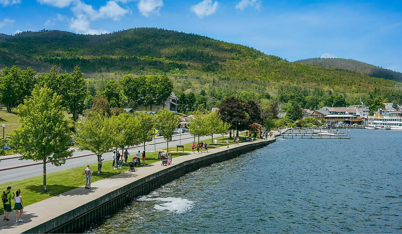
Manitoba is the eastern-most of the Prairie Provinces. The geography of the province includes around one hundred thousand lakes, the largest of which is Lake Winnipeg, one of the biggest inland bodies of fresh water in the world. The province is a very large exporter of grain products, including wheat, canola, oats, barley, and rye. With its many waterways, Manitoba can also generate a large amount of hydroelectricity. The mining and manufacturing sectors are also important economic drivers in Manitoba.
Saskatchewan
Like Manitoba, Saskatchewan is a very significant grain exporter. In fact, the province has been nicknamed both the “breadbasket of the world” and the “wheat province”. About forty percent of Canada’s arable land is located in Saskatchewan. Mining extraction is also a key sector in Saskatchewan as the province contains large deposits of uranium and potash. Lately, Saskatchewan has also developed a high-tech sector, located mostly in Saskatoon, the province’s largest city.
Alberta
Alberta is the most populous of the Prairie Provinces and arguably the most scenic. The Rocky Mountains, in which lies Lake Louise, as well Banff National Park, are among the province’s major natural attractions. Alberta is well-known as being a lead producer and exporter of beef products. It is also a large producer of oil and gas, especially from the oil sands located in the north of the province.
The West Coast

Canada’s West Coast region consists of just one province, British Columbia, which is often called Canada’s Pacific gateway.
British Columbia
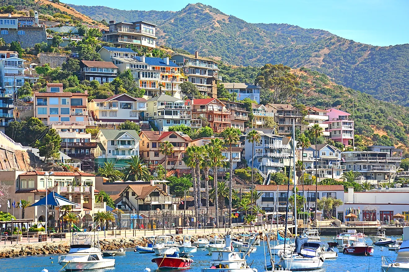
British Columbia is Canada’s western-most province. It can arguably be described as a nature-lover’s paradise, as it includes part of the Rocky Mountains and some of Canada’s most beautiful forests. Because of British Columbia’s geography, including its proximity to the Pacific Ocean, the province can experience several types of climate patterns. On the coast, the climate is mostly temperate year-round. In contrast, the province’s interior often experiences colder winters and hotter summers. British Columbia also receives a significant amount of precipitation, especially on the coast. The province’s leading industry is forestry. In fact, about half of the products produced in the province are forestry-related.
The Northern Territories

The Northern Territories are home to Canada’s coldest and harshest weather, which is why they are so sparsely populated. Only about 100,000 people live in the Northern Territories, which consist of the Yukon Territory, the Northwest Territories, and Nunavut.
Today, the Northern Territories are severely affected by global warming, which is causing milder conditions, and perhaps most importantly, melting ice, which endangers the hunting and migratory patterns of certain animals and makes it harder for the indigenous population to maintain traditional lifestyles. Life in Canada’s Northern Territories is also made harder by the high cost of living. Almost everything that people in the Northern Territories consume must be imported from the south, and due to limited transportation infrastructure and the remoteness of many northern communities, it is very costly to transport goods to the area.
Yukon Territory
A gold rush in the 1890s brought throngs of people to the Yukon. Today, mining still plays an important role in the Yukon economy, as does a rapidly expanding tourism industry. The Yukon is home to Canada’s tallest mountain, Mt. Logan. It is also where Canada’s coldest temperature has been recorded, at a chilly -63 degrees Celsius.
Northwest Territories
The Northwest Territories is where you will find the Mackenzie River, which is the second-biggest river system in North America. The extraction of natural resources and the service sector are the main drivers of the economy in the Northwest Territories. More than half of the population in the Northwest Territories is aboriginal, and consists mainly of people from the Dene, Inuit, and Metis nations.
Nunavut
In the Inuit language of Inuktitut, Nunavut literally means “our land”. Formerly part of the Northwest Territories, Nunavut was created in 1999. The territory, in which the overwhelming majority of people are Inuit, contains some of Canada’s most remote communities. Like the other Northern Territories, Nunavut’s economy is heavily dependent on its natural resources, which include precious metals, diamonds, petroleum, and natural gas.
The 5 Regions Of Canada
| Rank | Region | Province/Territory | Capital City |
|---|---|---|---|
| 1 | Atlantic region | Newfoundland and Labrador,Prince Edward Island,Nova Scotia,New Brunswick, | St. John’s,Charlottetown,Halifax,Fredericton |
| 2 | Central Canada | Quebec,Ontario | Québec City,Toronto |
| 3 | Prairie Provinces | Manitoba,Saskatchewan,Alberta, | Winnipeg, Regina,Edmonton |
| 4 | West Coast | British Columbia | Victoria |
| 5 | North | Nunavut Northwest Territories,Yukon Territory, | Iqaluit Yellowknife,Whitehorse |