Great Lakes Region
The Great Lakes region, a vast expanse of interconnected freshwater lakes in North America, owes its name to indigenous tribes and French explorers like Samuel de Champlain, who called several of the lakes "great" or "grand." Regarding location, the Great Lakes region spans parts of eight US states (Illinois, Indiana, Michigan, Minnesota, New York, Ohio, Pennsylvania, and Wisconsin) and the Canadian province of Ontario. Those who acknowledge the extensive watershed of the St. Lawrence River include Quebec in the region. The sheer scale of the area carries palpable diversity in the categories of geography, history, and tourist destinations like Niagara Falls.
Geography

The Great Lakes region encompasses a vast area in North America, stretching across parts of the United States and Canada. It comprises five interconnected freshwater lakes: Lake Superior, Lake Michigan, Lake Huron, Lake Erie, and Lake Ontario, collectively forming the largest group of freshwater lakes on Earth by total surface area.
Lake Superior, the northernmost and largest of the five, spans an area of 31,700 square miles. Its eastern end connects to Lake Huron via the St. Marys River, which houses the Soo Locks, a key navigation system for the region. Lake Michigan, the only Great Lake entirely within the United States, boasts a surface area of 22,404 square miles. Lake Huron, with an area of 23,007 square miles, connects to Lake Erie through the St. Clair River, Lake St. Clair, and the Detroit River. Lake Erie, the smallest and shallowest of the lakes, covers 9,910 square miles, while Lake Ontario, the easternmost lake, has a surface area of 7,340 square miles. Lake Erie and Lake Ontario link via the Niagara River, where Niagara falls is located.

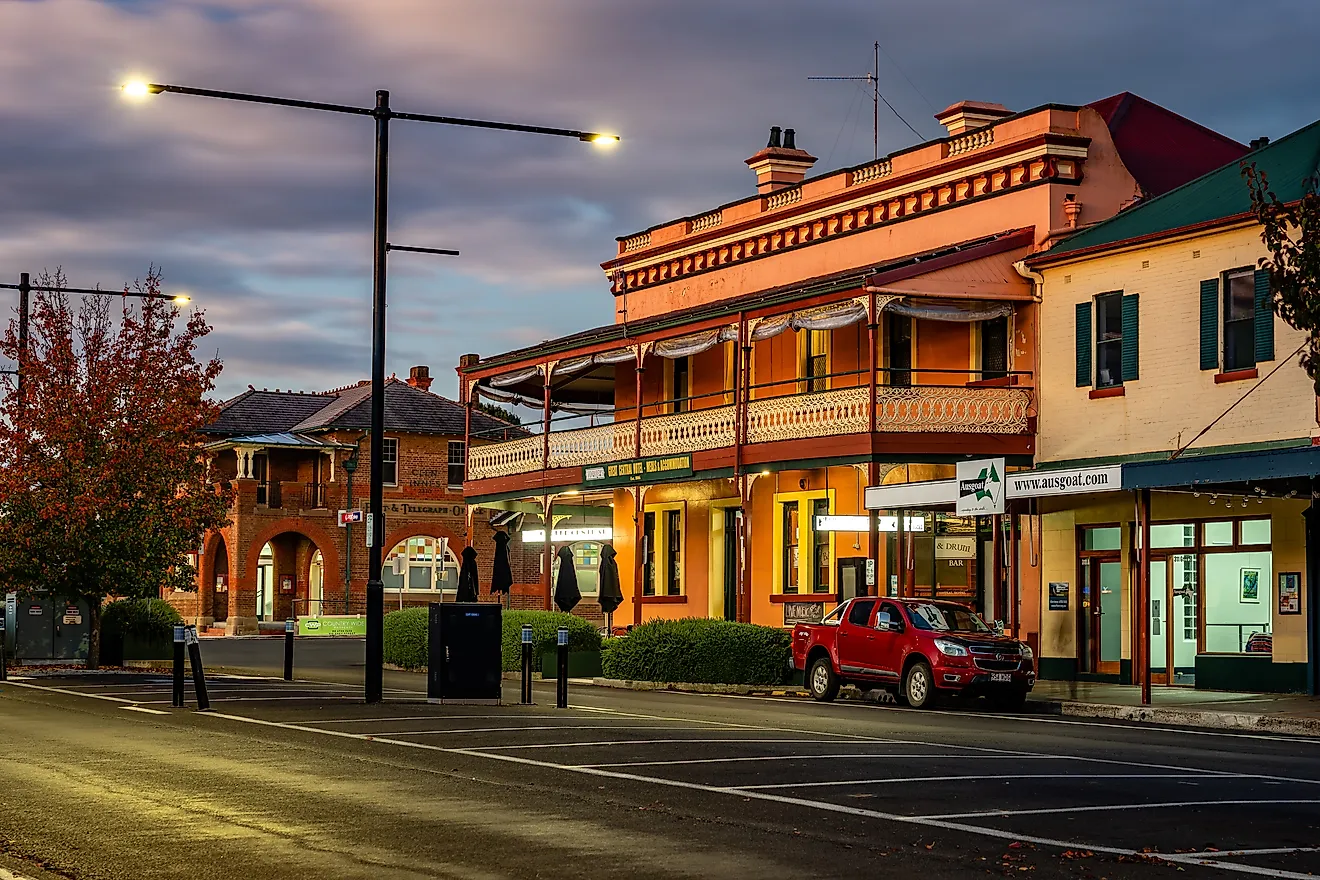
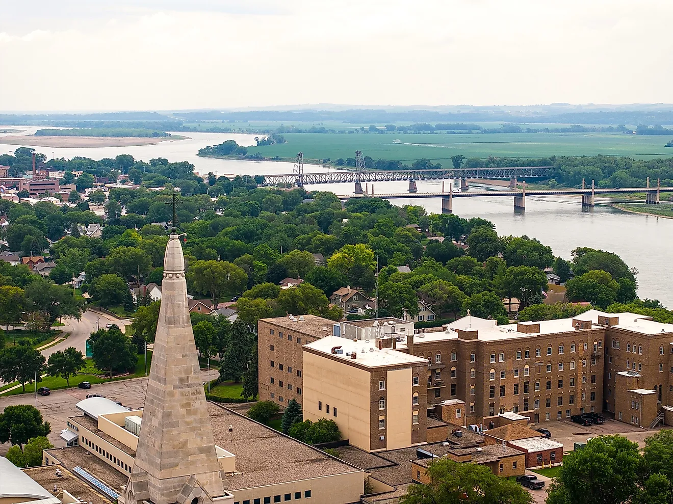
The Great Lakes region also includes the Great Lakes Basin, which extends beyond the immediate shoreline. This area boasts a diverse landscape, with many hills, dense forests, and fertile farmland, and it is home to numerous cities and metropolitan areas, including Chicago, Detroit, Toronto, and Cleveland.
The Great Lakes provide a valuable source of fresh water, supporting agriculture, industry, and human populations in the surrounding areas. Additionally, they play a critical role in transportation, with the Great Lakes-St. Lawrence Seaway System allowing for efficient shipping between North America and international markets.
History

The history of the Great Lakes region traces back thousands of years, with indigenous peoples inhabiting the area long before European arrival. Prominent Native American tribes included the Anishinaabe, Haudenosaunee, Huron-Wendat, and Potawatomi, who relied on the abundant natural resources provided by the lakes for sustenance, transportation, and trade.
European exploration of the region began in the early 17th century, with French explorer Samuel de Champlain venturing into Lake Huron in 1615. Throughout the 1600s and 1700s, French and British fur traders, missionaries, and settlers established a presence in the region, leading to cultural exchanges and conflict with the Indigenous peoples.
Following the American Revolution, the Great Lakes region became a focal point of westward expansion for the newly formed United States. The Northwest Ordinance of 1787 established a plan for the creation of new states in the region, resulting in the eventual formation of Illinois, Indiana, Michigan, Minnesota, Ohio, and Wisconsin. During this time, the region experienced rapid growth in population and industry, fueled in part by the construction of the Erie Canal in 1825, which connected the Great Lakes to the Atlantic Ocean.
The 19th and 20th centuries saw the continued development of the region's infrastructure, with the opening of the Welland Canal in 1829, bypassing Niagara Falls, and the completion of the St. Lawrence Seaway in 1959, creating a navigable waterway from the Great Lakes to the Atlantic. As a result, the region became an industrial powerhouse, with cities like Detroit, Cleveland, and Chicago emerging as major manufacturing centers. While the latter half of the 20th century saw economic challenges (which have resulted in turmoil in cities like Detroit), the Great Lakes region remains economically active.
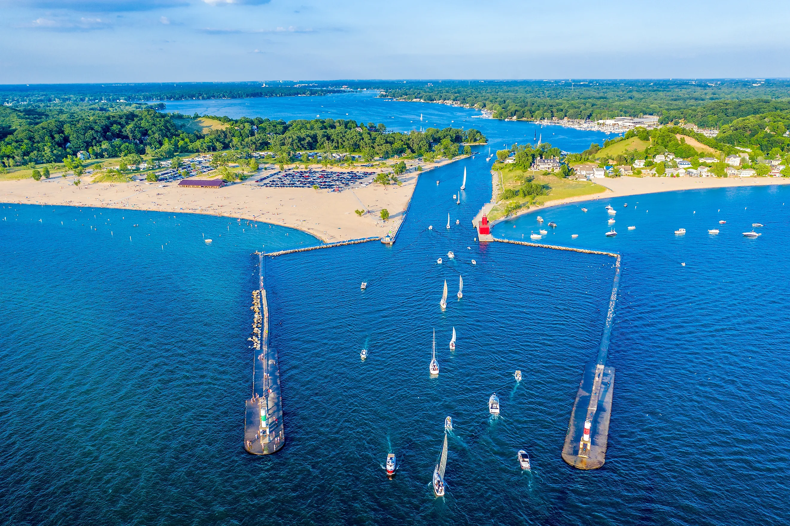
Popular Locations
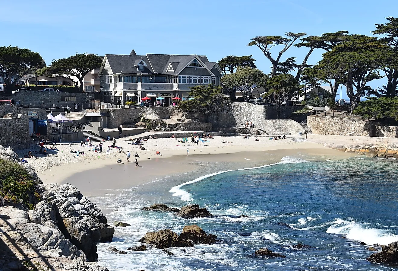
The region possesses around 10,000 miles of shoreline, allowing many opportunities for travel and recreation.
Niagara Falls

Niagara Falls, a breathtaking natural wonder, straddles the border between the United States and Canada within the Great Lakes region. Consisting of three separate waterfalls—Horseshoe Falls, American Falls, and Bridal Veil Falls—Niagara Falls boasts a combined drop of more than 160 ft and an impressive flow rate of over 85,000 cu ft/s. Horseshoe Falls, the largest and most visually stunning, lies predominantly on the Canadian side, while the American and Bridal Veil Falls reside within the United States. Tourists can appreciate the falls from various vantage points, including observation towers and trails on both sides of the border. Additionally, boat tours like the famous Maid of the Mist in the United States and Hornblower Niagara Cruises in Canada offer close-up experiences of the falls' powerful cascades.
Mackinac Island

Mackinac Island, situated in Lake Huron between Michigan's Upper and Lower Peninsulas, offers a charming, car-free retreat in the Great Lakes region. The island, spanning just 4.35 square miles, preserves a unique atmosphere with its Victorian architecture, horse-drawn carriages, and quaint shops. A prominent attraction, Fort Mackinac, dates back to 1780 and provides insight into the island's military history through interactive exhibits and live demonstrations. The island's natural beauty also captivates visitors, with more than 70 miles of hiking and biking trails, including those in Mackinac Island State Park. Additionally, the striking limestone formations Arch Rock and Sugar Loaf present fascinating geological features to explore. Accommodations on the island range from historic hotels, such as the Grand Hotel, to cozy bed and breakfasts, ensuring a pleasant stay for visitors.
Sleeping Bear Dunes National Lakeshore

Sleeping Bear Dunes National Lakeshore, located along the eastern shore of Lake Michigan in the state of Michigan, features over 65 miles of pristine shoreline, towering sand dunes, lush forests, and diverse wildlife. Established in 1970, the park covers 71,199 acres and showcases the region's remarkable glacial and dune formations. Among the must-see sites within the park are the Dune Climb, a massive sand dune offering panoramic views of Glen Lake, and the scenic Pierce Stocking Drive, a 7.4-mile loop granting access to various overlooks and trailheads. The park also includes two offshore islands, North and South Manitou Islands, which contain additional hiking trails and historic sites, such as lighthouses and shipwrecks. With opportunities for hiking, swimming, and wildlife observation, Sleeping Bear Dunes National Lakeshore offers an exceptional outdoor experience.
Pictured Rocks National Lakeshore

Pictured Rocks National Lakeshore, situated on the southern shore of Lake Superior in Michigan's Upper Peninsula, spans over 42 miles of dramatic shoreline characterized by colorful sandstone cliffs, pristine beaches, and cascading waterfalls. Established in 1966, the park encompasses an area of 301 square kilometers and offers a diverse range of recreational activities. Hiking enthusiasts can explore more than 100 miles of trails, including the popular Chapel Loop and the North Country Trail. For those interested in water-based adventures, kayaking provides an intimate view of the area's iconic sandstone cliffs, while boat tours offer a more leisurely perspective. The park's cliffs, adorned with vibrant mineral stains, give Pictured Rocks its name, and formations such as Miners Castle and Chapel Rock stand as stunning geological highlights. Whether hiking, paddling, or simply enjoying the views, visitors to Pictured Rocks National Lakeshore will be captivated by its natural
The Great Lakes region has held a tight grip on the historical, geographical, and cultural tapestries of the United States and Canada to this day. Moreover, the indigenous Americans who settled in North America before the Europeans arrived were undoubtedly the first to explore and name the area. It is significant that their descendants possess deep ties that cannot be brushed aside. Economically, as industry exploits the lakes for natural resources and commercial shipping, they play a vital role in the livelihoods of millions of people. Therefore, it is in the best interest of all involved to cherish and preserve this region in order to bestow it as a gift for future generations.