Maps of Kentucky

Kentucky, also known as the Blue Grass State, is located in the southern United States. Indiana and Ohio border it to the north, West Virginia to the northeast, Virginia to the east, Tennessee to the south, Missouri to the west, and Illinois to the northwest.
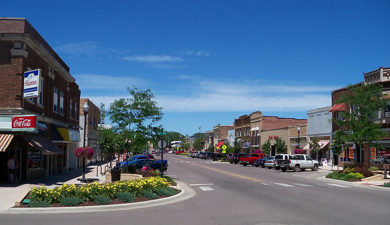
Kentucky's capital, Frankfort, is in the northern part of the state, while the largest city, Louisville, located in the north, has a metropolitan population of about 1.4 million people.
Before Europeans arrived on the land that makes up Kentucky today, it was inhabited by native agricultural and hunting groups. Spanish and French explorers arrived in the territory in the 17th century. The United States later admitted it as the 15th state to the Union in 1792.
Area
Kentucky has a total area of 40,408 square miles (104,656 square kilometers), making it the 37th largest US state. It is about four times smaller than California and three times larger than Maryland. Compared to other countries, it is roughly the same size as South Korea and three times smaller than Poland.
Bodies of Water
Kentucky has approximately 49,105 miles of river, some of the most notable rivers including the Ohio River, which forms Kentucky’s northern border; the Mississippi River, which forms its western border and plays an important role in transportation and commerce; and the Kentucky River, which generally flows from southeast Kentucky up to the northwest, passing through Frankfort. The state’s largest lake is Kentucky Lake, located in the west, spanning 160,309 acres.
Geographical Regions
Kentucky consists of six physical regions: The Mountain Region, Knobs Region, Bluegrass Region, Pennyroyal Region, Western Coalfield Region, and the Jackson Purchase.
The Mountain Region
In Kentucky’s far east lies the Mountain Region, consisting of a portion of the Appalachian Mountains. High ridges, narrow valleys, and forests span throughout. The Eastern Kentucky Coal Field is in this area as well, featuring 10,500 square miles (27,195 square kilometers) of coal under the land.
Knobs Region
West of the Mountain Region lies the arc-shaped Knobs Region, characterized by monadnocks—knob-shaped hills formed through erosion. The Daniel Boone National Forest is also in this area.
Bluegrass Region
The Bluegrass Region is in the middle of the Knobs region, named after the blue-green grass that covers the land. It features hills, springs, caves, and sinkholes formed from the erosion of the land’s limestone.
Pennyroyal Region
The Pennyroyal Region, also spelled as Pennyrile, is located in the central-western part of Kentucky and features a rocky terrain with many lakes, trees, and caves. It is named after the Pennyroyal plant, a type of mint, that grows in the area. Mammoth Cave, one of the world’s longest caves, is in this region.
Western Coalfield Region
The Western Coalfield Region is surrounded by the Pennyroyal Region and features a hilly landscape located on top of 4,680 square miles (12,121 square kilometers) of coal. John James Audubon State Park is one of the notable natural parks in the area.
The Jackson Purchase
Farthest west is the Jackson Purchase, added to the state in 1818, and is a lowland covered by swamps, ponds, and lakes.
Counties Map

The State of Kentucky is divided into 120 counties. In alphabetical order, these counties are: Adair, Allen, Anderson, Ballard, Barren, Bath, Bell, Boone, Bourbon, Boyd, Boyle, Bracken, Breathitt, Breckinridge, Bullitt, Butler, Caldwell, Calloway, Campbell, Carlisle, Carroll, Carter, Casey, Christian, Clark, Clay, Clinton, Crittenden, Cumberland, Daviess, Edmonson, Elliott, Estill, Fayette, Fleming, Floyd, Franklin, Fulton, Gallatin, Garrard, Grant, Graves, Grayson, Green, Greenup, Hancock, Hardin, Harlan, Harrison, Hart, Henderson, Henry, Hickman, Hopkins, Jackson, Jefferson, Jessamine, Johnson, Kenton, Knott, Knox, Larue, Laurel, Lawrence, Lee, Leslie, Letcher, Lewis, Lincoln, Livingston, Logan, Lyon, Madison, Magoffin, Marion, Marshall, Martin, Mason, McCracken, McCreary, McLean, Meade, Menifee, Mercer, Metcalfe, Monroe, Montgomery, Morgan, Muhlenberg, Nelson, Nicholas, Ohio, Oldham, Owen, Owsley, Pendleton, Perry, Pike, Powell, Pulaski, Robertson, Rockcastle, Rowan, Russell, Scott, Shelby, Simpson, Spencer, Taylor, Todd, Trigg, Trimble, Union, Warren, Washington, Wayne, Webster, Whitley, Wolfe, and Woodford.
With an area of 104,656 sq. km, Kentucky is the 37th largest and the 26th most populous state in the USA. Located along the Kentucky River is Frankfort – the capital city of Kentucky. It serves as the major trading center of the state’s Bluegrass region. Situated in the southeastern part of the state is Louisville – the largest city of Kentucky and also the 29th most populous city in the USA. It serves as the principal regional manufacturing center and hosts several companies and organizations of various industries. Louisville is the state’s chief industrial city that also supports a thriving shipping industry.
Where is Kentucky?

The State of Kentucky is located in the East-South-Central region of the Southern United States. The landlocked state of Kentucky is bordered by the states of Virginia in the east; by West Virginia in the northeast; by Tennessee in the south; by Missouri in the west; by Illinois in the northwest, and by Indiana and Ohio in the north.
Regional Maps: Map of North America
Outline Map of Kentucky

The above blank map represents the State of Kentucky, located in the East-South-Central region of the Southern United States. The above map can be downloaded, printed and used for geography education purposes like map-pointing and coloring activities.

The above outline map represents the State of Kentucky, located in the East-South-Central region of the Southern United States.
Key Facts
| Legal Name | State of Kentucky |
|---|---|
| ISO 3166 Code | US-KY |
| Capital City | Frankfort |
| Major Cities |
|
This page was last updated on September 18, 2024