Maps of Missouri

Missouri, located in the central United States, shares borders with eight states: Iowa to the north, Illinois, Kentucky, and Tennessee to the east, Arkansas to the south, and Oklahoma, Kansas, and Nebraska to the west. It does not border any ocean. The state encompasses a total area of 69,715 mi2 (180,561 km2).
Missouri, from north to south, is divisible into five primary geographic regions:
Glaciated Plains: The Glaciated Plains of Missouri, characterized by gently rolling hills and fertile soils, dominate the northern part of the state. The Western Glaciated Plains, adjacent to the Missouri River, feature prominent river bluffs and terraces. The Grand River Glaciated Plains, known for their distinctive loess hills, stretch towards the Iowa border. In the Eastern Glaciated Plains, the landscape transitions into the Lincoln Hills, located adjacent to the Upper Mississippi River. These hills mark a distinct change in topography with their more rugged and forested terrain.
Ozark Border: This region marks the transition between the flat plains to the north and the rugged Ozark Plateau to the south. The Missouri Ozark Border, extending along the central part of the state, showcases a mix of rolling hills and small valleys. The Mississippi Ozark Border, to the east, features more pronounced elevations and is dissected by numerous streams that drain into the Mississippi River.
Osage Plains: Located in the western part of Missouri, the Osage Plains are characterized by broad, flat prairies interspersed with small woodlands. The terrain is generally more level compared to the rest of the state, with occasional gently rolling hills. This region is distinct for its open vistas and prairie landscapes.
Ozark Plateau: This is a major physiographic region in Missouri, known for its rugged topography and karst features. The Springfield Plateau, featuring numerous springs and sinkholes, lies in the southwestern part of the state. The Upper Ozarks, characterized by steep valleys and narrow ridges, rise to the northeast. The Saint Francois Mountains, the highest point in the region, include Taum Sauk Mountain, the highest point in the state at 1,772 feet (540 meters). The Lower Ozarks, with their deeply dissected plateaus, extend towards the Arkansas border. The White River and Elk River areas are known for their scenic river valleys and bluffs.
Mississippi Lowlands: This region, located in the southeastern part of Missouri, is predominantly flat and includes parts of the Mississippi River floodplain. Crowley's Ridge, a unique geological formation, rises conspicuously above the otherwise flat landscape. This area is characterized by its rich alluvial soils and extensive wetlands.
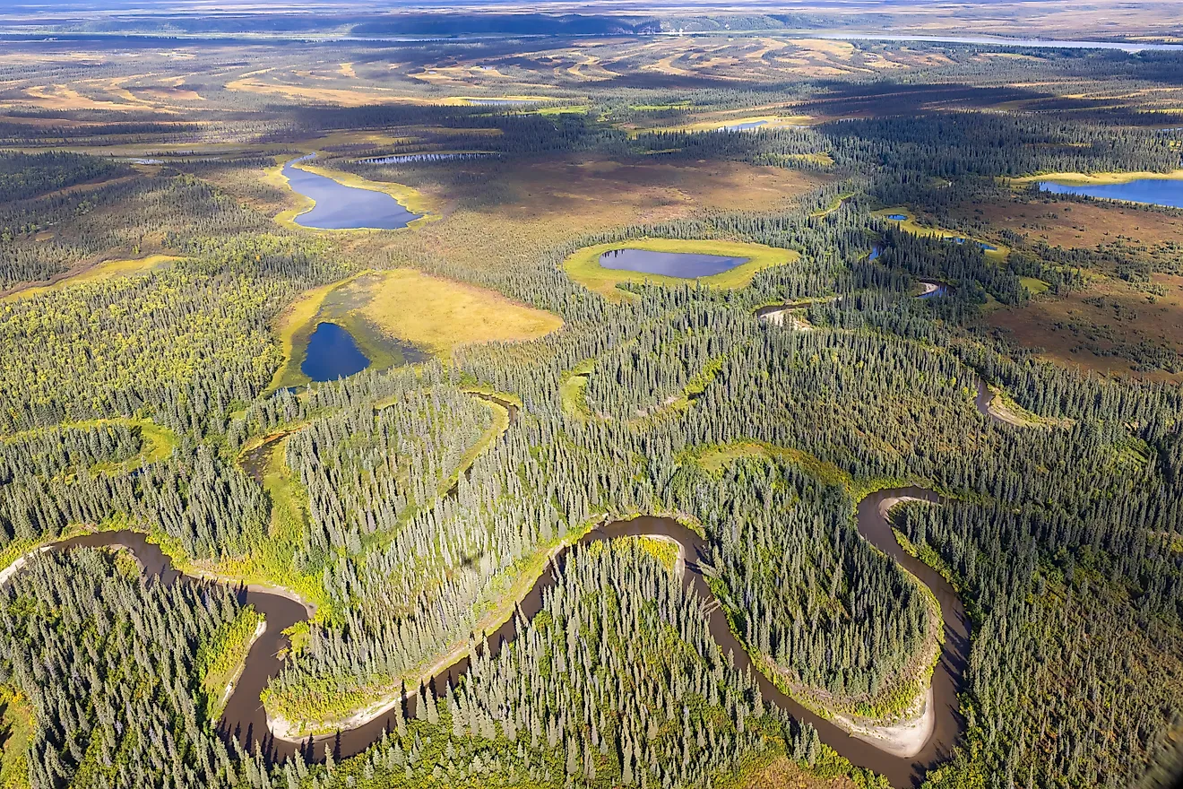
Major Bodies of Water: Missouri is home to major rivers and numerous lakes. The Missouri River, the longest river in North America, flows from west to east, defining much of the state's northern border. The Mississippi River, forming the state's eastern border, is another major waterway. Notable lakes in Missouri include the Lake of the Ozarks and Table Rock Lake, both renowned for their recreational opportunities.
Counties Map

The State of Missouri is divided into 115 counties. In alphabetical order, these counties are: Adair, Andrew, Atchison, Audrain, Barry, Barton, Bates, Benton, Bollinger, Boone, Buchanan, Butler, Caldwell, Callaway, Camden, Cape Girardeau, Carroll, Carter, Cass, Cedar, Chariton, Christian, Clark, Clay, Clinton, Cole, Cooper, Crawford, Dade, Dallas, Daviess, DeKalb, Dent, Douglas, Dunklin, Franklin, Gasconade, Gentry, Greene, Grundy, Harrison, Henry, Hickory, Holt, Howard, Howell, Iron, Jackson, Jasper, Jefferson, Johnson, Knox, Laclede, Lafayette, Lawrence, Lewis, Lincoln, Linn, Livingston, Macon, Madison, Maries, Marion, McDonald, Mercer, Miller, Mississippi, Moniteau, Monroe, Montgomery, Morgan, New Madrid, Newton, Nodaway, Oregon, Osage, Ozark, Pemiscot, Perry, Pettis, Phelps, Pike, Platte, Polk, Pulaski, Putnam, Ralls, Randolph, Ray, Reynolds, Ripley, Saint Charles, Saint Clair, Saint Francois, Saint Louis, Saint Louis City, Sainte Genevieve, Saline, Schuyler, Scotland, Scott, Shannon, Shelby, Stoddard, Stone, Sullivan, Taney, Texas, Vernon, Warren, Washington, Wayne, Webster, Worth, and Wright.
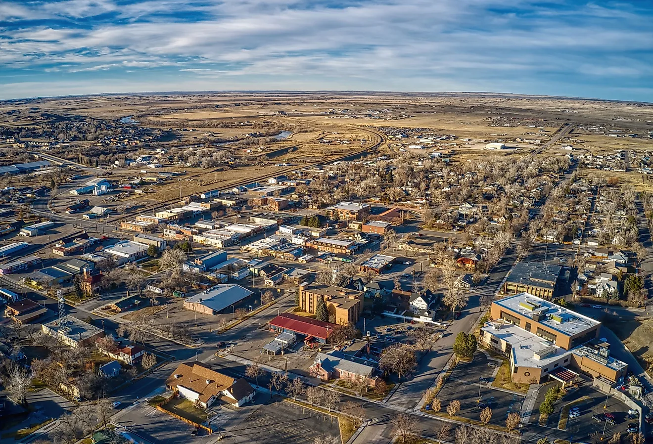
With an area of 180,560 sq. km, the State of Missouri is the 18th most populous state in the USA. Located on the northern corner of Ozark Plateau and to the south of the Missouri River, in the Cole County is Jefferson City (officially, the City of Jefferson) – the capital city of Missouri. Situated in the western part of Missouri, near the confluence of Missouri and Kansas River is Kansas City – the largest and the most populous city of Missouri. Kansas City serves as an important shipping and marketing center for a vast agricultural region.
Where is Missouri?

The State of Missouri is located in the central or Midwest region of the United States. Missouri is a land-locked state that is bordered on all sides by eight different states. It is bounded by Kansas, Nebraska, and Oklahoma in the west; by Arkansas in the south; by Illinois, Kentucky, and Tennessee in the east, and by Iowa in the north.
Regional Maps: Map of North America
Outline Map of Missouri

The above blank map represents the State of Missouri, located in the central or Midwest region of the United States. The above map can be downloaded, printed and used for geography education purposes like map-pointing and coloring activities.

The above outline map represents the State of Missouri, located in the central or Midwest region of the United States.
Key Facts
| Legal Name | State of Missouri |
|---|---|
| ISO 3166 Code | US-MO |
| Capital City | Jefferson City |
| Major Cities |
|
This page was last updated on January 18, 2024